Disclosure: This content may contain affiliate links. Read my disclosure policy.
This loop begins with a short road walk.
Trailhead info at bottom of this post.
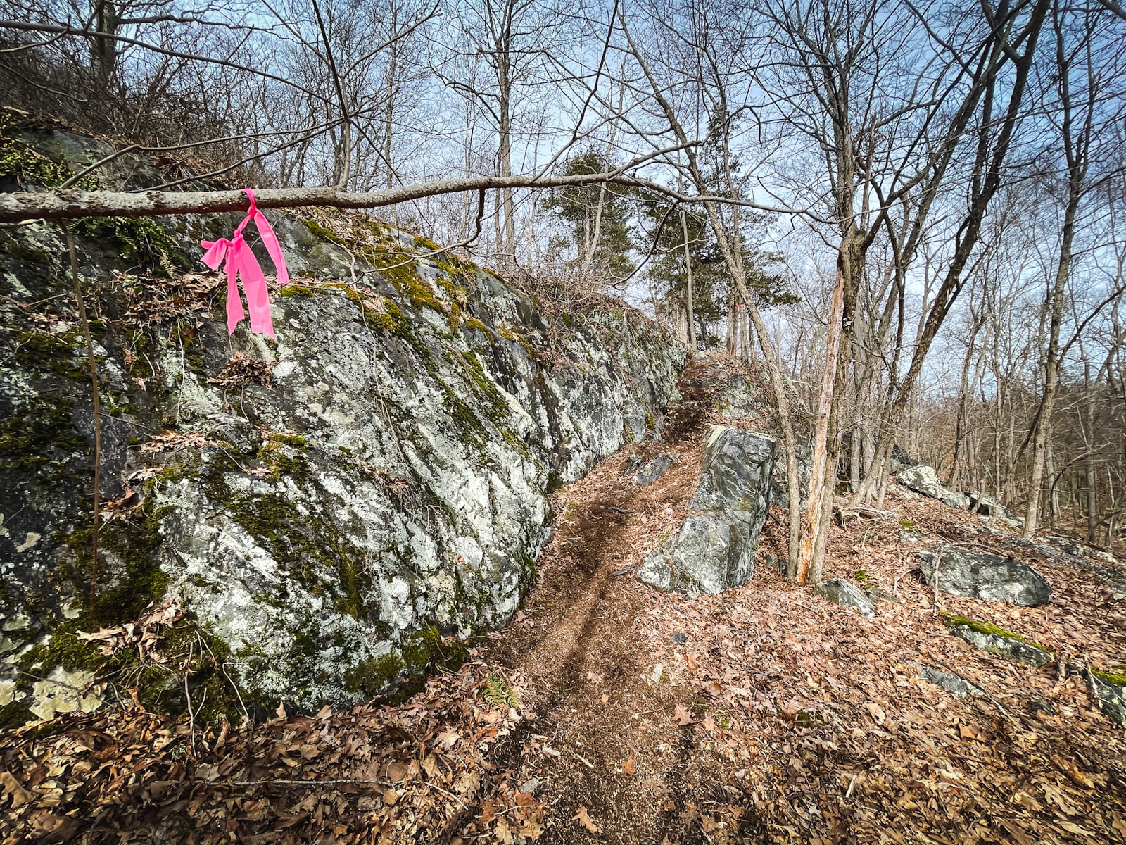
This new trail up the steep and rugged eastern side of Stissing Mountain is an absolute banger.
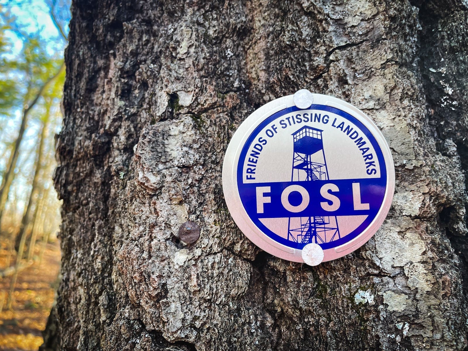
Welcome to the rugged new path that ascends Stissing Mountain’s steep eastern face—a trail crafted for those who seek a more challenging and scenic route to one of the Hudson Valley’s iconic peaks. Spearheaded by the Friends of Stissing Landmarks, this route not only diversifies the hiking options on Stissing Mountain but also showcases the group’s dedication to maintaining and enhancing the natural beauty of this beloved area.
Designed with sustainability in mind, the path features striking rock staircases and multiple switchbacks that wind tightly up the mountain. These thoughtful constructions not only protect the mountain’s delicate habitats but also make the steep ascent more manageable and engaging.
Allow approximately 1.5 hours to ascend this trail, during which you will traverse a side of Stissing Mountain that presents both a physical challenge and a rich sensory experience. The summit rewards hikers with expansive views over the Hudson Valley and a visit to Stissing’s fire tower, standing as a proud sentinel at the peak.
BTW, you might also enjoy…
- UPDATED › Best Bug Spray & Bug Repellent for Hikers
- CATSKILLS › Peakbagging The Catskills High Peaks (Ultimate Guide)
- STAY › Find Your Perfect Catskills Stay
- ADIRONDACKS › Wright, Algonquin & Iroquois Peaks
- LEARN › Teach Yourself How to Use a Compass
- ENTERTAINMENT › Best & Worst Hiking Movies
- Follow › My Instagram @TotalCatskills
- Follow › My Substack @TotalCatskills
- Follow › My writing for Times Union
Stissing from Thompson Pond Hiking Trail
The new sustainably designed trail includes…
- Steep and rugged terrain — much steeper than the classic trail
- Stunning rock staircases
- Multiple switchbacks
- Some great views
- You’ll literally see a new side of Stissing Mountain
Stissing Fire Tower from Thompson Pond Hike Time
Allow 1.5 hours for this hike.
Stissing Mountain Trail Notes & Gallery
The following content is accessible to my Patreon subscribers who kindly support this independent website. Get full access to every post on this site instantly. Support local, independent content and enjoy great supporter benefits: full galleries, full trail notes, early access to the latest content, and more.
Sean

Similar Hikes
The classic trail up Stissing Mountain provides an easier and quicker route to the fire tower.
Read More
Get full access…
Get instant access to the full version of this site and enjoy great supporter benefits: full galleries, full trail notes, early access to the latest content, and more.
Hot on the website right now…
Follow for more…
Follow my @TotalCatskills content on Instagram for regular hiking inspo and safe, inclusive community.

Stissing Mountain from Thompson Pond Trailhead
Small roadside lot
Google Maps Location: 41.969974, -73.682365
The map below shows the exact topographic location of the trailhead
Cell Service
Patchy down low, better up high. My network is Verizon. YMMV.
The parent mountain for this hike is Stissing.