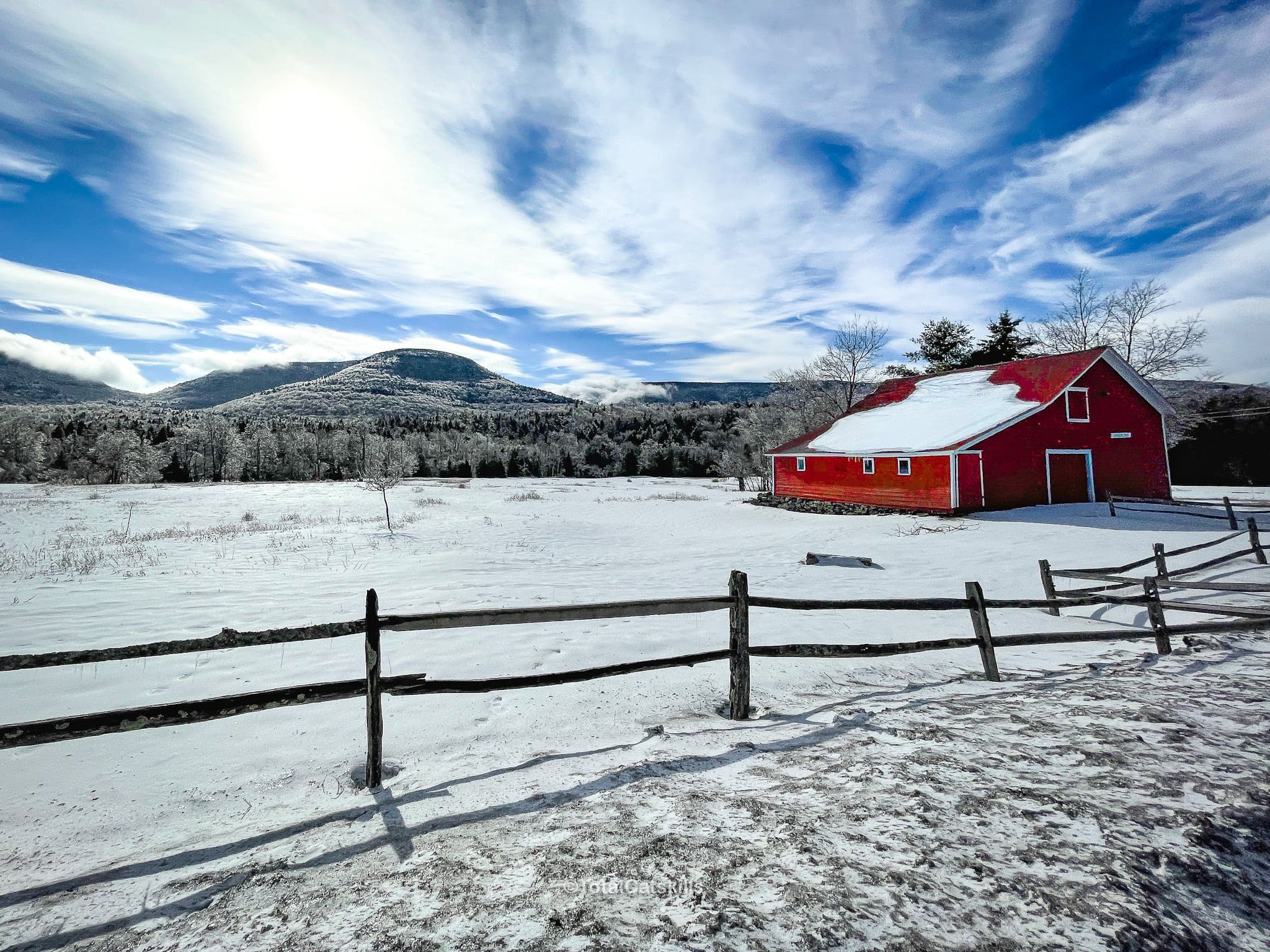
Disclosure: This content may contain affiliate links. Read my disclosure policy.
Pretty straightforward out-and-back.
Hiking Trail Description
This is the safest route to the summit of Sugarloaf Mountain in winter: via Dibbles Quarry and Pecoy Notch from the Roaring Kill trailhead.
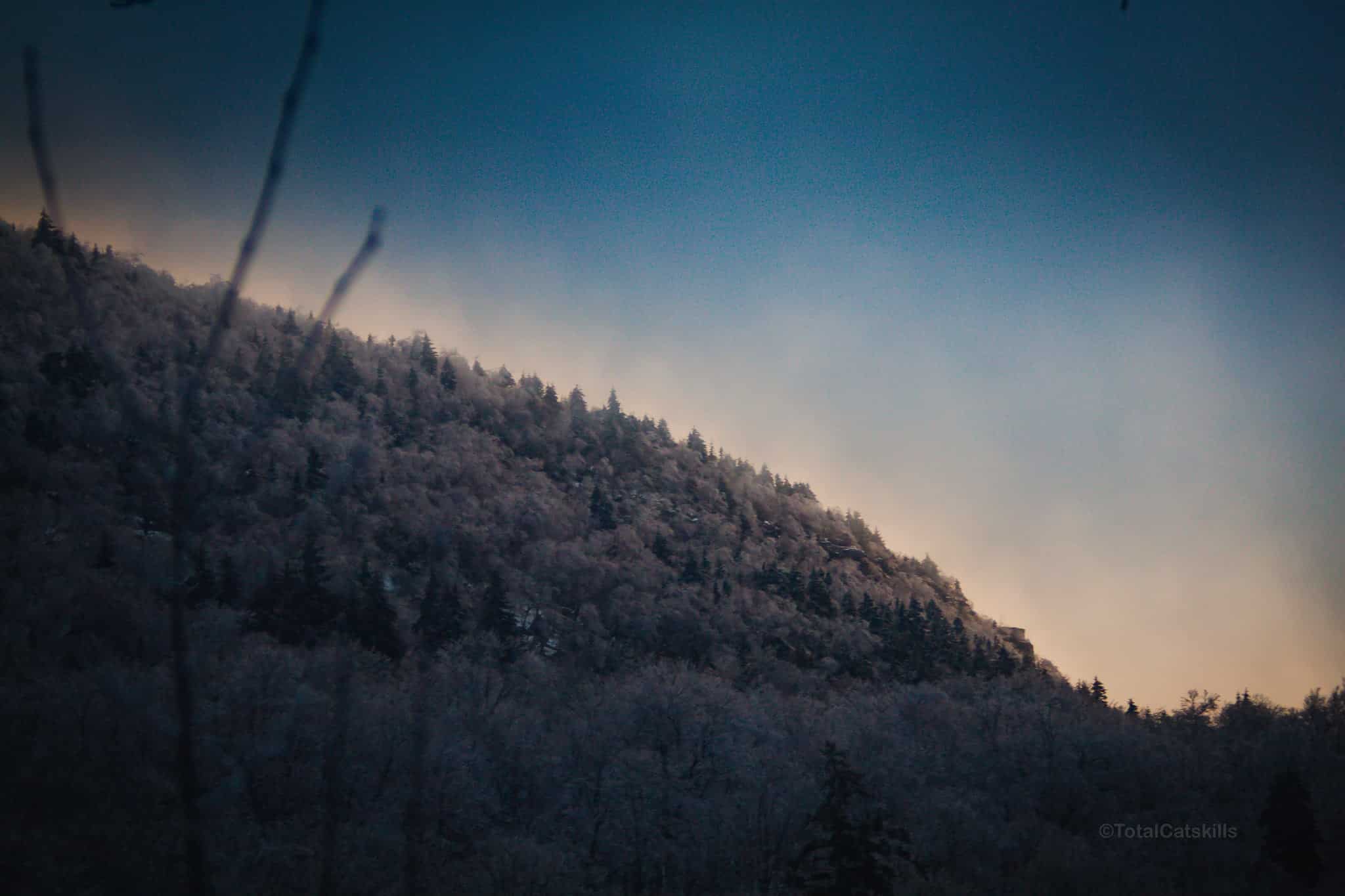
In the coldest months, the western slopes of the eastern Devils Path mountains are covered in treacherous ice. One of the worst-affected is Sugarloaf mountain, whose steep and rugged western slope in winter is locally known as “Suicide Mountain”.
When the ice gets thick enough, full winter mountaineering gear (and skills) are required to summit Sugarloaf from Mink Hollow.
The safer route on this page is still plenty challenging. It’s also extremely beautiful.
Even so, I had to abandon this route in February 2022 at 3200’ because weather conditions deteriorated below my risk tolerance. I came back two weeks later — on a calm, sunny day — and got it done. You’ll see the difference in the two days in the mix of photos below.
Remember: if you think it might be a good idea to turn around on a hike, it’s probably a good idea to turn around on a hike.
BTW, you might also enjoy…
- NEW › Winter Skincare for Hikers
- CATSKILLS › Best Catskills Waterfalls
- STAY › Find Your Perfect Catskills Stay
- ADIRONDACKS › Hike Van Hovenberg
- ENTERTAINMENT › Best & Worst Hiking Movies
- Follow › My Instagram @TotalCatskills
- Follow › My Substack @TotalCatskills
- Follow › My writing for Times Union
Sugarloaf Mountain Winter Hiking Trail
The Sugarloaf-From-Roaring-Kill hiking trail includes…
- A fantastic bluestone quarry with fantastic views
- An idyllic stream crossing
- A beaver pond
- Rugged rocks-and-roots terrain
- Great views of Twin Mountain
- An enormous boreal Catskills summit
- Great views of the central Catskills
In winter, you will need at least microspikes to hike. When the snow is deeper than 8″, switch to snowshoes. Read this Winter Hiking Essential Roundup.
This trail guide is new. The hike was completed on 2/20/22 under which date this page will eventually be filed.
Sugarloaf in Winter Trail Notes & Gallery
This trail guide is free to all readers thanks to my subscribers. Get full access to this website instantly and enjoy great supporter benefits.
Note: The trailhead for this hike is on Roaring Kill Road which, technically, is closed in winter, though it’s not blocked with gates (the way Platte Clove Road is closed between November and April).
What this means is that, after snowfall, the road is not plowed. After light snowfall, if your car has AWD or 4WD, the road is passable. After heavy snowfall, the trailhead may not be accessible by car.
Check the bottom of this post for the exact trailhead location. Your best bet for learning the current status is to get a recent trail conditions report from one of the many excellent online Catskills hiking groups.
From the trailhead, hike into the woods, sign the register, following the short yellow-blazed spur trail to the first junction.
You may see various animal tracks at several points along this route. In February, I saw fresh bobcat, deer and coyote tracks…
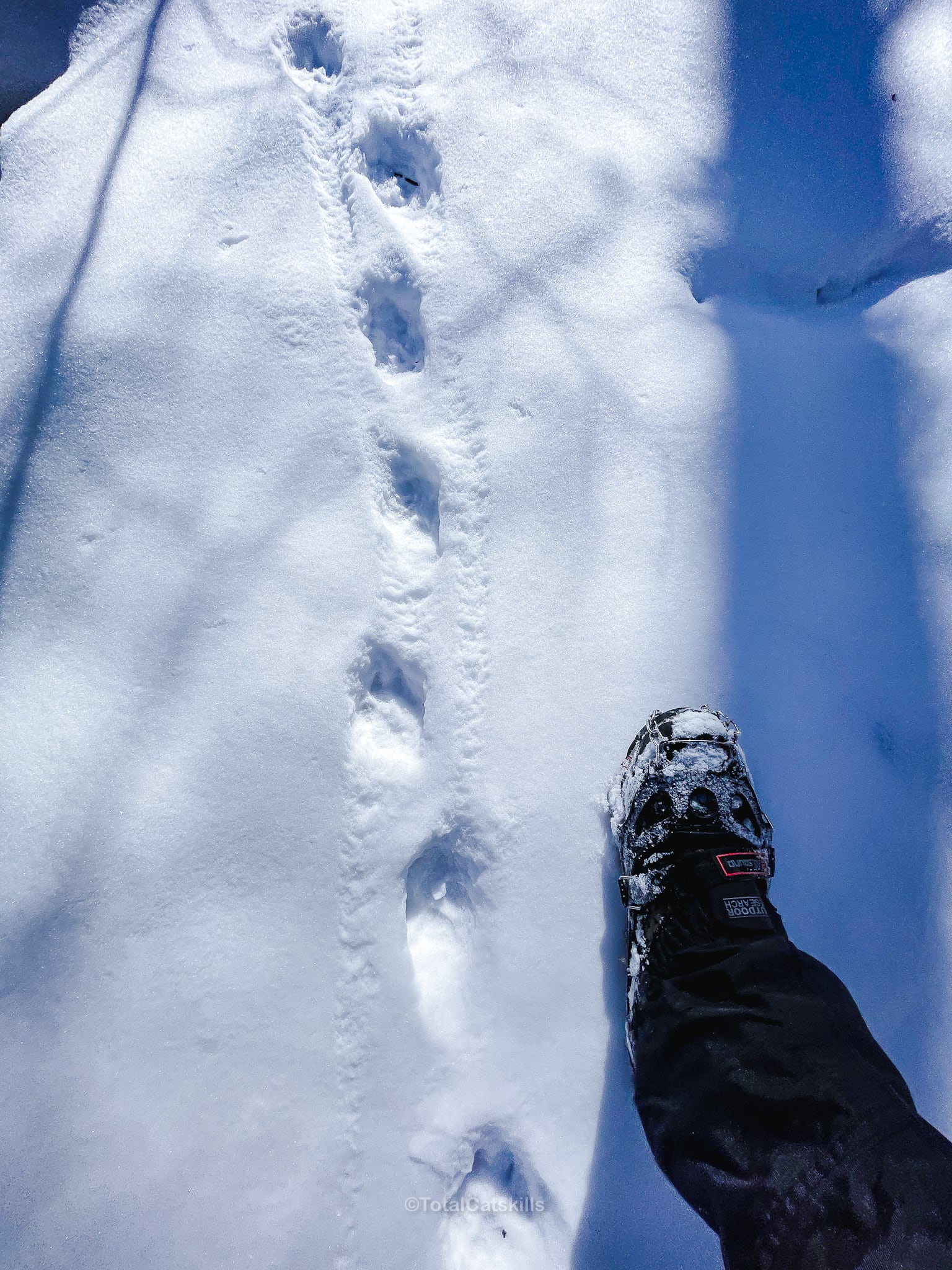
…and this massive fresh bear print…
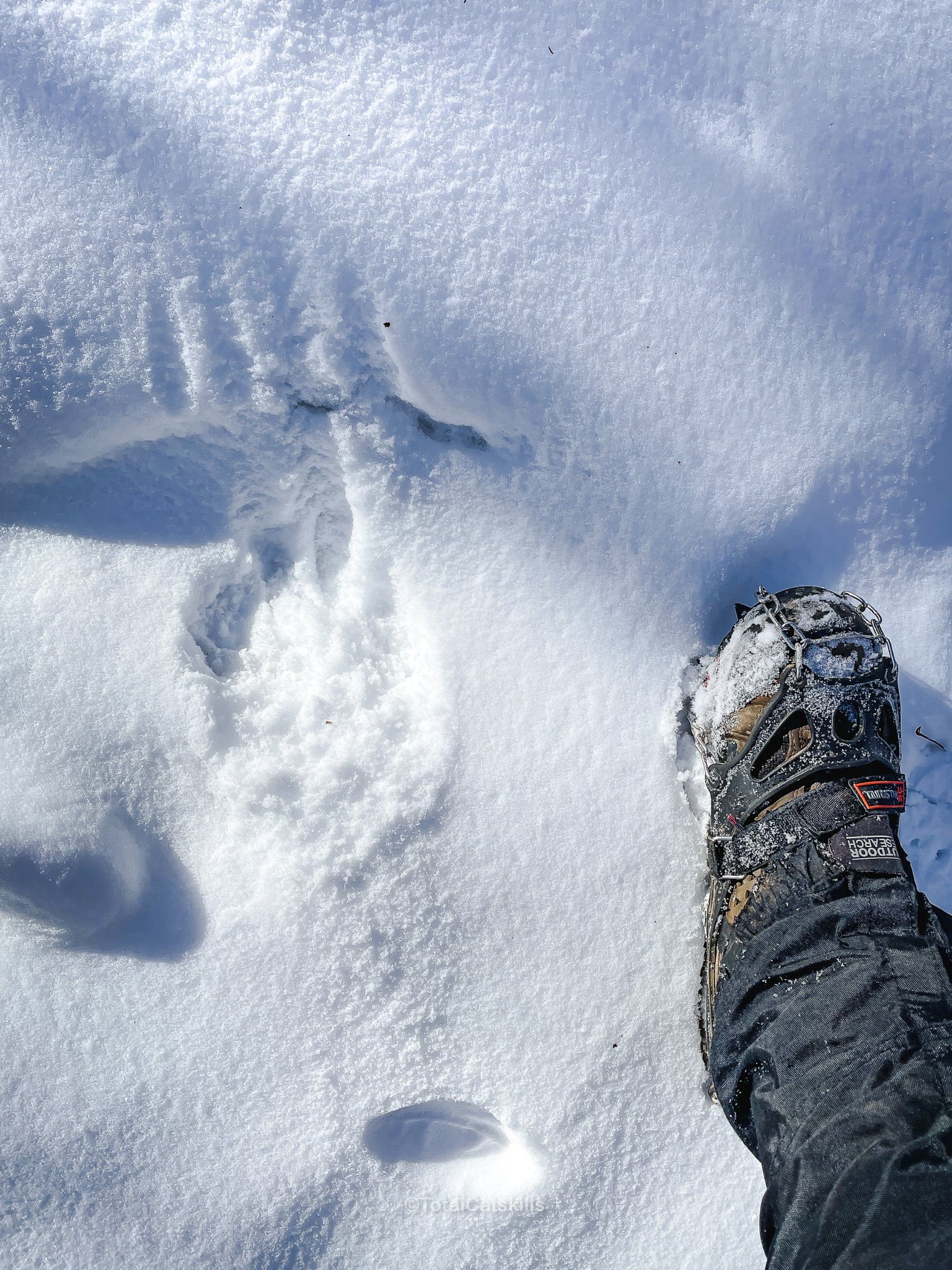
Check out those claw marks!
Dibbles Quarry
From there, head south/left and uphill toward Dibbles Quarry which lies one mile from the trailhead.
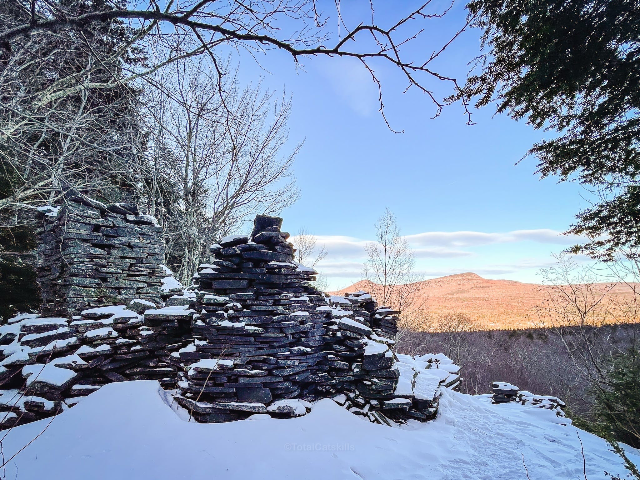
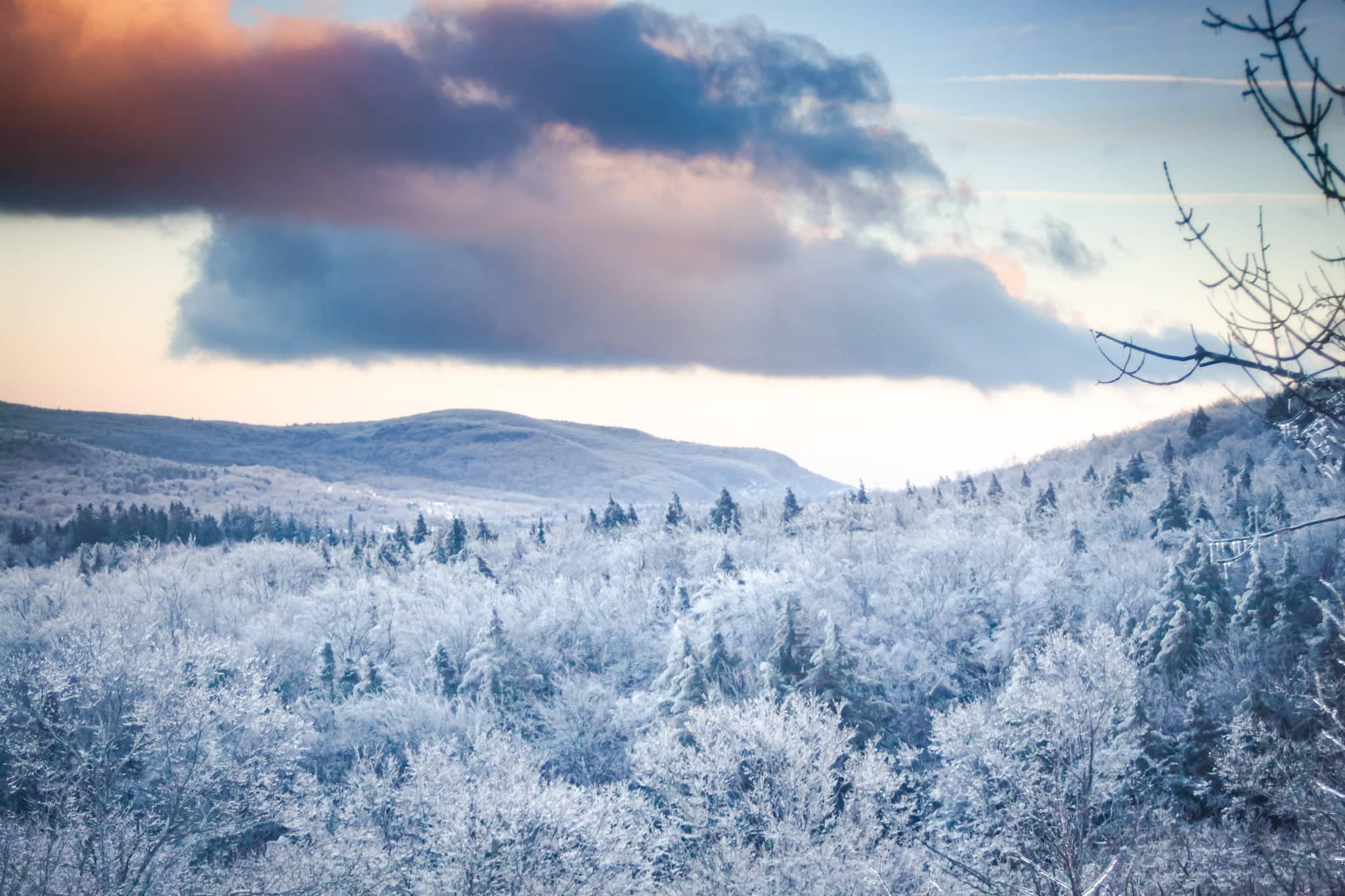
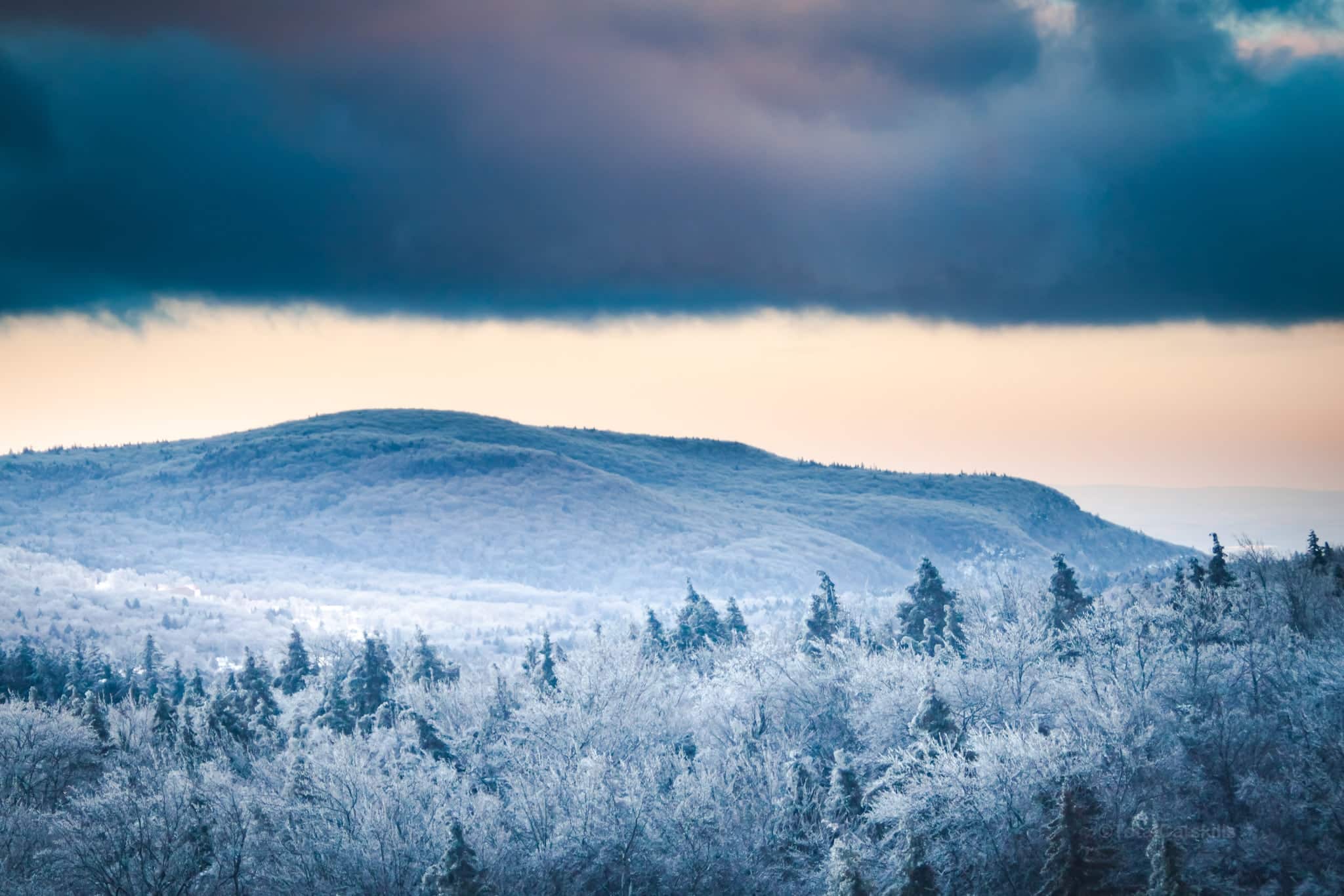
Pass through the quarry, cross the stream, and head uphill through the hemlock stand.
Make your way around the beaver pond up to Pecoy Notch.
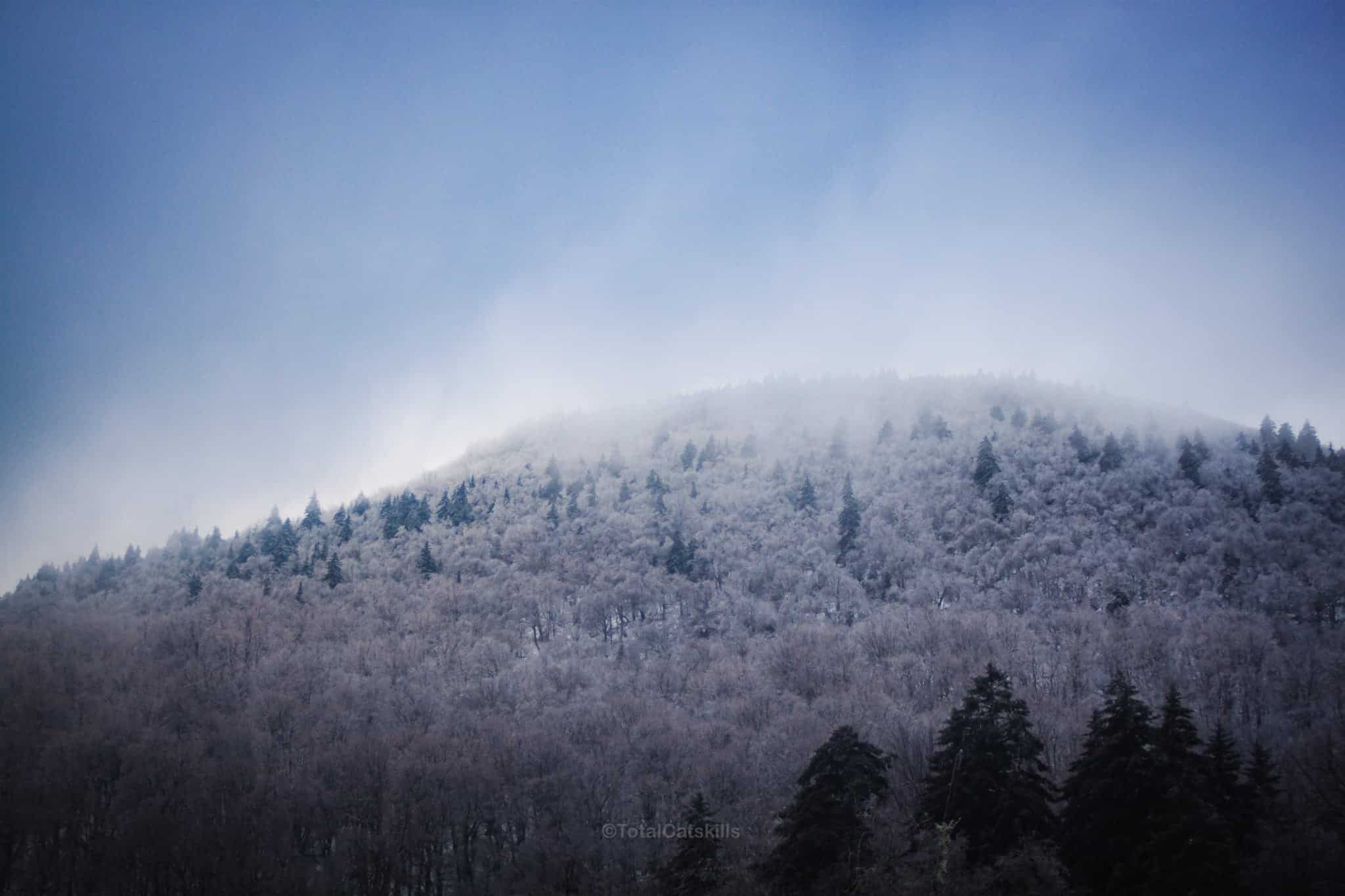
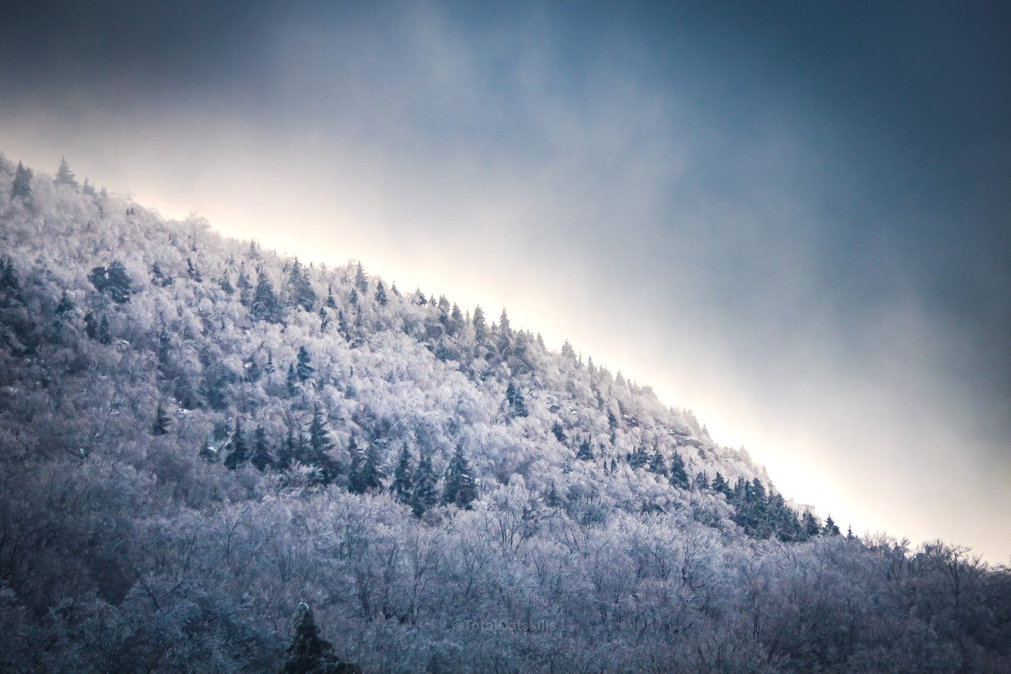
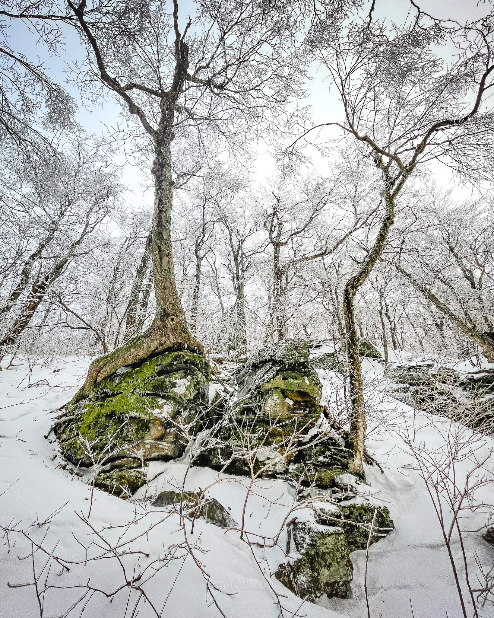
Pecoy Notch
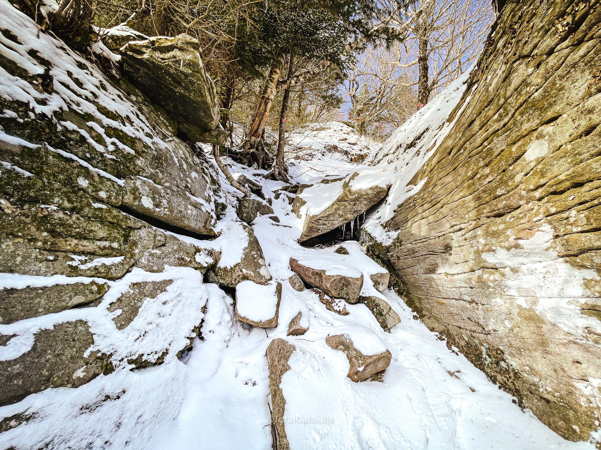
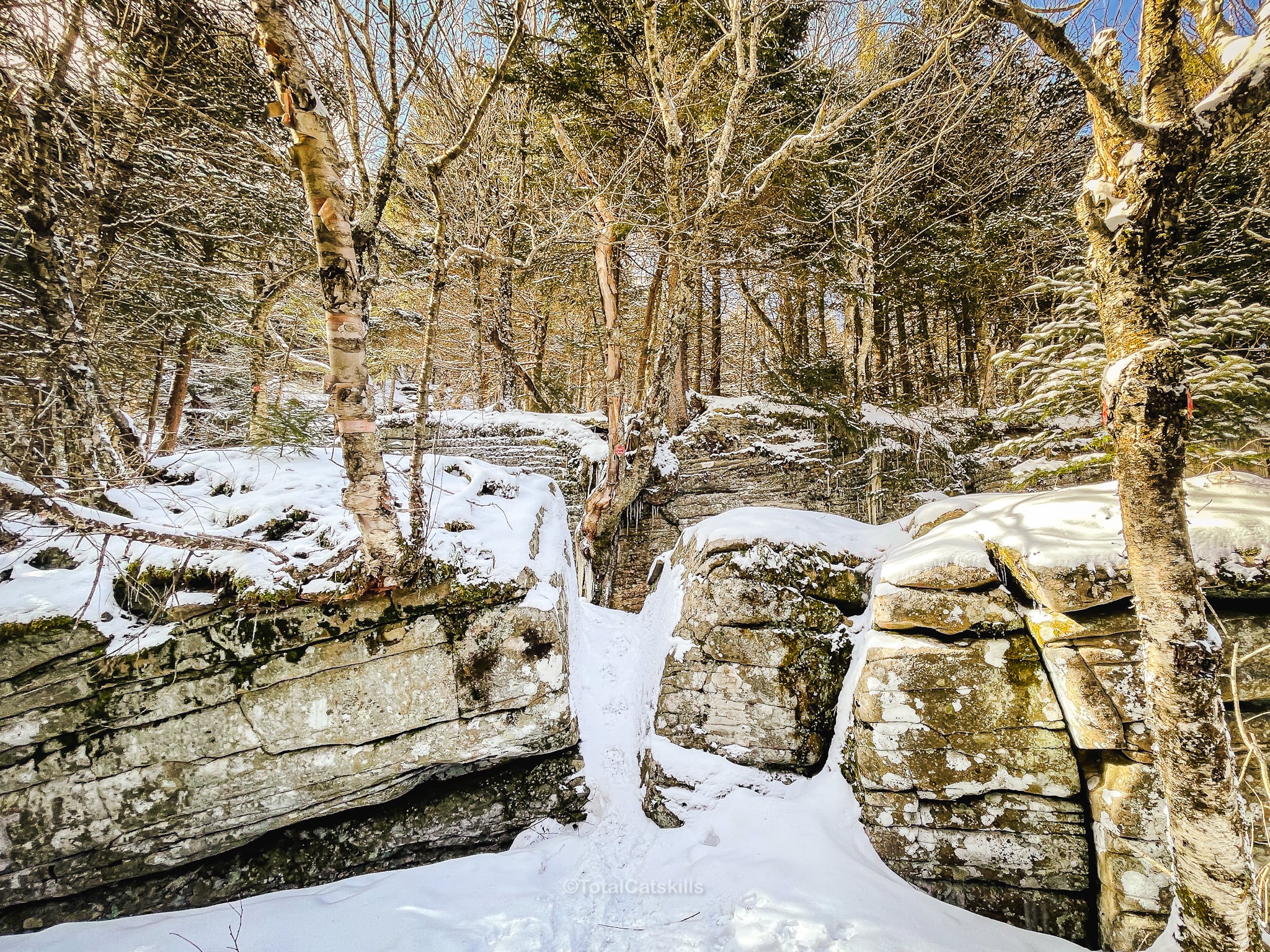
On this hike, I poked around Pecoy Notch a little. So beautiful in there when it snows.
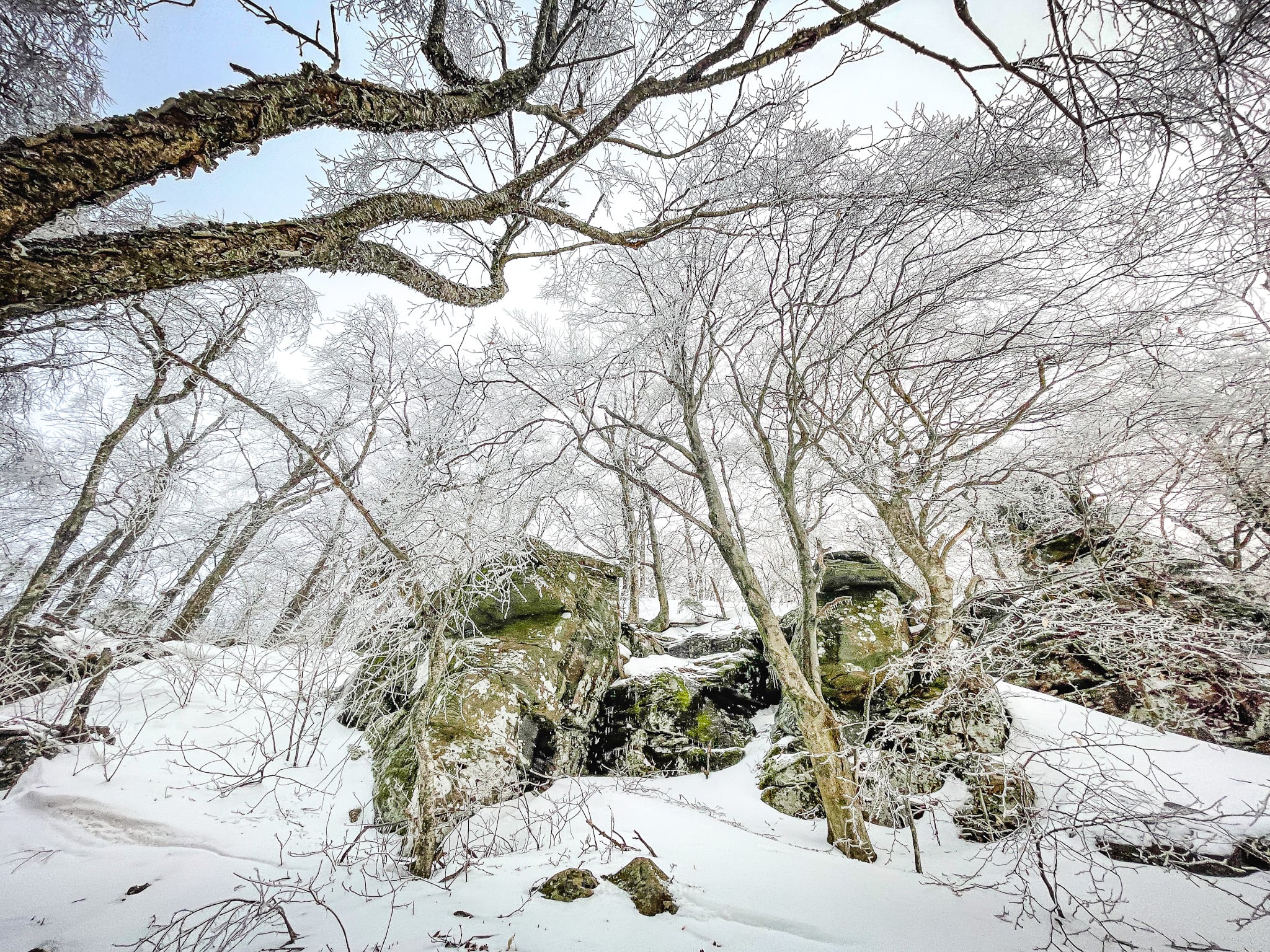
From there, follow the Devils Path hiking trail west/right to the summit.
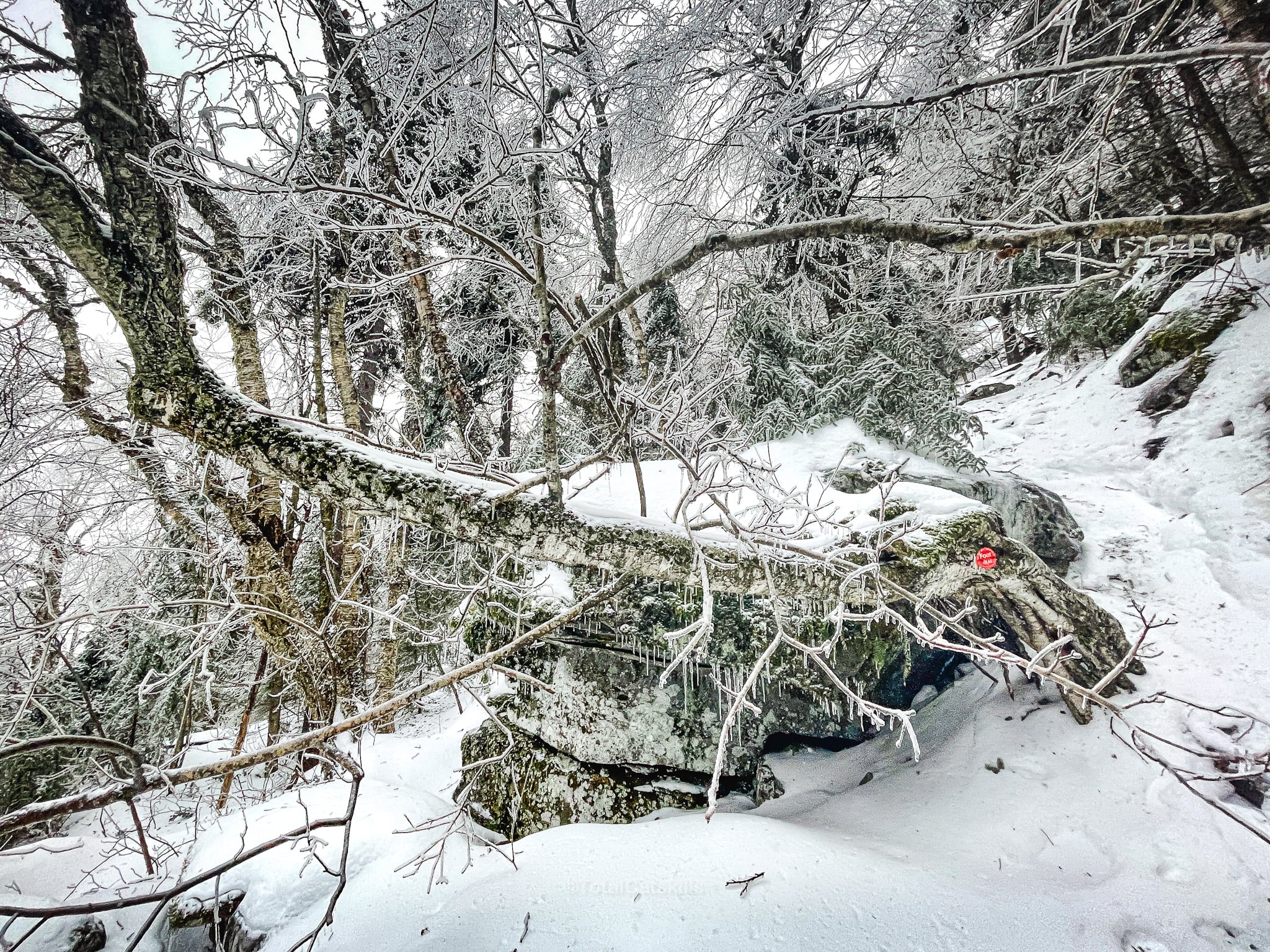
Twin Views
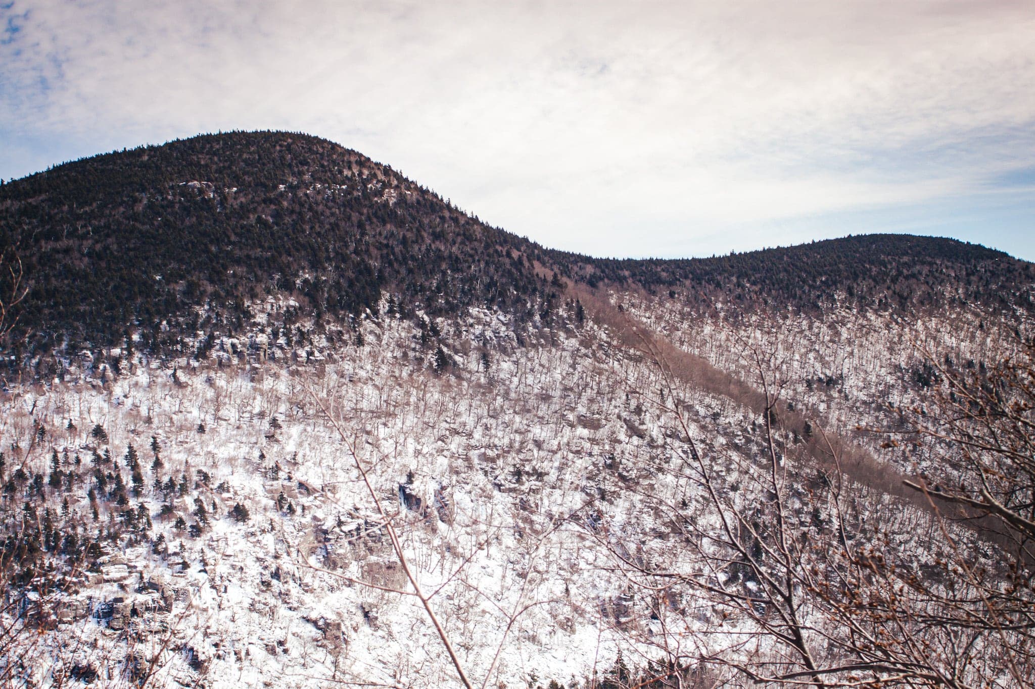
On the way up, turn around to look back at the two summits of Twin Mountain…
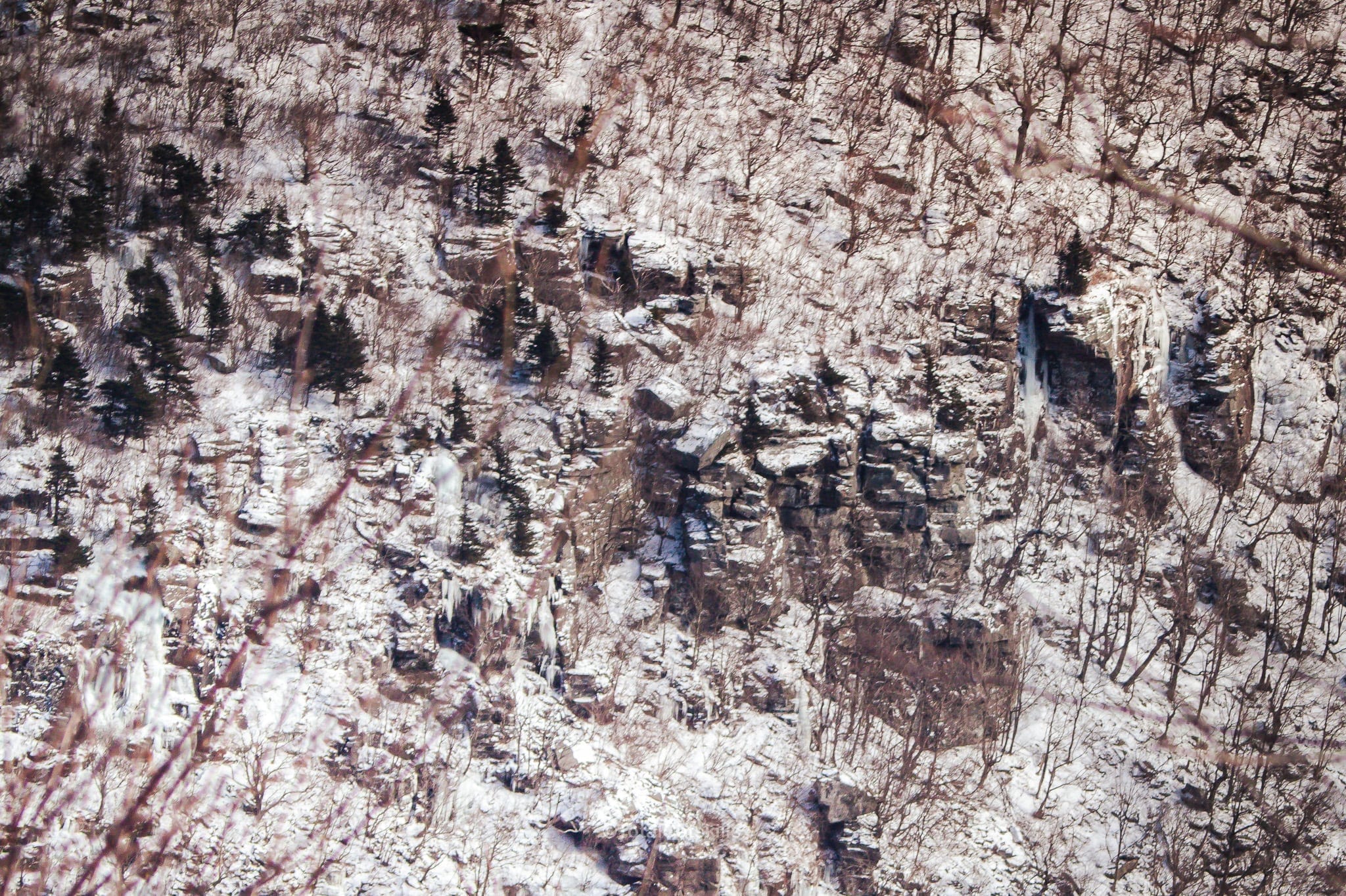
…and notice these cliffs…
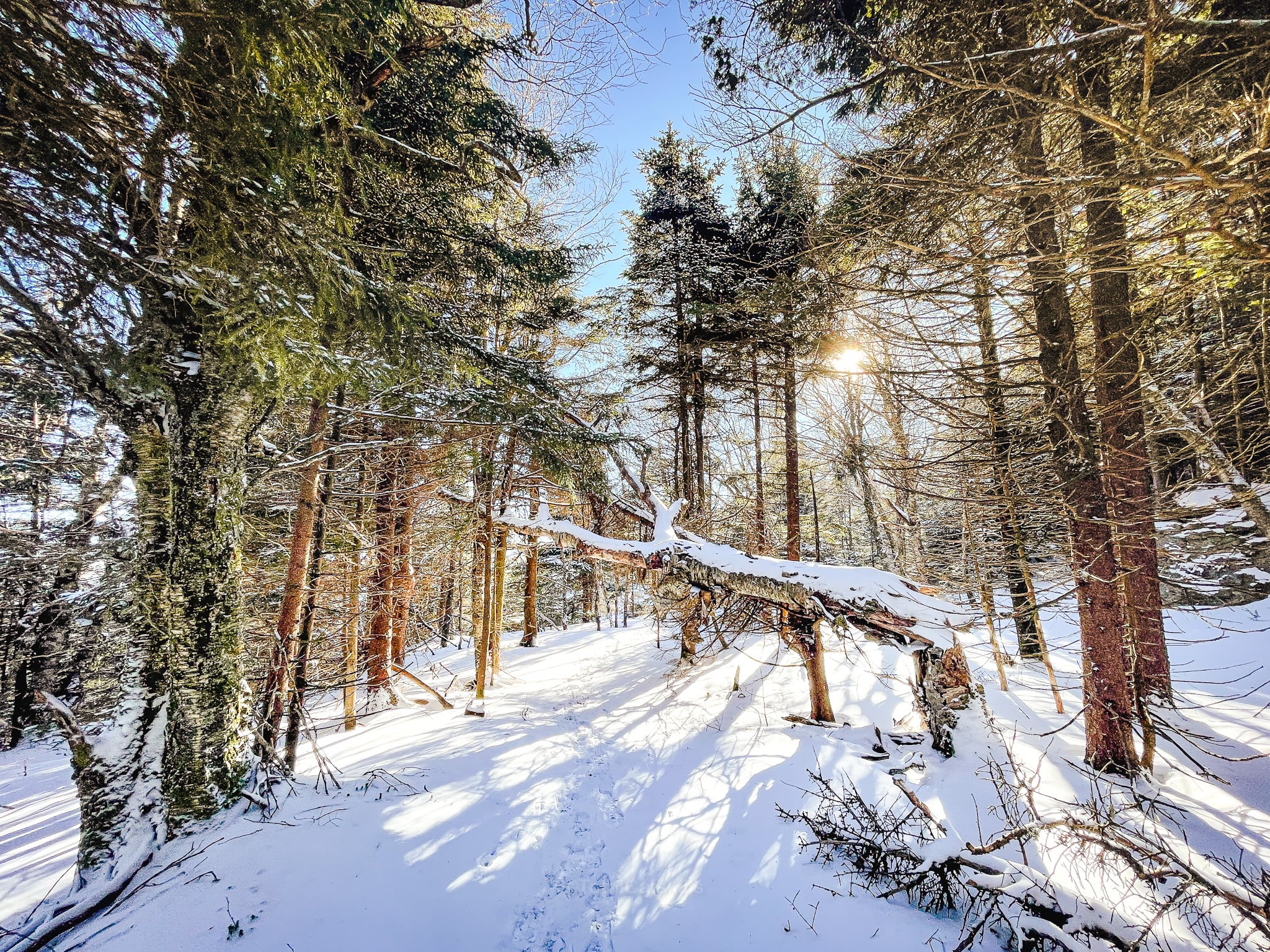
Sugarloaf Mountain Summit
Sugarloaf has no summit marker but, over my shoulder in this photo, you can see a tree with a distinctive split in its trunk that marks the spot…

The Catskills typically have no summit markers. Always leave no trace.
Sugarloaf Overlook
Hike a little way past the summit to find another spur trail to a solid overlook.
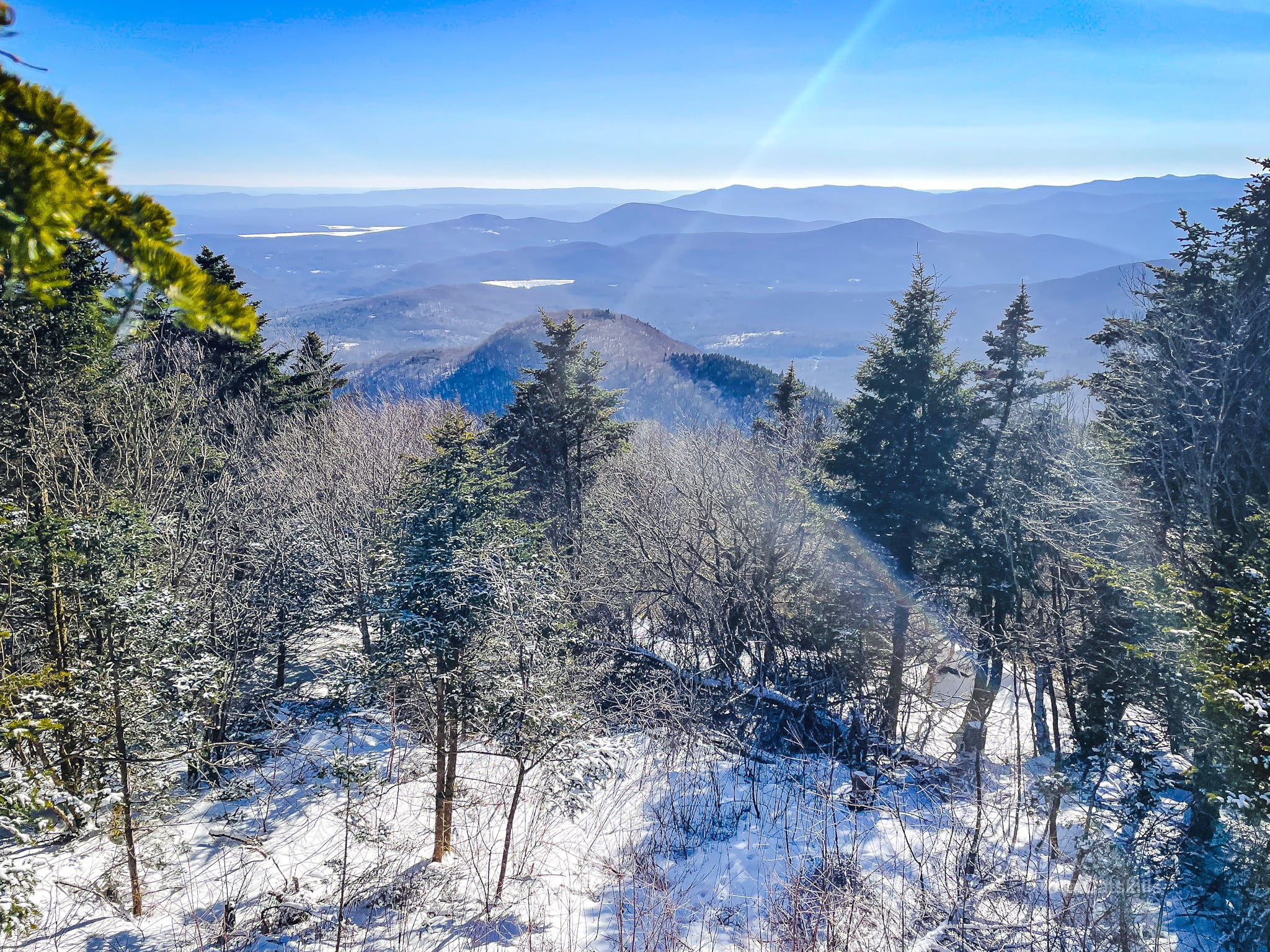
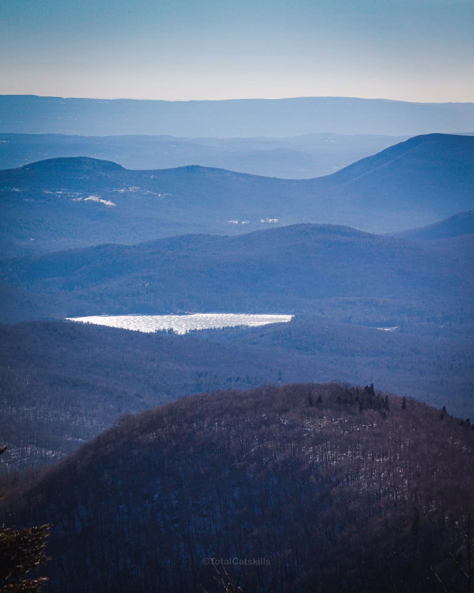
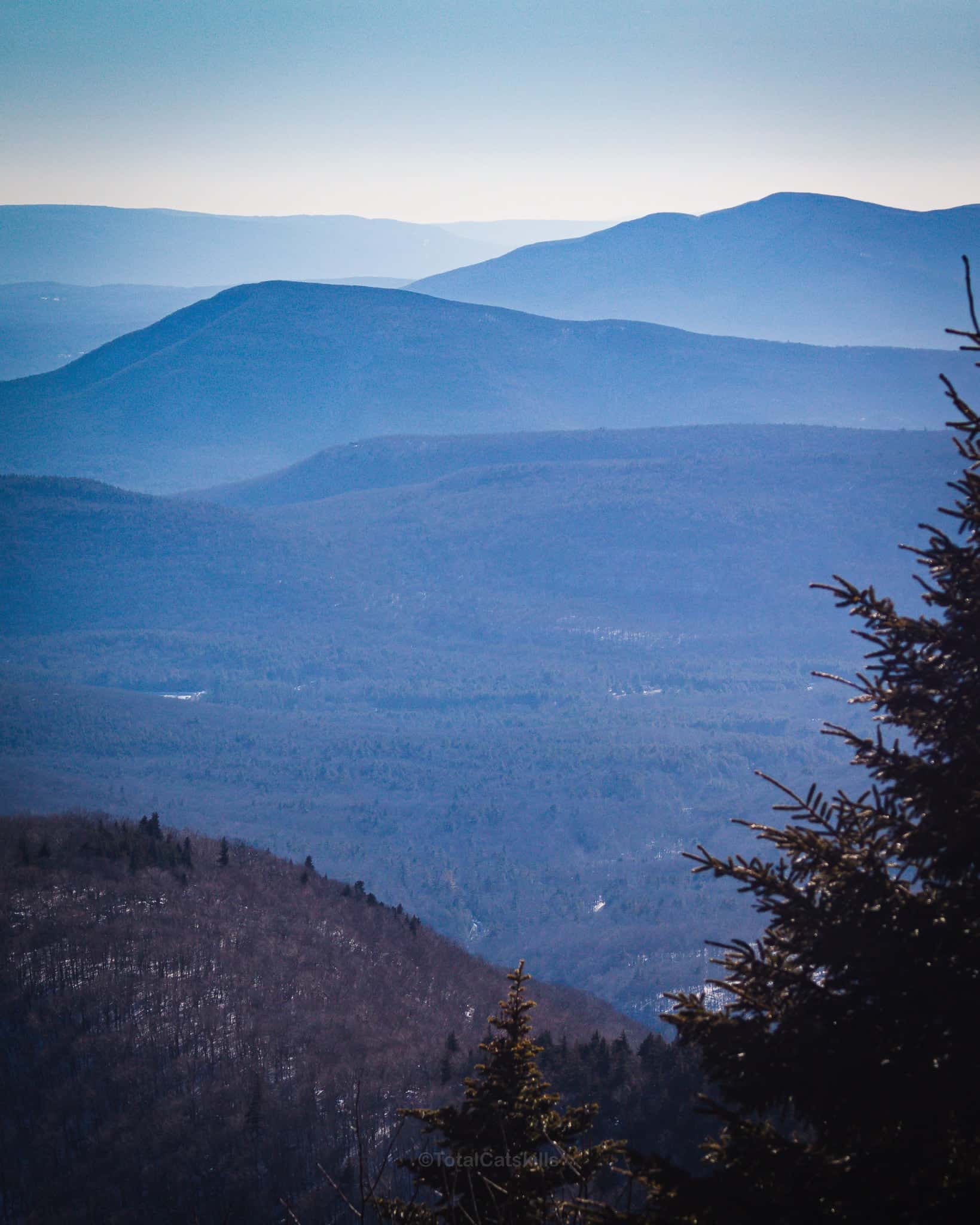
From there, reverse course and make your way back to the trailhead the way you came.
Similar Hikes
The eastern Devils Path is so much fun.
West Kill is another sizable and crazy-beautiful mountain.
Read More
Read How to Winter Hike: the Essential Roundup.
Get full access…
Get instant access to the full version of this site and enjoy great supporter benefits: full galleries, full trail notes, early access to the latest content, and more.
Hot on the website right now…
Follow for more…
Follow my @TotalCatskills content on Instagram for regular hiking inspo and safe, inclusive community.
Sugarloaf in Winter (Safest Route) Trailhead
Medium-sized lot on a section of dirt road that is unplowed in winter.
Google Maps Location: 42.151140, -74.130851
The map below shows the exact topographic location of the trailhead
Cell Service
Sketchy at the trailhead, non-existent in spots, some service up high. My network is Verizon. YMMV.
The parent mountain for this hike is Sugarloaf.
