Disclosure: This content may contain affiliate links. Read my disclosure policy.
9 miles of hiking heaven from Woodland Valley to Oliverea Rd. 30 minute shuttle at the end.
Hiking Trail Description
This hike does not disappoint. It’s long and difficult, with some hairy sections, but the rewards are enormous. This is absolutely the best day hike in the Catskills.
This hike has a lot of elevation gain.
Our group of five assembled at the DEC lot in Woodland Valley. The parking area is on the opposite side of the road from where the hike begins, so exit the lot, cross the road, and head left toward the trailhead sign that says, “Wittenberg Mt 3.9”.
Hiking Up Wittenberg
The first mile or so of this trail is quite steep but the mix of forest and rocky outcroppings keeps it interesting. It had been a while since I’d hiked to Wittenberg, and I’d forgotten how lovely the first trail section of 2.6 miles is.
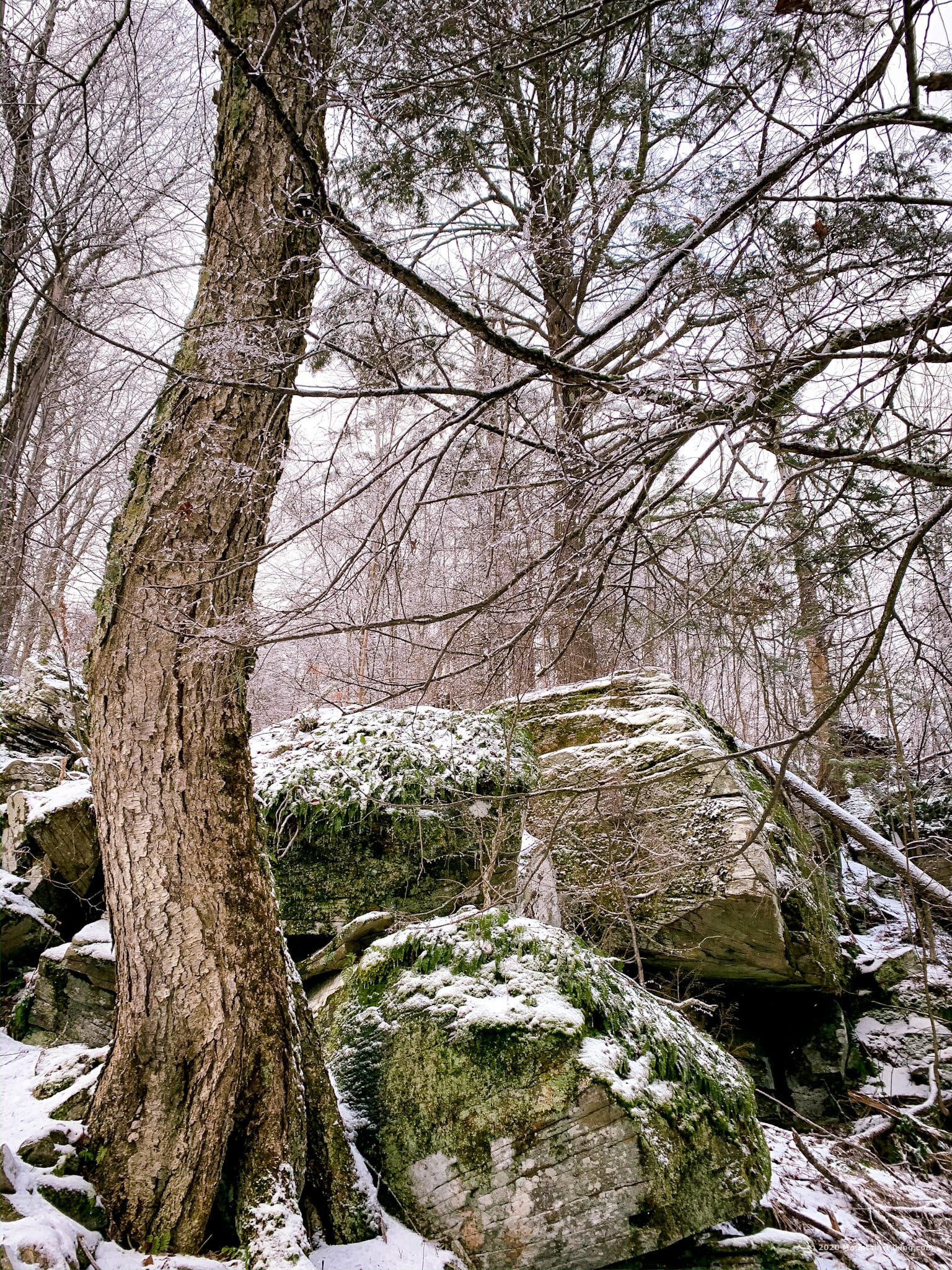
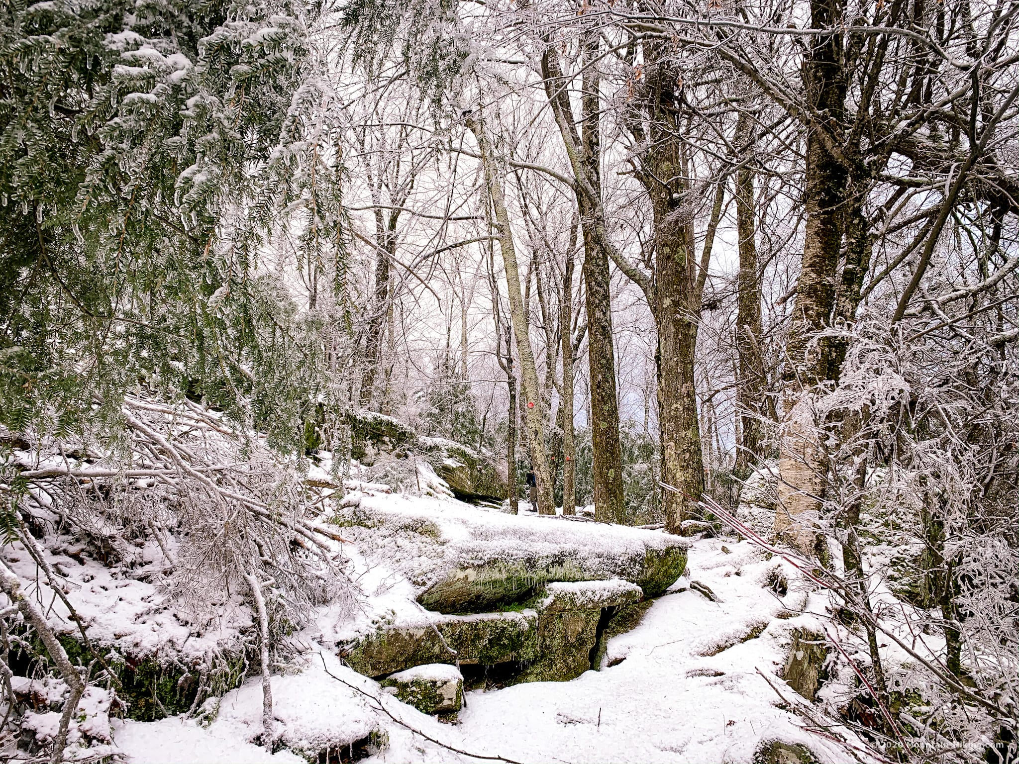
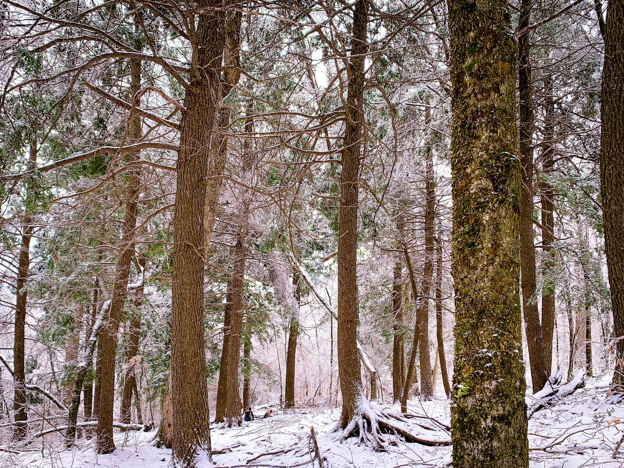
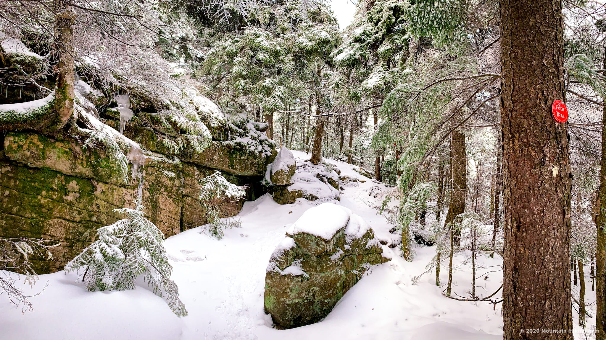
The mix of pine and hemlock all along the trail is so wonderful.
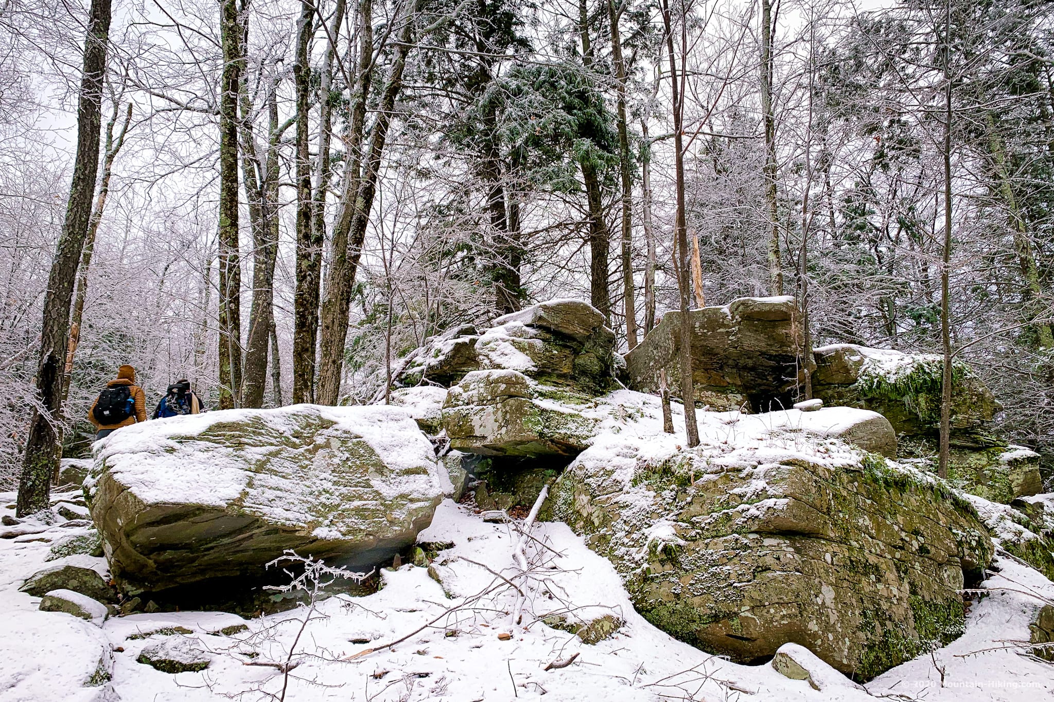
And there are several patches of dramatic boulders to work around or pass through.
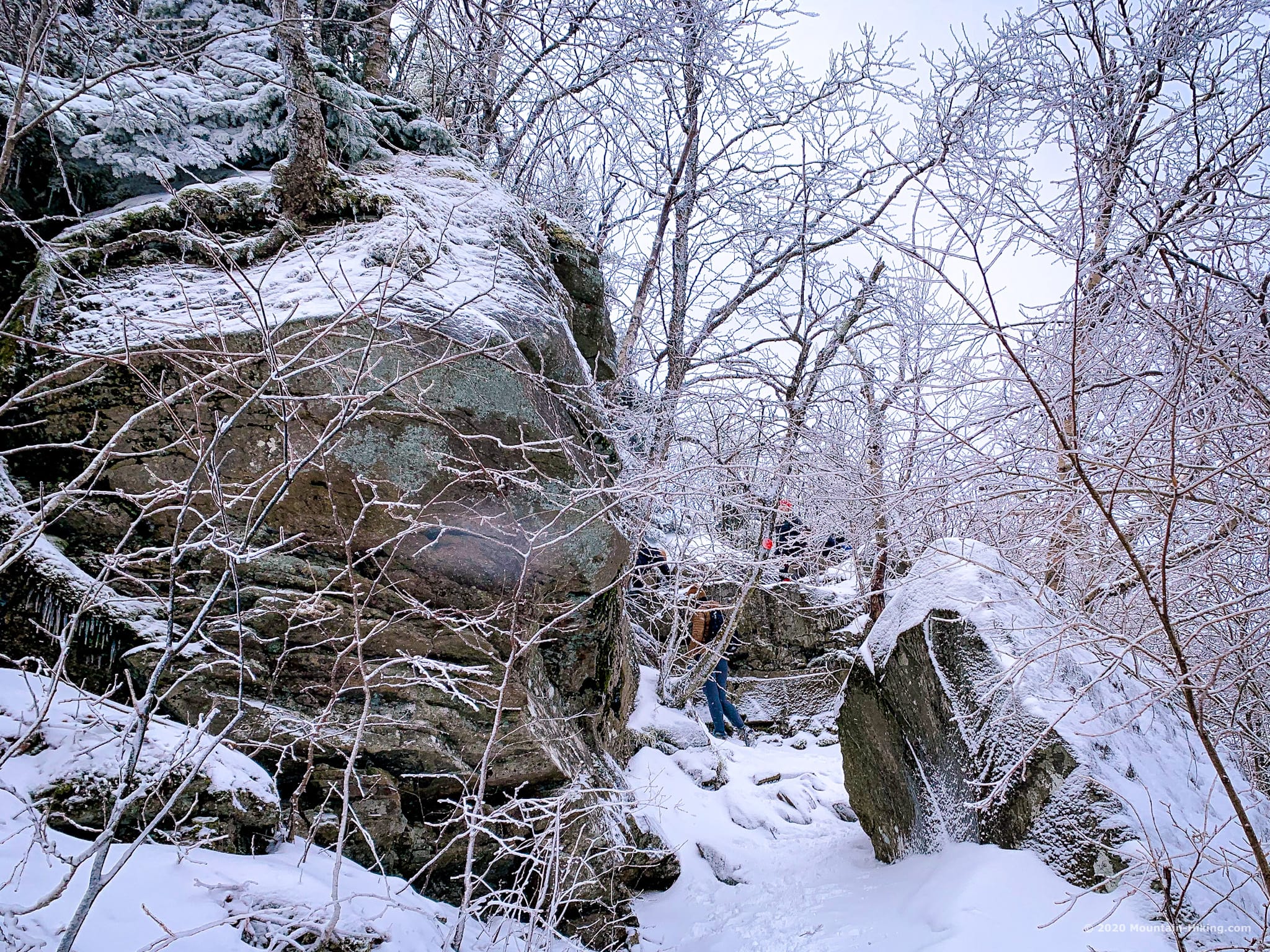
Much of Wittenberg is just astonishingly beautiful.
After a final steep pitch through dense pine trees, the ledge opens onto one of the grandest views in the Catskill Park. From the Devil’s Path in the north, to Samuels Point and the Ashokan Reservoir, Ashokan High Point, Balsam Cap and Friday Mountain, and even a little of Cornell, the vista takes in at least 180° — a rare view in the Catskills.
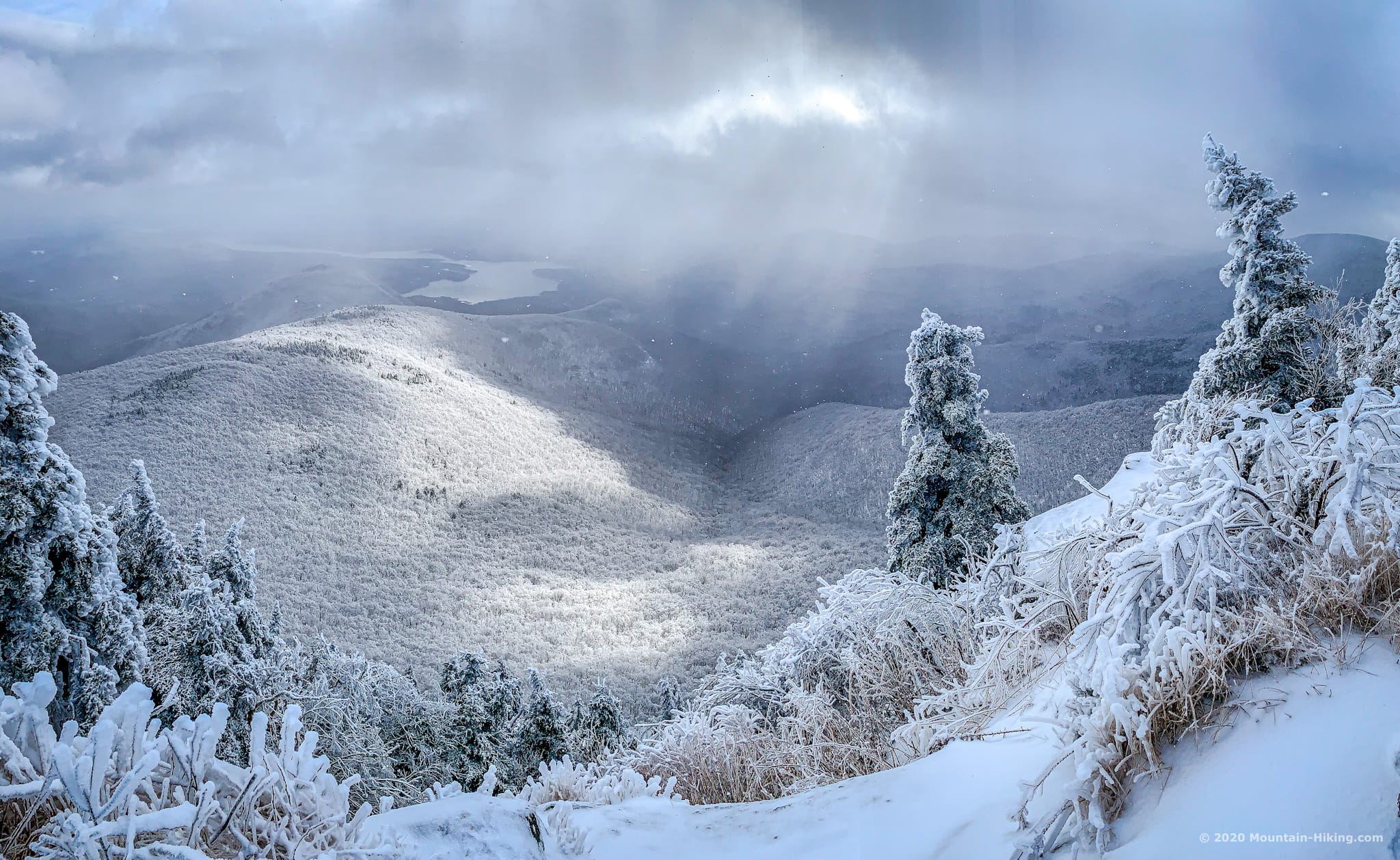
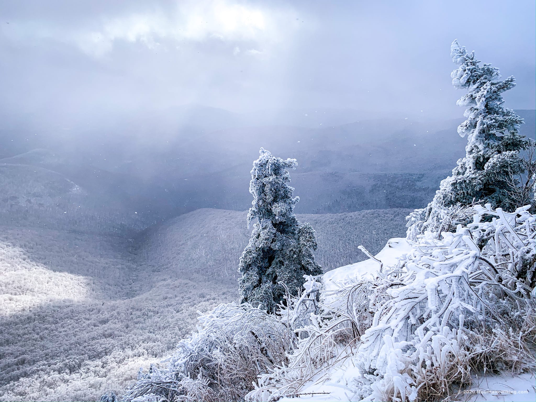
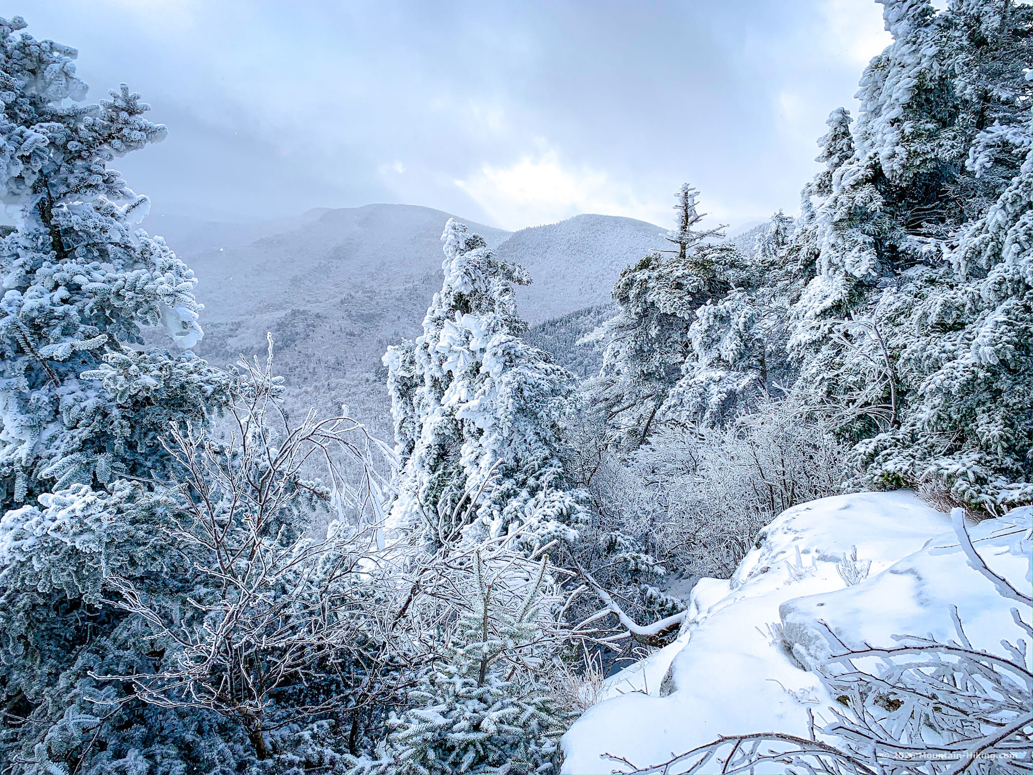
We talked with Drew who we met at the ledge. He had camped out at Terrace Mountain — temps were the teens overnight (apx -10°C) — and he described strong winds that shook icicles and branches loose from the trees around him; he retreated from his tent to the lean-to for safety.
You could spend an hour here, easily, one reason this is the best day hike in the Catskills. But the cold kept us moving.
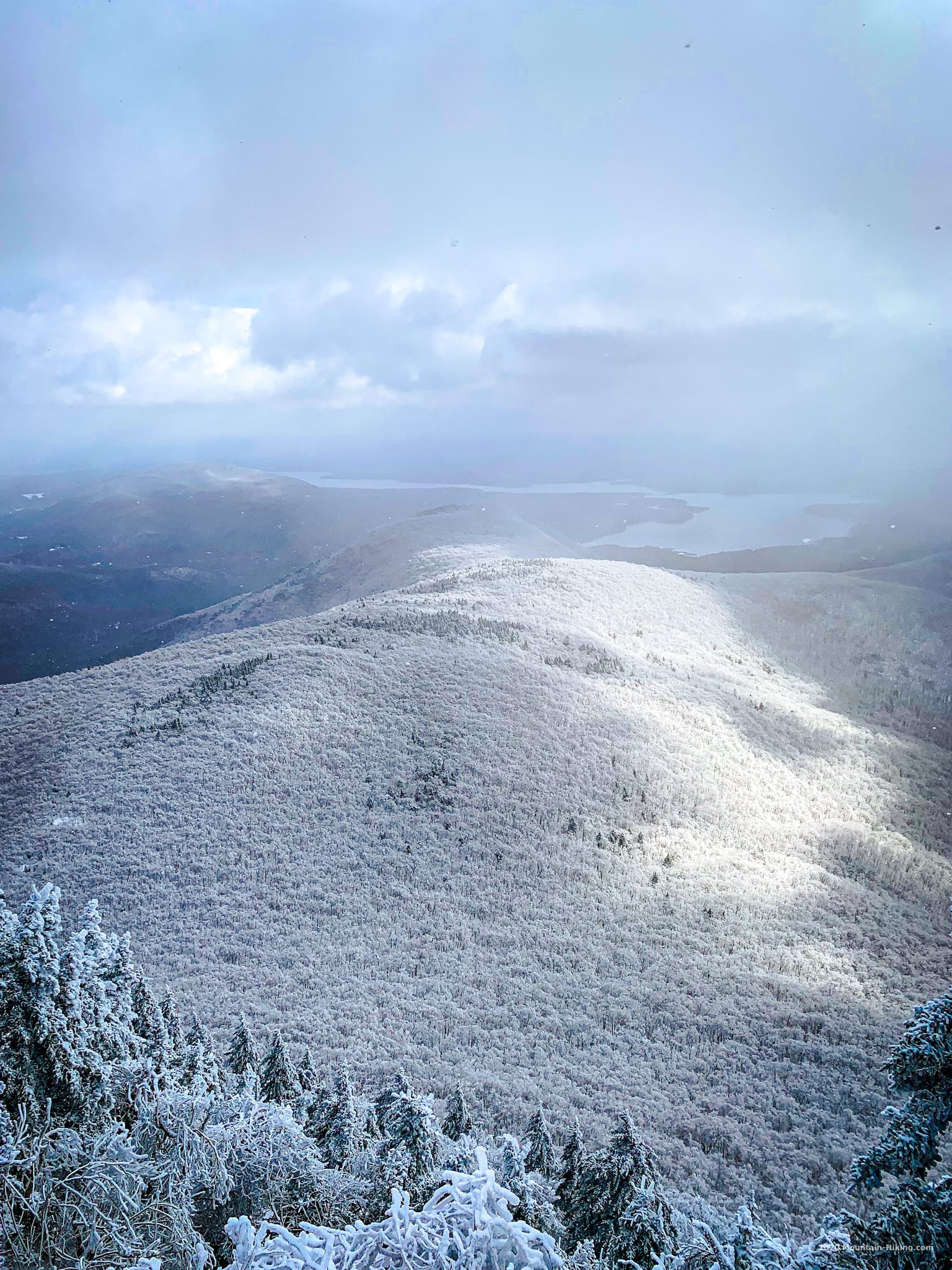
The cold was starting to get to some of our hands, so we picked up and headed for Cornell.
Hike Wittenberg to Cornell
The passage from Wittenberg to Cornell is a ton of fun. At times, the trail is very narrow. The col between the two mountains is almost an arête. (Arêtes form when two glacial cirques erode towards one another. Usually, this results in a saddle-shaped pass, a col, which are common in the Catskills. But sometimes weathering sharpens the ridge even further into an arête…)
Eventually you come to Cornell Crack…
Get full access…
Get instant access to the full version of this site and enjoy great supporter benefits: full galleries, full trail notes, early access to the latest content, and more.
Hot on the website right now…
Follow for more…
Follow my @TotalCatskills content on Instagram for regular hiking inspo and safe, inclusive community.
Best Day Hike in the Catskills: Wittenberg, Cornell, Slide Trailhead
Sizable lot. To begin your hike, leave the lot, head back up the road a little, and cross over to where you see the trail signs on the opposite side of the road.
Google Maps Location: 42.036117, -74.358157
The map below shows the exact topographic location of the trailhead
Cell Service
Dodgy in the valleys and cols. Decent on the summits of Wittenberg and Slide. My network is Verizon. YMMV.
The parent mountain for this hike is Wittenberg.

