Disclosure: This content may contain affiliate links. Read my disclosure policy.
Super easy hike down to the viewing platform above the falls; steep staircase down to the base of the falls is optional.
Bash Bish Falls is one of the most popular and spectacular outdoor destinations in Massachusetts.
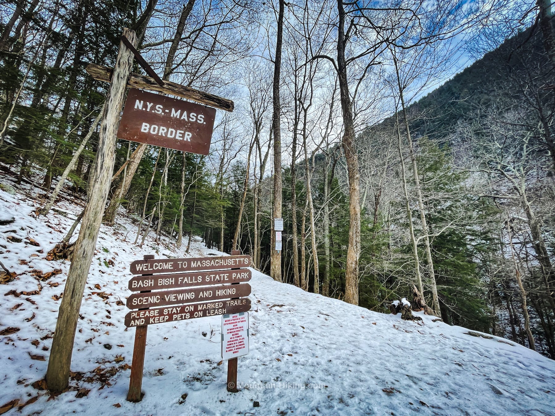
Right on the border of extreme western Massachusetts and New York, this ¾ mile hike from the parking area to the falls is very easy and very pleasant. (There’s even a sign welcoming you to Massachusetts right on the trail!)
The trail to Bash Bish Falls is dog-friendly — but please clean up after your dog, and do not leave poop bags unattended to pick up “on the way out”.
This hike is so short and easy and delightful, it can be combined with several other hikes and routes that begin from the same parking area. For example: the steep but wonderful hike to Alander and Brace mountains, and the less strenuous mountain hike to Sunset Rock.
Bash Bish Falls Closures
It’s difficult to overstate how popular this destination is, especially in summer. Sometimes, the falls have been closed, or partially cordoned off. If you’re not sure, check ahead to get the current status. You can always find the latest relevant information at mass.gov/locations/bash-bish-falls-state-park, including maps and phone numbers.
BTW, you might also enjoy…
- ADK › Whiteface Mountain via Marble Mountain
- DANGER › 6 Feet Under? How Our Adirondack Hike Turned Deadly Serious (Substack)
- ADK › Hurricane Mountain Fire Tower
- CATSKILLS › Catskills Fire Tower Challenge 2025
- Follow › My Instagram @TotalCatskills
- Follow › My writing for Times Union
Bash Bish Trailhead & Parking
From Copake Falls, follow Route 344 into the hollow, passing the Iron Works Museum on the right, and then pull into the large parking area, also on the right.
For this hike, simply look for the information boards on the eastern side of the lot, and begin your hike down to the Bash Bish Falls viewing area.
A second lot can be found on the east side of the falls, further along Route 344 and above the falls area. The trail down to the viewing platform is even shorter and involves steeper elevation gain and loss.
Bash Bish Falls Hiking Trail
Many people have died at Bash Bish Falls over the years, but on another trail that’s on the very sketchy side of Bash Bish Falls.
This route is not at all dangerous. It follows a wide, even trail down past Bash Bish Brook, and then up to the viewing platform which has railings. (Whether or not you head down the steep staircase to visit the base of the falls is up to you.)
On this day, with some ice on the ground, I was glad I had my spikes for traction. In winter, it’s always wise to have some extra traction. It just takes all the worry about slipping and falling away.
Head down past the information kiosks and signs, and enjoy a long walk alongside Bash Bish Brook. There are even some benches to sit on.
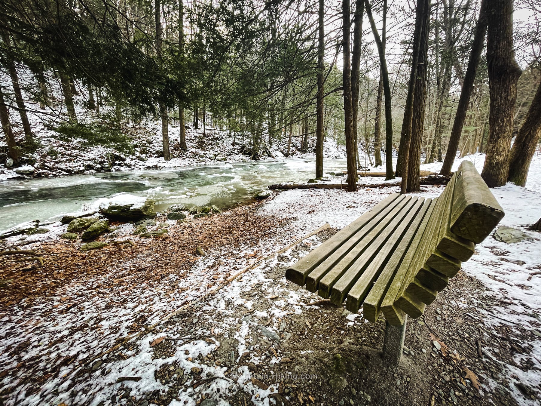
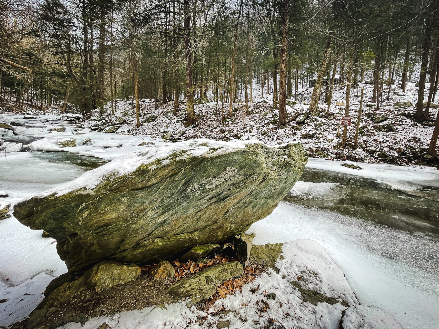
And plenty of interesting trailside attractions on the way…
When you get to the border of NY/MA, you’re almost at the falls…
Notice how steep the clove has become on both sides.
Bash Bish Falls
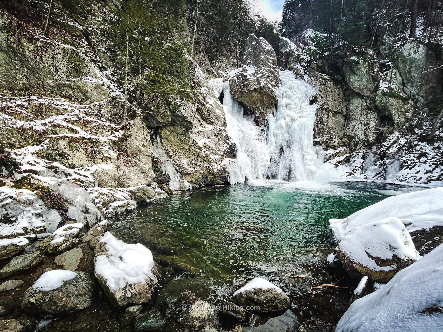
The viewing area opens out onto an amazing scene. From the top of the staircase, you can look down on the falls in complete safety. The waterfall sits at the mouth of a gorge formed during the last ice age.
Bash Bish Falls Video
When the falls are frozen up in winter, they’re quite amazing…
Bash Bish Falls Photos
On this day in mid-January, the falls were nicely iced-up…
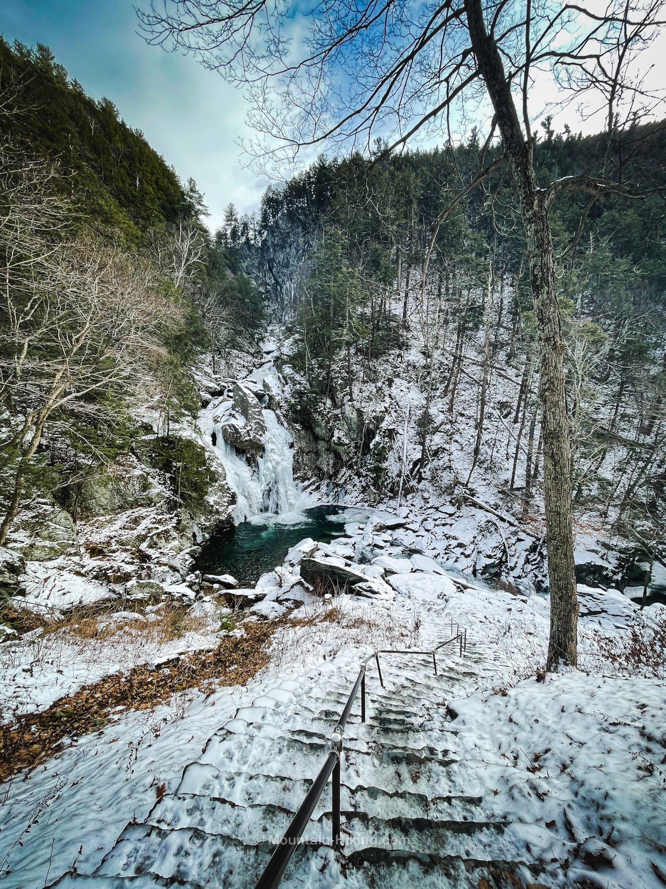
You can head down some or all of the staircase, as this man did…
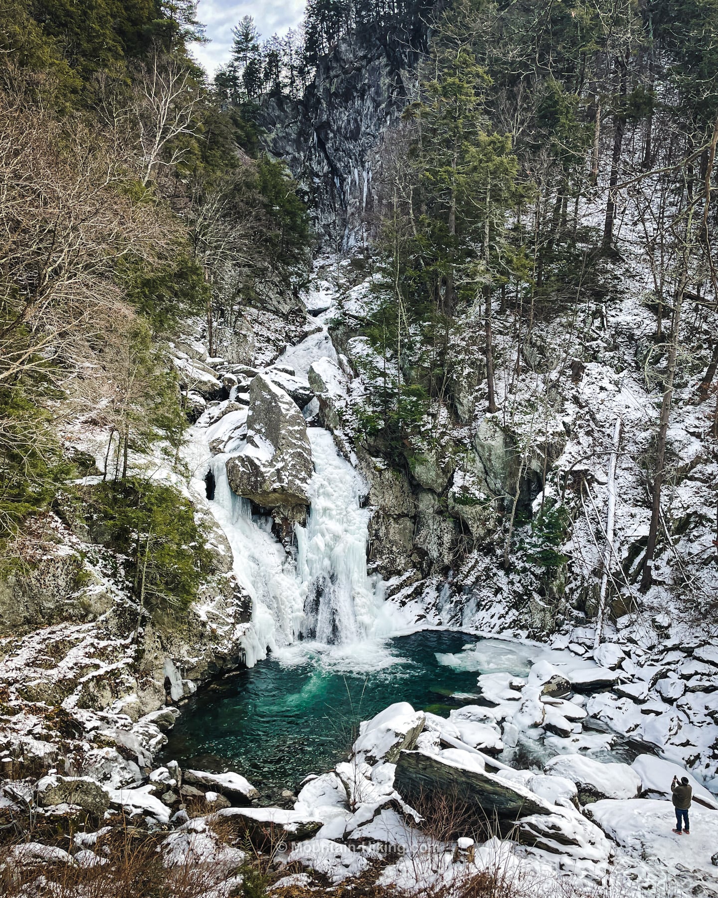
With not much snow on the ground, my spikes kept my footing secure even on the icy steps.
When deeper snow hits, I might reassess my commitment.
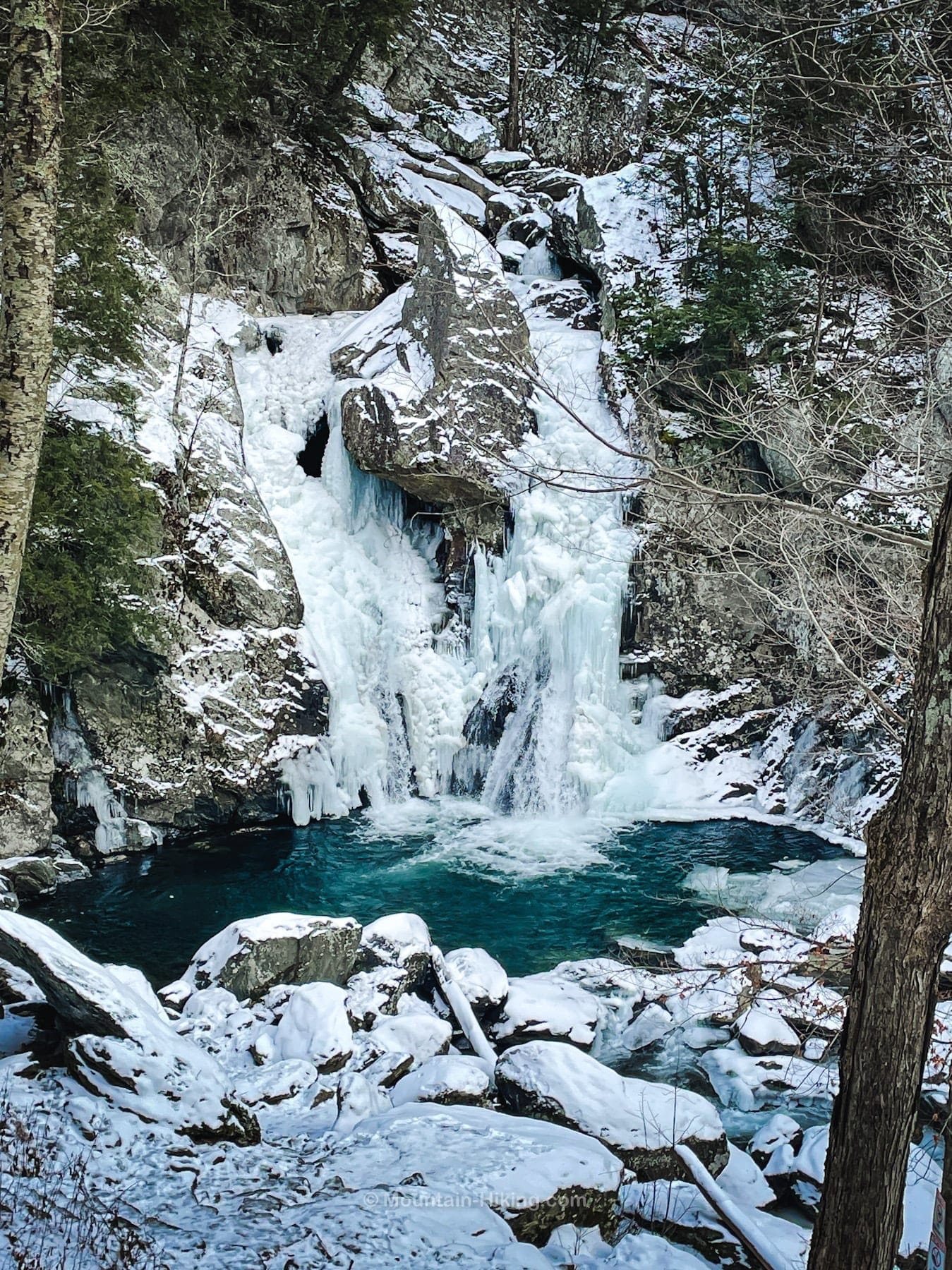
The view from the bottom of the staircase is excellent too.
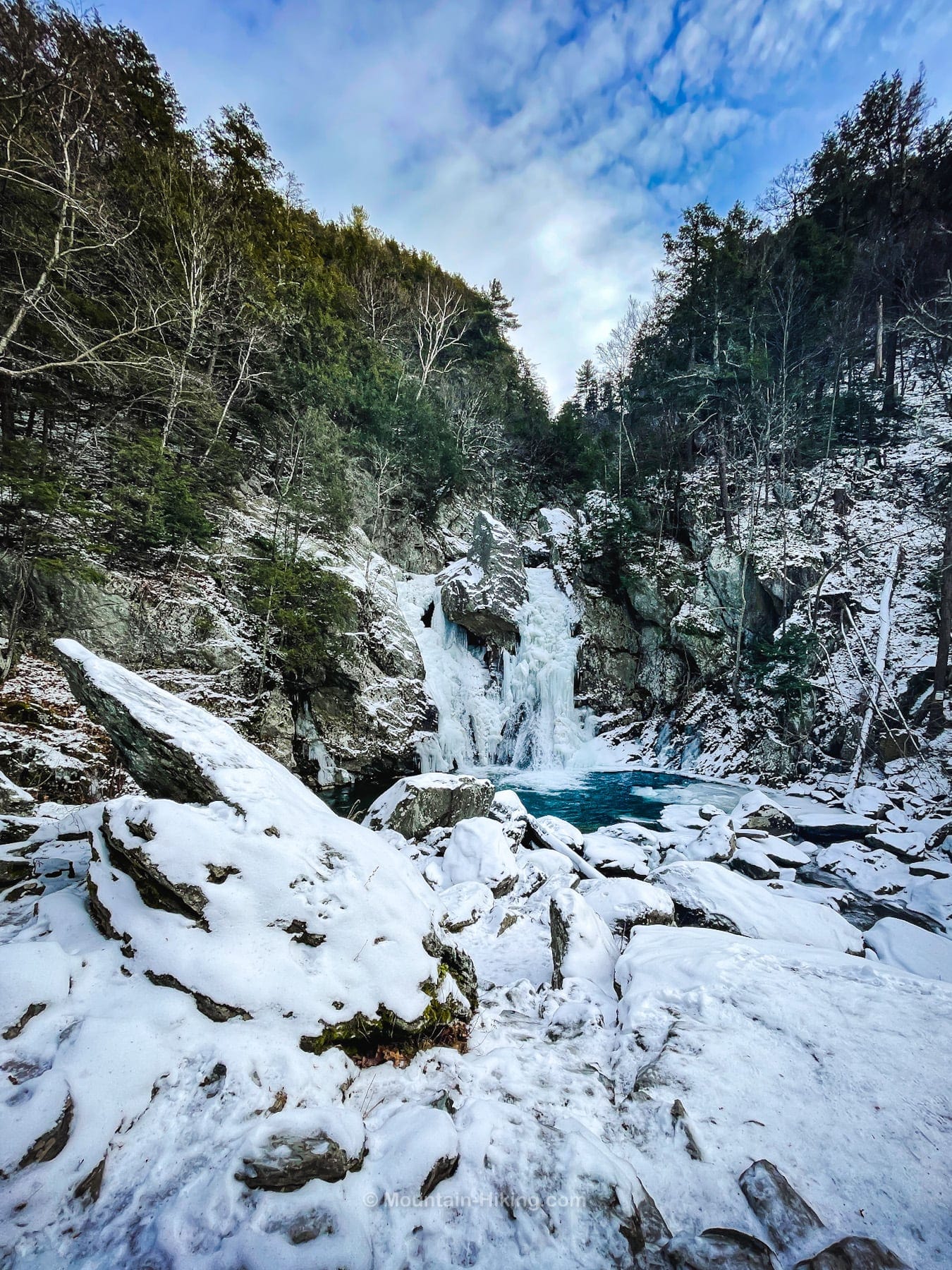
From the above position, I found a way around to the left where, in summer, one might step right into the water…
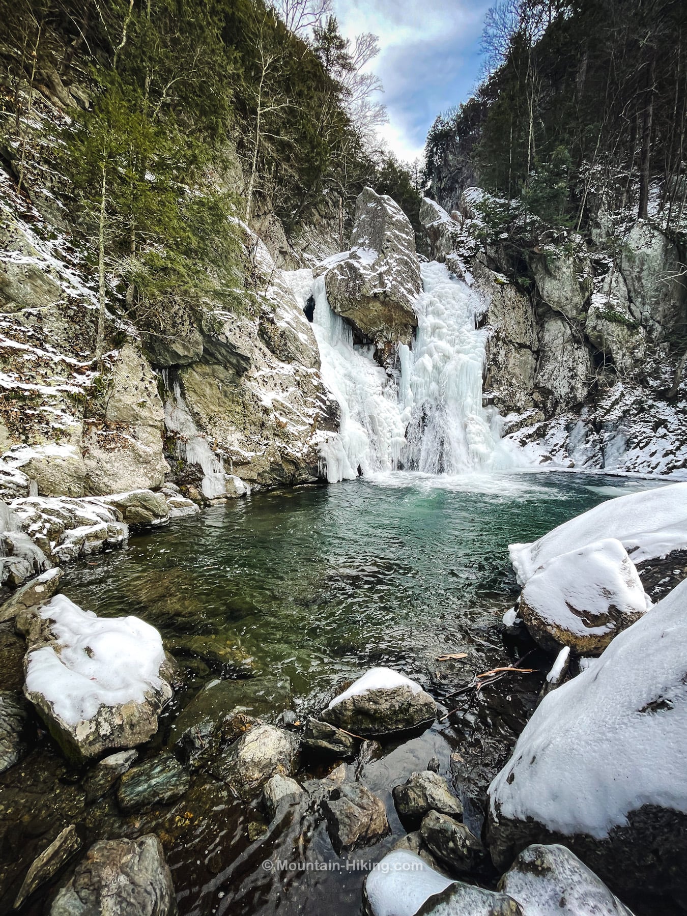
Ascending the staircase back to the upper viewing area is the most work you’ll do on this hike.
From there, the ¾ mile walk back to your car takes just 20 minutes or so.
Similar Hikes
A very similar easy, rewarding, Taconic waterfall hike is High Falls Conservation Area.
This hike is so short and easy it qualifies as a nature trail — an easier-than-a-hike walk through exceptional natural terrain. See this list of nature trails for similar adventures elsewhere.
Being so short and easy, this is a kid-friendly hike — though small children will need to be watched near the water’s edge, and on the steep staircase.
Close by is a very pretty moderate hike to Sunset Rock. The same trailhead also serves Alander Mountain.
You can also scan this list of the most scenic hikes for a variety of skill levels.
This is definitely one of the most popular hikes in this part of the world.
Get full access…
Get instant access to the full version of this site and enjoy great supporter benefits: full galleries, full trail notes, early access to the latest content, and more.
Hot on the website right now…
Follow for more…
Follow my @TotalCatskills content on Instagram for regular hiking inspo and safe, inclusive community.
Bash Bish Falls Trailhead
Large but very popular lot in warm months
Google Maps Location: 42.117570, -73.508346
The map below shows the exact topographic location of the trailhead
Cell Service
Good service throughout. My network is Verizon. YMMV.
2 responses to “Bash Bish Falls”
Your comments are welcome here…
The parent mountain for this hike is Bash Bish.

What a great short and sweet hike! It’s been a long time since we’ve been there, reading your write-up made us want to go back.
I went there on your recommendation! So glad I did.