Disclosure: This content may contain affiliate links. Read my disclosure policy.
And up-and-down out-and-back.
Trailhead info at bottom of this post.
Hiking Trail Description
This alternate route to Diamond Notch Falls from Diamond Notch Road in the south, is moderately challenging with stream crossings and some rugged terrain.
This trail begins in Lanesville, a small hamlet in the northern Catskills in Greene County, New York. Nestled between rolling hills and picturesque forests, Lanesville is known for its natural beauty and tranquil atmosphere. With a population of just a few hundred people, the hamlet offers a peaceful retreat from the hustle and bustle of city life.
Despite its small size — the population is just over 2700 — Lanesville has a rich history that dates back to the 19th century. The hamlet was originally settled by Irish immigrants who worked in the nearby quarries, and many of the historic buildings in the area reflect this heritage.
Plan on 2½-3 hours to get the most from this extremely enjoyable hike.
- You might also enjoy this alternate (and easier) route to Diamond Notch Falls via Spruceton
This trail guide is free to all readers thanks to my subscribers. Get full access to this website instantly and enjoy great supporter benefits!
BTW, you might also enjoy…
- UPDATED › Best Bug Spray & Bug Repellent for Hikers
- CATSKILLS › Peakbagging The Catskills High Peaks (Ultimate Guide)
- STAY › Find Your Perfect Catskills Stay
- ADIRONDACKS › Wright, Algonquin & Iroquois Peaks
- LEARN › Teach Yourself How to Use a Compass
- ENTERTAINMENT › Best & Worst Hiking Movies
- Follow › My Instagram @TotalCatskills
- Follow › My Substack @TotalCatskills
- Follow › My writing for Times Union
Diamond Notch Road Hiking Trail
The hiking trail to Diamond Notch Falls via Diamond Notch Road includes…
- Historical ruins
- Mountian stream
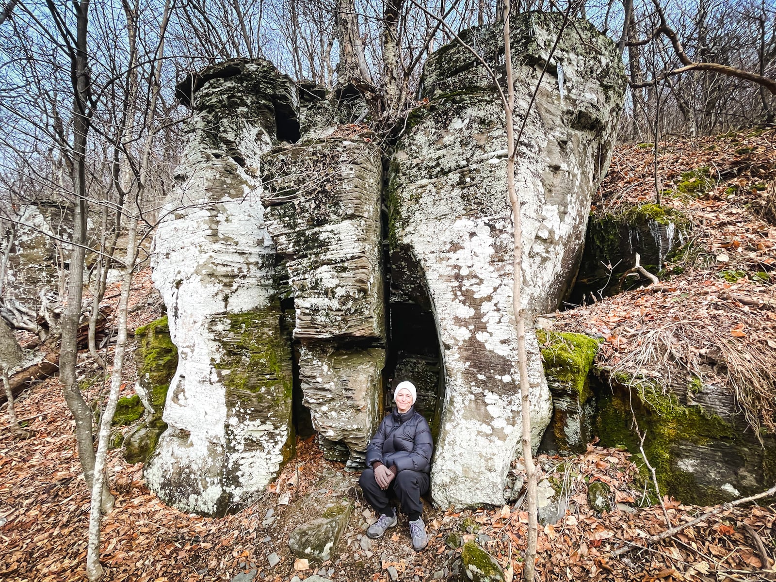
- Great geological features
- Steep mountain pass
- One great scenic view
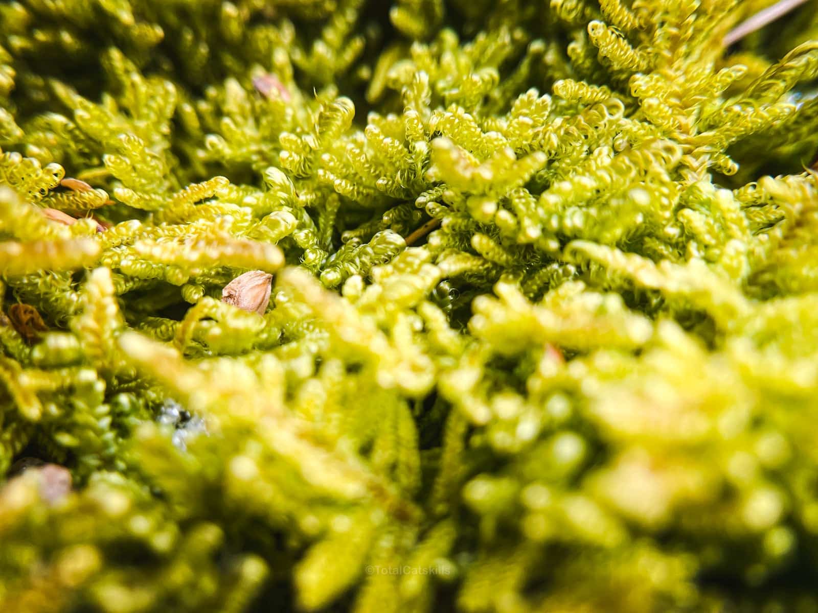
- Moss!
- Footbridges
- A lean-to shelter
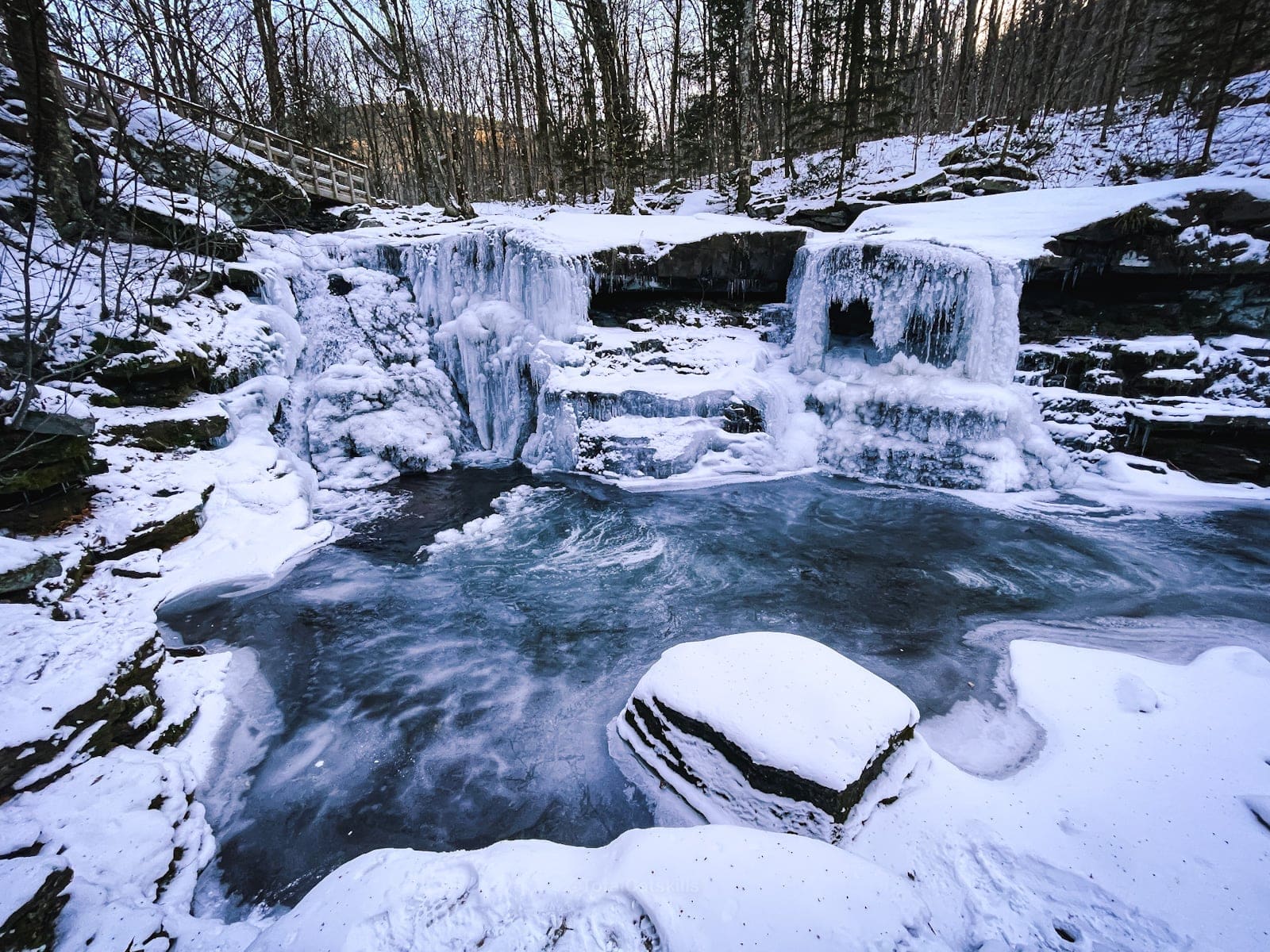
- A stunning double-waterfall
Diamond Notch Road Trail Notes & Gallery
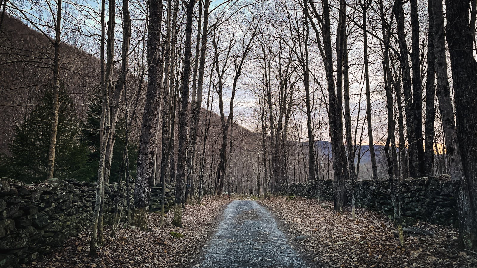
Diamond Notch Road approaches the trailhead for this hike from the south, along a narrow dirt road that’s lined with fantastic old stone fences.
Follow the blue blazes north to cross the footbridge…
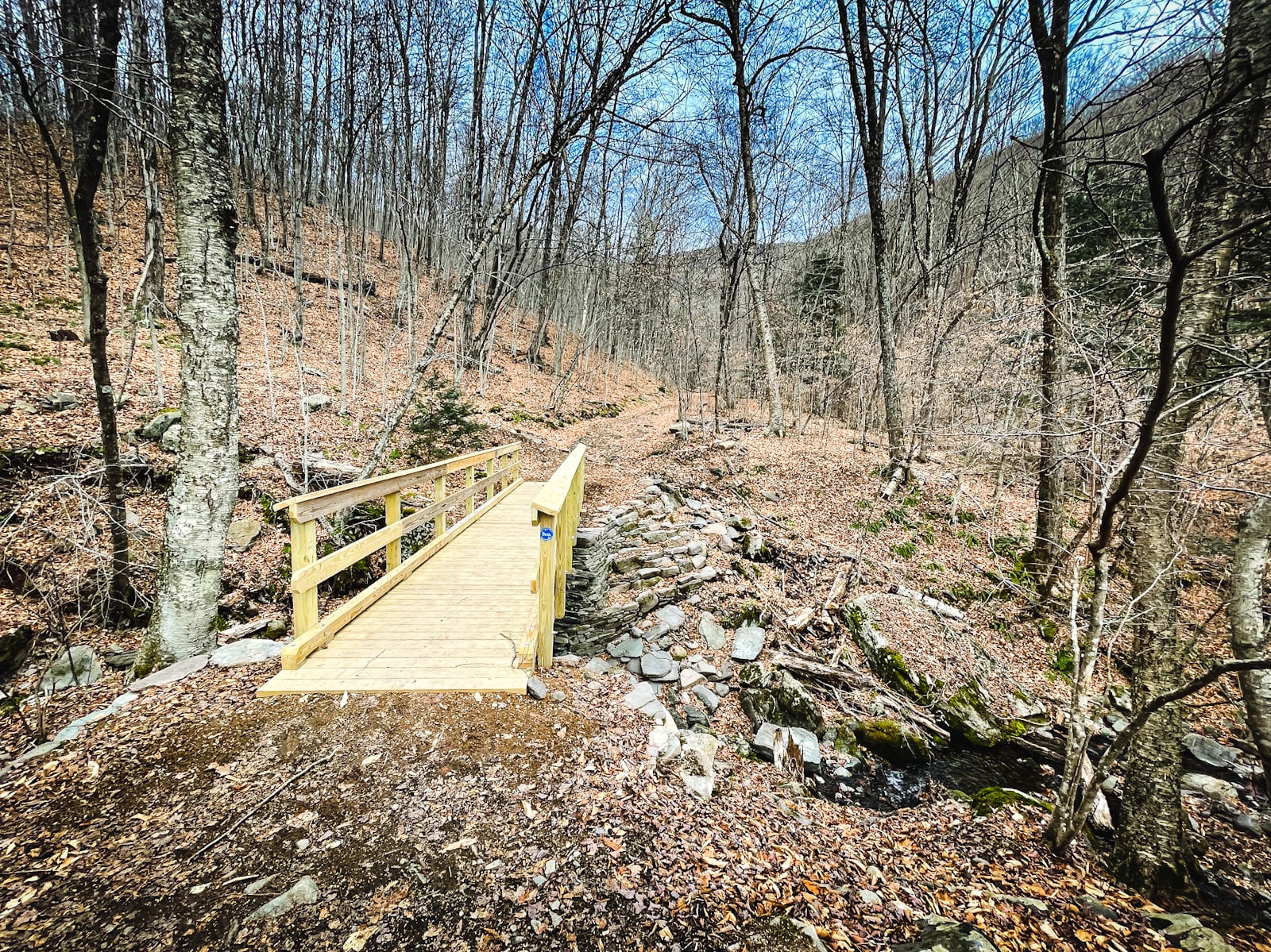
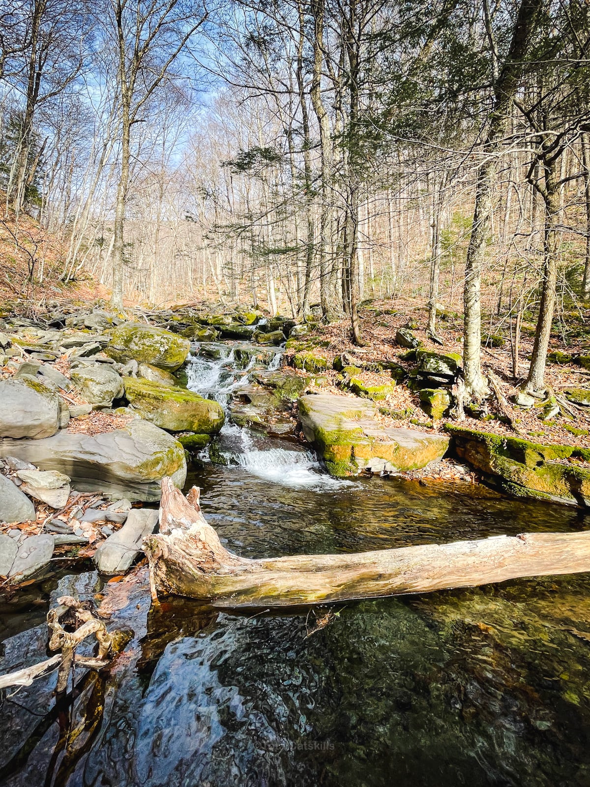
The trail tracks alongside Hollow Tree Brook which is fed by the notch between West Kill (on your left) and Southwest Hunter (on your right).
The trail is flat at first but quickly begins to climb into…
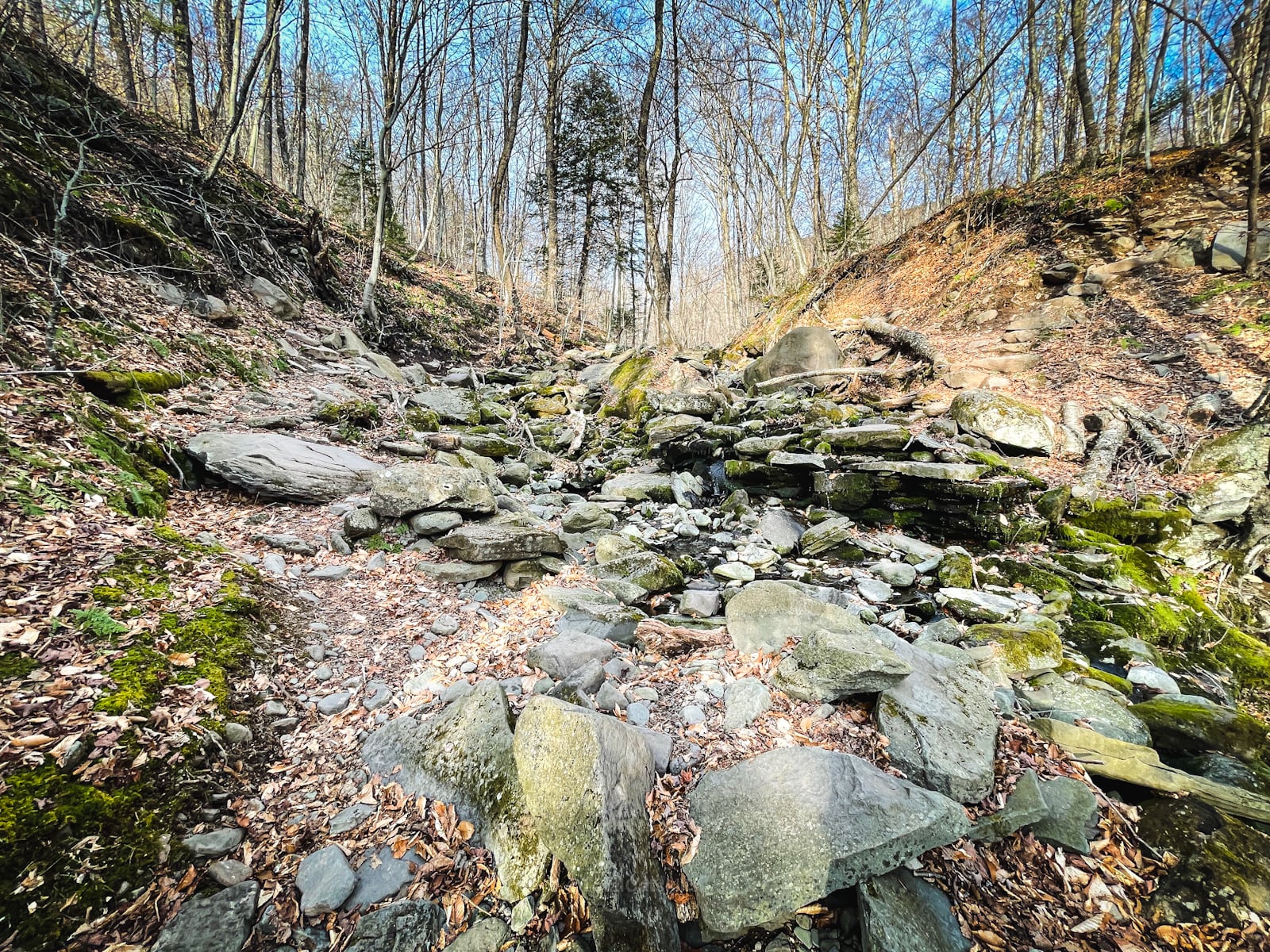
Diamond Notch Hollow
The trail is mostly quite easy to follow, but some sections do require care and attention…
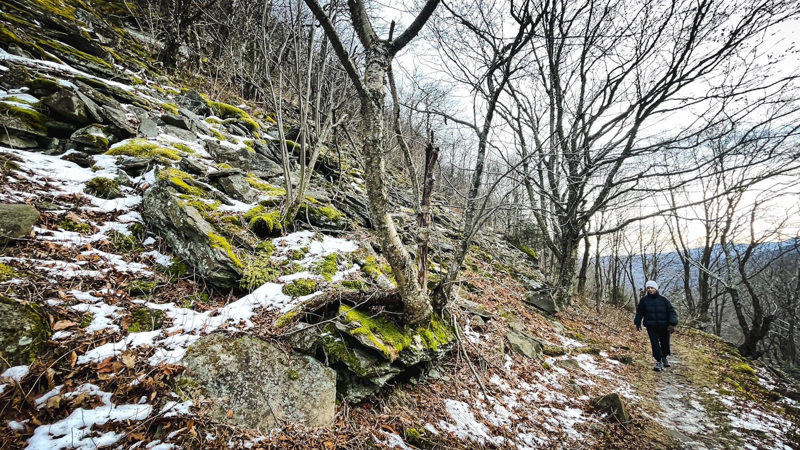
Don’t forget to look down. Lots of beautiful moss up here…
Diamond Notch Scenic View
At 2670’, just below the top of Diamond Notch, you’ll come to an obvious boulder.
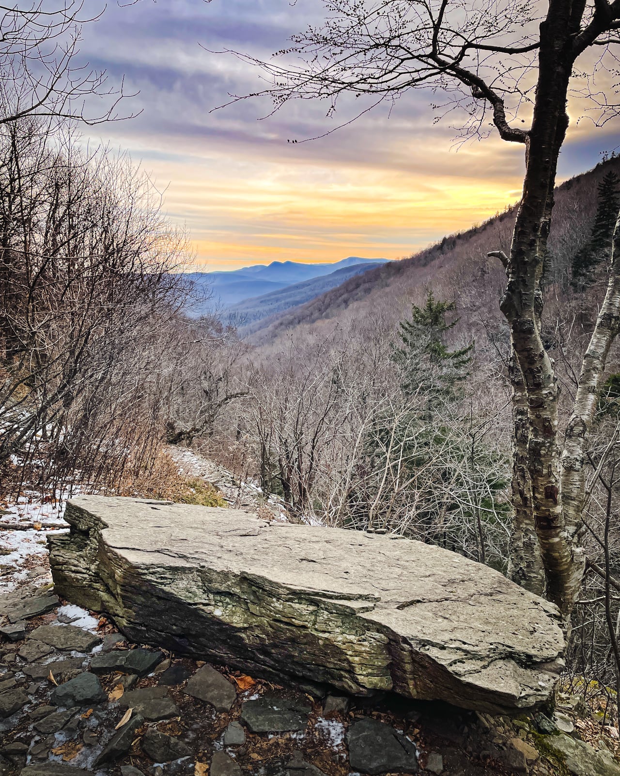
From this spot, there’s a terrific view of the Burroughs Range: Wittenberg, Cornell, the col, and Slide Mountain.
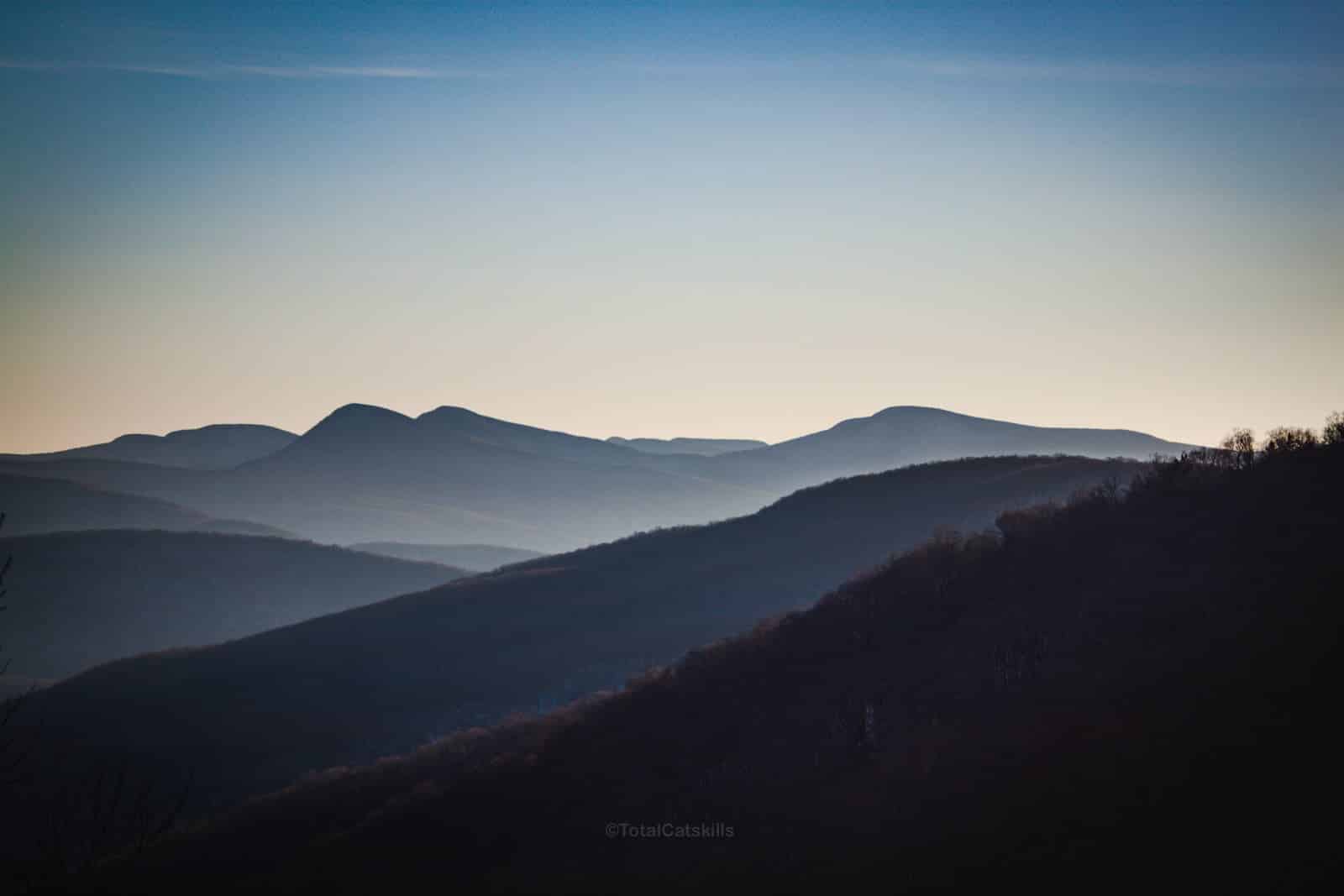
Behind the Burroughs Range, you can see Table and Peekamoose mountains.
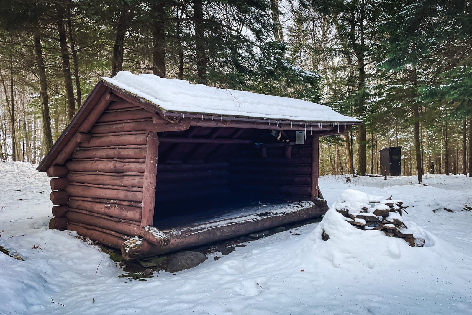
Diamond Notch Lean-To
Pass over the top of the narrowest point of the notch — where you may be able to straddle the very edges of both Southwest Hunter and West Kill mountains — and, on your way down the far side, look for the Diamond Notch lean-to on your right.
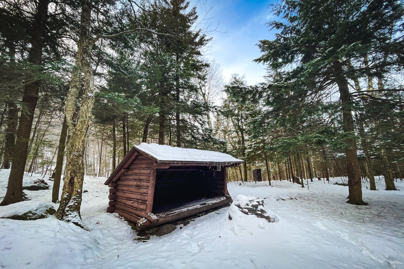
It’s beautifully situated. There’s also a privy.
From here, head back to the trail and continue downhill less than half-a-mile to…
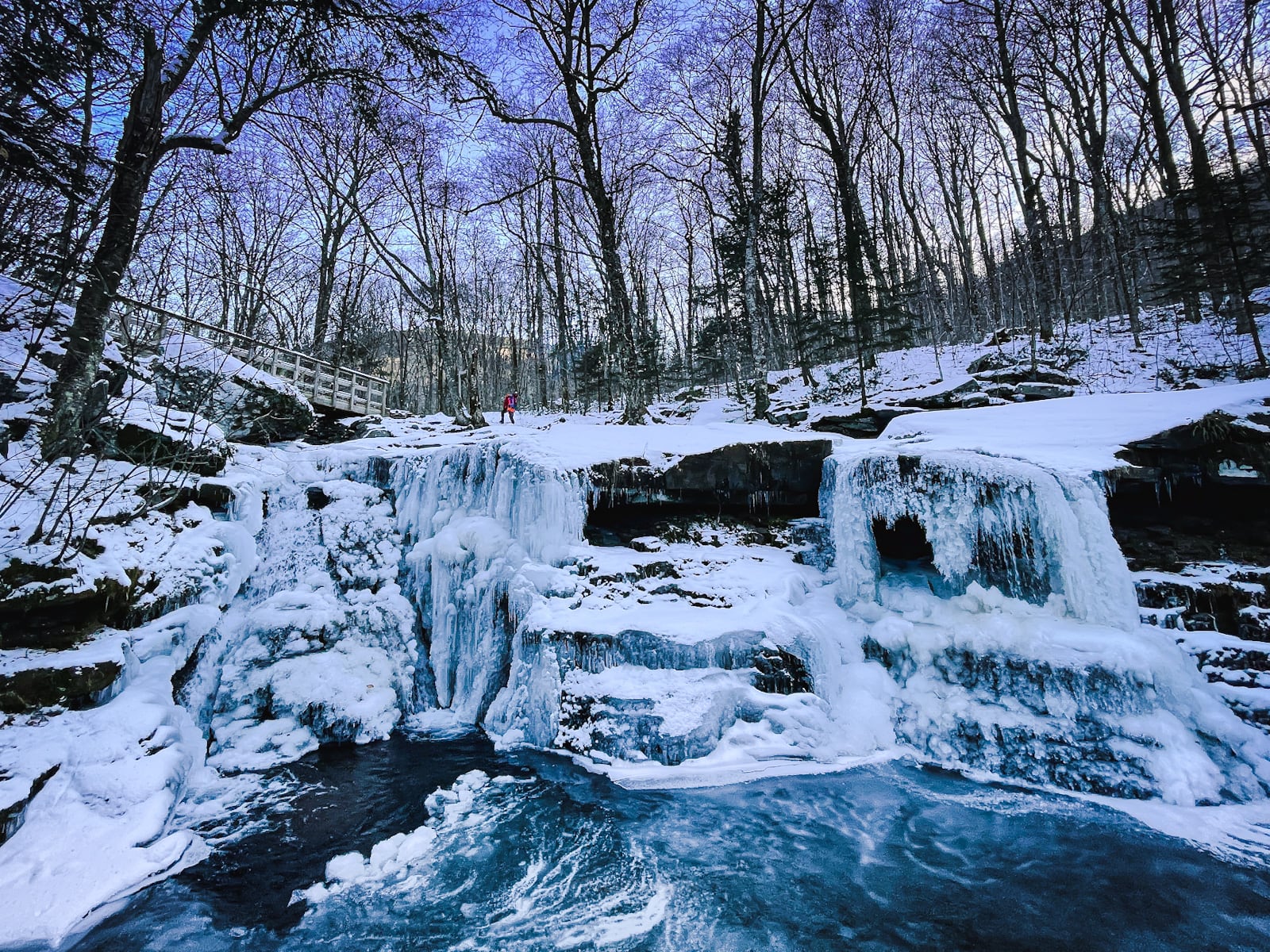
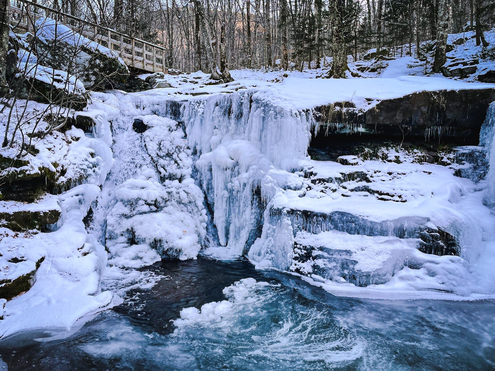
Diamond Notch Falls
Beautiful in summer and winter…
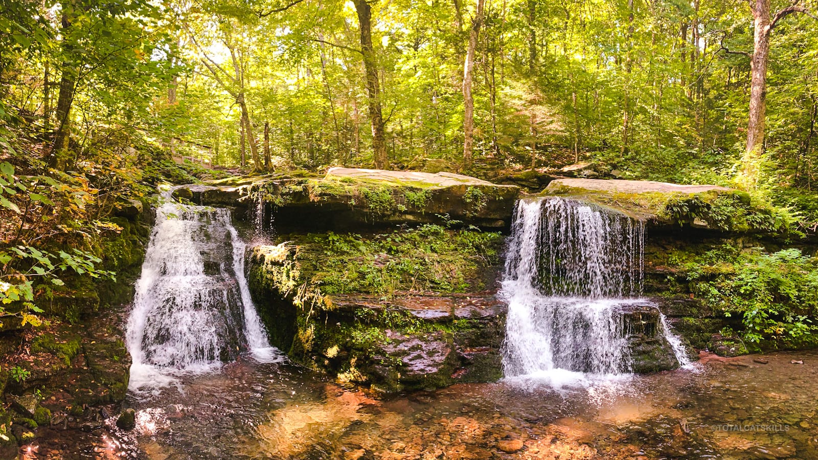
Spot the hiker…
From here, it’s roughly 2.0 miles back to your car in Lanesville.
Similar Hikes
Check the alternate route to Diamond Notch via Spruceton.
If you love waterfalls, you’ll love this list of waterfall hikes.
Read More
Get full access…
Get instant access to the full version of this site and enjoy great supporter benefits: full galleries, full trail notes, early access to the latest content, and more.
Hot on the website right now…
Follow for more…
Follow my @TotalCatskills content on Instagram for regular hiking inspo and safe, inclusive community.

Diamond Notch Falls via Diamond Notch Road Trailhead
Small lot at the end of a narrow dirt road.
Google Maps Location: 42.145324, -74.263583
The map below shows the exact topographic location of the trailhead
Cell Service
You may get some cell service near the top of the notch on the south side. Count on having no signal down low on either side of the notch. My network is Verizon. YMMV.
The parent mountain for this hike is West Kill.
