Disclosure: This content may contain affiliate links. Read my disclosure policy.
A direct route from Seager to Balsam Lake, requires a short car shuttle.
Trailhead info at bottom of this post.
Hiking Trail Description
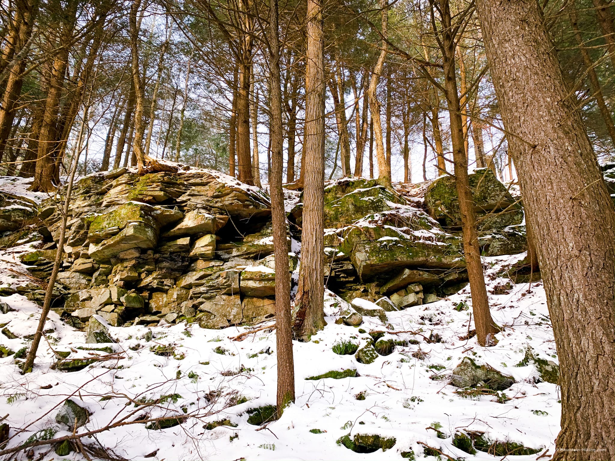
This hike had it all: stream crossings, herd paths, bear prints, a canister, a memorably steep descent, a true bushwhack, a rugged ascent, an ice grotto, some old ruins and, to top it all off, a fire tower with amazing sunset views.
Our group of four met at the DEC lot on Mill Brook Road and quickly shuttled down to the Seager/Dry Brook lot. It’s a ten minute drive.
That short shuttle is really the cherry on top that makes this hike so great. The track is ten miles over tough and steep terrain, but then, at the end of it all, the car shuttle is super short. Absolutely ace.
Doubletop to Graham
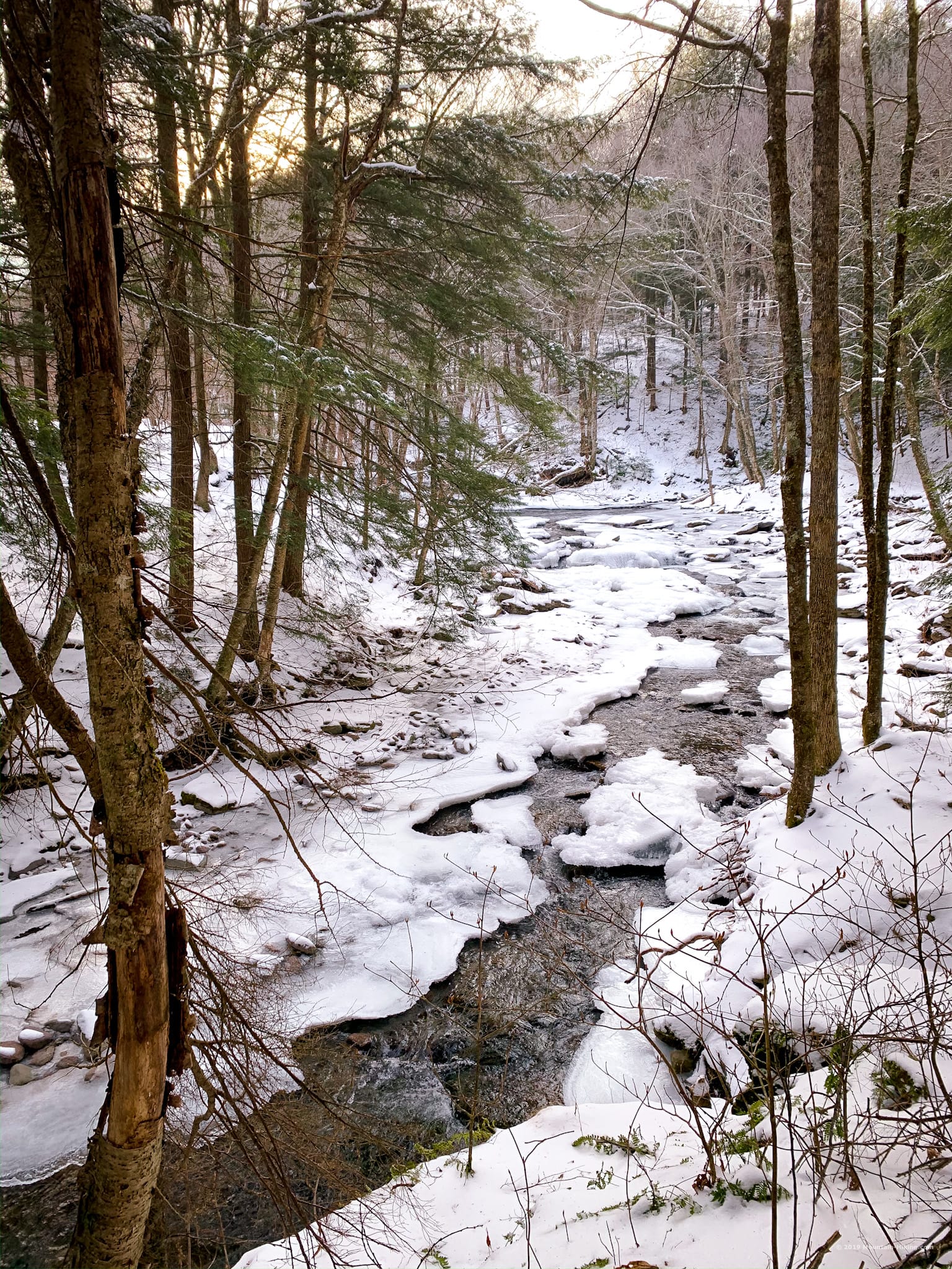
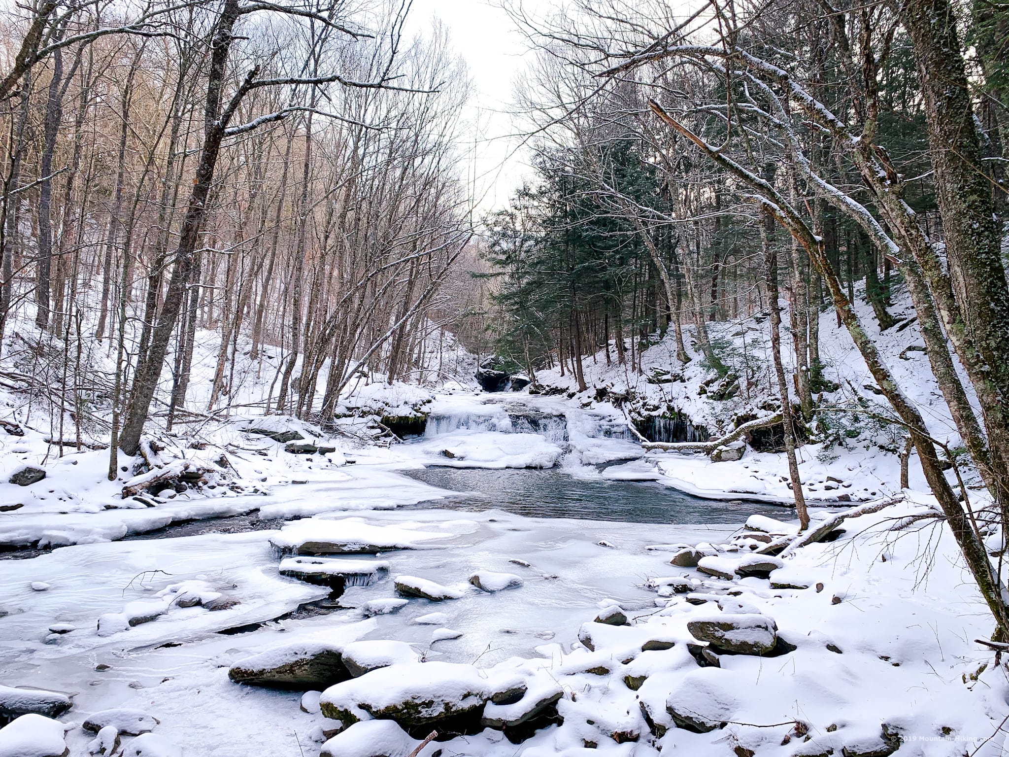
We spent nine hours hiking from Seager back to Mill Brook Road. For the most part, we followed the classic route up Doubletop from Seager. The trail along Dry Brook is one of my favorite trail sections in the Catskills. It feels absolutely idyllic.
Dry Brook looked extra beautiful in the morning light. Both stream crossings were made extra fun by hardened ice.
Closed! Graham & Doubletop mountains are no longer accessible to the public. Both mountains are on private land. Trespassers will be prosecuted. The information presented here is for historical puproses only.
Not long after we left the trail to head up Doubletop, we came across a set of fresh bear prints…
 You’ve got the basic details, but there’s so much more…
Unlock this site now to get complete intel on every route, including my full photo galleries, personal insights and tips. Elevate your next hike with deep trail beta. Experience hundreds of amazing routes at their absolute finest. With Mountain-Hiking.com, you’re not just skimming the surface.
Sean

Similar Hikes
Multi-peak hikes are the best, especially in winter when the days are so short and the conditions so harsh. Other great multi-peak hikes are Sugarloaf & Twin and Blackhead & Black Dome.
Read More
Get full access…
Get instant access to the full version of this site and enjoy great supporter benefits: full galleries, full trail notes, early access to the latest content, and more.
Hot on the website right now…
Follow for more…
Follow my @TotalCatskills content on Instagram for regular hiking inspo and safe, inclusive community.

Thru-Hike Doubletop, Graham & Balsam Lake Trailhead
Two trail head addresses. Seager/Dry Brook is smaller of the two and where you start the hike. The hike ends at Millbrook Road. It’s a 10 minute ride between the two.
Google Maps Location: 42.058176, -74.539708
The map below shows the exact topographic location of the trailhead
Cell Service
Patchy on Doubletop. Service is okay from high on Graham. Pretty regular connection from Balsam Lake and the Dry Brook Trail. My network is Verizon. YMMV.
The parent mountain for this hike is Doubletop.