
Disclosure: This content may contain affiliate links. Read my disclosure policy.
A medium-length out-and-back complicated by tricky stream crossings.
Trailhead info at bottom of this post.
Hiking Trail Description
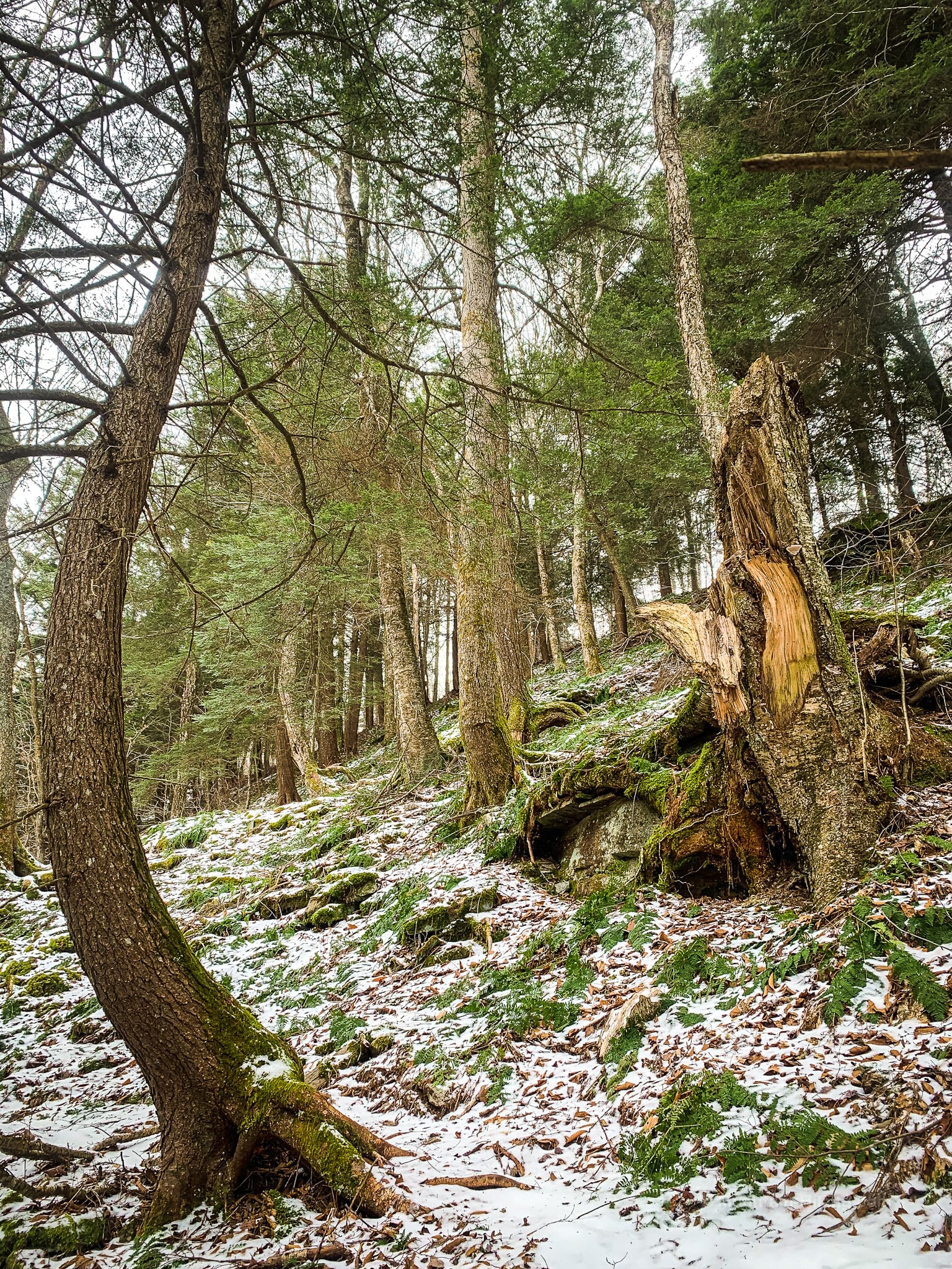
IMO, this is the most beautiful route to Eagle Mountain and Big Indian. Any opportunity I get to hike along Dry Brook, I take — in a heartbeat. It’s one of the most beautiful trail miles in the Catskills. It’s also fun af because the terrain is ever-changing, and it’s always just a little challenging.
Before this hike, I’d never hiked much past the wooden bear that marked the start of the old bushwhack route up Doubletop. I‘d always wanted to see what was beyond that bear.
(The bear was still there when I passed in late December 2020. In January 2021, Doubletop was closed permanently to public hiking.)
I love the first mile of the Seager Big Indian trail so much.
The following two miles do not disappoint.
This is a very beautiful and remote way to summit Eagle — and Big Indian, too, if you have time for both peaks.
Trailhead Parking
The parking area in Seager is medium-sized. I expect, with the loss of Doubletop to the hiking community, it will now be a lot quieter than it has been to date.
Turn your back to the very creepy ramshackle raised ranch and head toward… the still slightly creepy weathered old trail sign that marks the start of the Seager Big Indian Trail.
Hiking Trail
After a short distance, you’ll come to the trail register (please sign it) and an iron gate. Follow the yellow blazes.
Step around the gate, and enjoy the first beautiful view of Dry Brook.
Difficult vs Moderate
I have marked this route difficult because of its navigational challenges and because there are at least half-a-dozen tricky stream crossings. The terrain itself is “moderate” but care, research, planning, good gear and common sense are needed to successfully tackle the first mile-and-a-half of this route.
Dry Brook
Dry Brook gets its name not because it’s dry, obviously. This dry is an Anglicization of the German word for three: drei. Dry Brook is the third of three brooks that feed into the Delaware River which, itself, feeds into the massive Pepacton Reservoir several miles to the northwest.
The Seager Big Indian trail is mostly very easy to follow but this section, and several like it, tend to be severely washed out. It can be tricky to spot the yellow blazes.
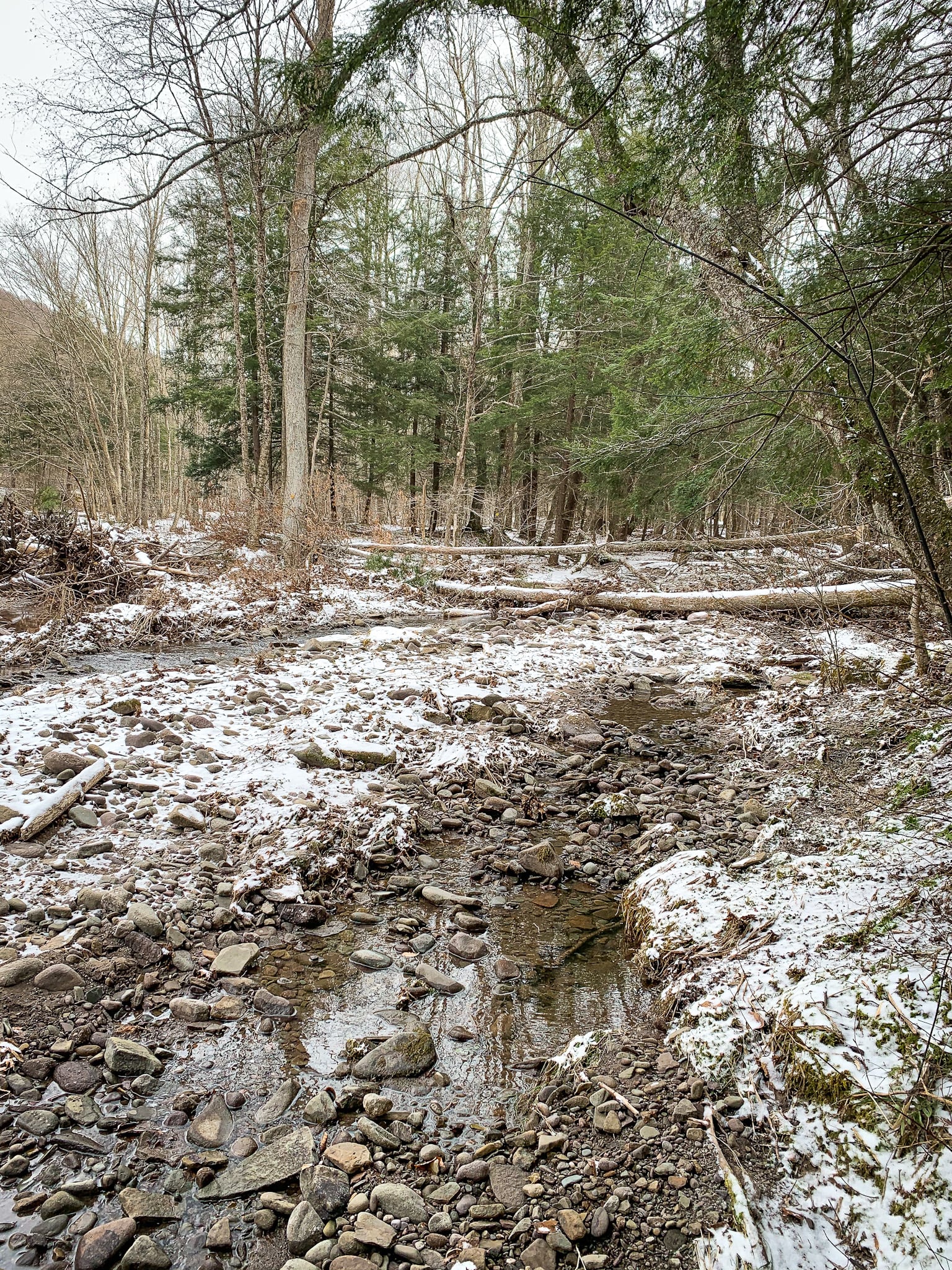
There is lots of decision-making to be made along this section. In times of trouble, a compass with a bearing set to roughly 145° (132° south + 13° declination) will guide you.
Eventually, the trail becomes a proper trail again…
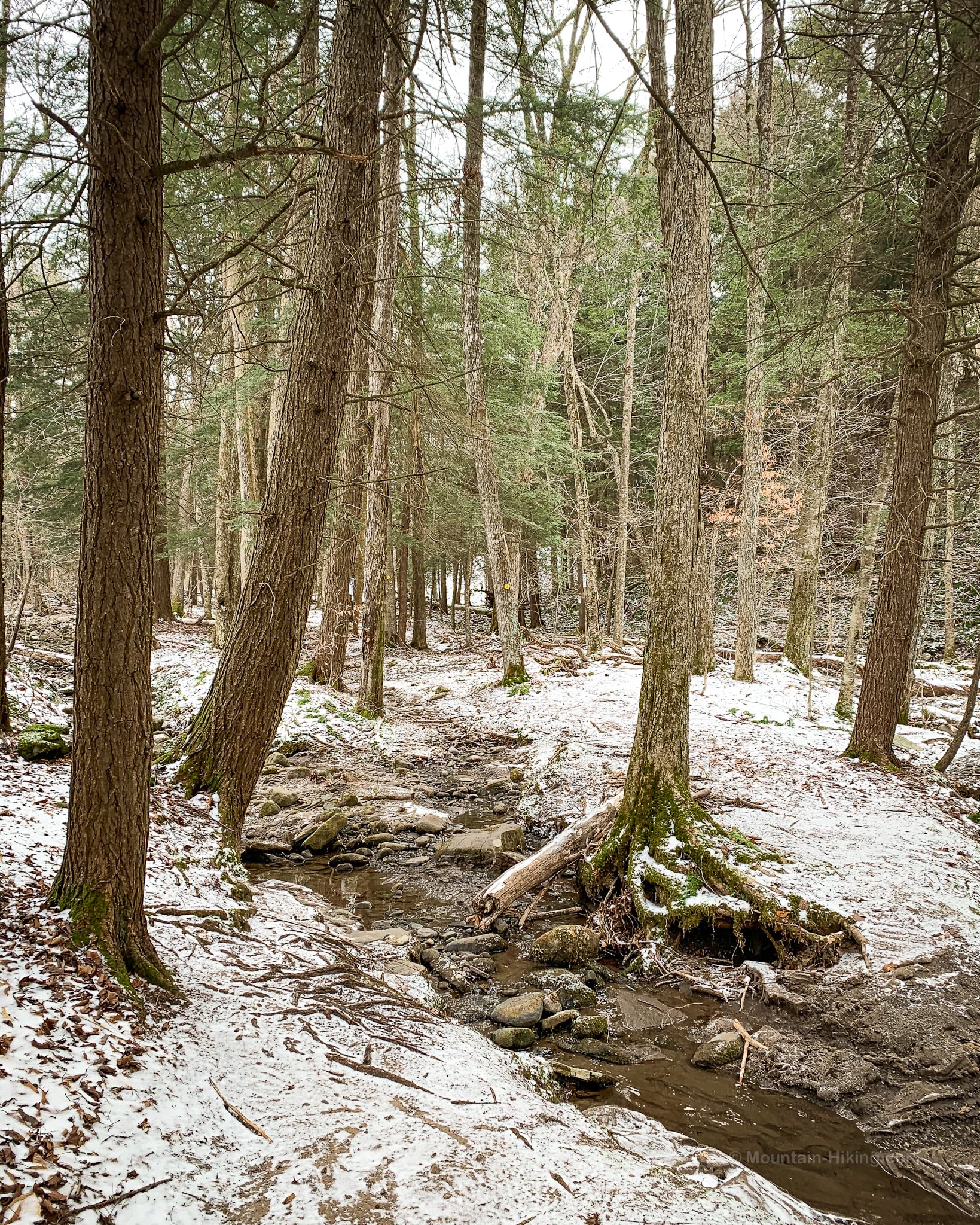
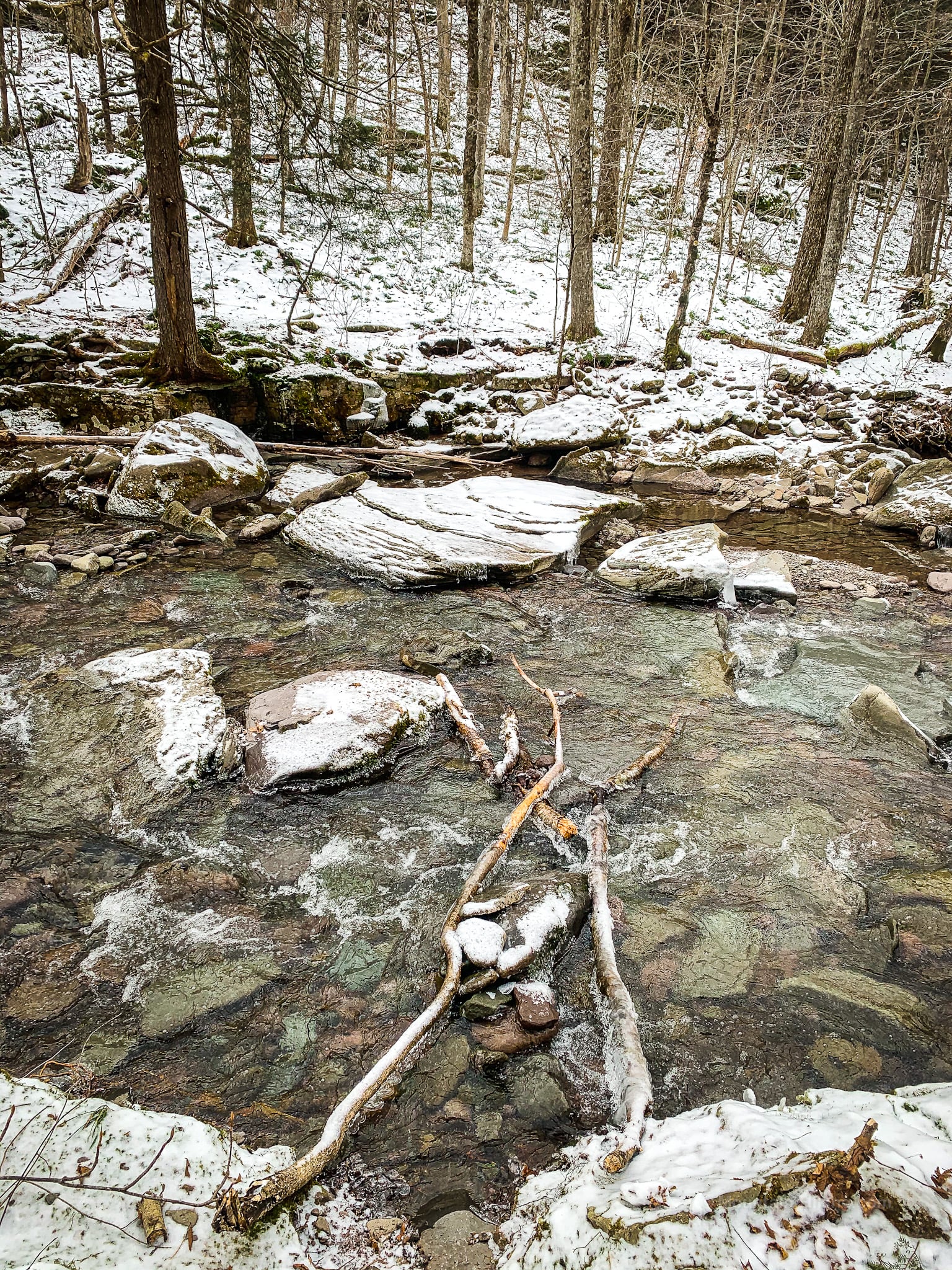
There are two slightly tricky brook crossings. There is often blowdown in both drainages, so you may have to hunt a bit for a safe way to cross the waters. Learn how to enjoy hiking safely.
Animal Sign
However, the area is quiet enough that you’ll always come across some animal sign along the brook’s edges.
I found lots of mustelid prints in the snow…
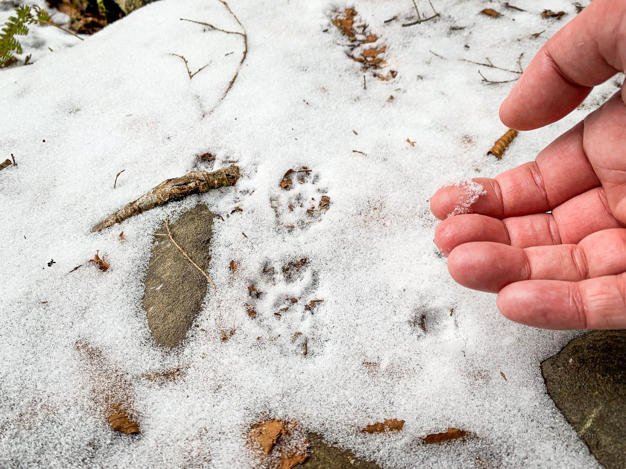
Mustelidae include weasels, badgers, otters, ferrets, martens, minks, and wolverines.
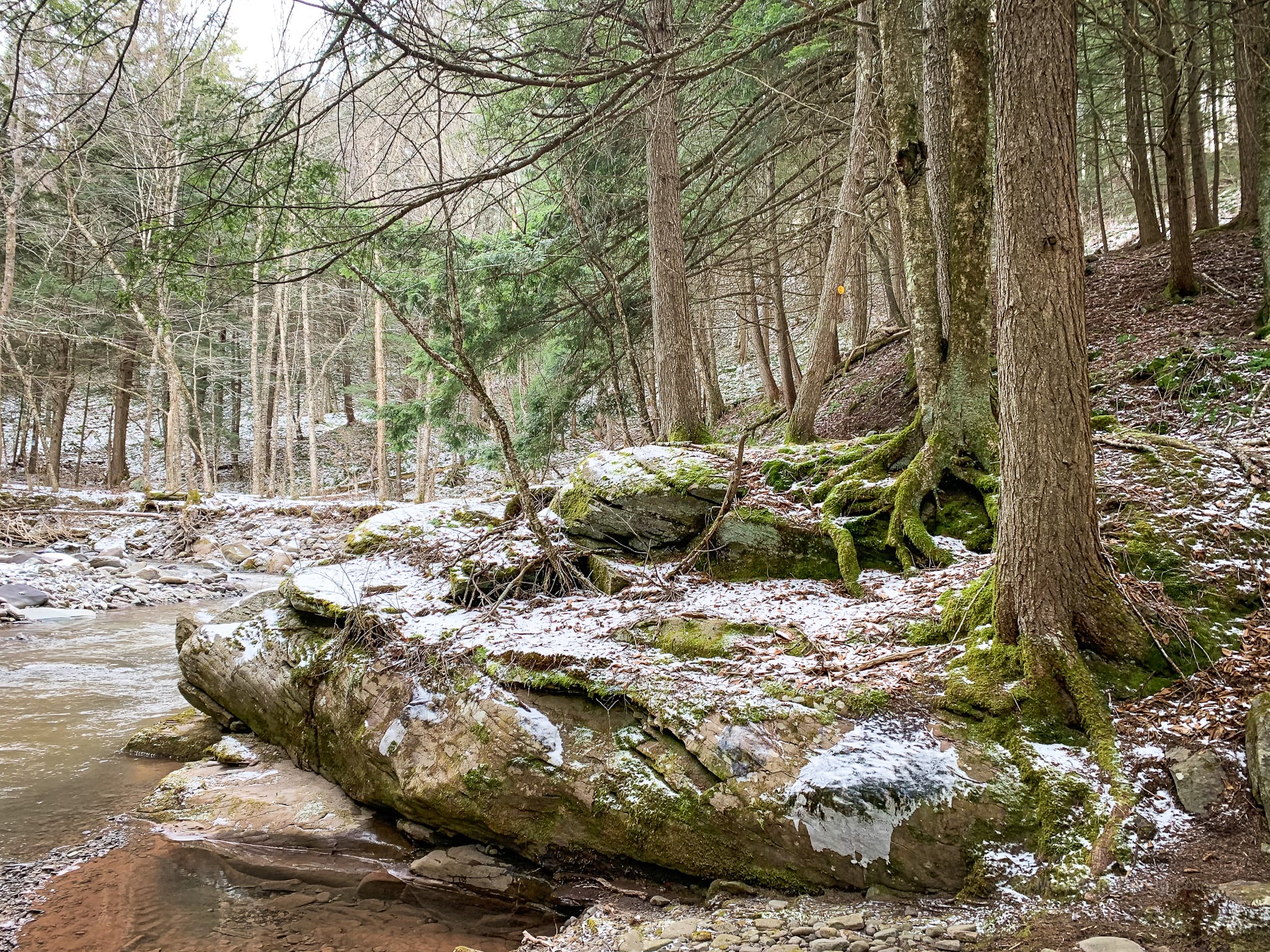
Sections of the trail here have changed over time as the brook eats away at the banks. The trail is a little squirrelly at times. It’s a great location to ponder the power of water.
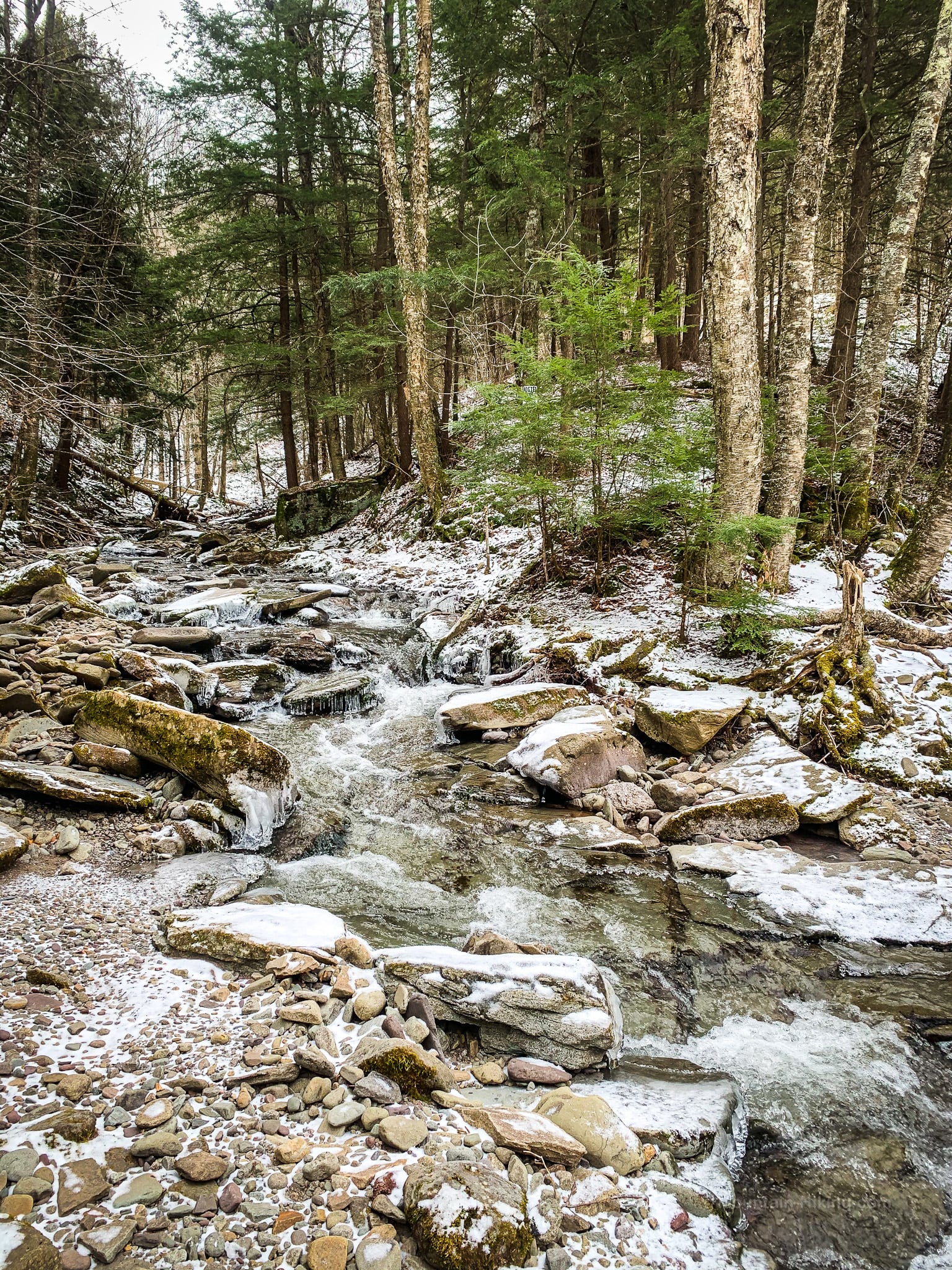
This is the second stream crossing, seen from the far side and looking back up Flatiron Brook which flows down from Graham Mountain.
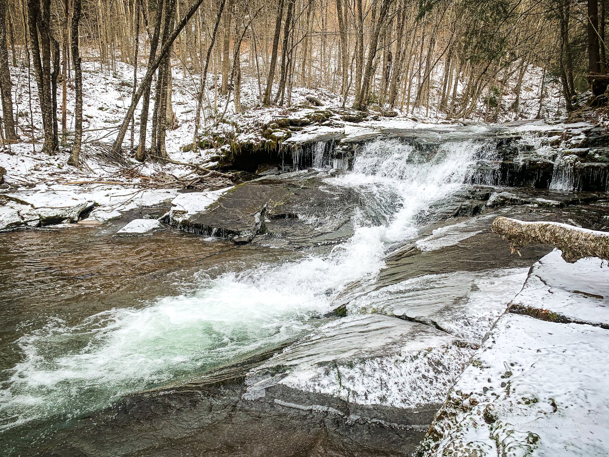
Right after the crossing, you’ll be next to this low, beautiful waterfall on Dry Brook. It’s lovely at any time of year…
This video was shot from right beside the falls…
A short distance after the falls, you may see a small yellow blaze that says “Bear Crossing” and then you’ll come to a junction of sorts. From the left side, an old woods road crosses the trail via a bridge and heads uphill to your right. Stay on the blazed trail. The land all around here is privately owned. Access is granted along the trail. It is trespassing to step off the trail.
Immediately after the junction is the start of the old herd path up to Doubletop.
This next section was the part of the hike I was most looking forward to. And it was so great!
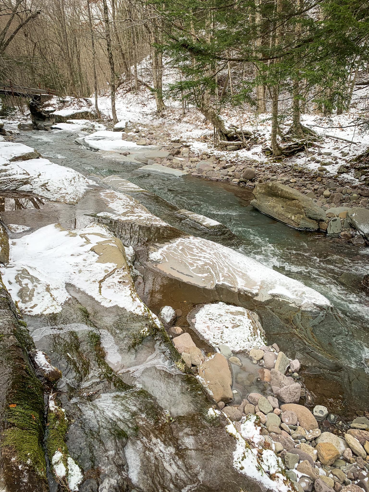
First, on the left, there is a beautiful rock gorge with giant flat boulders in the stream bed.
Then there is a bowed hemlock tree. Hemlocks are always super-straight, so there must be a story here.
Tricky Stream Crossing
This crossing took me several minutes, and several failed attempts, to complete successfully — if you don’t count dunking one foot in the river, which I do not.
First, I tried an obvious-looking set of boulders to rock-hop across, but got stuck mid-stream and had to retreat.
Eventually, I found this spot a little downstream. This photo is taken from the far side, looking back. Those two big branches saved my day.
Crossing Calculations
I very nearly turned around here. You will have to decide for yourself whether you can cross Dry Brook safely. A lot will depend on how deeply the brook is raging.
You can see how iced-up everything is. Microspikes are crucial in icy weather, but I’ve found them to be also extremely handy for stream crossings and dealing with slippery rocks.
On this day, for me, the brook was right on the edge of being passable. I took a chance and it worked out — though I did have to hike with one soggy boot for a while.
Sidebar Discussion: I do carry two 13 gallon garbage bags with me for fording streams like this. On this day, I chose not to use them. I didn’t want to take off my spikes and backpack and futz with two plastic bags. I’m not saying this was a dumb choice. But this may have been a dumb choice. I danced with the Devil of Destiny and got a damp foot. YMMV.
Continue…
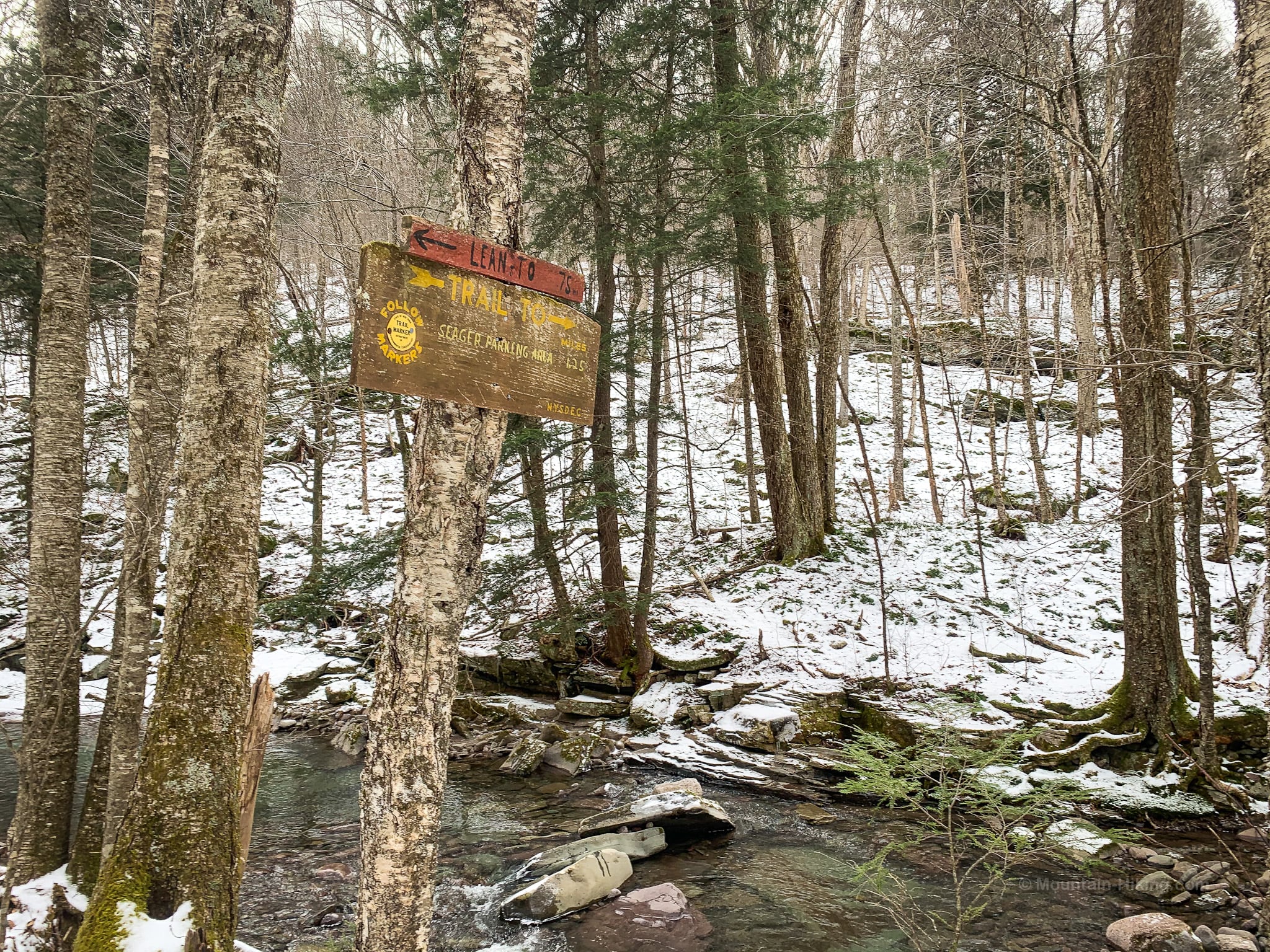
On the far side of Dry Brook, look for this trail sign. You may be tempted to follow the old road that runs along here. Don’t. Instead look uphill perpendicular to the stream, following the LEAN-TO signpost and reconnect with the yellow blazes.
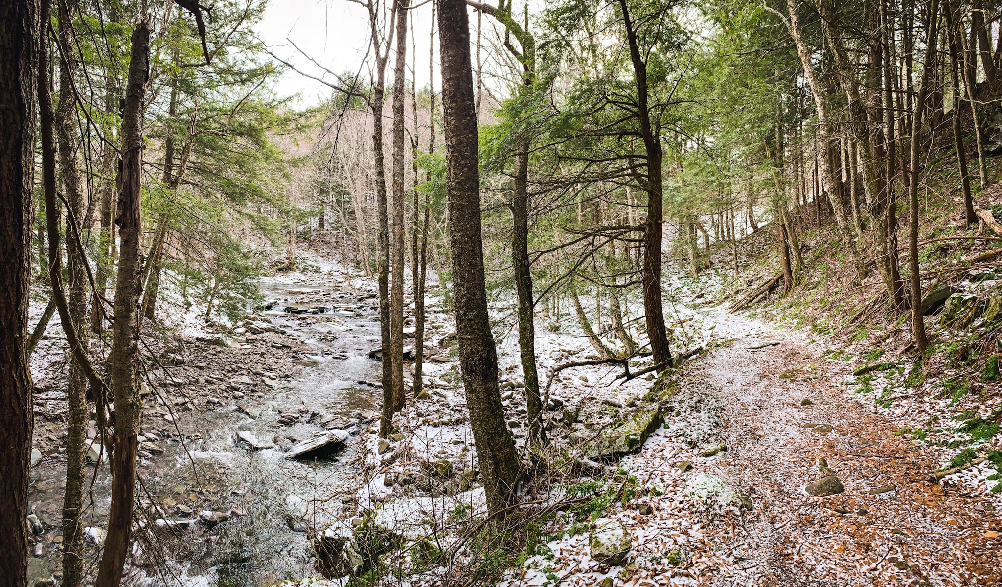
The next two miles feel very quiet and remote. Shandaken Brook hollow is one of those special spots in the Catskills where you really feel very far away from the world.
Hemlock Stand
Very soon after the stream crossing, around 2250’, you’ll pass through a small hemlock stand.
To your right not far from the trail, down in the drainage, you may hear a second gorge…
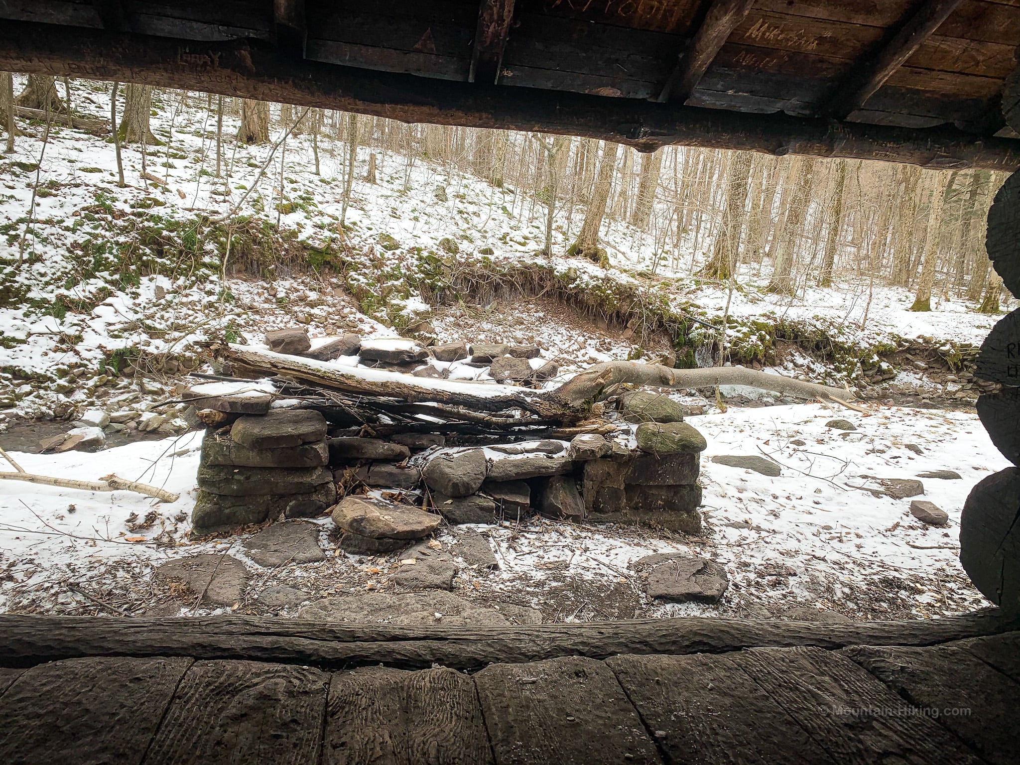
Lean-To
Continue climbing. Just below 2500’, you’ll catch sight of Shandaken Brook Lean-To on the far side of Shandaken Brook.
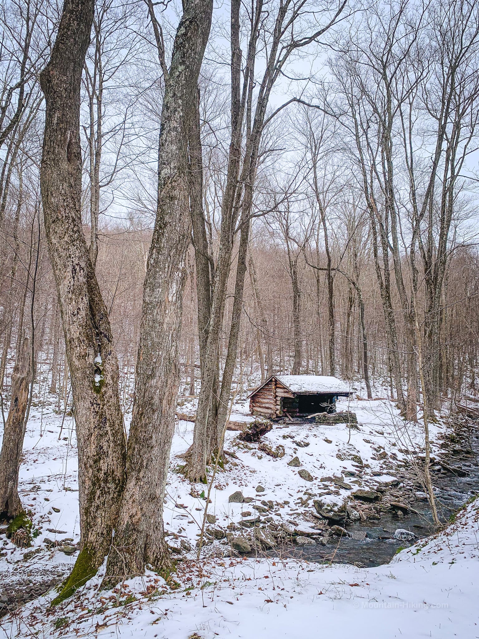
This is the view from inside the lean-to. Notice the black pipe on the far side of the brook — a spring.
On this day, the wind was really howling. The hollow seemed to be funneling it up toward the ridge line.
The trail is not steep until all of a sudden, near the back of the hollow, it becomes very steep and draining — but only for a short section. To your right, Big Indian forms the far side of the hollow. Behind you, you can see Graham Mountain.
Just below the junction in the col between Eagle and Big Indian, the forest changes to a crazy mix of hemlock, beech, birch and maple.
Eagle Mountain / Big Indian Ridge
The trail rolls up and down a little before finally concluding at the junction with the Pine Hill West Branch trail.
Here, you can turn south / right to go to Big Indian. I turned north / left to head toward Eagle, following the blue blazes.
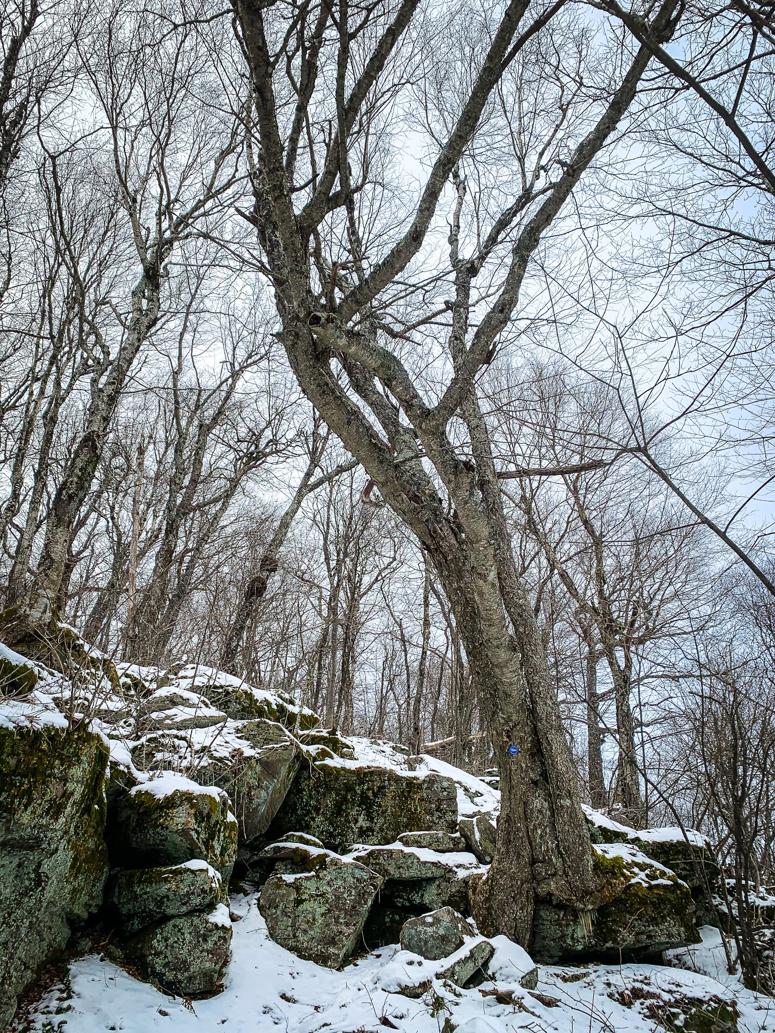
The trail along the ridge is very quiet and lined with gnarly birch trees. It reminded me a lot of Mill Brook Ridge.
As it ascends, this trail becomes increasingly evergreen. There are fir stands and I found some polypody ferns. I turned them over to check their sori…
Whatever way the terrain is configured up on the ridge, the wind died down considerably — though I never stopped hearing the howling in the hollow, even at Eagle’s summit which is a mile away. (You can hear it in the video above.)
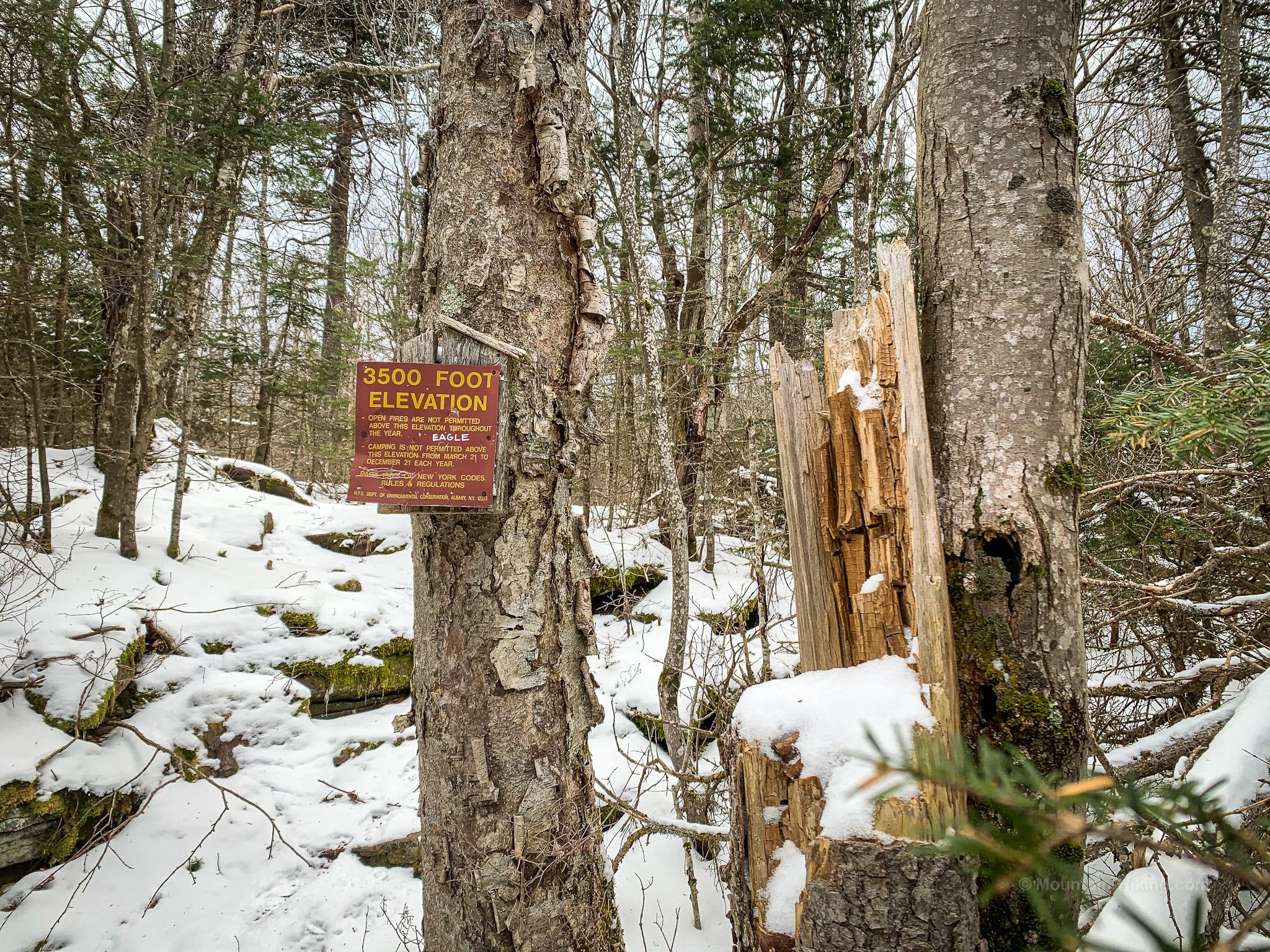
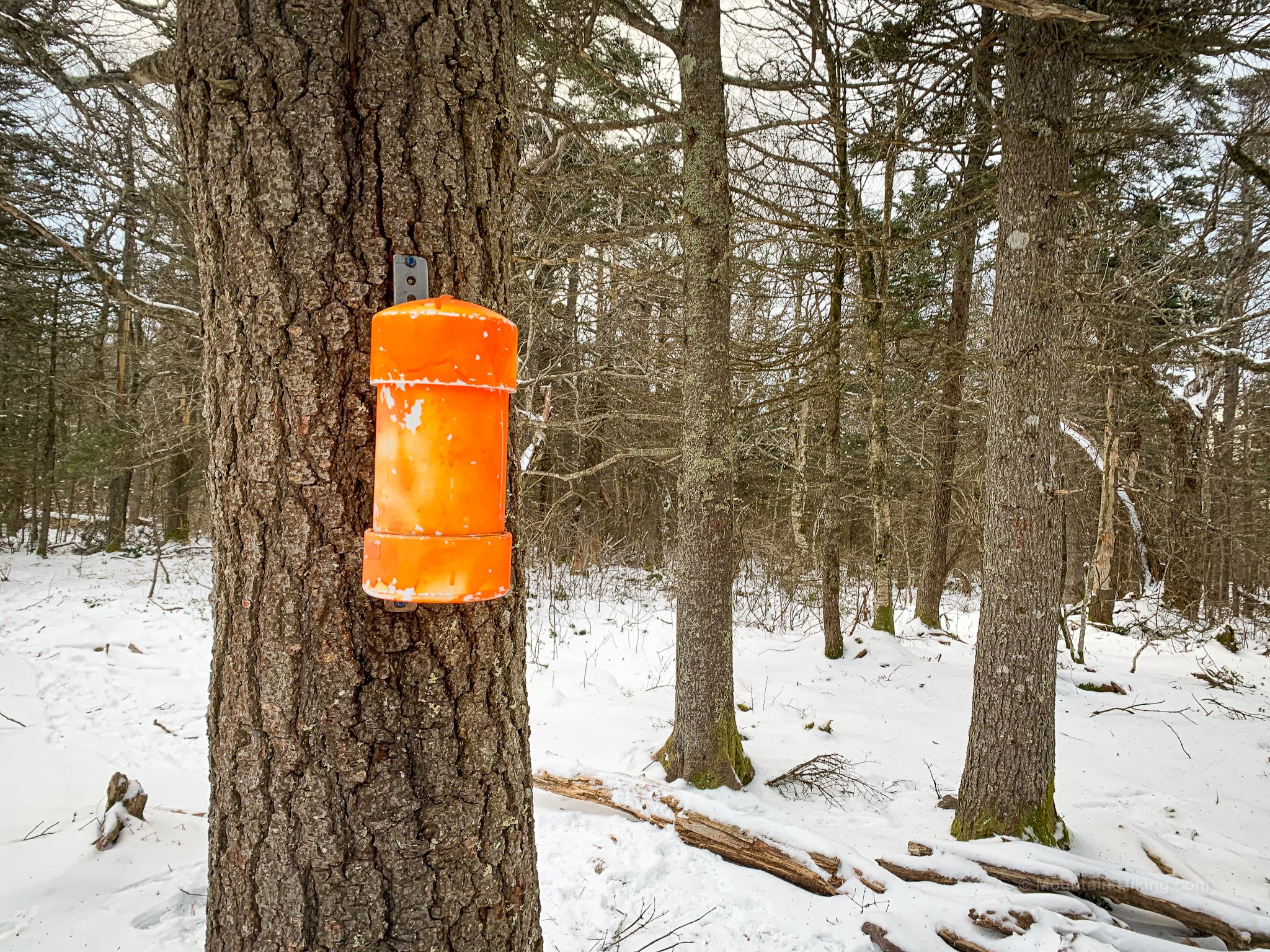
The 3500 Foot Elevation sign is posted very close to 3500’, and is only a short distance from the summit. When you see this sign, you’re almost there…
Eagle Mountain Summit
Keep an eye for the unmarked, but pretty obvious, herd path on the left side of the trail.
It takes less than a minute to walk to the canister clearing…
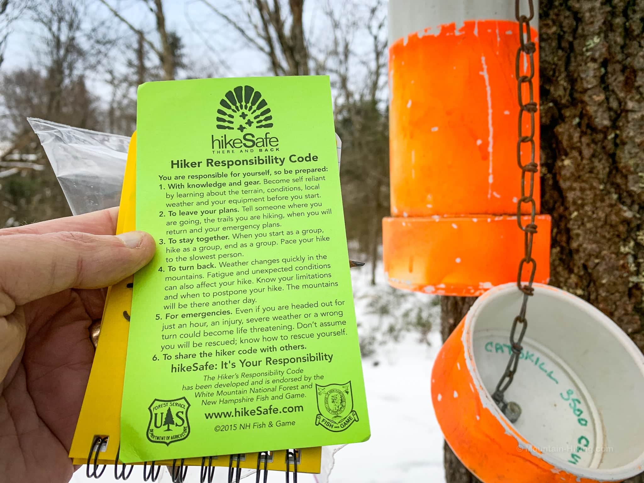
Judging by the log book, I believe I missed Jim Bouton (who maintains the 3500 canisters) by a matter of hours. I may even have followed his tracks for a bit.
I had a bite to eat here and half-explored some tracks I saw in the snow that led further west. I suspect they led to Eagle Mountain’s true summit, which I didn’t realize is quite a distance from the canister — until I got home and looked at my track on GaiaGPS.
Descent from Eagle Mountain
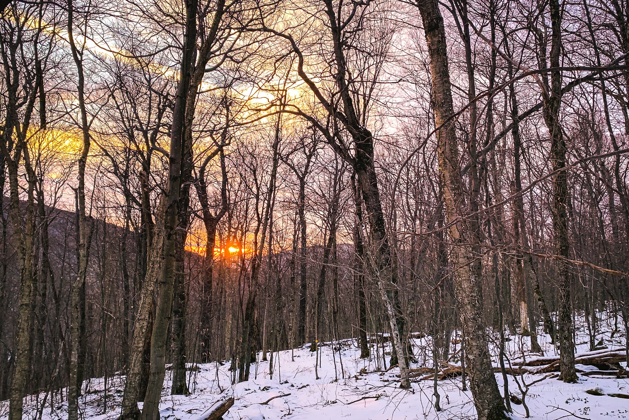
But it was getting late, and I was getting cold, so I bailed back down the mountain.
I walked out toward this sunset over Big Indian and Graham…
This hike utilized my very famous Late Start® Technology, fueled exclusively by magic procrast-o-beans.
I was glad I always pack two headlamps. I needed both. I was able to use natural light until the last mile of the hike out. But that is the hardest mile to navigate. I switched on my main headlamp, and it promptly ran out of power.
Luckily, my cheap back-up headlamp had fresh batteries, so I was able to get moving again after a very quick stop. Always pack two headlamps!
Similar Hikes
The first part of this hike reminded me a lot of the Fisherman’s Path in Denning.
The upper ridge of Eagle reminded me of Mill Brook Ridge.

Eagle Mountain from Seager Trailhead
Small lot. Fills up on busy weekends.
Google Maps Location: 42.058096, -74.539644
The map below shows the exact topographic location of the trailhead
Cell Service
Nothing down low. You’ll have spotty coverage once you get up to the ridge line. My network is Verizon. YMMV.
The parent mountain for this hike is Eagle.
