Disclosure: This content may contain affiliate links. Read my disclosure policy.
A straight-forward out-and-back. A little steep in spots.
Trailhead info at bottom of this post.
Goodnow Mountain Fire Tower is one of the best moderate hikes in the Adirondacks, with a well-maintained trail and spectacular 360° views of the High Peaks from its restored fire tower.
Located near Newcomb in the central Adirondacks, Goodnow Mountain offers a rewarding four-mile round-trip hike with about 1,050 feet of elevation gain. The trail climbs steadily through beautiful woodland, passing several interpretive stations and remnants of the mountain’s logging history before reaching the summit.
The 60-foot fire tower was originally erected in 1922 and underwent a major refurbishment in the summer of 2025. The restoration included new galvanized steel stairs, landings, and a roof, along with fresh paint and repairs to the historic observer’s cabin. The tower reopened in October 2025 and looks almost brand new, despite being more than a century old.
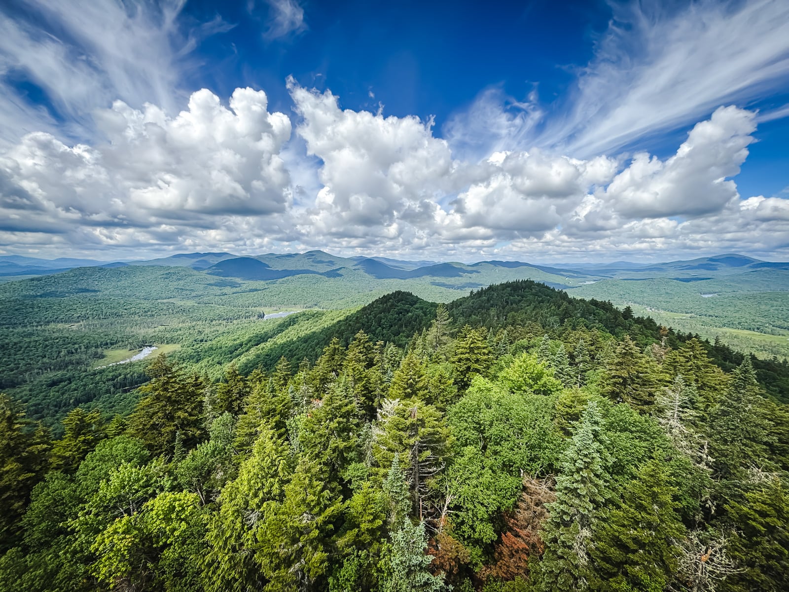
From the tower’s cab, the views are outstanding. The Adirondack High Peaks dominate the northern horizon, with Rich Lake and Lake Harris and its excellent campground visible below. To the south, the landscape opens toward Goodnow Flow and the Essex Chain Lakes.
For such a modest hiking effort, Goodnow Mountain delivers one of the best fire tower panoramas in the Adirondack Park.
Frequently Asked Questions
How long does it take to hike Goodnow Mountain Fire Tower
Allow 2 to 2½ hours for this hike.
What is the elevation gain for Goodnow Mountain Fire Tower Hike
The elevation gain for this route is apx 1,050 feet / 320 meters.
Goodnow Mountain Fire Tower Hike
The Goodnow Mountain Fire Tower hiking trail includes…
- Lush, historic hiking trail
- A fully refurbished fire tower
- Excellent cabin views of the surrounding peaks and lakes
- A short delightful hike that easily fits into a morning or afternoon
A full breakdown is provided below in my hike notes with lots of photos.
BTW, you might also enjoy…
- CATSKILLS › Catskills Fall Foliage 2026
- ADIRONDACKS › Hike Cascade & Porter
- STAY › Find Your Perfect Catskills Stay
- UPDATED › Best Bug Spray & Repellent for Hikers
- LEARN › Camping in the Catskills
- Follow › My Instagram @TotalCatskills
- Follow › My Substack @TotalCatskills
- Follow › My writing for Times Union
Goodnow Mountain Fire Tower Hike Notes & Gallery
I didn’t know about the fire tower refurbishment before I got to the tower but it looks shockingly new, like they just took the bubble-wrap off the whole thing.
The only thing better is the level of wow available from the cabin.
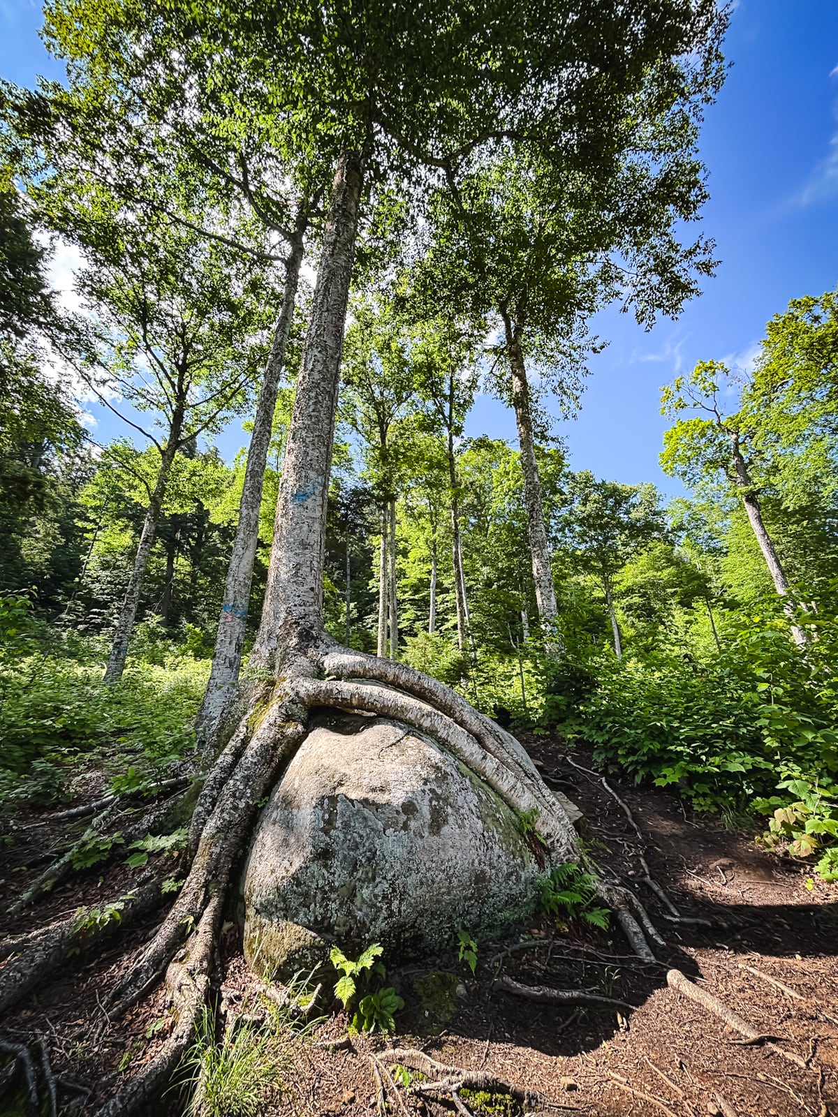
The trail is gorgeous the whole way up…
 You’ve got the basic details, but there’s so much more…
Unlock this site now to get complete intel on every route, including my full photo galleries, personal insights and tips. Elevate your next hike with deep trail beta. Experience hundreds of amazing routes at their absolute finest. With Mountain-Hiking.com, you’re not just skimming the surface.
Sean


Read More
Get full access…
Get instant access to the full version of this site and enjoy great supporter benefits: full galleries, full trail notes, early access to the latest content, and more.
Hot on the website right now…
Follow for more…
Follow my @TotalCatskills content on Instagram for regular hiking inspo and safe, inclusive community.

Goodnow Mountain Fire Tower Trailhead
Large lot for a popular hike.
Google Maps Location: 43.970046, -74.214645
The map below shows the exact topographic location of the trailhead
Cell Service
Decent up high. Patchy down low. My network is Verizon. YMMV.
The parent mountain for this hike is Goodnow.
