Disclosure: This content may contain affiliate links. Read my disclosure policy.
A long out-and-back.
Hiking Trail Description
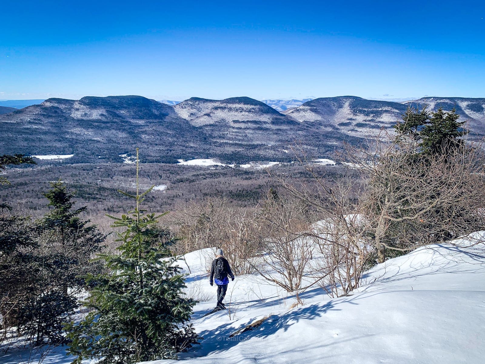
This classic Kaaterskill High Peak hike starts in Platte Clove, crosses the summit, and descends to Hurricane Ledge for one of the great Catskills views.
Kaaterskill High Peak, once thought to be the loftiest summit in the Catskills, is shrouded in a tapestry of history, tall tales and tragedy. This storied mountain, rising to an elevation of 3,652 feet, was for many years believed to be the highest point in the Catskills — a title eventually ceded to Slide Mountain. Despite this, the peak retains its legendary status.
In the 19th century, Kaaterskill High Peak stood as a symbol of the sublime beauty of the Catskill wilderness, inspiring an entire school of landscape painting known as the Hudson River School. Artists like Thomas Cole and Frederic Edwin Church were enamored by its rugged contours and the ethereal quality of light that draped its forests and valleys. This mountain was a muse.
Yet, Kaaterskill High Peak harbors darker narratives too — at least twice it has been the unwilling cradle for aviation tragedies. The first incident, in 1983, involved a small private plane that, enshrouded in fog, met its fate just below the mountain’s summit. The second, occurring in 1987, saw another aircraft succumb to the mountain’s slopes.
These twin wrecks, now part of the mountain’s lore, offer a clear reminder for hikers who come upon them of any mountain’s power and the respect they command.
The Kaaterskill High Peak hike, with its breathtaking vistas, is a serious but rewarding day hiking challenge.
BTW, you might also enjoy…
- NEW › Winter Skincare for Hikers
- CATSKILLS › Best Catskills Waterfalls
- STAY › Find Your Perfect Catskills Stay
- ADIRONDACKS › Hike Van Hovenberg
- ENTERTAINMENT › Best & Worst Hiking Movies
- Follow › My Instagram @TotalCatskills
- Follow › My Substack @TotalCatskills
- Follow › My writing for Times Union
Kaaterskill High Peak Hike
The Kaaterskill High Peak hike from Platte Clove includes…
- A long road walk up Steenburgen Road
- Access to Huckleberry Point (optional)
- The most direct trailed route to the northern slope
- Usually a lot of mud
- Access to the summit plane wreck
- Amazing views from Hurricane Ledge
Allow 5-6 hours for this hike. A full breakdown is provided in the trail notes below, with 17 jaw-dropping photos.

Kaaterskill High Peak Hike Notes & Gallery
Being at the ample parking area just off of Platte Clove Road. Good backcountry navigational skills are required for this hike, as there are many intersecting trails and old roads in the area. Trail blazing is inconsistent and junctions are a mix of unofficially-marked and officially-marked.
You’ve got the basic details, but there’s so much more…
Unlock this exclusive content to get deep intel on this hike, including my personal tips. Immerse yourself in every layer of the journey. With Mountain-Hiking.com, you’re not just skimming the surface; you’re delving into a passionate hiker’s in-depth experience.
Become a Patreon supporter today and immediately elevate your hiking adventures with full trail beta, comprehensive insights, and stunning visuals. Experience hundreds of trails to their absolute fullest!
Similar Hikes
KHP is a significant day hike. I say it feels like 90% trail and 10% mountain.
Tougher routes to the summit of KHP include this route which takes in both plane wrecks, and via Hurricane Ledge.
If you enjoyed this hike, you’re going to love Sugarloaf, Black Dome and Hunter.
Read More
Get full access…
Get instant access to the full version of this site and enjoy great supporter benefits: full galleries, full trail notes, early access to the latest content, and more.
Hot on the website right now…
Follow for more…
Follow my @TotalCatskills content on Instagram for regular hiking inspo and safe, inclusive community.
Kaaterskill High Peak Hike Trailhead
Large, popular lot in Platte Clove also serves hikes to Huckleberry Point.
Google Maps Location: 42.133649, -74.082228
The map below shows the exact topographic location of the trailhead
Cell Service
Sketchy for most of this hike. Signal up high. My network is Verizon. YMMV.
The parent mountain for this hike is Kaaterskill High Peak.


