Disclosure: This content may contain affiliate links. Read my disclosure policy.
A long, steep, tough out-and-back bushwhack
Hiking Trail Description
Beginning at Moonhaw Road, this out-and-back route to Rocky and Lone mountains passes over the summit Balsam Cap.
This route makes for a long day, but the trailhead is conveniently located on the eastern side of the range, not far from the Ashokan Reservoir. For a lot of us, this means less time driving and more time hiking.
If you want to make this day longer and harder, you can add in the summit of Friday Mountain, as well as the B-25 bomber wreck that lies in a gully between Friday and Balsam Cap.
Lots of excellent adventures in this part of The Catskills—but please bear in mind that you must have solid backcountry navigation skills to tackle these steep, densely forested and unforgiving mountains.
BTW, you might also enjoy…
- NEW › Winter Skincare for Hikers
- CATSKILLS › Best Catskills Waterfalls
- STAY › Find Your Perfect Catskills Stay
- ADIRONDACKS › Hike Van Hovenberg
- ENTERTAINMENT › Best & Worst Hiking Movies
- Follow › My Instagram @TotalCatskills
- Follow › My Substack @TotalCatskills
- Follow › My writing for Times Union
Hike Rocky & Lone from Moonhaw
This Rocky & Lone from Moonhaw route includes…
- An immediately steep and unrelenting climb up Friday Mountain
- Fantastic views from all mountains
- Confusing herd paths galore
- No water sources
- A deep backcountry wilderness experience
- You must have very strong backcountry navigation skills to tackle this hike
A full breakdown is provided in the hike notes below, with 17 crackin’ photos from the route.
Rocky & Lone from Moonhaw Hike Time
Allow 8-10 hours for this hike.
Rocky & Lone from Moonhaw Elevation Gain
The elevation gain for this hike is 3,800 feet (apx 1,150 meters).
Rocky & Lone from Moonhaw Trail Notes & Gallery
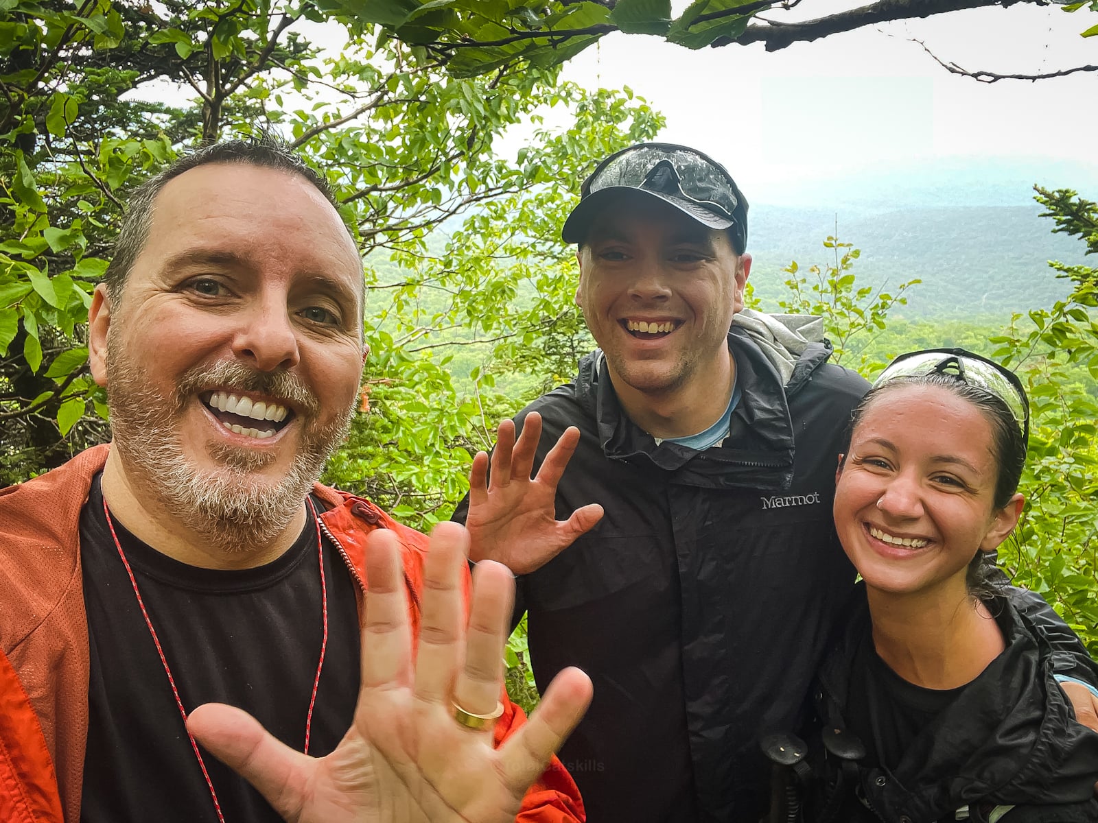
This was a very special hike for me. Rachel and Jack reached out via my Instagram as they were planning their 3500 finish on Rocky and Lone and asked if I would accompany them. Well, it was a super fun day for all of us, an honor to accompany them, and a delight to document their finish.
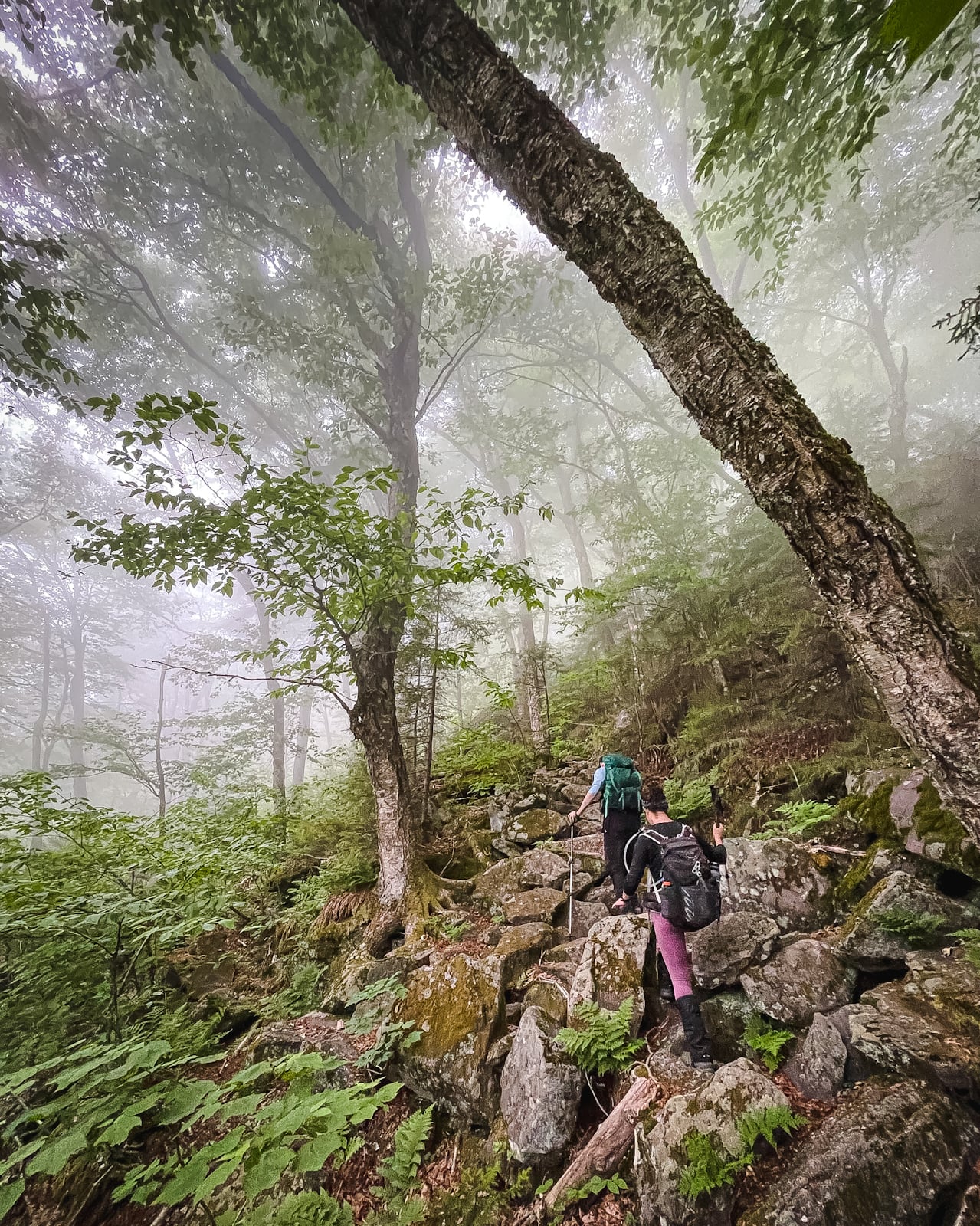
Climbing Friday…

There are so many great points and views along this route…
You’ve got the basic details, but there’s so much more…
Unlock this exclusive content to get deep intel on this hike, including my personal tips. Immerse yourself in every layer of the journey. With Mountain-Hiking.com, you’re not just skimming the surface; you’re delving into a passionate hiker’s in-depth experience.
Become a Patreon supporter today and immediately elevate your hiking adventures with full trail beta, comprehensive insights, and stunning visuals. Experience hundreds of trails to their absolute fullest!
Similar Hikes
These peaks can also be hiked from the west via the incredible Fisherman’s Path.
Read More
Get full access…
Get instant access to the full version of this site and enjoy great supporter benefits: full galleries, full trail notes, early access to the latest content, and more.
Hot on the website right now…
Follow for more…
Follow my @TotalCatskills content on Instagram for regular hiking inspo and safe, inclusive community.
Rocky & Lone from Moonhaw Trailhead
Small trailhead with unreasonably good cell service (Verizon)
Google Maps Location: 41.983882, -74.327352
The map below shows the exact topographic location of the trailhead
Cell Service
The trailhead for this hike is in a hollow that faces east toward Kingston so there is good cell coverage down low. However, you will lose and regain coverage many times on this hike, depending on the exact patch of terrain you’re in. My network is Verizon. YMMV.
The parent mountain for this hike is Lone.


