Disclosure: This content may contain affiliate links. Read my disclosure policy.
A new trail to a wonderful ledge and scenic view.
Trailhead info at bottom of this post.
Hiking Trail Description
This new unblazed trail uses old roads and logging trails. Although it’s short, it’s steep, and is known to be a challenging “huffer”.
This route has been blazed since this post was published, so it’s quite easy to follow now.
Ticetonyk Trailhead
The lot is a small enclosure on Peck Road in Shokan. I drove up from Route 28 via Bostock Road and then, and the sign for YMCA Camp Seewackamano, turned right onto Peck Road.
After about 1500 ft you’ll see a large white house on the left, surrounded by low stone walls.
The parking area for the Ticetonyk hiking trail is right before the house, also on the left.
Ticetonyk Hiking Trail
The trail leads up from the back of the small lot and the first section is pretty level. Make sure to stay on the trail as it passes between the YMCA Camp on the left and private property on the right.
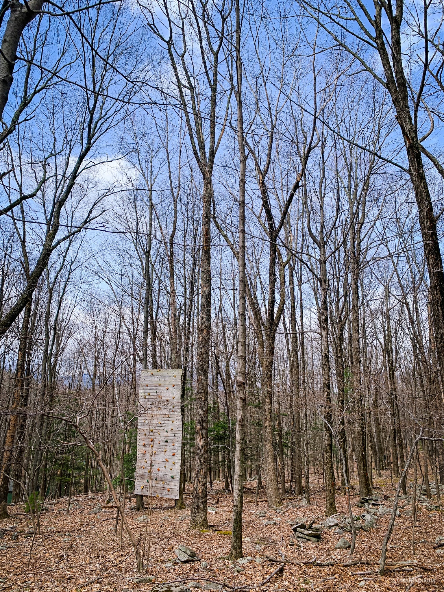
When I visited this trail it was so new it had not yet been fully cleared of blowdown or fully blazed…
First Turn
The first major waypoint comes about half-a-mile into the hike. Turn right here and head uphill.
Parts of this trail are quite steep. There are no obstacles to contend with but it’s definitely a huffer.
Just above 1800’, the trail curves to the left and passes through a rugged section that seems to be a drainage off the mountain.
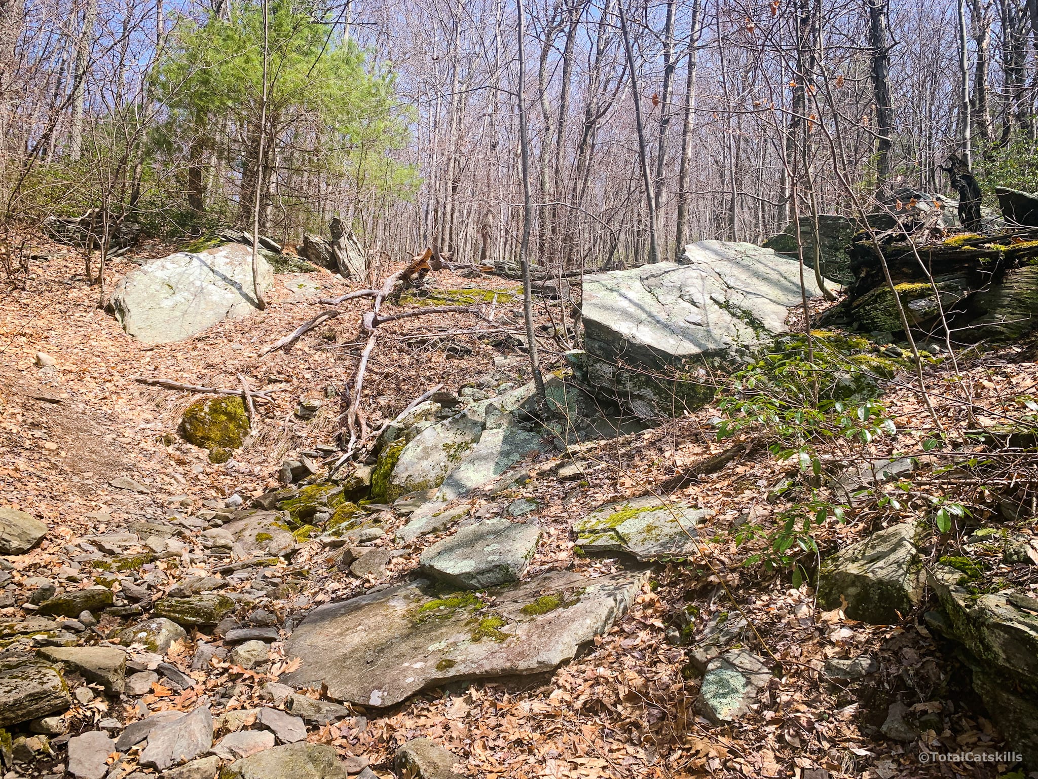
From all around here, you can start looking back through the trees and watch the Burroughs Range come into view.
Ticetonyk is covered in Mountain Laurel. Really thick stands of the stuff. I can’t wait to come back here when everything’s in bloom.
[auMC5]
Second Turn
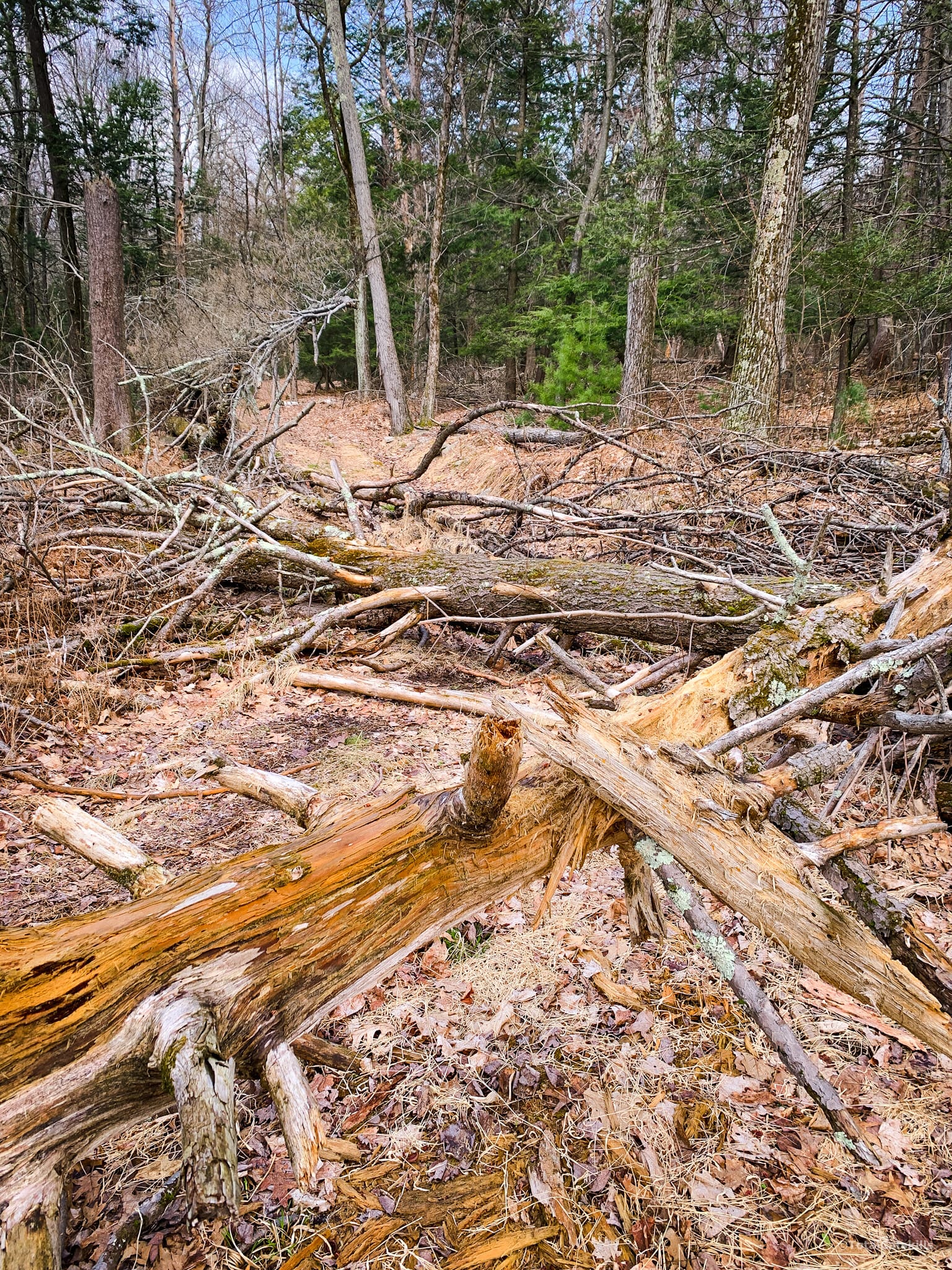
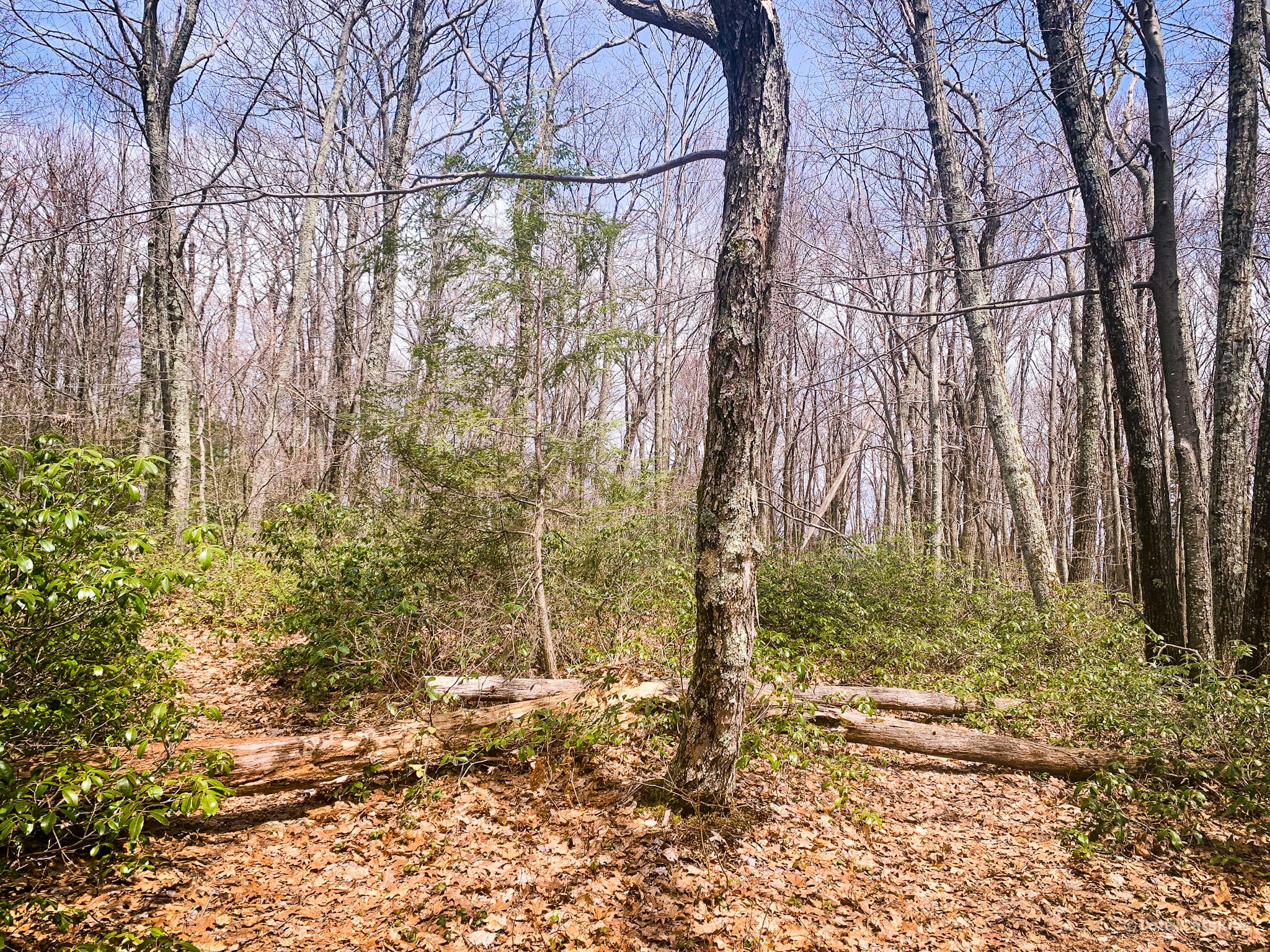
Just above 2100’, another fork appears in the trail. On this day, both trails had blowdown lying across them — a common way-finding sign that means “not this way”.
Use the left trail. Just step over the blowdown, if it’s still there.
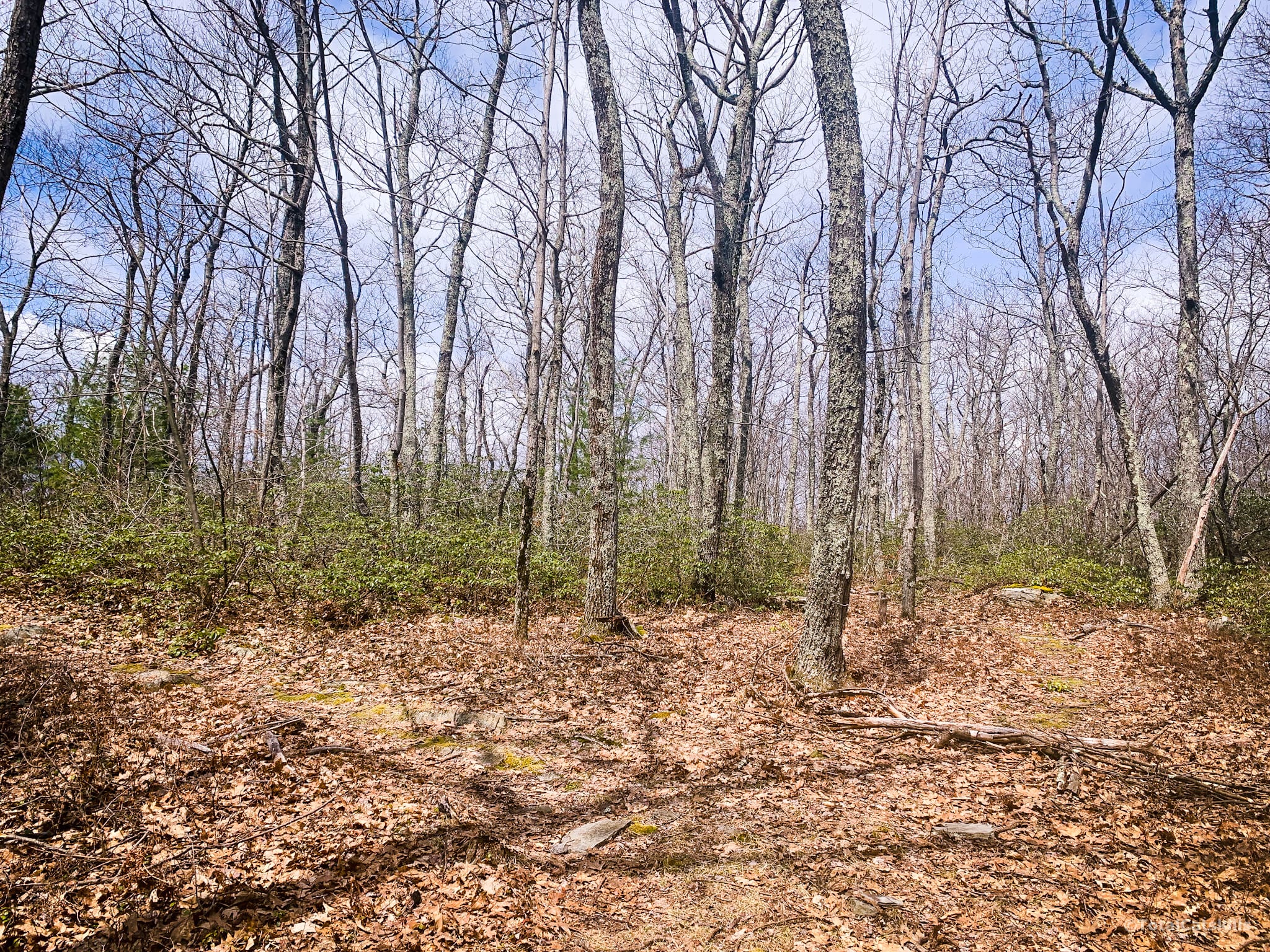
Third Turn
A few minutes later you’ll come to the final turn, also unmarked. Again, turn left. (The planned trail continues straight ahead but ends after 750 ft or so. I didn’t check it out.)
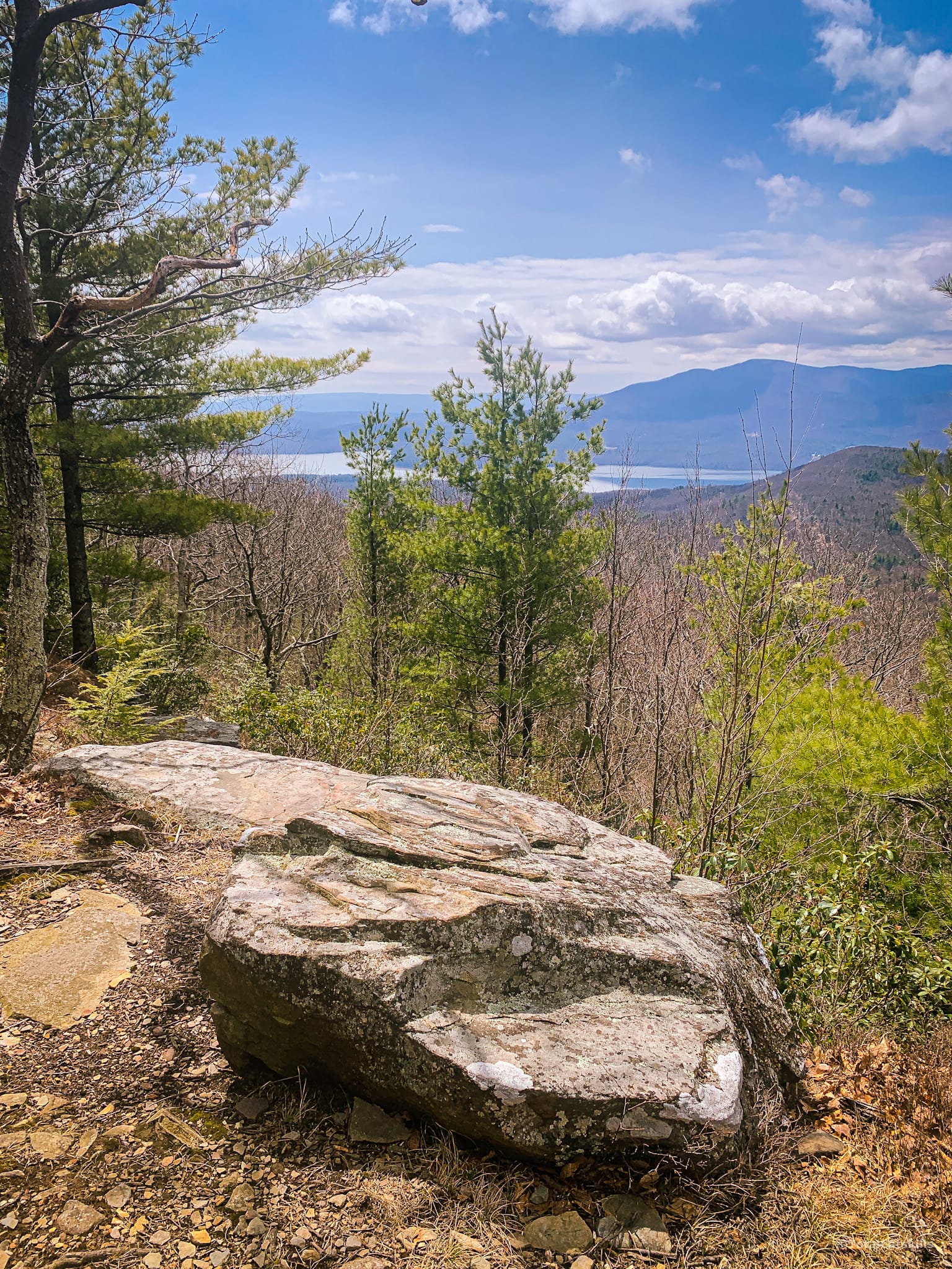
The trail descends a little until you come to an obvious lookout.
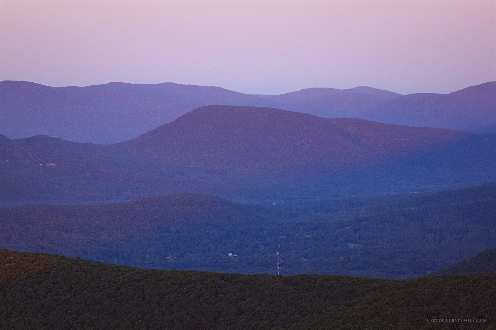
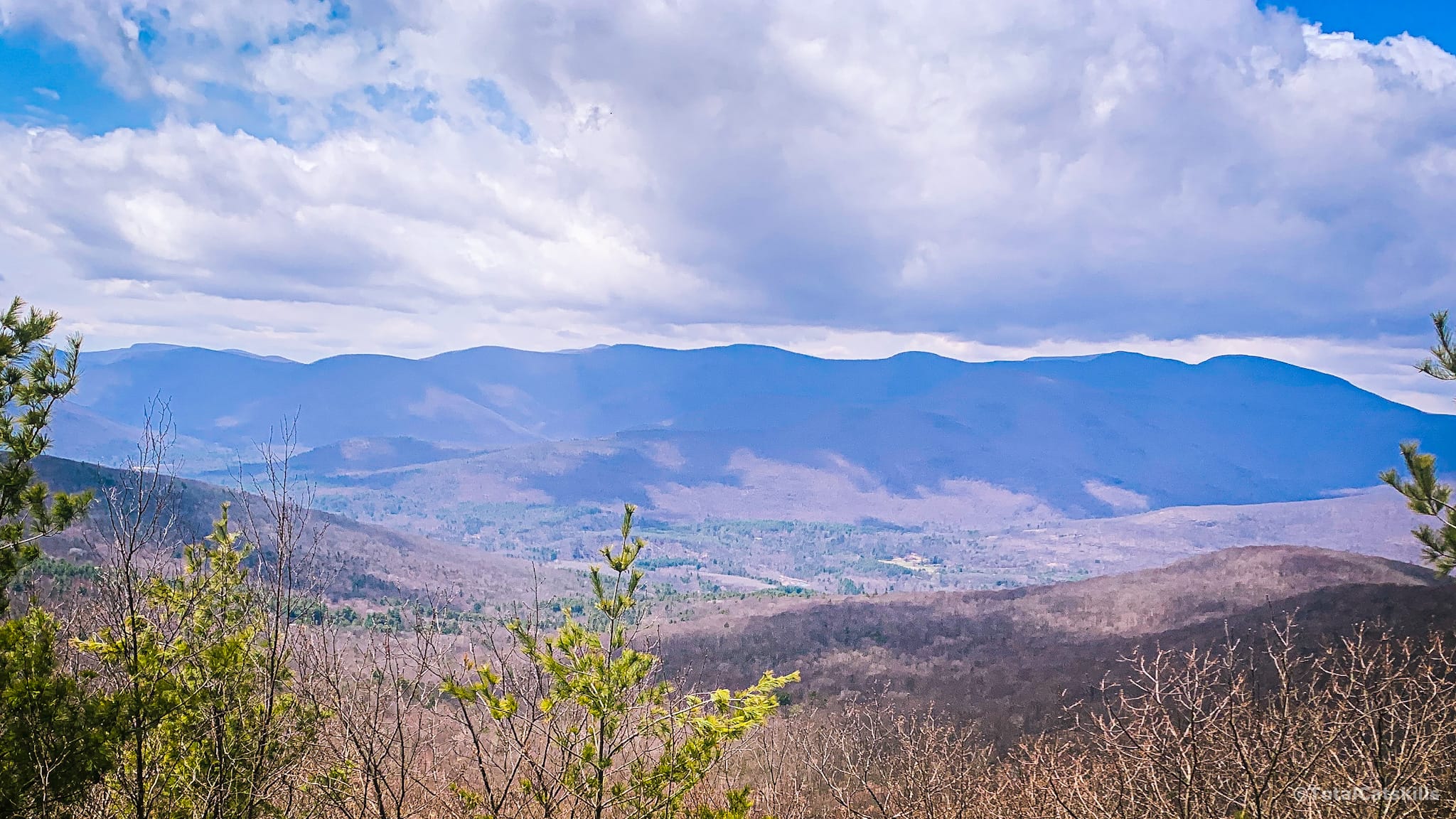
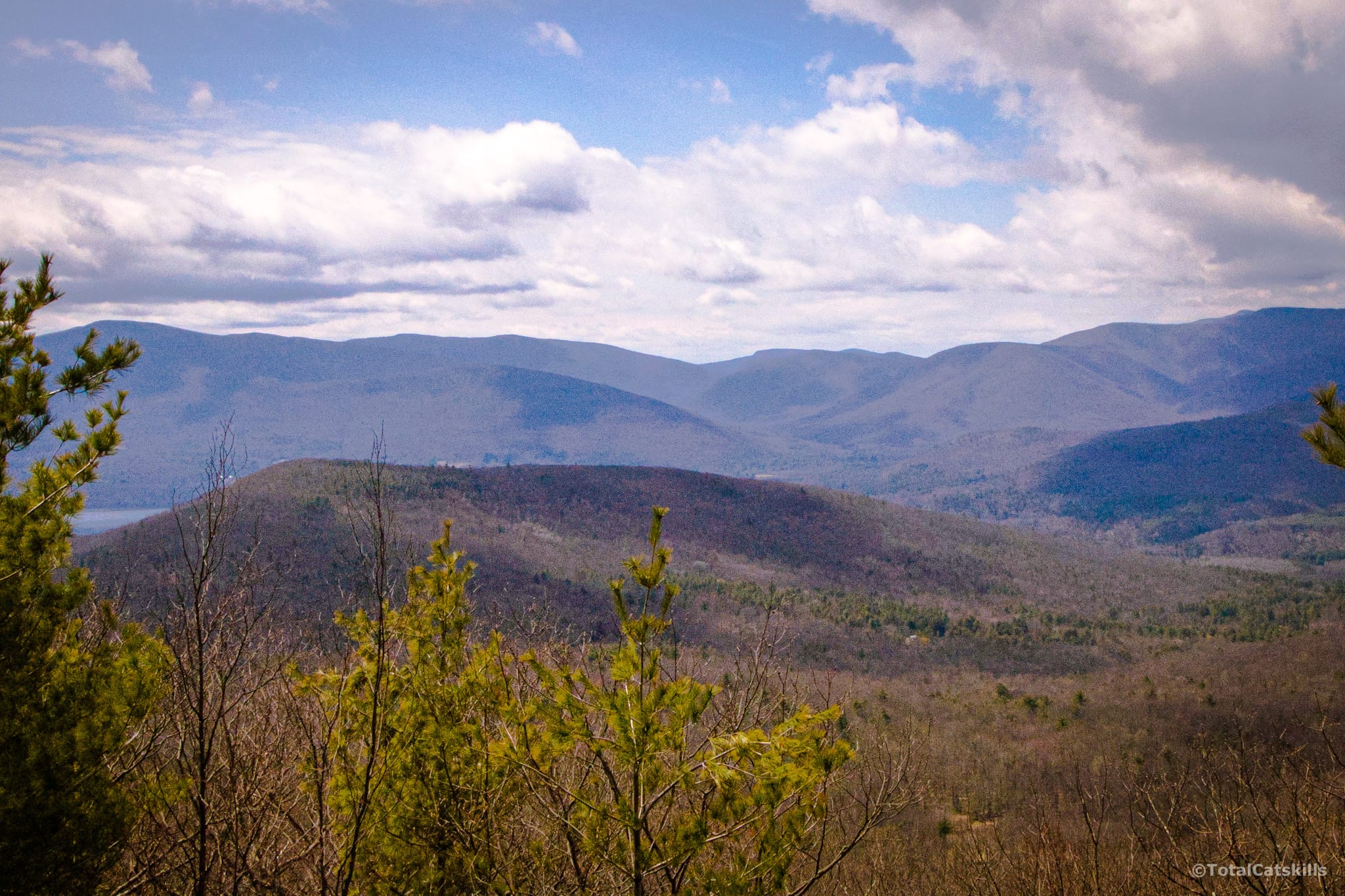
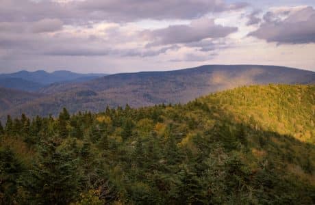
West View
The view here is really tremendous. I messed up the exposures on my DSLR so my shots aren’t great but, trust me, your efforts will be well rewarded with this view.
Looking toward the Ashokan Reservoir and Ashokan High Point…
Looking toward the Burroughs Range…
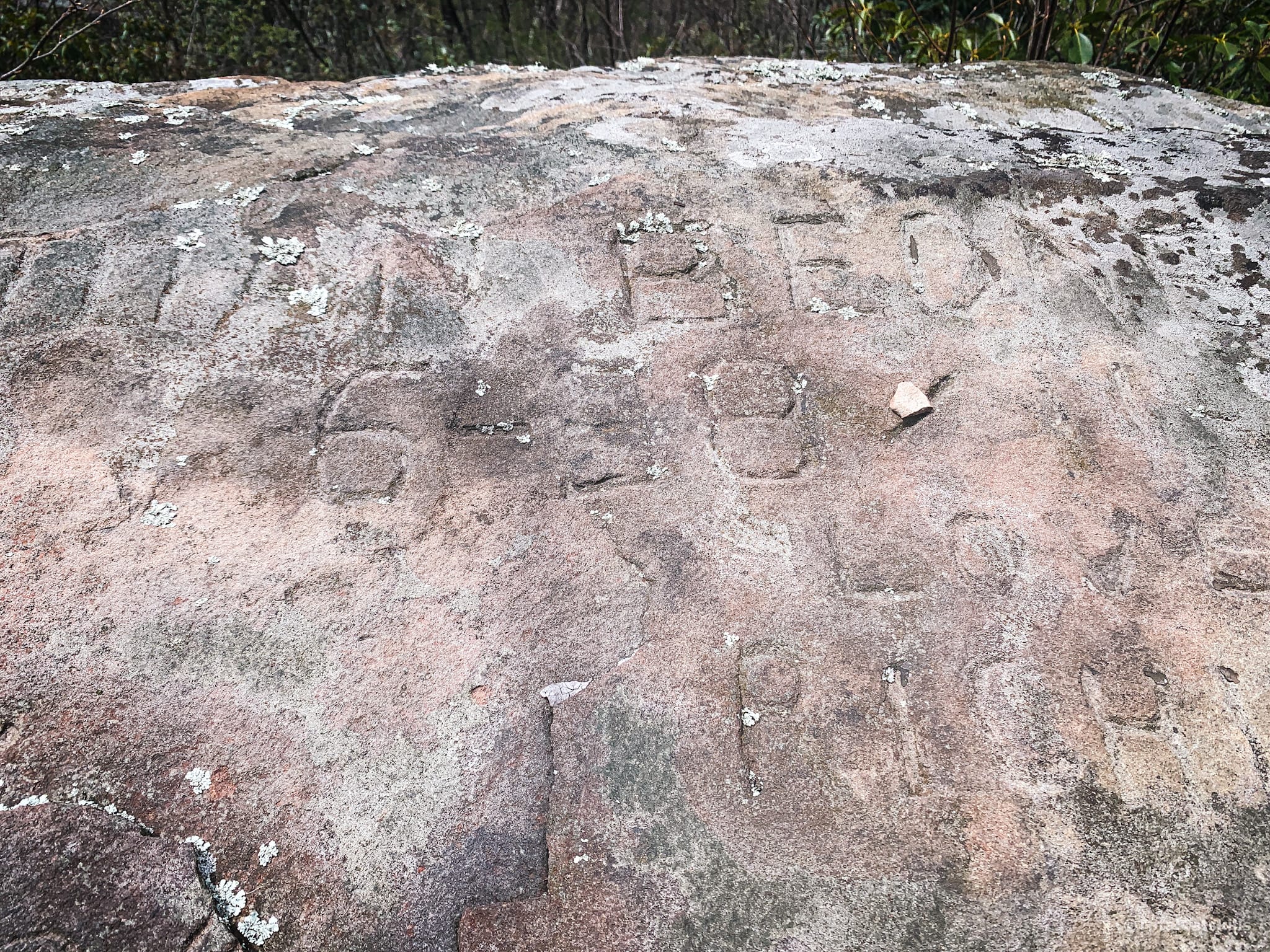
The ledge has some cool graffiti chiseled into it, probably in the 1800’s…
But it’s the wide mountain vista that wins the day…
From here, you can simply return to the parking area by reversing your hike.
Special Note
The best way to get to Ticetonyk’s exceptional eastern scenic view is from the south side of the mountain via the Peck Road route. A second post covers a bushwhack route from a nearby (different) lot on Peck Road.
Similar Hikes
This new Catskills hiking trail may or may not be kid-friendly. It’s a short hike but it’s also a steep hike — you know what your small people can handle.
It’s definitely a scenic hike.
Get full access…
Get instant access to the full version of this site and enjoy great supporter benefits: full galleries, full trail notes, early access to the latest content, and more.
Hot on the website right now…
Follow for more…
Follow my @TotalCatskills content on Instagram for regular hiking inspo and safe, inclusive community.

Ticetonyk Mountain Trail to West View Trailhead
Smallish lot to the left of a large white house and stone fence.
Google Maps Location: 41.995140, -74.229387
The map below shows the exact topographic location of the trailhead
Cell Service
Service from trailhead, viewpoints and summit. Patchy in between. My network is Verizon. YMMV.
10 responses to “Ticetonyk Mountain Trail to West View”
Your comments are welcome here…
The parent mountain for this hike is Ticetonyk.

Your posted track to the summit is trespassing and should be removed
Can you give more detail? (Which section is trespassing?) Last I heard, this trail had been fully blazed. I will remove or adjust the GPS track if it’s inaccurate. Thank you.
I’ve replaced the GPS track with a GPS route which includes only the trail section discussed in the article. Thank you for your note.
We live down the road and we just tried this trail for the first time. Phew!! It’s steep. We hiked it in the snow which made it a big harder but overall a great hike with a great view
Oh, nice! I think it’s been blazed since I was there. Is that right? (And, yes, it’s definitely a huffer!)
I want to do this Saturday!
I think it’s been blazed since. LMK how it goes!
This is a great little hike with a payoff. Thanks!
I’m looking forward to your post about how to get through the bushwhacking section after the first scenic view. I was able to follow the your path to about 600′ but the trail became impassible. I’ve been up Ticetonyk from the Peck Road access parking lot which is also a wonderful hike.
It was so tough, and I did it earlier in the year. It must be even harder right now. I’ll get that post finished soon.
Seth, that second report is now on the site. Hope you enjoy.