Disclosure: This content may contain affiliate links. Read my disclosure policy.
Tricky scrambles, and requires a short car shuttle.
Trailhead info at bottom of this post.
Hiking Trail Description
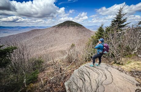
The Twin Mountain traverse covers some of the most rugged trail sections in the Catskills.
This is one of the most technical, fun, and scenic sections of the Devil’s Path, itself the most challenging trailed routes in the Catskills. Although short, its rugged. Although there’s not a ton of elevation gain, there are challenging scrambles and parts are quite steep. So this route should not be underestimated. But it is so rewarding.
This route requires cars staged at two trailheads. Luckily, they are just a few minutes from each other. Park first at Prediger Road trailhead, then proceed to the Roaring Kill trailhead and begin the hike from there.
Don’t forget to to sign the register at Roaring Kill, and sign out there again when you come back to retrive your car.
Frequently Asked Questions
How long does it take to hike Twin Mountain Traverse?
Allow 3.5-5 hours for this hike, depending on your pace and how long you want to linger at the big view.
What is the elevation gain for Twin Mountain Traverse?
The elevation gain for this route is apx 1,800 feet / 550 meters.
Twin Mountain Traverse Hiking Trail Guide
The Twin Mountain Traverse hiking trail includes…
- A fantastic quarry
- Stream crossing
- Technical trail scrambles
- Steepness
- Two summits
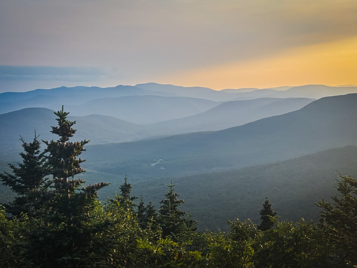
- Spectacular scenic views
- A rugged descent
A full breakdown is provided below in my hike notes with lots of photos.
BTW, you might also enjoy…
- CATSKILLS › Catskills Fall Foliage 2026
- ADIRONDACKS › Hike Cascade & Porter
- STAY › Find Your Perfect Catskills Stay
- UPDATED › Best Bug Spray & Repellent for Hikers
- LEARN › Camping in the Catskills
- Follow › My Instagram @TotalCatskills
- Follow › My Substack @TotalCatskills
- Follow › My writing for Times Union
Twin Mountain Traverse Trail Notes & Gallery
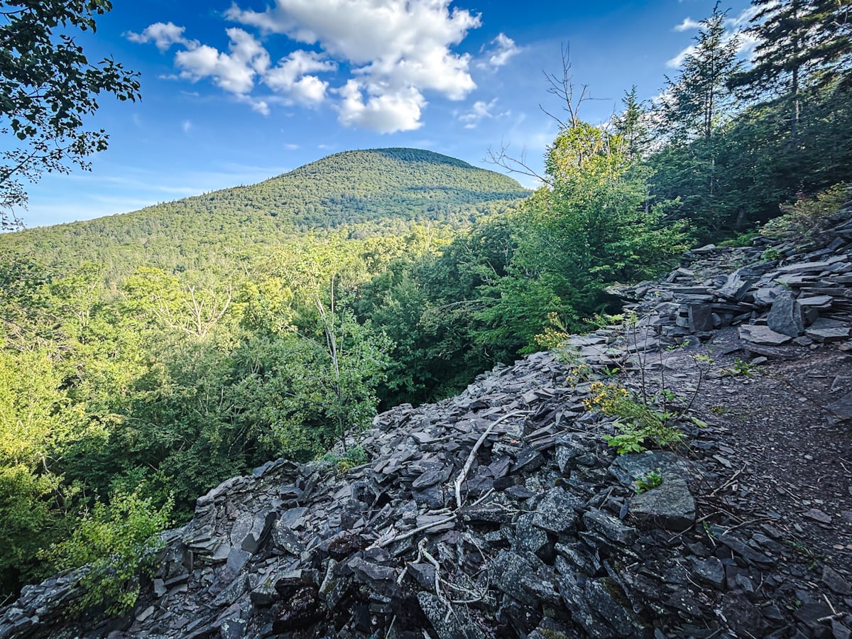
The first fun checkpoint is Dibbles Quarry, which is a great hike all by itself and always a lot of fun to explore. From there, make your way across the stream — one of my favorite stream crossings in The Catskills — around the beaver pond and up to Pecoy Notch…
 You’ve got the basic details, but there’s so much more…
Unlock this site now to get complete intel on every route, including my full photo galleries, personal insights and tips. Elevate your next hike with deep trail beta. Experience hundreds of amazing routes at their absolute finest. With Mountain-Hiking.com, you’re not just skimming the surface.
Sean

Read More
Get full access…
Get instant access to the full version of this site and enjoy great supporter benefits: full galleries, full trail notes, early access to the latest content, and more.
Hot on the website right now…
Follow for more…
Follow my @TotalCatskills content on Instagram for regular hiking inspo and safe, inclusive community.

Twin Mountain Traverse Trailhead
Small-ish lot on a dirt road. Get there early on busy days.
Google Maps Location: 42.151052, -74.131107
The map below shows the exact topographic location of the trailhead
Cell Service
Signal up high. Poor signal at trailheads. My network is Verizon. YMMV.
The parent mountain for this hike is Twin.