Disclosure: This content may contain affiliate links. Read my disclosure policy.
A straightforward out-and-back with only one junction turn.
Trailhead info at bottom of this post.
Hiking Trail Description
Hiking Windham High Peak from Route 23 is my new favorite way to hike this wonderful mountain. The large parking area, and the easy first mile of boardwalks and hemlock-rich woods, make for such a pleasant beginning and end to this beautiful day hike.
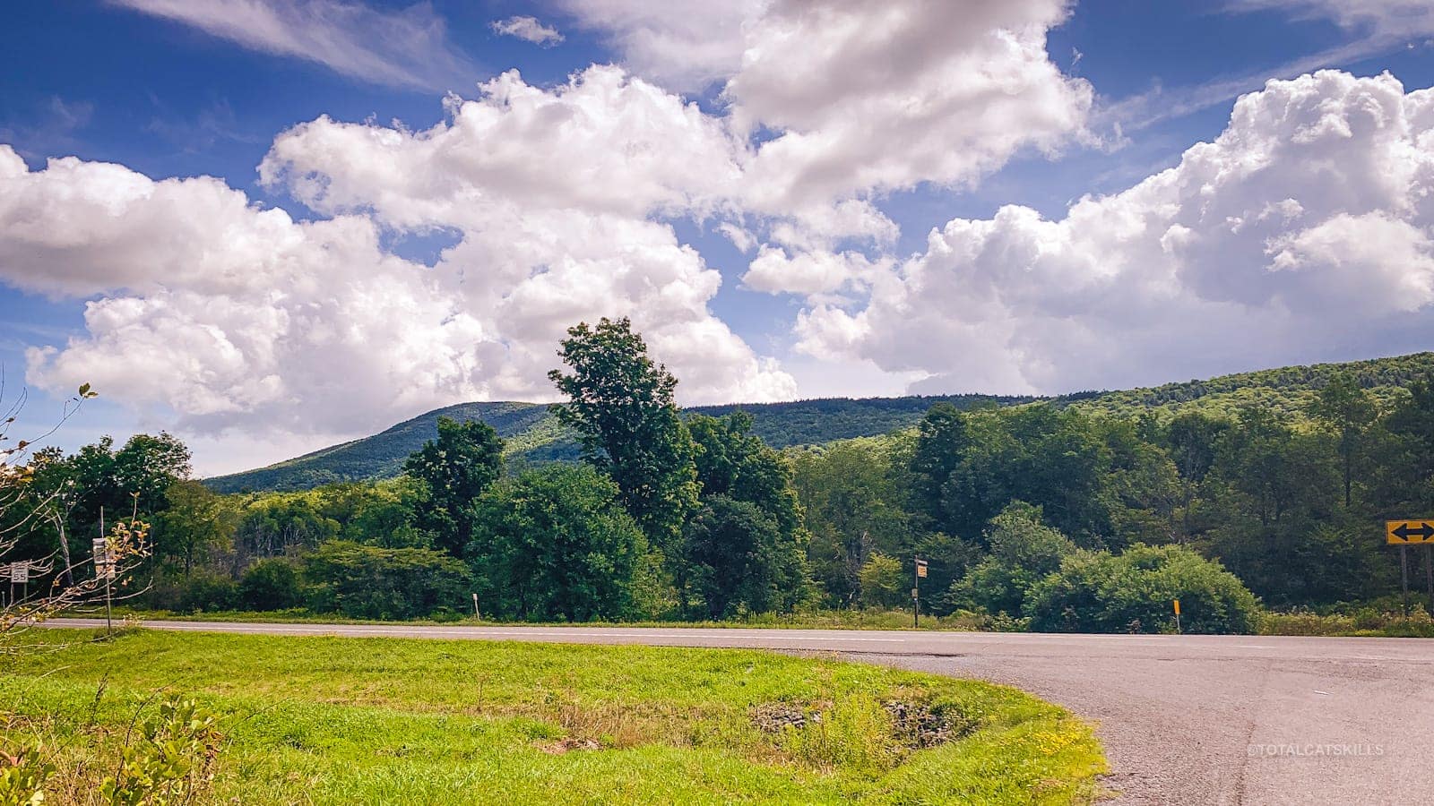
On the drive up, Route 23 itself is beautiful. It winds along the Catskill escarpment, from Cairo through Acra and South Durham to East Windham (passing between Mt Zoar and Kate Hill). On a sunny day, it’s just a lovely route with great views of the escarpment peaks.
Patrons of this website can view a 3 minute walk-through video of this hike.
Parking
The Elm Ridge Parking Area is only 45 minutes from Kingston which, for me, means 15 minutes less travel time than heading to the Peck Road trailhead. The 30 minutes I gain is spent in the woods.
From the parking lot, Windham High Peak is visible on the opposite side of Route 23.
Windham High Peak Hiking Trail
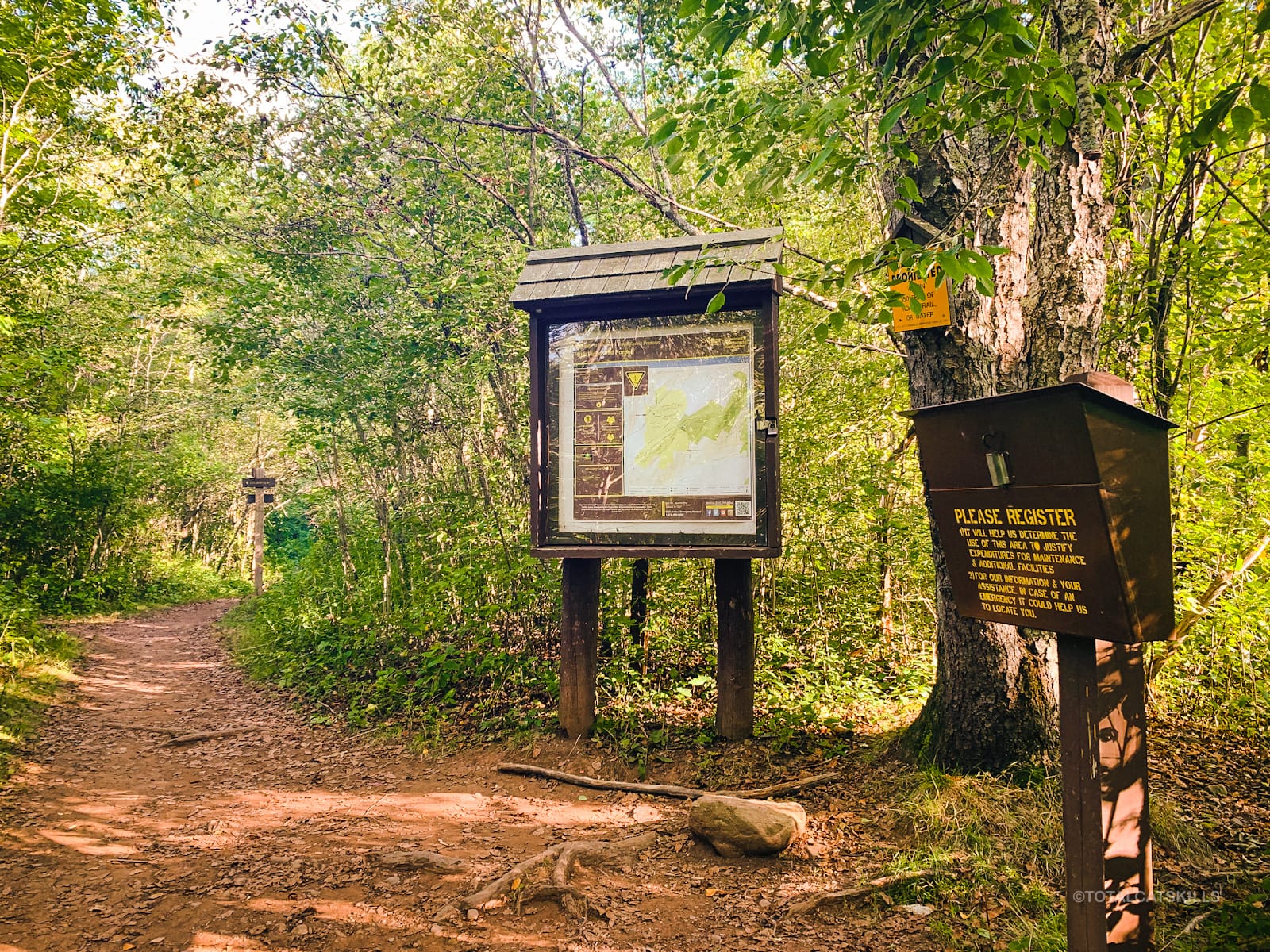
Cross Route 23 carefully — it’s a very busy stretch of road — and look for the trailhead sign.
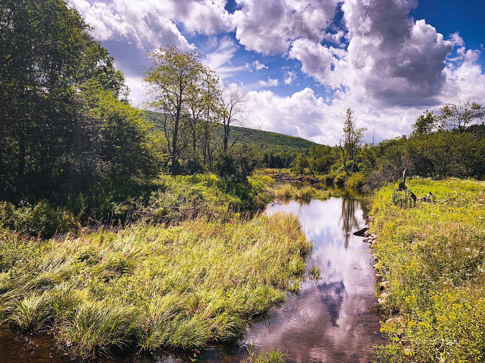
The trail dips down and crosses a footbridge with this view, looking east.
The first part of the trail is multi-use, so you’ll see hikers and bikers sharing the 1.4 miles to the junction: lots of fun trails for the bikes, and lots of easy trail for the feet.
There are also a number of sweet boardwalks.
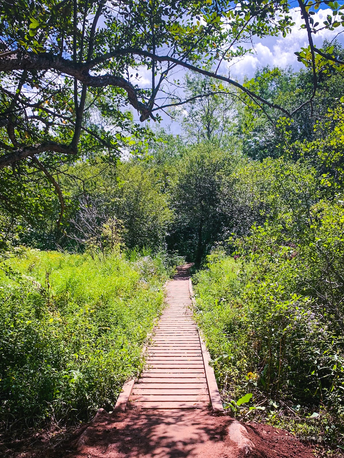
The first 1.0 mile is very easy and mostly pretty level.
The next 0.4 mile heads up to the col between Elm Ridge and Windham High Peak via a series of switchbacks.
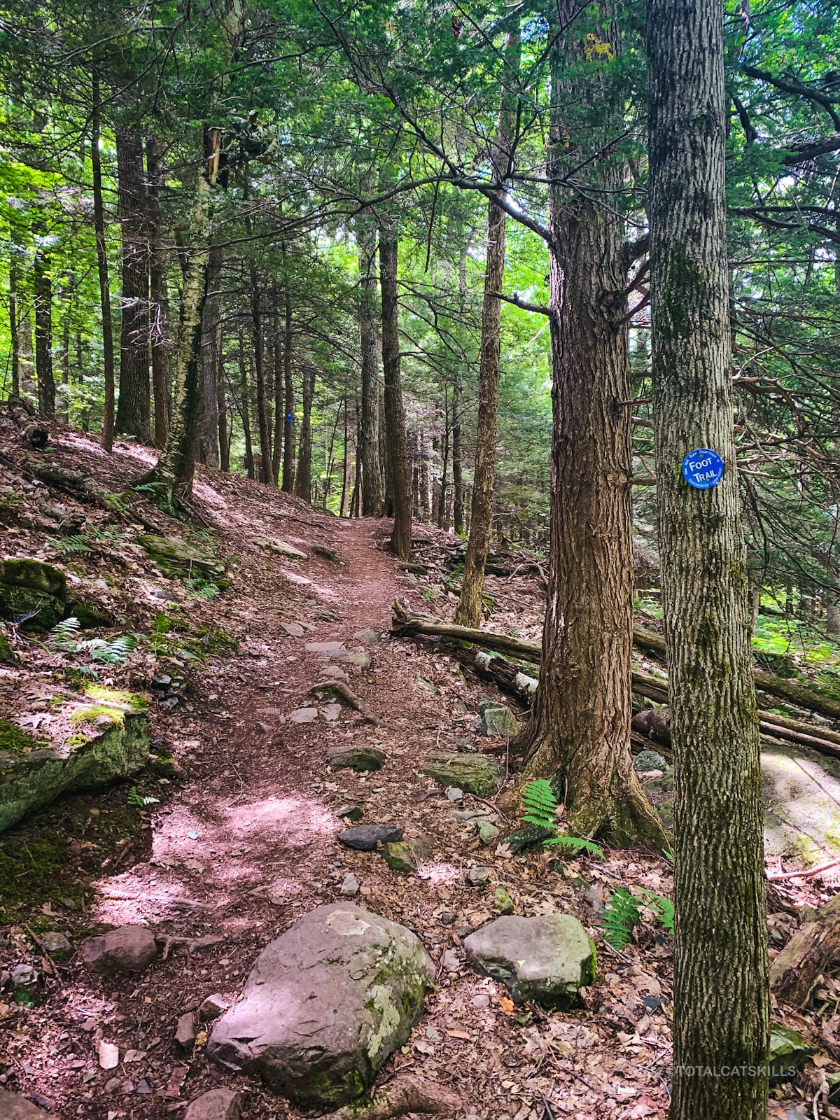
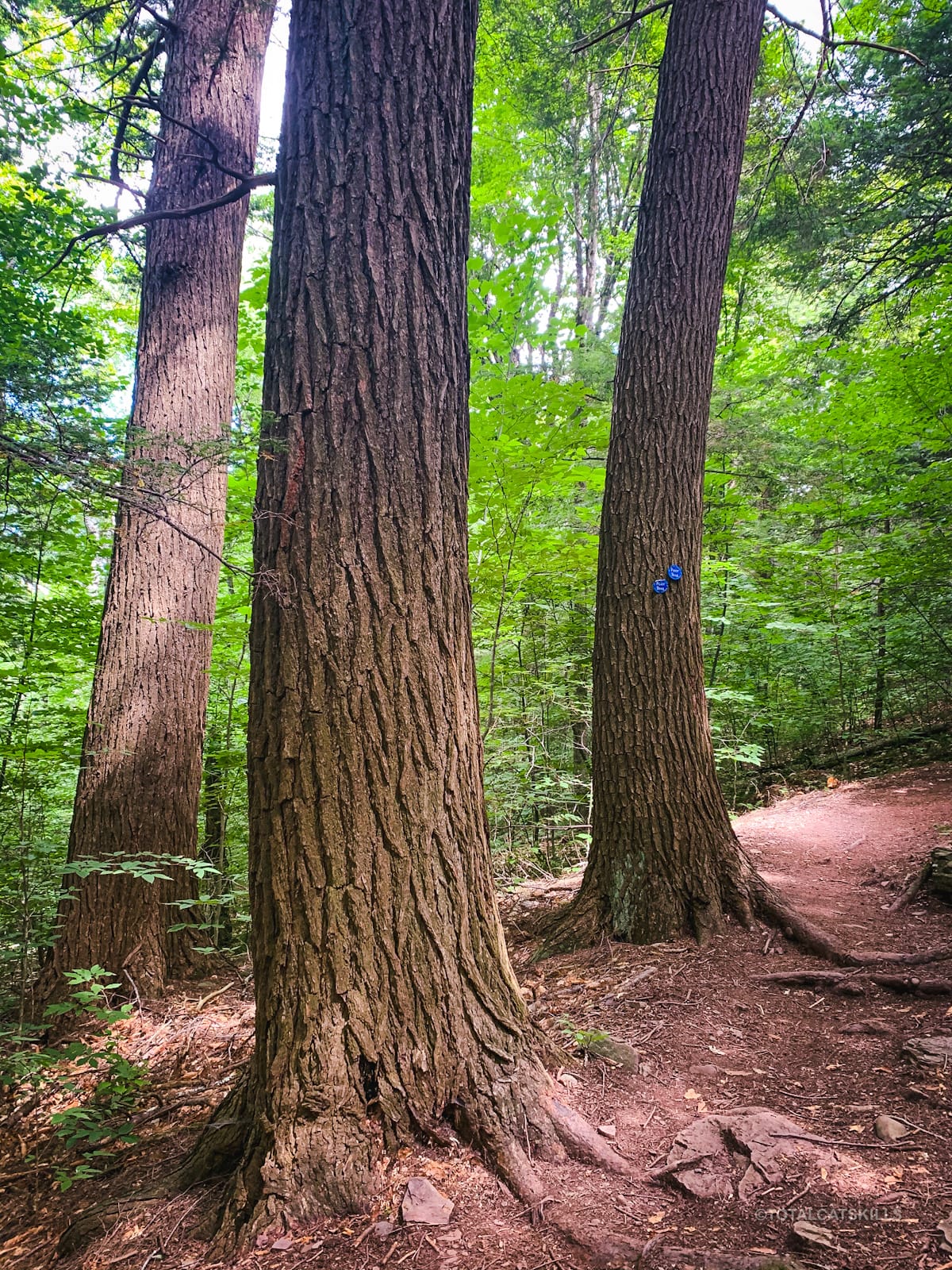
The forest has a lot of old tall hemlocks, my favorite.
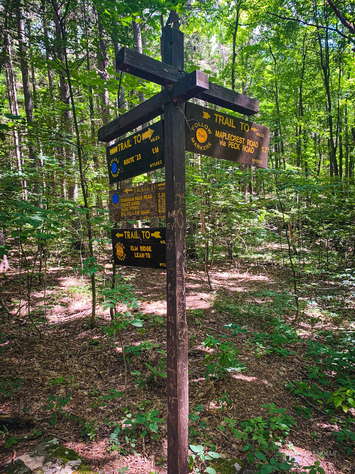
Junction
From here, the route is the same as if you were hiking Windham High Peak from Peck Road. The trail is easy, with a few short sections of moderate elevation. There are no rock scrambles, or anything tricky to contend with, though the trail is uneven in spots. Overall, it’s just an absolutely lovely mountain hike.
This was one of the first hikes I did and, in those early days, I did find it tiring. Now it feels very easy but, on this day, I saw several hikers having a variety of speed and effort experiences — a reminder to never worry about how you’re doing: hike your own hike.
Turn east/left, and head up the 2.25 miles to the summit.
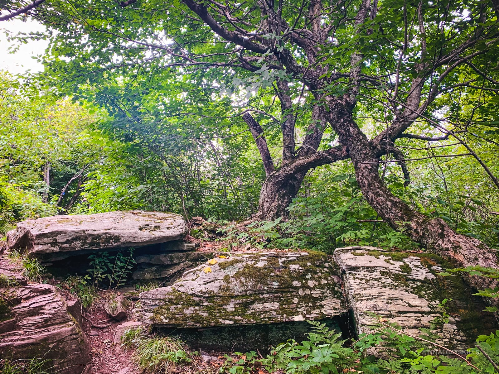
Norway Spruce Forest
At 2600’ you’ll come to a low stone fence with an opening. This is the start of the Norway Spruce plantation, which is man-made but entirely magical…

Similar Hikes
This is such a great hike, with its combination of ease, beauty and scenery. It’s a kid-friendly mountain hike. It is absolutely one of the best Catskills hikes.
For an alternate route to the junction, try hiking Windham High Peak from Peck Road — it’s slightly shorter but also really lovely!
A comparable hike that’s also easy and suitable for kids is the Balsam Lake Fire Tower hike.
These hikes are the first hikes I recommend to anyone who wants to try a Catskills mountain hike for the first time.
If you’d like something equally beautiful, but without the elevation gain, visit Kelly Hollow Loop at any time of year.
Get full access…
Get instant access to the full version of this site and enjoy great supporter benefits: full galleries, full trail notes, early access to the latest content, and more.
Hot on the website right now…
Follow for more…
Follow my @TotalCatskills content on Instagram for regular hiking inspo and safe, inclusive community.

Hike Windham High Peak from Cross Road Trailhead
Large, popular lot.
Google Maps Location: 42.313082, -74.190348
The map below shows the exact topographic location of the trailhead
Cell Service
Sketchy in the lot and patchy throughout. Higher is better. I was able to get some texts out. My network is Verizon. YMMV.
The parent mountain for this hike is Windham High Peak.
