Disclosure: This content may contain affiliate links. Read my disclosure policy.
Easy out-and-back.
Trailhead info at bottom of this post.
Hiking Trail Description
This is the hike I recommend to anyone who’s never hiked in the Catskills before, or is wondering if they’d even be able to handle a mountain hike. (Yes, you can.) It’s a short and easy hike — but it’s also very beautiful and so rewarding. I’m always super happy when I get to hike this route.
BTW, an alternative route that’s a little longer (but is even more beautiful) is to hike Windham High Peak from Cross Road / Route 23. Both are superb routes, and both climb the mountain from the west side — they just have two different starting points.
Parking
Make sure you plug in the correct “Peck Road” to your phone for directions. There is another Peck Road a few miles west. You want the Peck Road off of Big Hollow Road a.k.a. County Route 56.
The parking area is small-ish and this is a popular destination so, on busy weekends, plan to arrive early.
Windham High Peak Hiking Trail
From the lot, follow the yellow-blazed trail to the right of the notice board. There are a few homes near the trail, so make sure you stay on track.
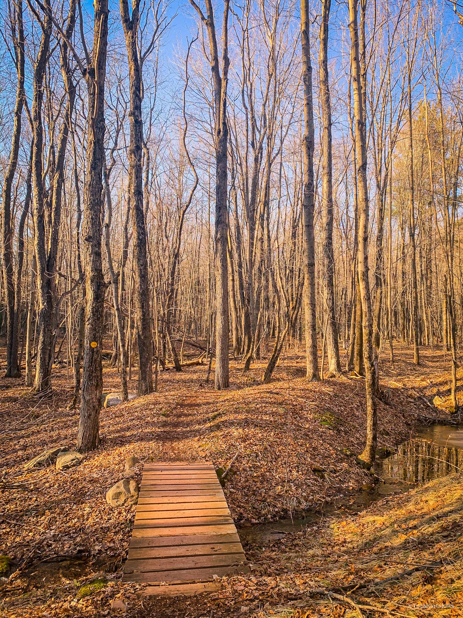
Soon, you’ll pass over a series of sweet lil footbridges like this…
The yellow trail has recently been re-routed away from the straight run up to the first junction. When you come to the sign for the lean-to, the trail diverts to the left. It’s a fun route I’ve done before, so just follow the yellow blazes: the trail passes through some nice woods and rocky canyons before turning uphill to reconnect with the old trail just below the first junction.
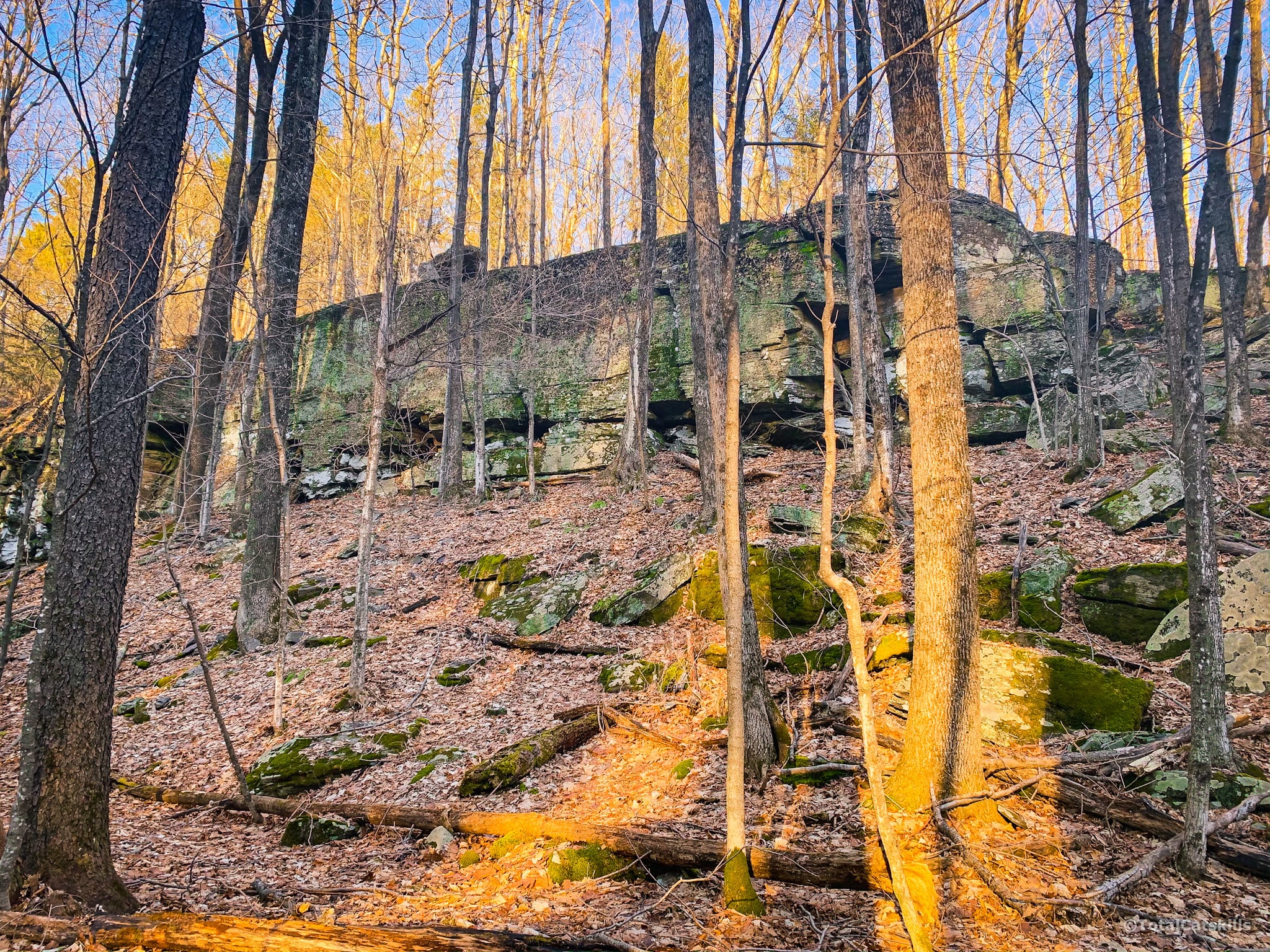
Today, I was short on time so I just barreled right up the old woods road, passing this dramatic rock outcropping on the way. This route is wet and ices up in winter, as there’s a spring about ½ a mile from the trailhead.
Junction
The trail crosses into the col between Elm Ridge (to the west/left) and Windham High Peak (to the east/right). This is a good place to send out a text on the way back down, as it’s the last spot where you’ll have decent coverage; below here, the signal is poor to non-existent.
Turn right and begin heading toward Windham High Peak, following the blue blazes of the Catskill Escarpment Trail.
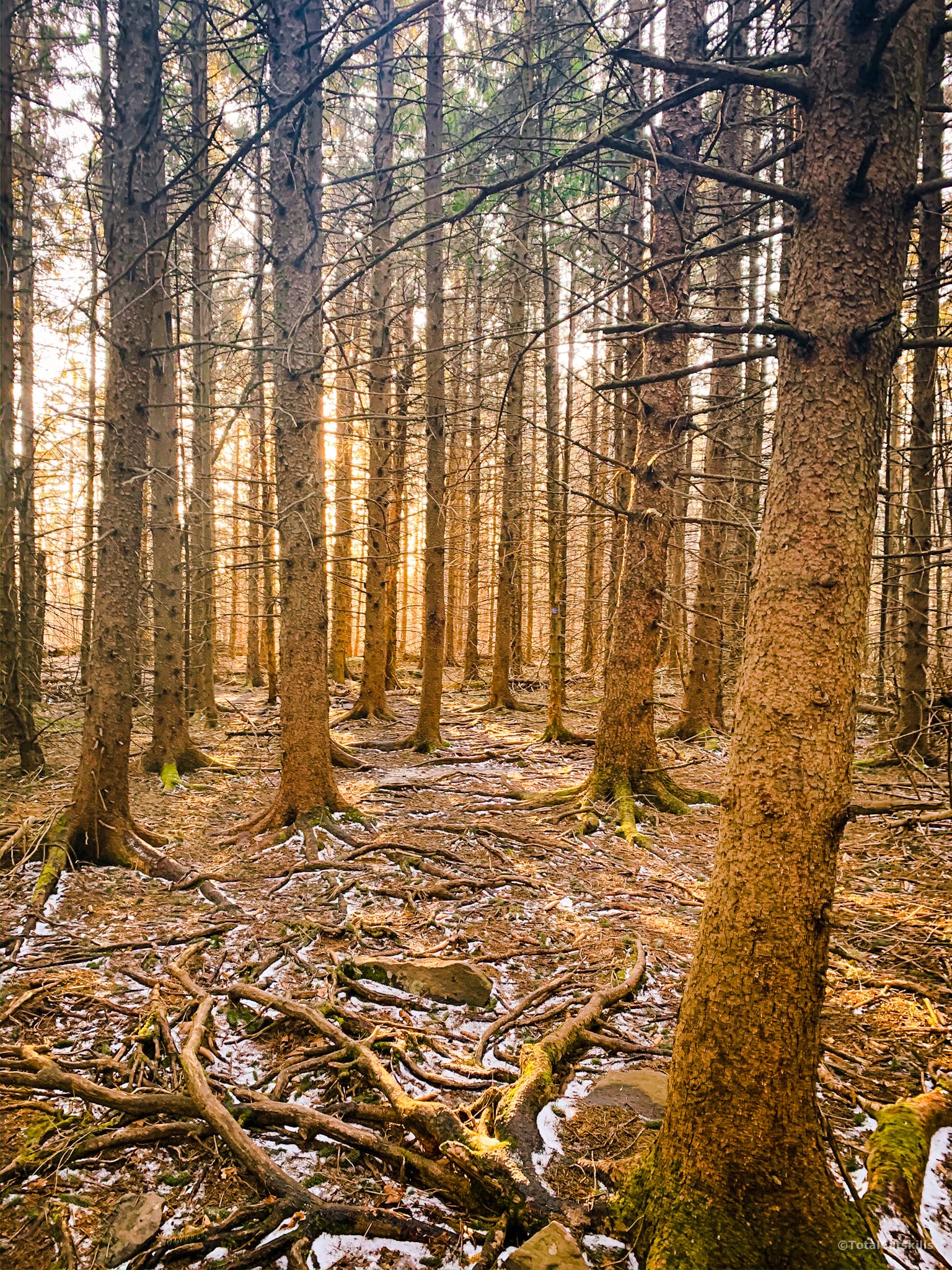
Spruce Forest
Very quickly the trail passes through a Norway Spruce planted forest. This plantation was developed by the Civilian Conservation Corps 90-100 years ago. They are among the sweetest woods in the Catskill Park. Magical at any time, they are especially so on a misty morning, or in warm evening light.
The trail winds uphill through the woods for about ¾ mile until you come to the eastern edge of the plantation. These wooden footbridges over a boggy section guide your way out…
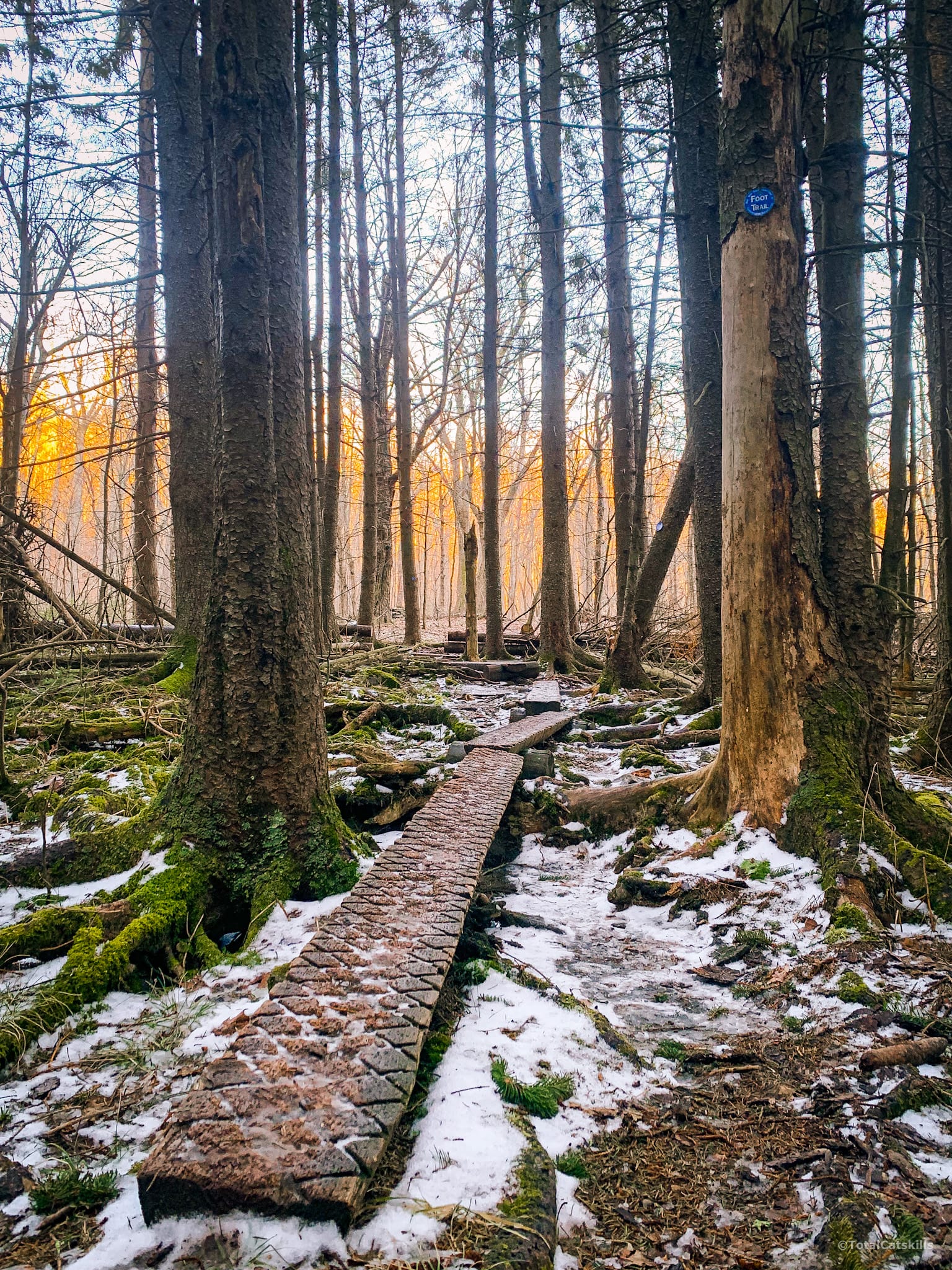
As enchanting as this forest is during the day, I had to really screw up my courage to re-enter it at night on my way back down. They are absolutely pitch black inside, and have a very dark fairy tale atmosphere. The sound of the wind moving through the upper canopy and the trees creaking in the breeze meant my heart rate stayed around 2000 beats-per-minute until I made it to the far side.
However, still heading uphill, once you come out of the spruce forest, the trail winds around Windham High Peak’s south-western flank and passes along the edge of another dense woods. You’ll pass a series of very Entish trees.
Ascent to Windham High Peak
After a while, the route bends left/northeast and starts the final climb to the summit. This is the only section that feels a little steep but it’s not long before things ease up.
As you ascend, the Blackhead range comes more and more into view, though views are mostly screened.
The summit of Windham High Peak is only 25’ above 3500’ — so when you pass the 3500’ ELEVATION sign, you’ll know you’re almost there.
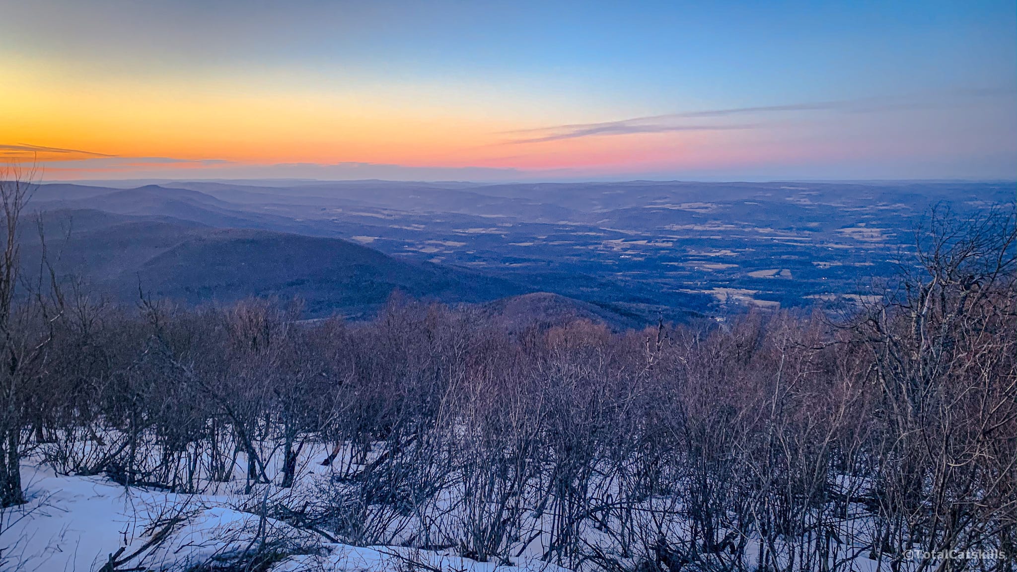
Two Lookouts
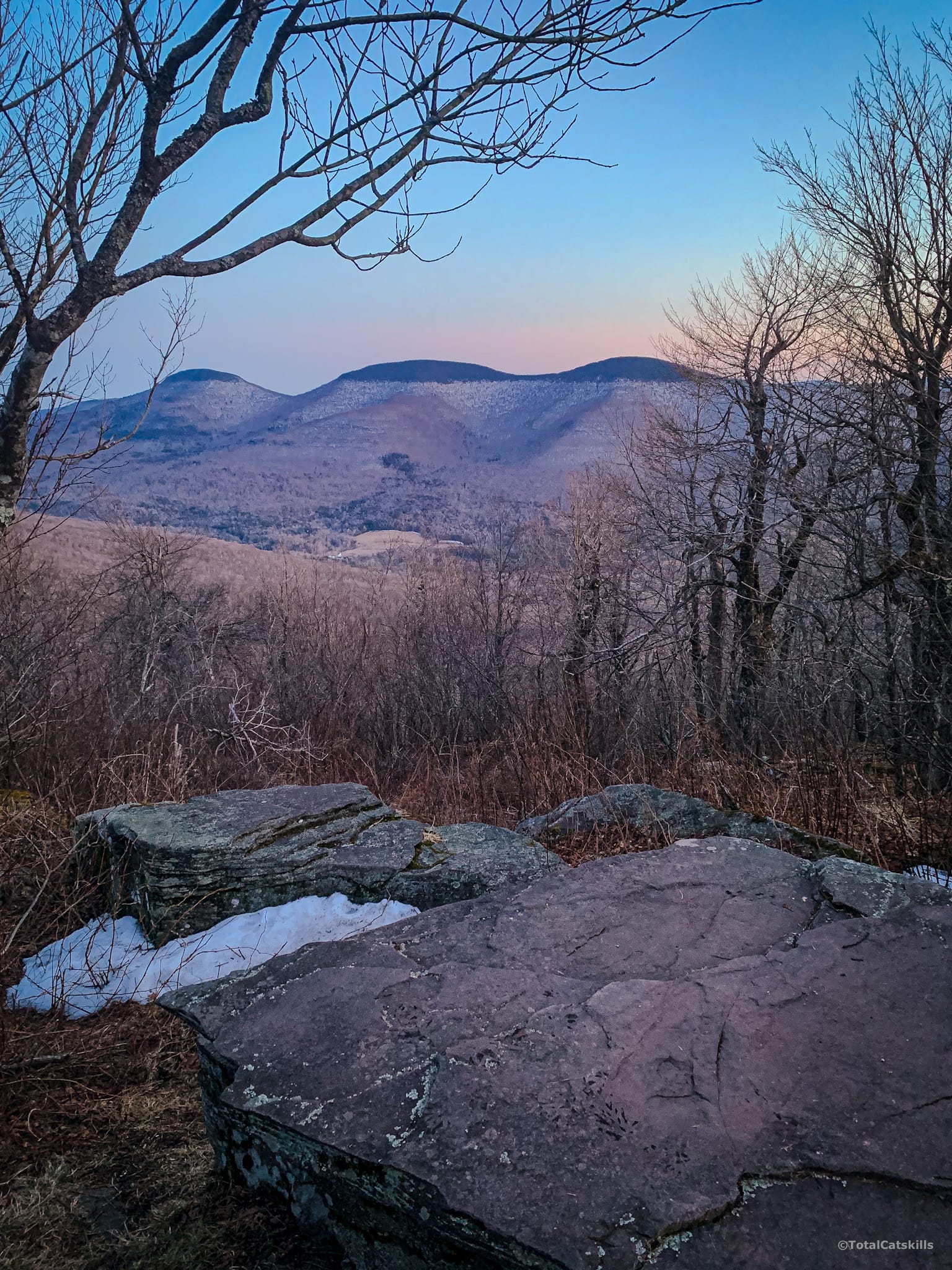
Just below the summit are two excellent lookouts.
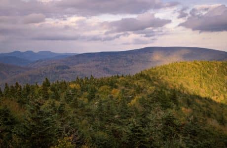
The first is on the right, and looks southeast to this unobstructed and very dramatic view of Blackhead, Black Dome and Thomas Cole.
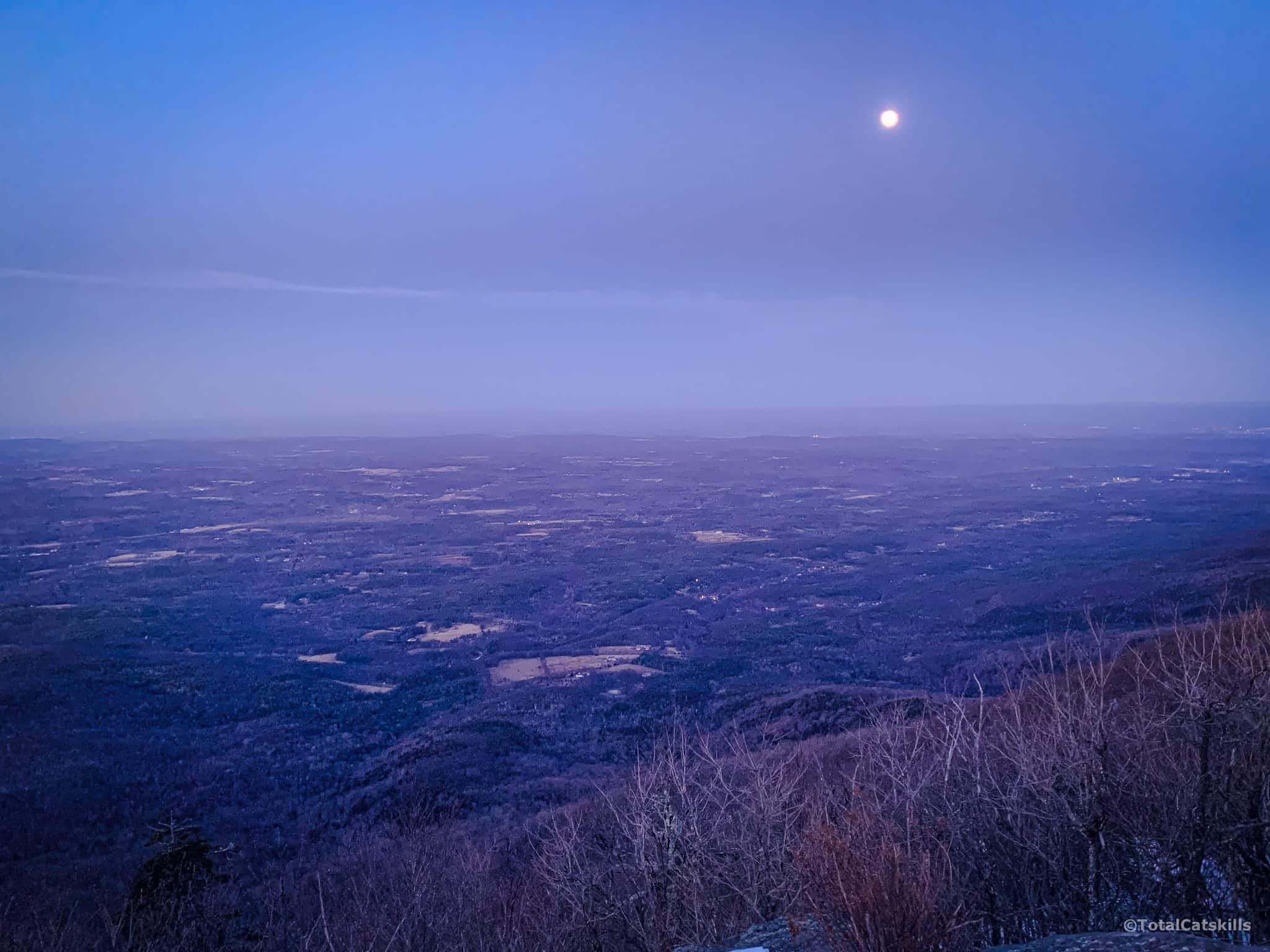
The second lookout is on the left side of the blue trail. It looks out to the north, toward Albany, but also a little to the east where you’ll see Mt Zoar, Ginseng Mountain, Mount Pisgah and Ashland Pinnacle.
Windham High Peak’s Summit
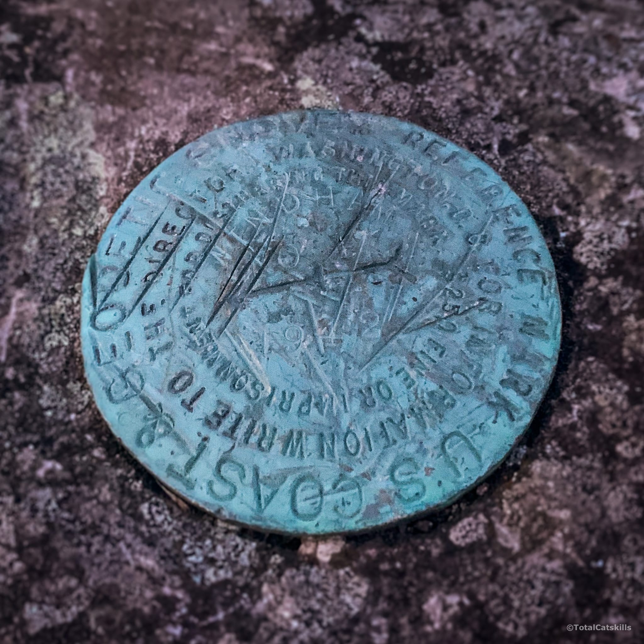
WHP’s summit is long and flat and dominated by stunted, gnarly trees. Look for two geodetic survey markers on the left side of the trail. Below is the second one, which points back to the first.
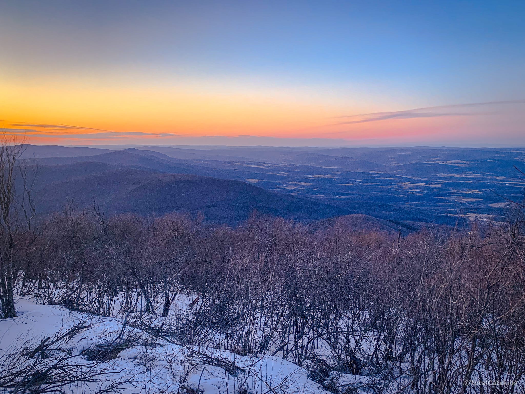
One More Lookout
Now, head past the summit for a minute or two. You’ll come to a small ledge, on the left side of the trail, from which there’s a clear view north to Albany and beyond. On a clear day, you’ll see the southern Adirondacks, and even some of the Green Mountains of Vermont.
From here, you can continue east, down the side of Windham High Peak to get to Burnt Knob & Acra Point and beyond to Blackhead, North/South Mountains, down along the Escarpment Trail, all the way to Kaaterskill Clove.
Or, if you’re done for the day, turn back toward Peck Rd and think about some excellent places to eat nearby.
Similar Hikes
This is one of the most beautiful Catskill hikes that’s accessible to most hikers. It offers excellent scenic views and is suitable for children.
A comparable hike (that’s also easy and also suitable for kids) is the hike to Balsam Lake Fire Tower.
For an alternate route to the col/junction, try the hike to Windham High Peak from Route 23. It’s slightly longer and even lovelier!

Hike Windham High Peak from Peck Road Trailhead
Small-ish lot. Popular spot.
Google Maps Location: 42.296390, -74.169143
The map below shows the exact topographic location of the trailhead
Cell Service
Pretty good throughout, once you get above the col/junction. My network is Verizon. YMMV.
2 responses to “Hike Windham High Peak from Peck Road”
Your comments are welcome here…
The parent mountain for this hike is Windham High Peak.

Our first high peak! This was so much fun. We hiked this in November 2020. Thank you for your clear directions!
Oh, that’s great. Excellent first peak!!