Disclosure: This content may contain affiliate links. Read my disclosure policy.
A steep lollipop route.
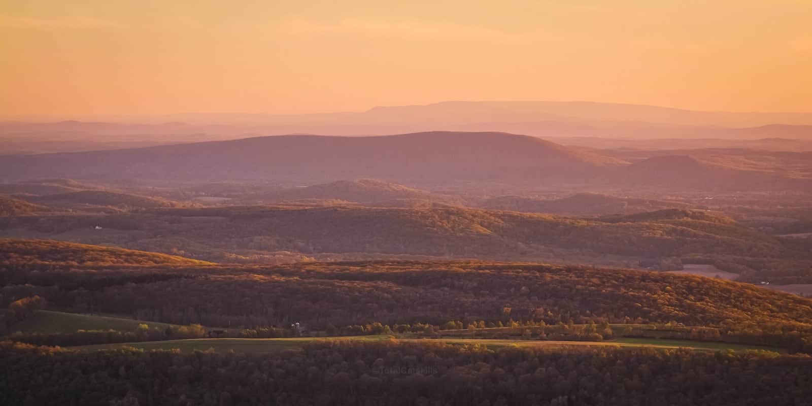
Stissing Mountain protrudes beautifully from the middle of the Hudson Valley flats. Situated smack between The Catskills to the west and the Taconics to the east, Stissing’s fire tower offers superb views of both ranges.
Also on view are two large ponds below, Stissing and Thompson. Thompson Pond is a glacial kettle pond, a National Natural Landmark that’s home to more than 387 species of plants, 162 species of bird, and 27 types of mammals.
This whole area is special. Visit any time of year.
Wildlife is abundant on the mountain, which hunters enjoy, and there’s rich mixed forest all over. You may notice some American Chestnut rootstock hanging on, until a cure is found for the dreaded blight.
This short classic route to Stissing Mountain’s fire tower is do-able in an hour, or maybe a little more.
The route shown here is designated “classic” because a new, very fun trail is currently being constructed up Stissing’s steep southeastern slope. See Stissing from Thompson Pond.
Get access to hyper-detailed trail guides, insider tips, and expert advice. Join a vibrant community of like-minded hikers, receive exclusive content, and embark on unforgettable outdoor adventures. Whether you’re a seasoned outdoor enthusiast or just starting out on your hiking journey, this website provides invaluable resources to help you explore the best trails in the Catskills, Adirondacks, Hudson Highlands, Berkshires, and beyond. Get access now to all content on this website instantly and enjoy unique supporter benefits.
BTW, you might also enjoy…
- NEW › New York Hike Finder Tool
- CATSKILLS › Escarpment Trail Guide
- STAY › Find Your Perfect Catskills Stay
- ADIRONDACKS › Dix Range from Elk Lake
- ENTERTAINMENT › 15 Best & Worst Hiking Movies
- Follow › My Instagram @TotalCatskills
- Follow › My Substack @TotalCatskills
- Follow › My writing for Times Union
Stissing Mountain Classic Hiking Trail
The Stissing Fire Tower loop trail includes…
- Roadside parking
- A steep work-out climb
- Rich mixed forest
- A very tall fire tower
- Amazing views
Allow 60-75 minutes for this hike.
Stissing Mountain Hiking Trail Notes & Gallery
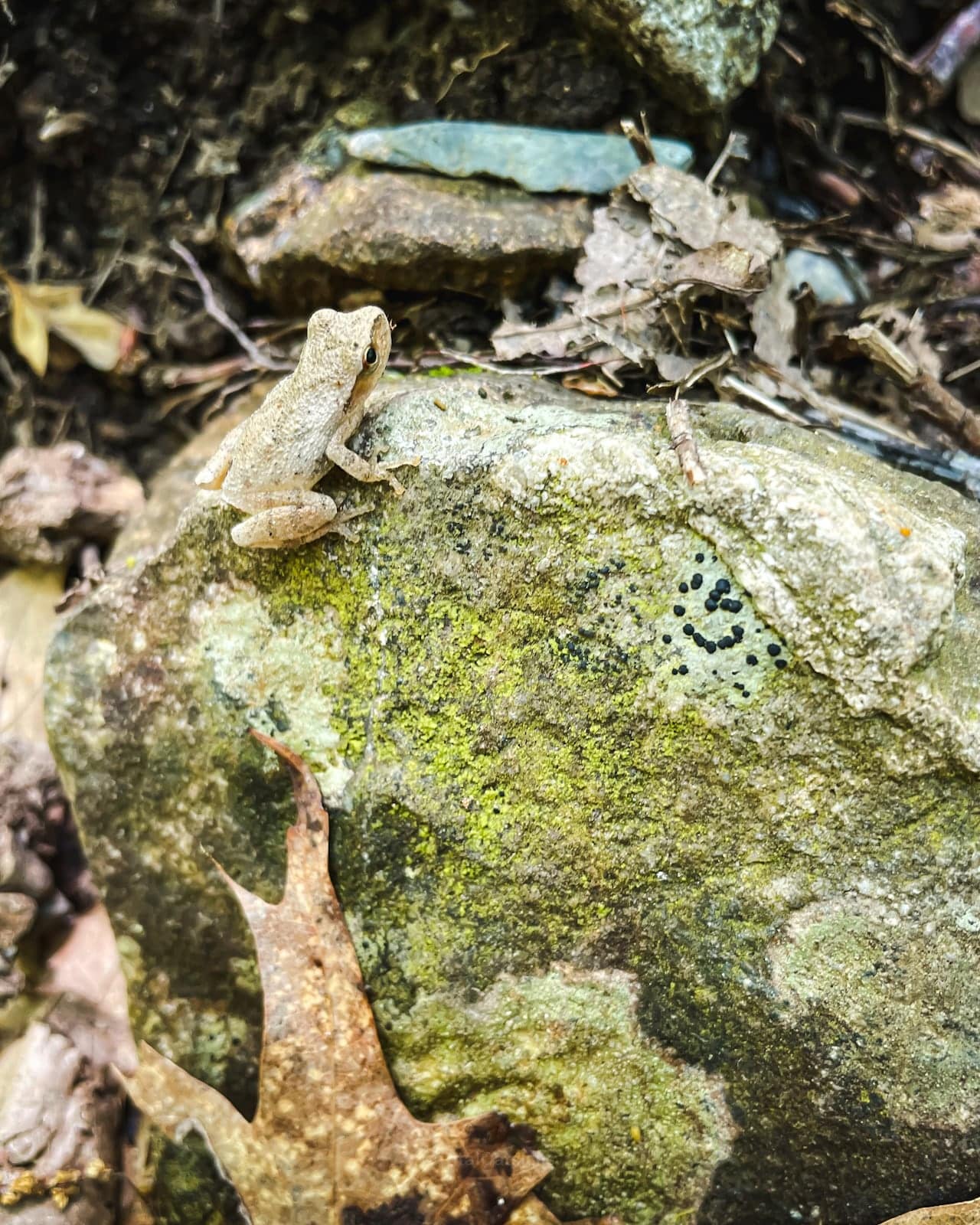
The short 30-40 minute hike to the fire tower is through forest that’s surprisingly rich in wildlife. You may see frogs, snakes, birds, gall wasp galls, even some coyote and bear sign.
Stissing Mountain Fire Tower
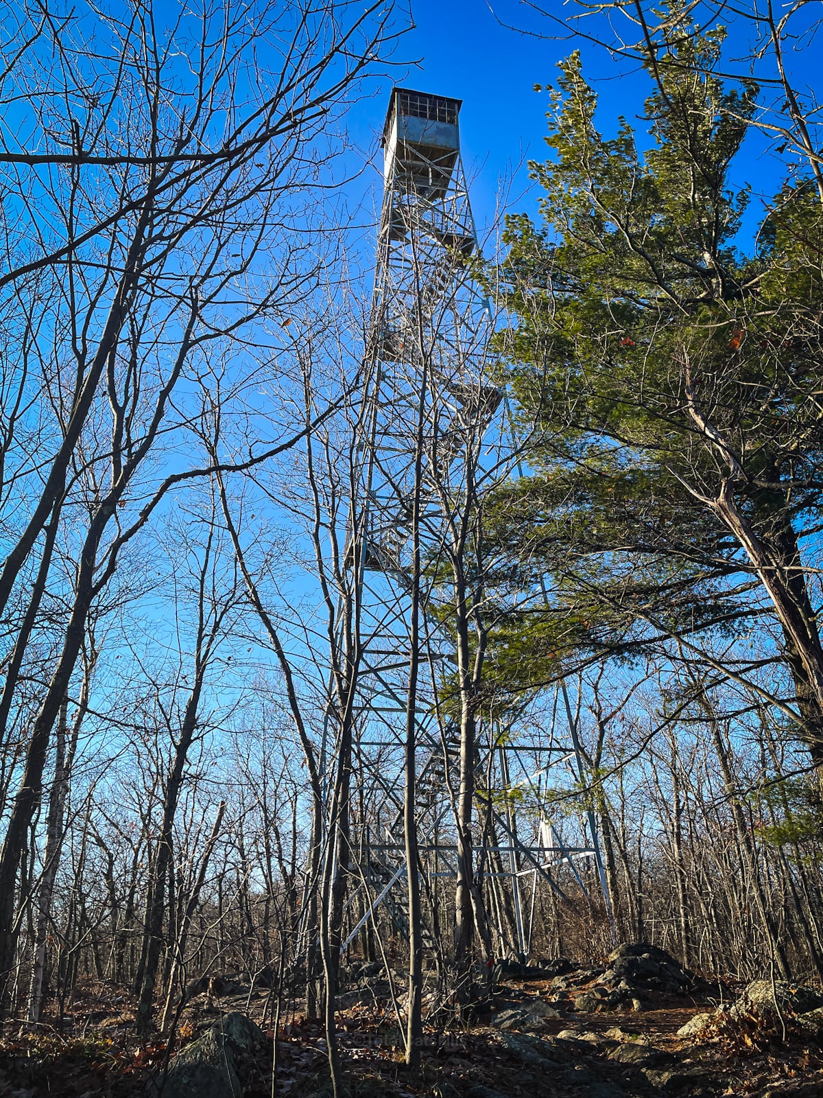
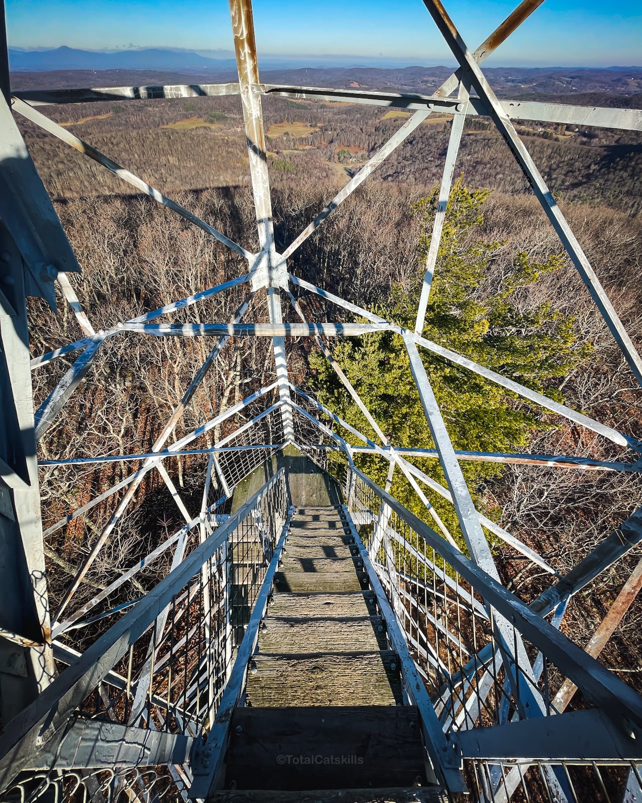
Most fire towers in the region are about 60 feet tall. Stissing Fire Tower is 50% taller. At a glorious 90 feet, you’ll definitely need a good head for heights. But the incredible 360° view from the cabin is worth the extra climb.
Here’s a look inside the fire tower cabin…
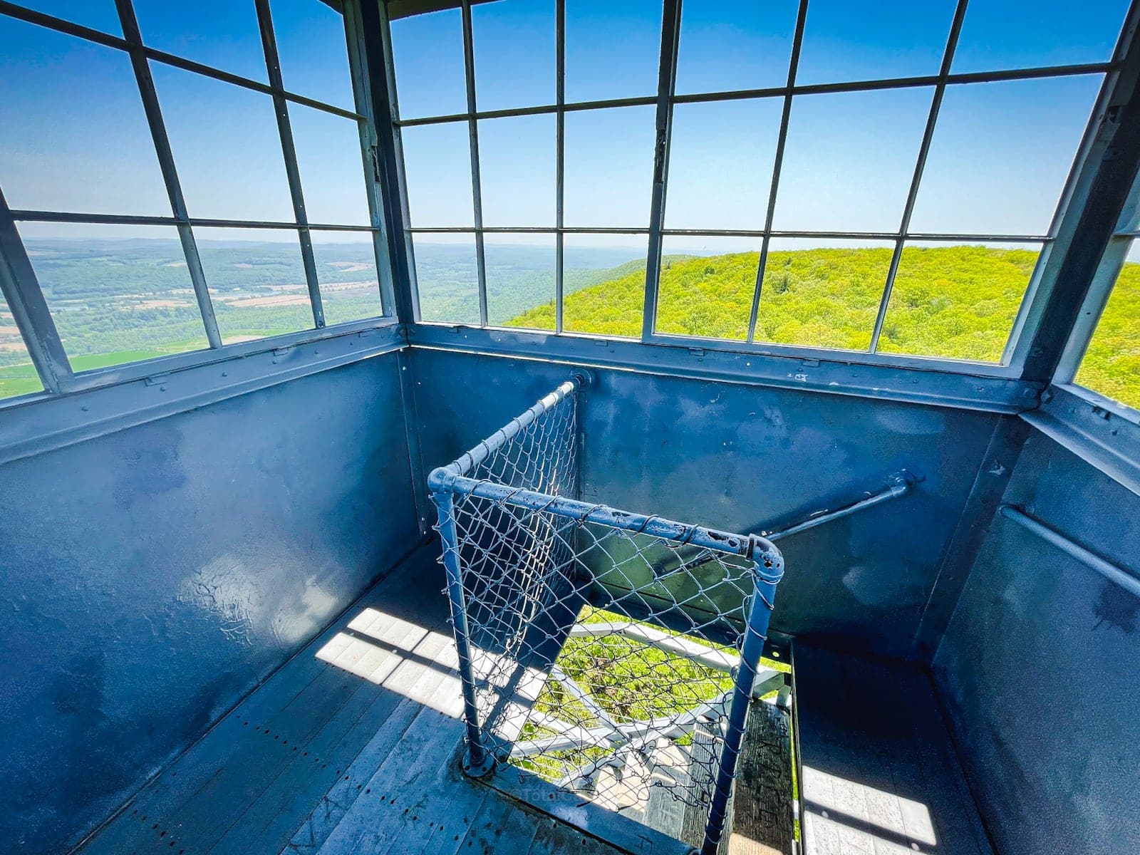
The tower is not near the summit, which you can see further to the south…
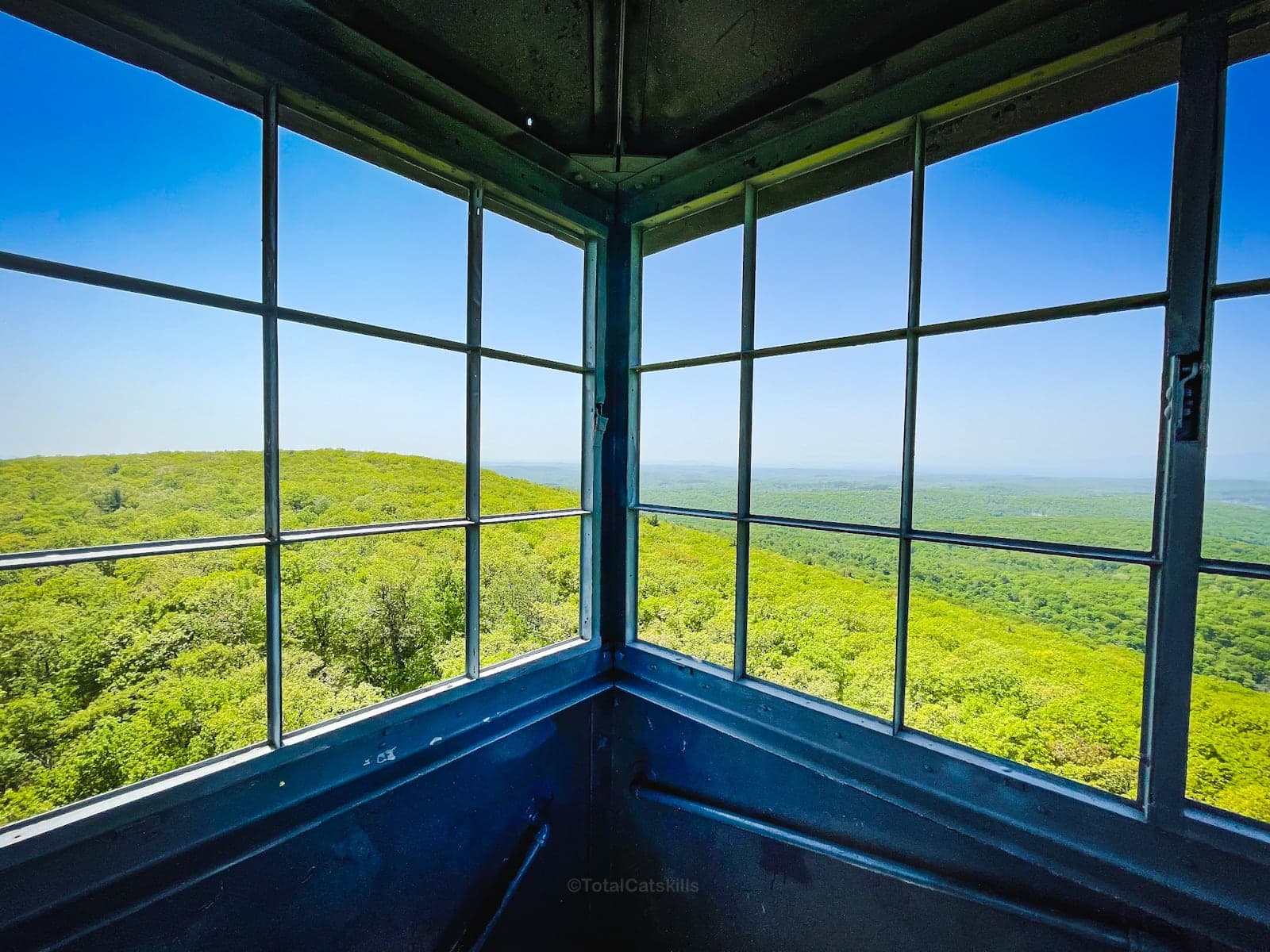
Stissing and Thompson ponds below…
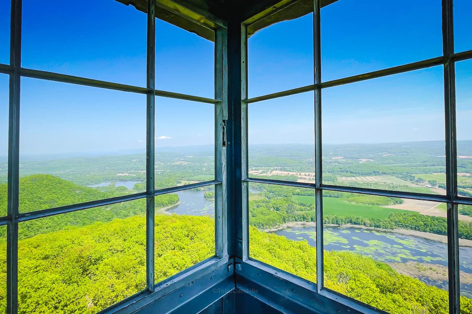
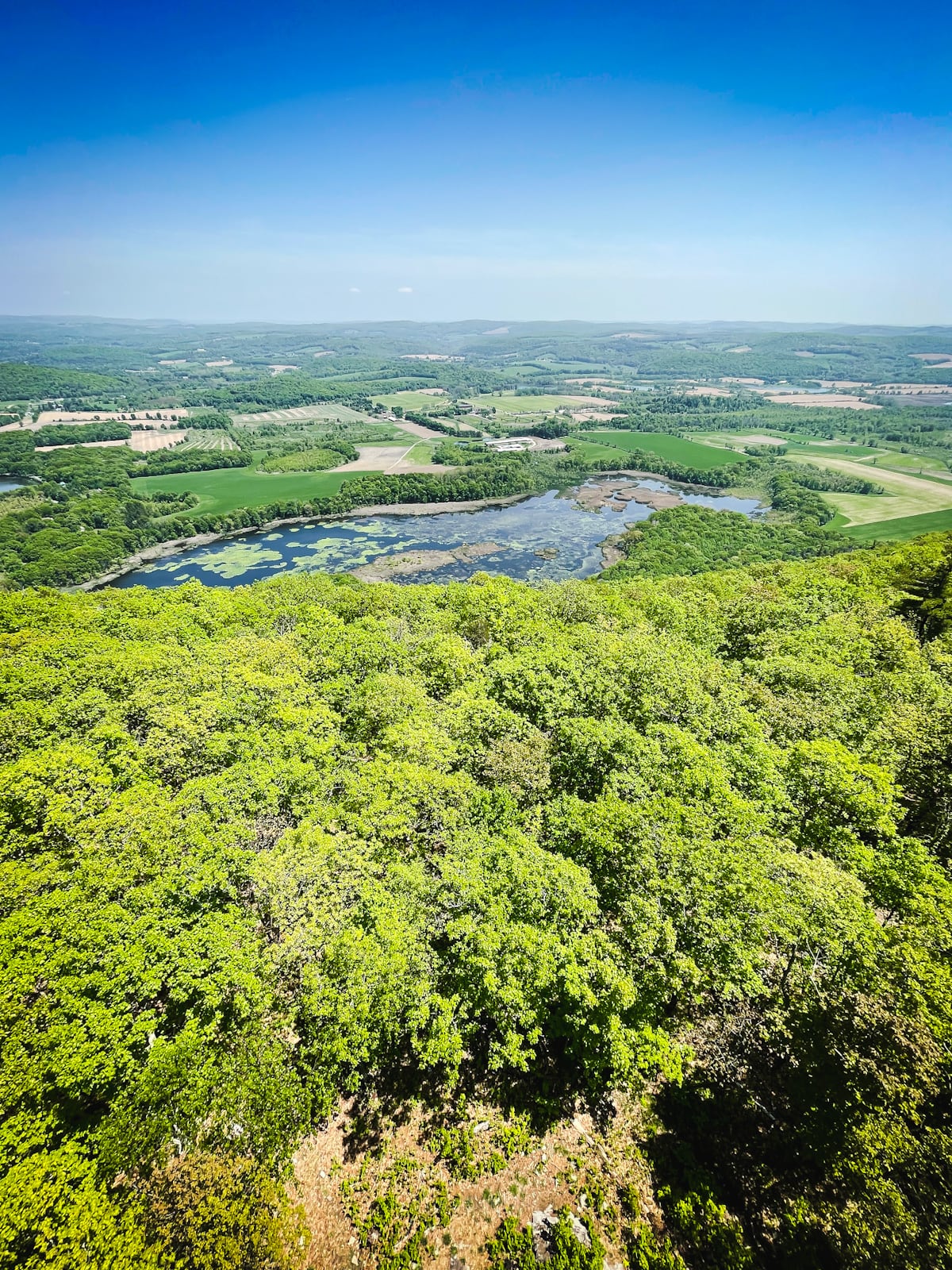
To the north you can see Little Stissing too…
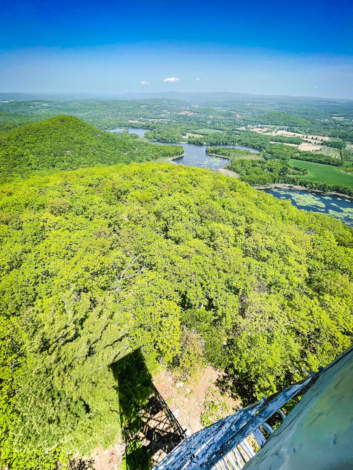
Stissing Pond seen in spring with the Taconics in the background…
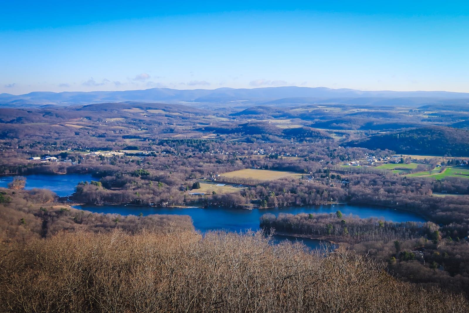
Catskills Views
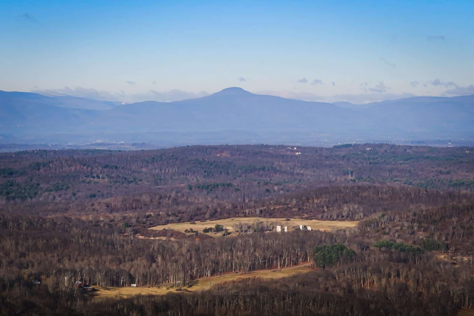
I love these views of The Catskills from Stissing: Ashokan High Point (on the left), Table, Peekamoose, Balsam Cap, Friday, Slide, Cornell, Wittenberg.
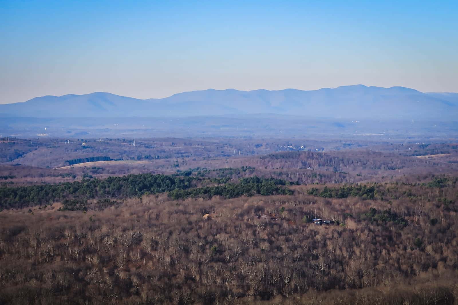
That’s already a lot of mountains. But it goes on…
Here’s Stoppel Point blocking a view of Thomas Cole, Black Dome and Blackhead mountains. Acra Point is to their right (and that’s Cairo Round Top low on the far right).
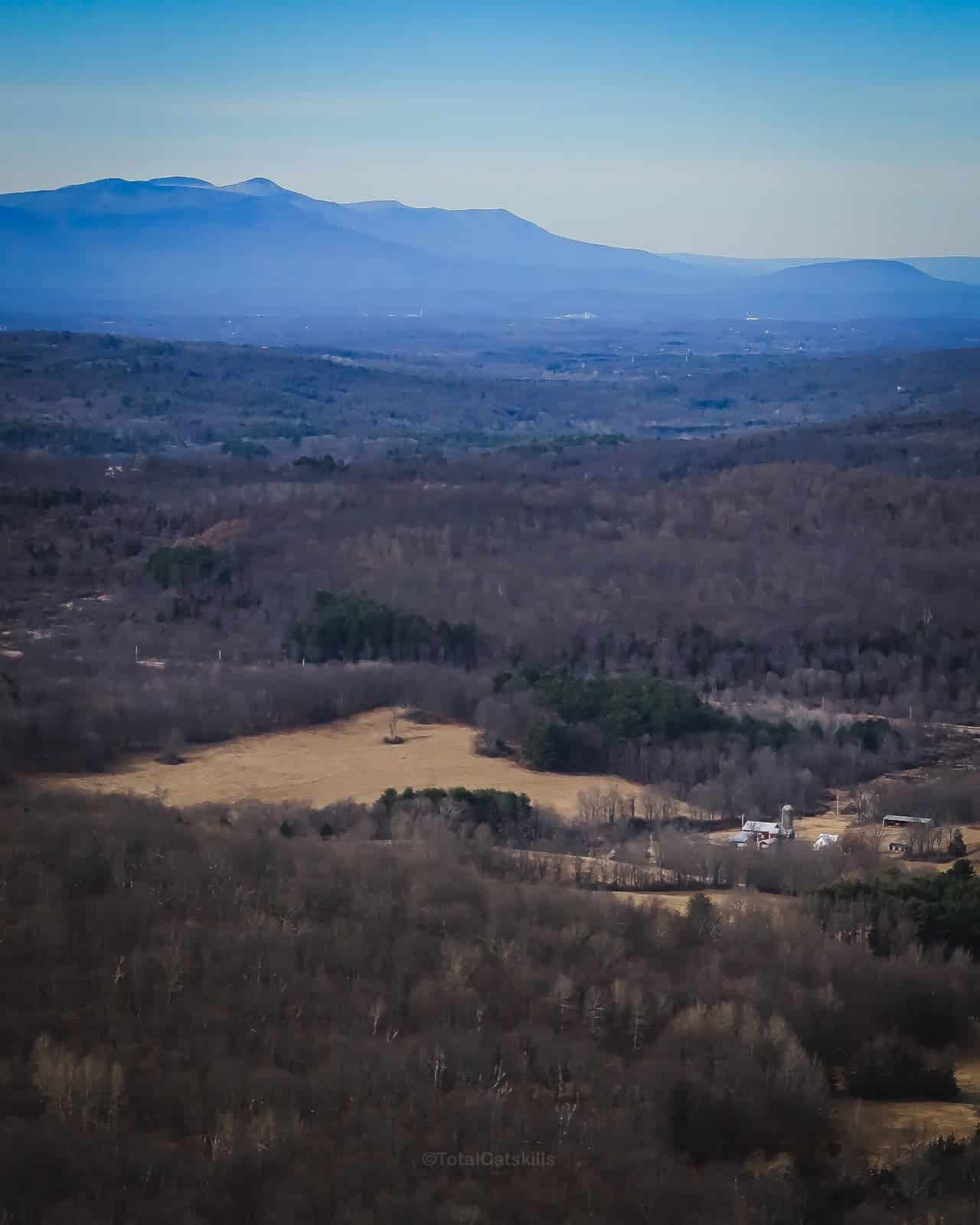
Kaaterskill High Peak is also prominent…
Descend the fire tower carefully and head back to your car.
But the hiking doesn’t have to stop there. If you have time, a very short drive or road-walk south brings you to the entrance of Thompson Pond Preserve for some easy, lovely pond and marsh walking.
Similar Hikes
For a more rugged route to the tower, see Stissing Mountain from Thompson Pond.
See my full list of fire tower hikes.
Read More
Get full access…
Get instant access to the full version of this site and enjoy great supporter benefits: full galleries, full trail notes, early access to the latest content, and more.
Hot on the website right now…
Follow for more…
Follow my @TotalCatskills content on Instagram for regular hiking inspo and safe, inclusive community.
Stissing Mountain Fire Tower (Classic Trail) Trailhead
Smallish roadside lot.
Google Maps Location: 41.970014, -73.682353
The map below shows the exact topographic location of the trailhead
Cell Service
Patchy down low but you’ll have service once you gain some elevation. My network is Verizon. YMMV.
The parent mountain for this hike is Stissing.
