Disclosure: This content may contain affiliate links. Read my disclosure policy.
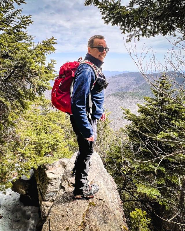
Do you know where Bee Line Mountain is in The Catskills? You’re about to find out…
Guyot Good Grief…
Arnold Henry Guyot (1807-1884) was a Swiss-American geologist and geographer who took the first accurate survey of Catskills summit elevations.
In doing so, he inadvertently proved that Kaaterskill High Peak was not the tallest Catskill, not by a long shot — it’s actually only the 23rd highest — an inconvenient fact that caused uproar in a Catskills tourism industry which had long sold Kaaterskill High Peak to the public as the highest summit.
Guyot was also a strident proponent of scientific racism, anti-Darwinism and pro-creationism. He rose to considerable prominence in the US, and is someone who inflicted much damage on this country through his appointments, public lectures and teacher outreach.
In short, eww.
Guyot’s Catskills Map
But he was the also first person to produce an accurate map of the Catskills. And the was an amazing achievement, with all the data being gathered entirely in person, on foot.
The work is as beautiful as it is quirky.
WikiPedia currently states, “Rusk [mountain] was named by Guyot after Samuel Rusk, who assisted [Guyot] on what would be the first accurate survey of the Catskills in the 1870s and ’80s. There is some evidence, however, that Guyot meant to name what is today East Rusk after Rusk and save Evergreen for today’s Rusk, but got confused with his maps.”
This rings true. Guyot’s 1879 map also confuses Cornell and Friday mountains. (And he doesn’t seem so sure about Lone/Rocky either.)
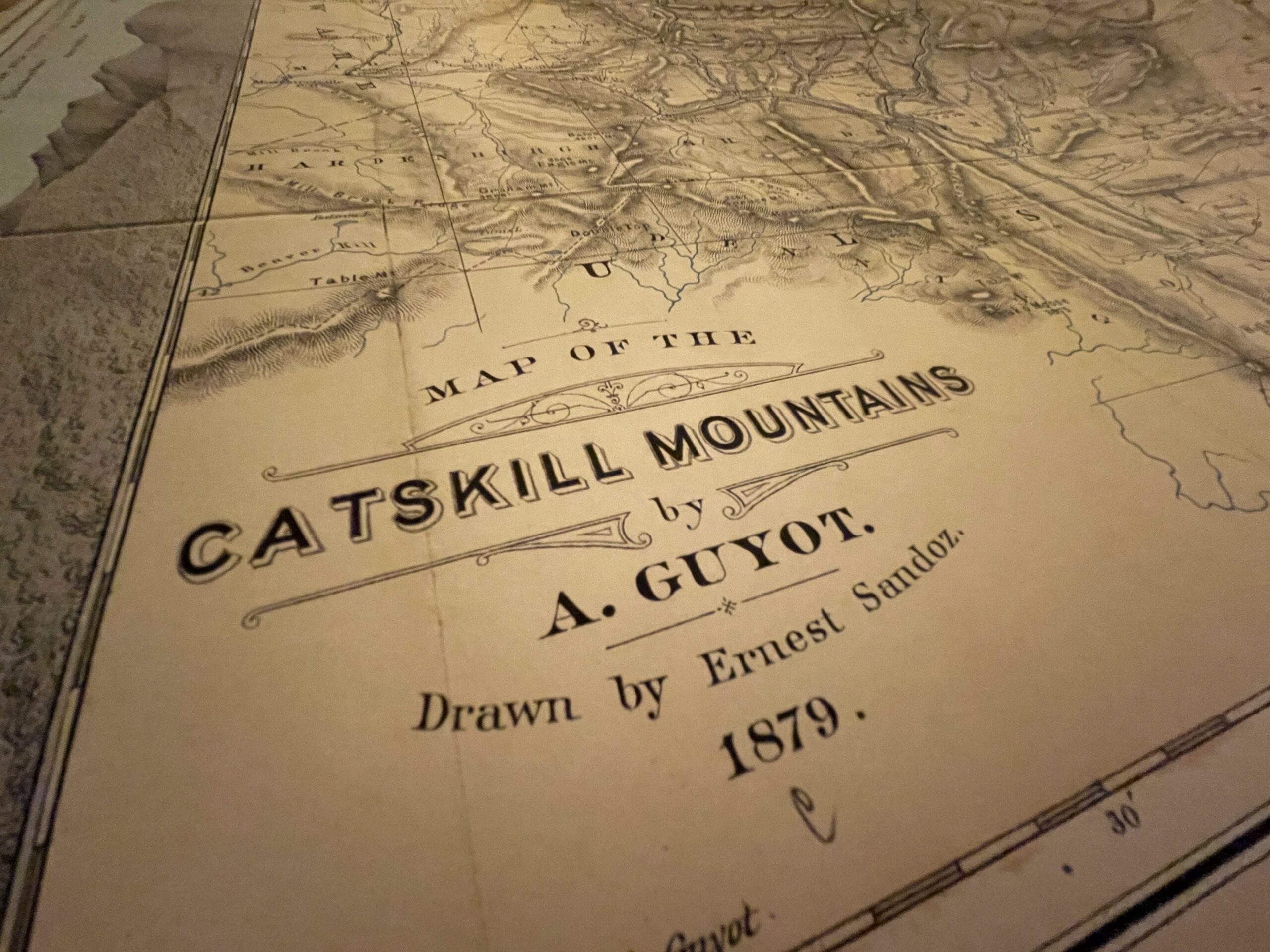
Arnold Guyot’s Map of the Catskill Mountains 1879
Drawn by Ernest Sandoz
This 5-minute video goes over some of the basic details on the map, all of which are completely wonderful.
Did you know Sugarloaf Mountain used to be called “Mink”? And that Plateau was called “Stony Mountain”?
Guyot names many spots with words we no longer use. The map also includes roads, railroads, and early settlements like Kingston.
But it’s the mountains, notches and hollows that are most fascinating for Catskills hikers. And there is so much to absorb…
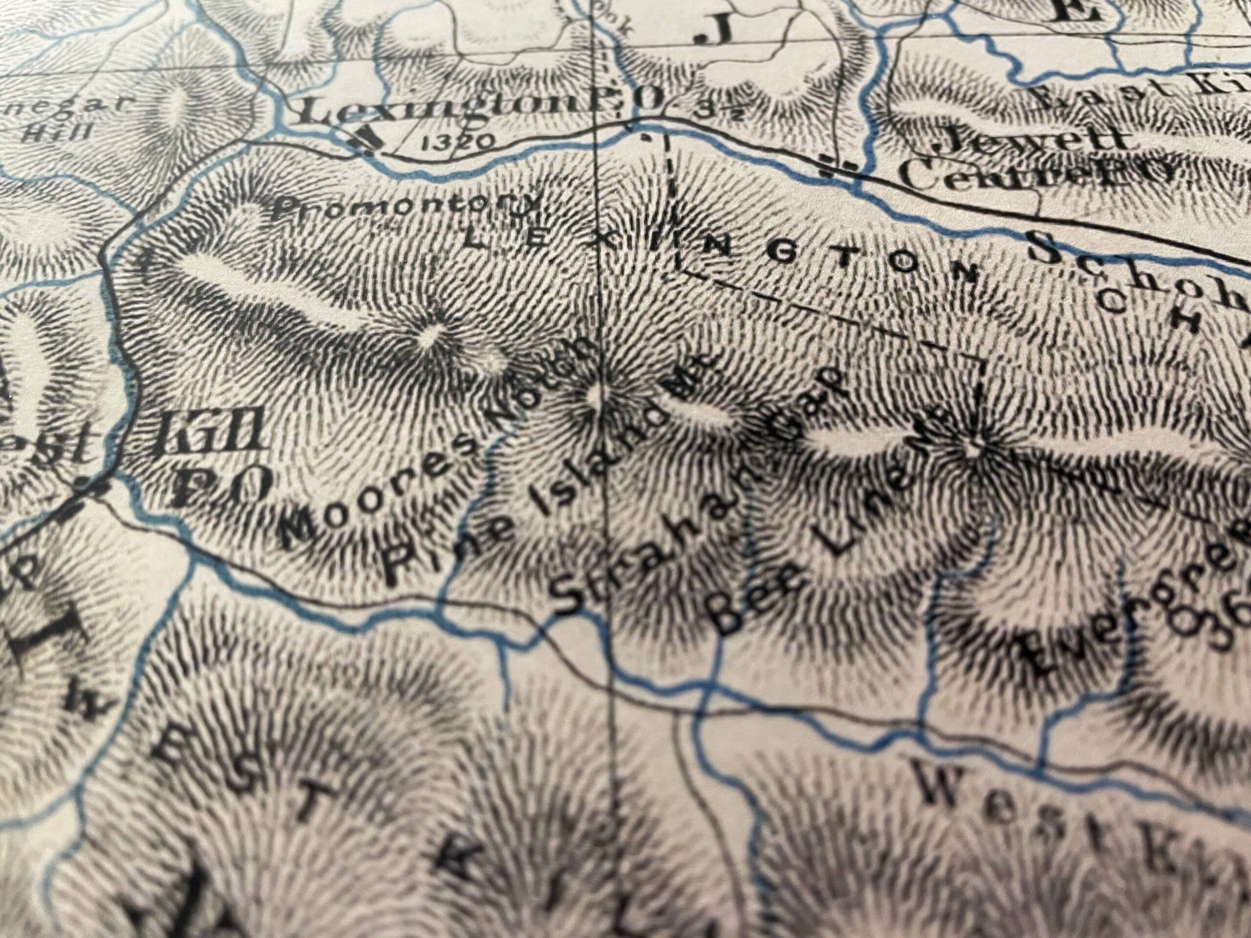
Guyot names East Rusk, Rusk. And he names Rusk, Evergreen. (The names are shifted over one mountain each.)
What we now call Evergreen Mountain, Guyot called Bee Line Mountain.
The map is full of details like this. It’s an amazing document.
Video

I hope you enjoyed this quick look at this amazing map. I have a much deeper dive into Catskills maps planned for later this year.
Source Material
I was gifted a print of this map for Christmas by my wife. She got it from RetroPrintmaker on Etsy. Here is the link for the version I have. We have no affiliation with this seller, and receive no kick-back for this link. I was just so jacked about this map, I made a video about it.
Read More
Get full access…
Get instant access to the full version of this site and enjoy great supporter benefits: full galleries, full trail notes, early access to the latest content, and more.
Hot on the website right now…
Follow for more…
Follow my @TotalCatskills content on Instagram for regular hiking inspo and safe, inclusive community.