Disclosure: This content may contain affiliate links. Read my disclosure policy.
A long but easily-navigable route.
Trailhead info at bottom of this post.
Hiking Trail Description
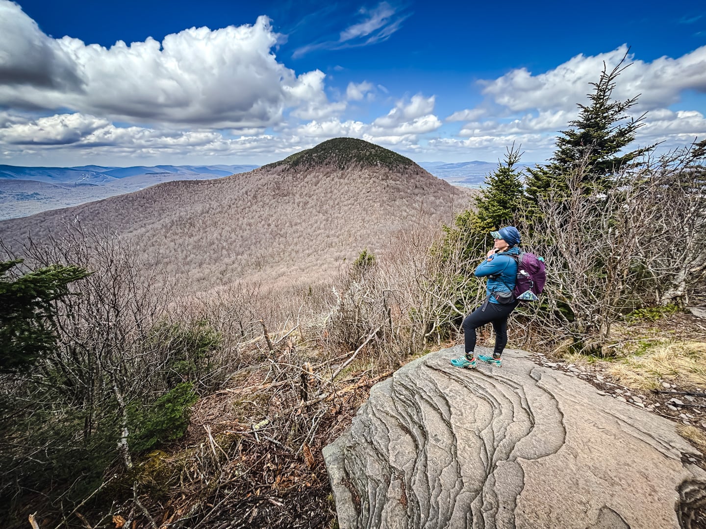
The Blackhead Range Horseshoe hike is one of the very best days a strong hiker can plan in the Catskills.
With some of the finest trails in the entire Catskills Park, and some of its most memorable views, this is a very special route. There are some technical sections of Class 3 scrambling, with the north slope of Blackhead, heading down, being the trickiest.
This route, starting at Barnum Road and finishing at Peck Road, tackles the biggest and toughest mountains first. Regardless, your legs will definitely be feeling the day as you descend Windham High Peak.
Technically, this hike is not as challenging as the Eastern Devil’s Path but it’s a long day and you will need plenty of food, water, and electrolytes to have an enjoyable experience.
Frequently Asked Questions
How long does it take to hike Blackhead Range Horseshoe
Allow 8-11 hours for this hike. This hike is long enough to make everyone’s pace affect total trail time. There are plenty of scenic spots to rest along the way.
What is the elevation gain for Blackhead Range Horseshoe
The elevation gain for this route is apx 3,700 feet / 1,130 meters.
Blackhead Range Horseshoe Hiking Trail Guide
The Blackhead Range Horseshoe hiking trail includes…
- Two trailheads, necessitating a car or bike shuttle
- Some of the finest trails in the Catskills
- Fun rock scrambles, up and down
- Very dramatic scenic views from several lookouts
- Spruce plantations on your way out
A full breakdown is provided below in my hike notes, with lots of photos and my AllTrails route.
BTW, you might also enjoy…
- UPDATED › Best Bug Spray & Bug Repellent for Hikers
- CATSKILLS › Peakbagging The Catskills High Peaks (Ultimate Guide)
- STAY › Find Your Perfect Catskills Stay
- ADIRONDACKS › Wright, Algonquin & Iroquois Peaks
- LEARN › Teach Yourself How to Use a Compass
- ENTERTAINMENT › Best & Worst Hiking Movies
- Follow › My Instagram @TotalCatskills
- Follow › My Substack @TotalCatskills
- Follow › My writing for Times Union
Blackhead Range Horseshoe Trail Notes & Gallery
Your first summit is the delightful Camel’s Hump, seen here with its delightful summit Christmas tree on the way out to Thomas Cole…
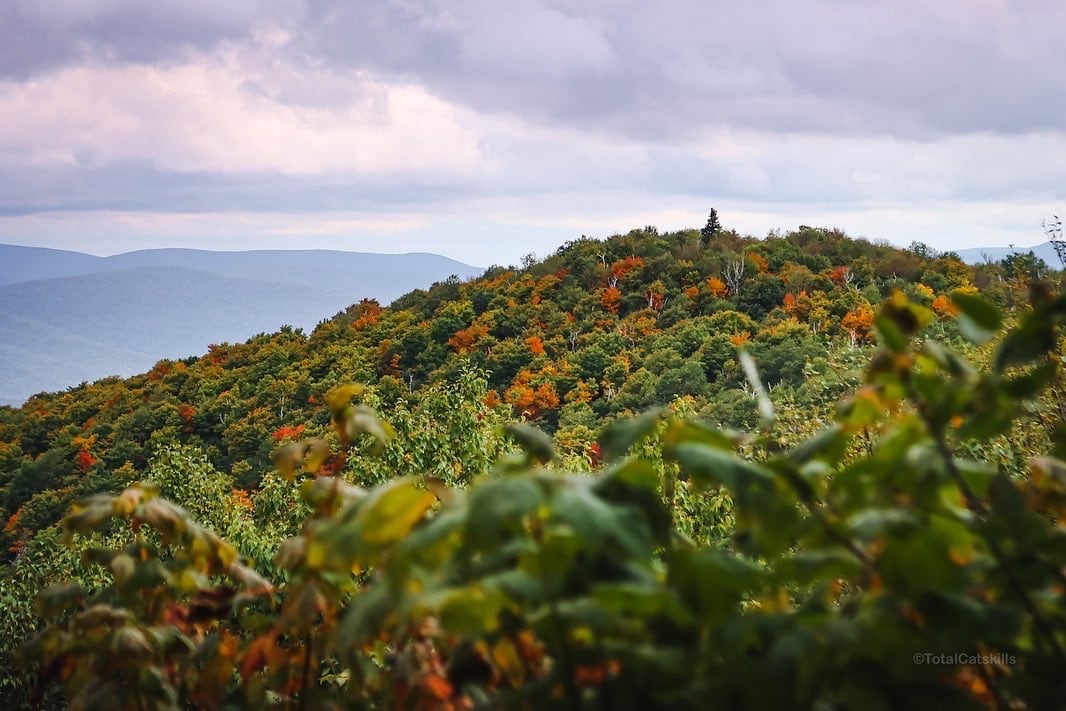
I love Thomas Cole because, while the summit is unremarkable, it has one of the most beautiful ledges in the Catskills. This ledge has a bonsai quality to it…
 You’ve got the basic details, but there’s so much more…
Unlock this site now to get complete intel on every route, including my full photo galleries, personal insights and tips. Elevate your next hike with deep trail beta. Experience hundreds of amazing routes at their absolute finest. With Mountain-Hiking.com, you’re not just skimming the surface.
Sean

Read More
Get full access…
Get instant access to the full version of this site and enjoy great supporter benefits: full galleries, full trail notes, early access to the latest content, and more.
Hot on the website right now…
Follow for more…
Follow my @TotalCatskills content on Instagram for regular hiking inspo and safe, inclusive community.

Blackhead Range Horseshoe Trailhead
Small roadside lot, stay clear of local homes.
Google Maps Location: 42.264115, -74.176884
The map below shows the exact topographic location of the trailhead
Cell Service
Good at elevation, not much down low, patchy in between. My network is Verizon. YMMV.
The parent mountain for this hike is Blackhead.