Disclosure: This content may contain affiliate links. Read my disclosure policy.
A difficult route made even more difficult
Hiking Trail Description
This intense route is a great way to make a difficult bushwhack even more difficult.
Adirondack day hikes are typically harder than Catskills day hikes — they are 23% more difficult according to my own pace comparisons.
But any hike over North Dome and Mount Sherrill calls for a big effort.
Tackling North Dome and Mount Sherrill together ranks as a tough day on any scale. Adirondack hikers are often surprised by how difficult this hike can be — because Adirondack bushwhacks are not typically true bushwhacks.
If you don’t tackle North Dome & Mount Sherrill as a through hike, you have to re-climb one or the other peak on your way out.
Unless you try to outsmart the mountains…
North Dome & Mount Sherrill and Hagadone Hollow
This very challenging route includes…
- A beautiful walk in along the Devil’s Path trail
- The classic ascent up North Dome’s crazy ledges
- A great scenic view from the east side of North Dome
- A fantastic rock portal on the west side of North Dome
- A quick ascent up Mount Sherrill
- A slow, steep, bullshit descent down North Dome
- A very memorable walk out through Hagadone Hollow
- A short car shuttle or road walk at the end
This route is suitable for experienced hikers with excellent backcountry navigation skills and a ton of stamina.
North Dome & Mount Sherrill Notes & Gallery
Friends and I did this hike on the last day of April, before North Dome’s nettles had come in for the season. We didn’t need to pull out our spikes, but there were patches of ice still clinging to the mountains in a few shady spots. (In The Catskills, I carry my mircospikes well into May.)
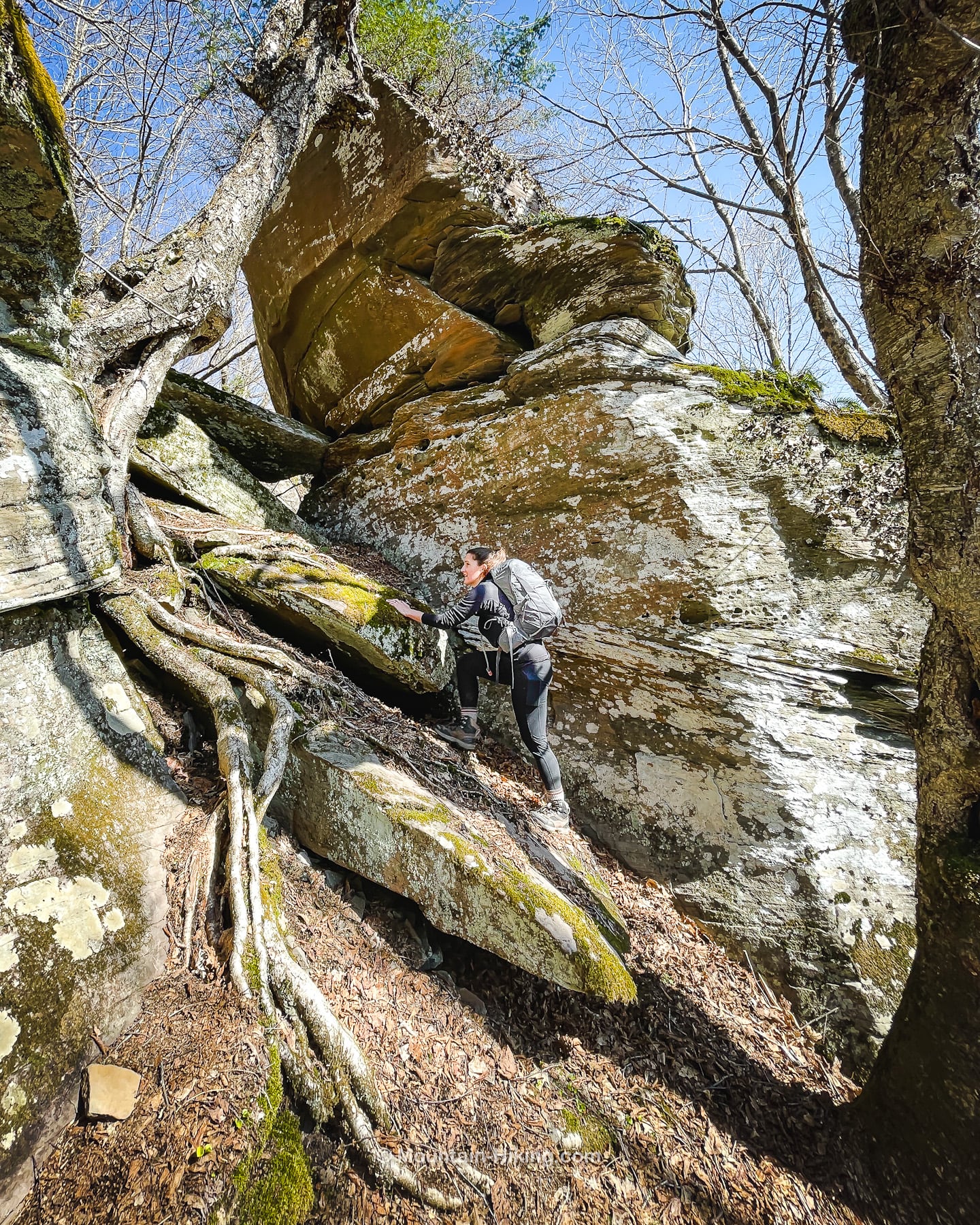
The bushwhack part of this route jumps off from the Devil’s Path at the junction signposts right before the trail heads east, up over St. Anne’s Peak. We rock-hopped our way across the swampy section and climbed North Dome’s via the ledges. You can read my previous notes on North Dome’s ledge system.
This is one of my favorite spots on the way up…
After about two hours, we found the amazing lookout on the side of North Dome. Find your way to the herd paths (just below 3500’) which lead very quickly to a fantastic open ledge…
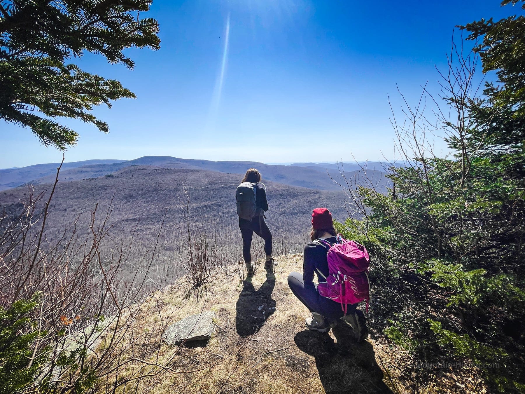
I’d wanted to get here for a while and the view didn’t disappoint. The ledge looks down across Timber Lake Camp toward the Burroughs Range.
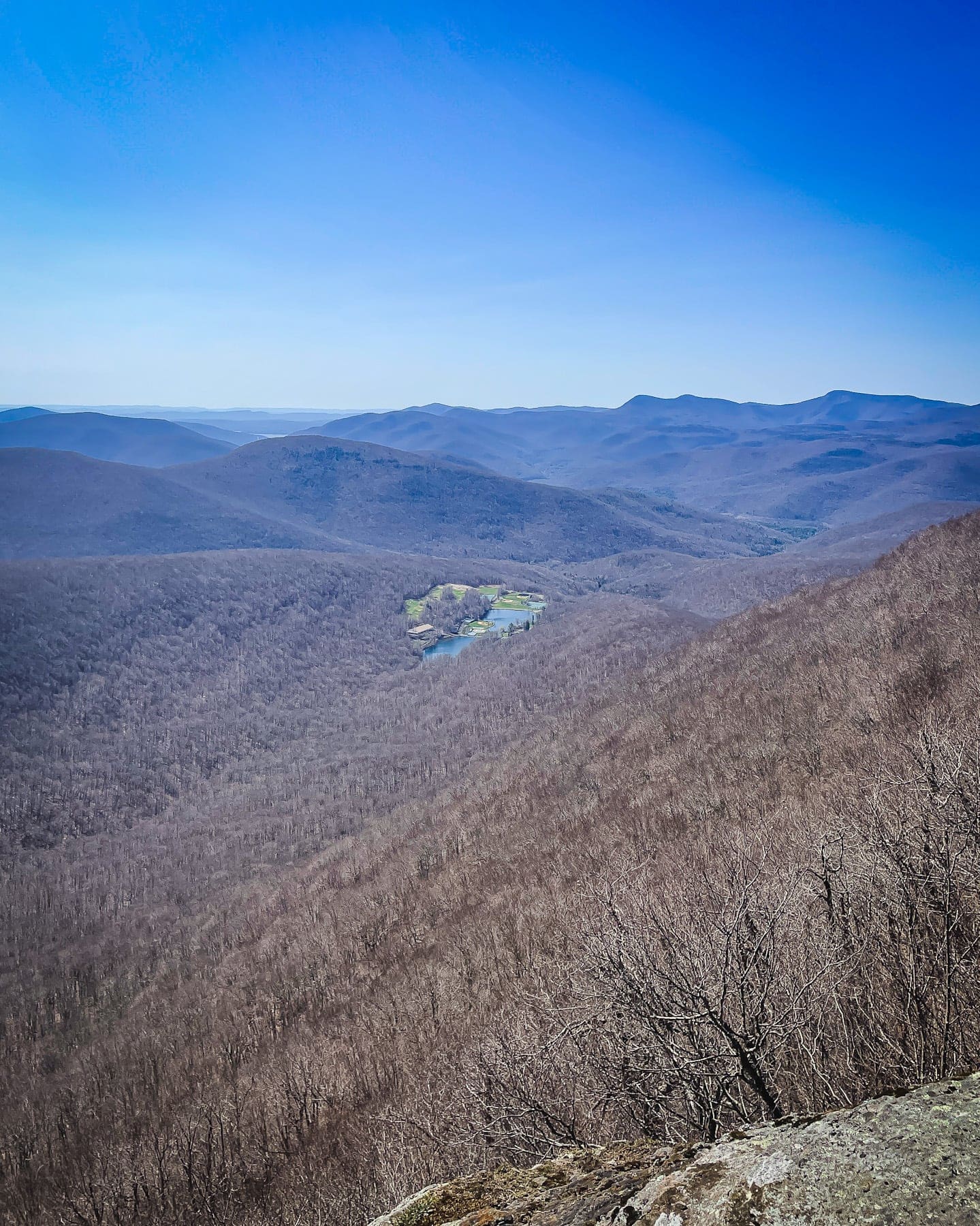
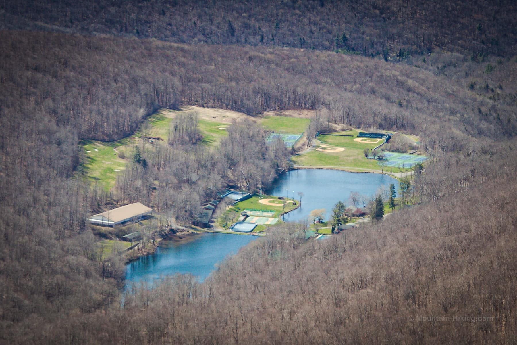
From here, we headed back to the main herd path — now very well established — which leads to the summit. Follow the rule of up and, in about 10 minutes, you’ll find yourself at North Dome’s canister and survey marker.
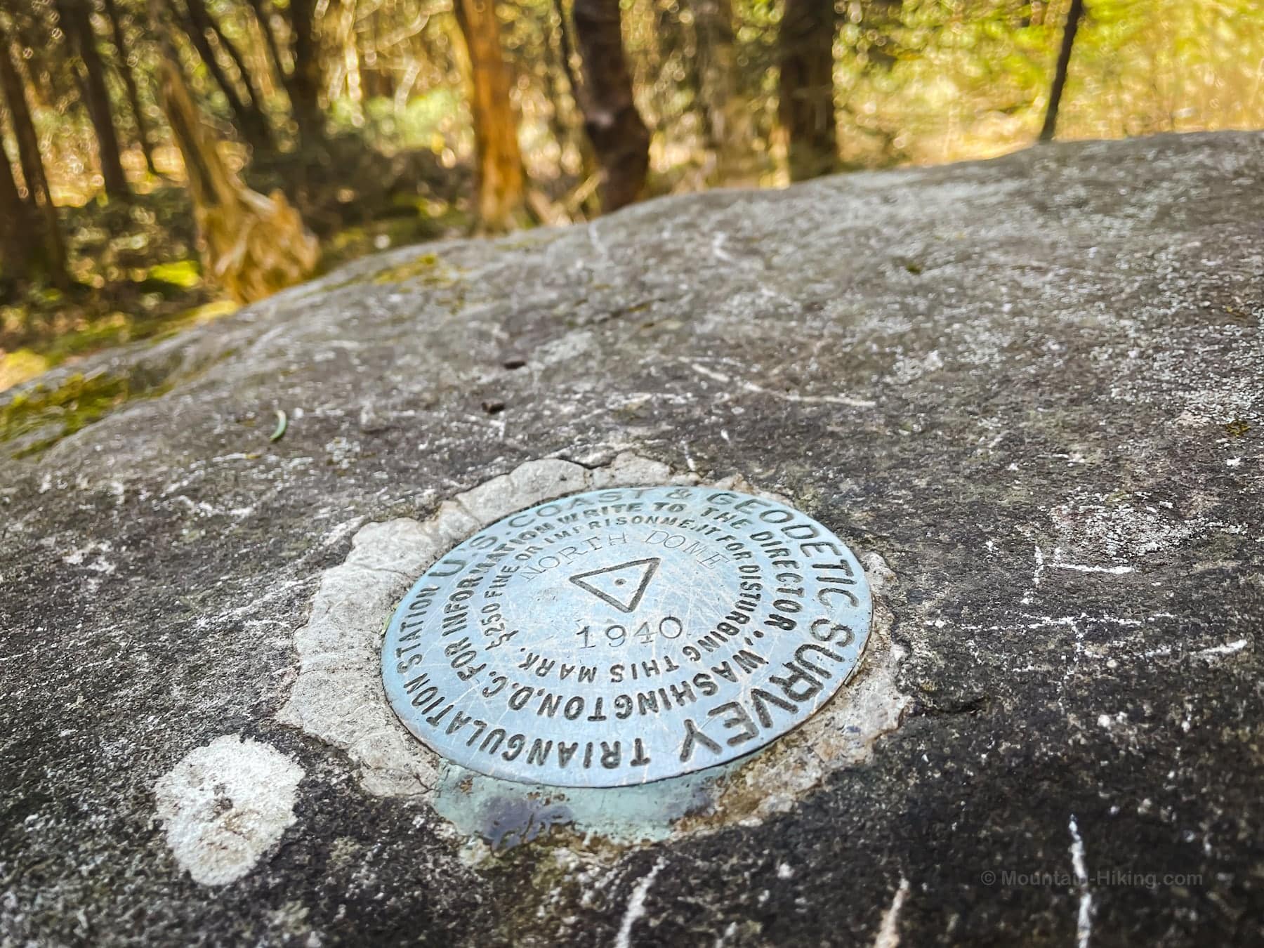
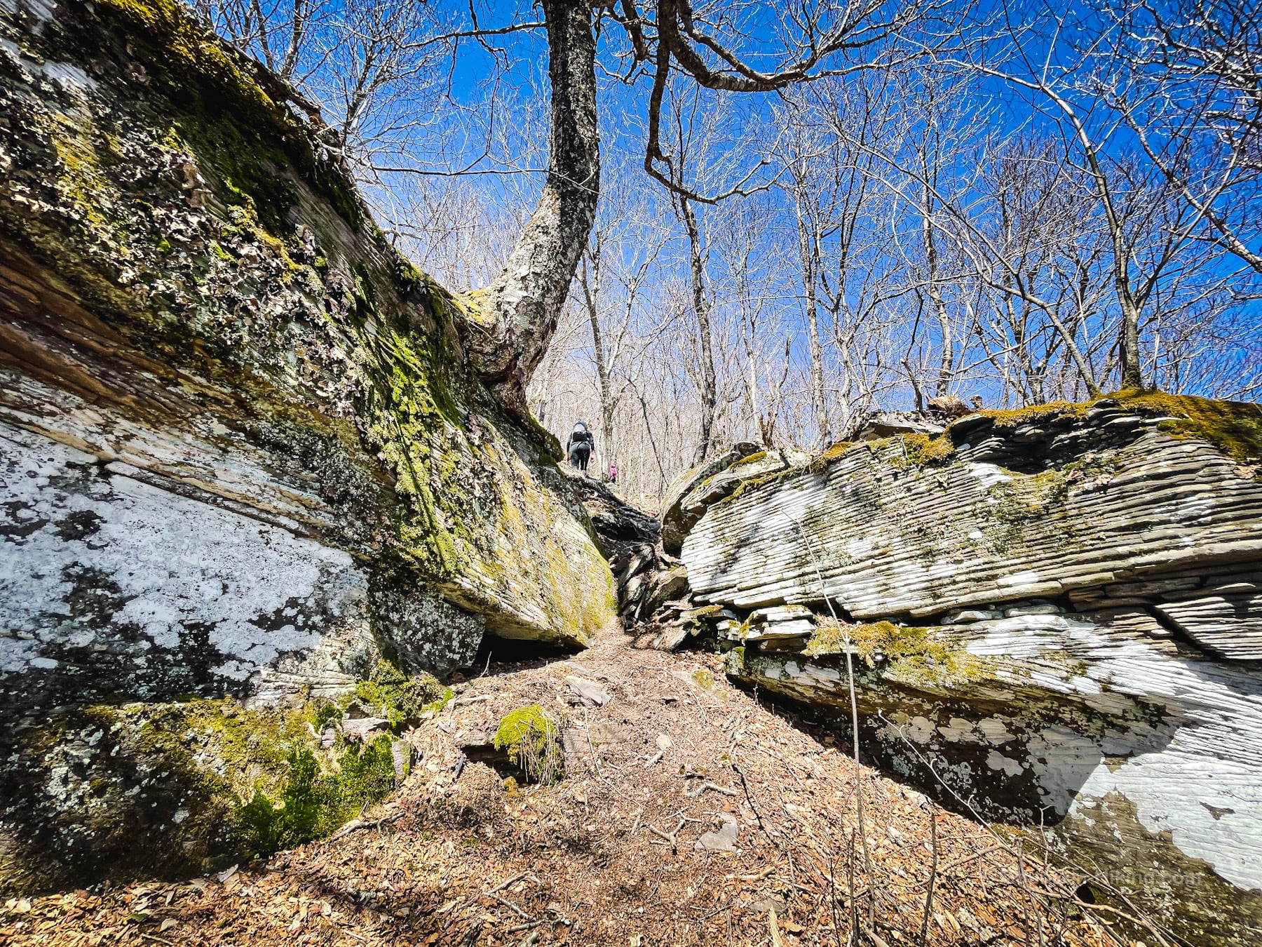
From here, we made our way across to Mount Sherrill, passing through this super fun rock chasm on the way…
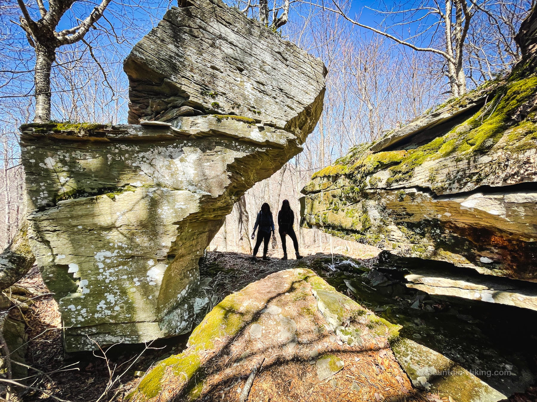
This chasm is almost in the col between North Dome and Mount Sherrill, on the North Dome side.
Mount Sherrill
From the col, the hike up Mount Sherrill doesn’t take long. The herd path is very well developed these days.
Including a break at the scenic ledge on North Dome, on this day, it took us about 3½ hrs to get to the summit of Mount Sherrill.
The “quick route down” I had planned for our exit looked like an easy way to get off the mountains, cleverly avoiding a re-climb of North Dome. Oh-so-clever.
In reality, it was an exhausting 2½ hour descent…
Hagadone Hollow
If you get to this page because you Googled “Hagadone” you are a huge Catskills hiking nerd and I love you.
The following content is accessible to my Patreon subscribers who kindly support this independent website. Get full access to every post on this site instantly. Support local, independent content and enjoy great supporter benefits: full galleries, full trail notes, early access to the latest content, and more.
Why get just the highlights when you can immerse yourself in every layer of the journey? With Mountain-Hiking.com, you aren’t merely skimming the surface; you’re delving into a passionate hiker’s in-depth experience.
Become a Patreon supporter today and elevate your hiking adventures with comprehensive insights and stunning visuals. Experience trails like never before!
Similar Hikes
I would consider re-doing this route in reverse: hiking up from the Fisherman’s Lot through Hagadone Hollow, first doing Mount Sherrill, then hiking over North Dome, and finishing up via the very lovely final 1.5 mile section of Devil’s Path.
Any hike up North Dome & Mount Sherrill is an adventure. You can do it as an out-and-back, a loop, or a thru-hike. However you do it, prepare for a long day in the woods.
The bushwhack to Rocky via the Fisherman’s Path is comparably difficult and challenging.
You might also enjoy this list of all bushwhack hikes and a finer subset of true bushwhack hikes like this one.
Read More
Get full access…
Get instant access to the full version of this site and enjoy great supporter benefits: full galleries, full trail notes, early access to the latest content, and more.
Hot on the website right now…
Follow for more…
Follow my @TotalCatskills content on Instagram for regular hiking inspo and safe, inclusive community.
North Dome, Mount Sherrill & Hagadone Hollow Trailhead
Hike from one small lot to an even smaller lot.
Google Maps Location: 42.191983, -74.324757
The map below shows the exact topographic location of the trailhead
Cell Service
Signal up high, but patchy. No signal down tow. My network is Verizon. YMMV.
The parent mountain for this hike is North Dome.

