Disclosure: This content may contain affiliate links. Read my disclosure policy.
A very rough and tumble loop
Hiking Trail Description
The Catskill 9 is an intense and rewarding ultra hike that links together some of the most rugged, remote, and wild terrain in the Catskills.
This intense loop hike tags several of the most beautiful peaks in the Catskills, as well as some of the most elusive. There is no set order, no official route, but a sensible approach for a first attempt is this counter-clockwise order:
This is a demanding route with a mix of trail, well-worn herd path, and full-on true bushwhack.
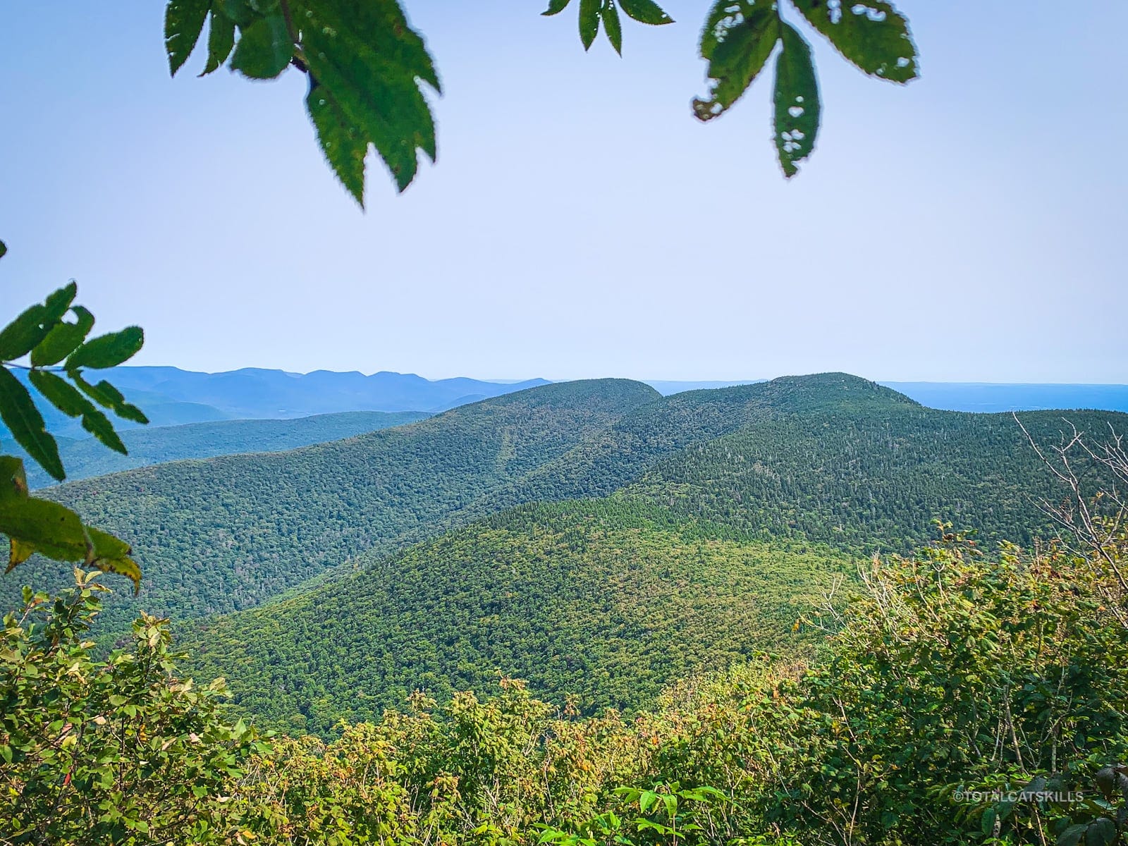
This guide describes a loop beginning and ending at the main Slide Mountain trailhead on Route 47. This route takes in a total of 10 named summits — nine high peaks plus Dink — and covers steep ascents, rough descents, ladders, boardwalks, extremely dense forest, epic ledges, as well some of the most beautiful views and terrain in the Catskills.
While the route includes well-marked trails at the beginning and end, tackling the central bushwhack mountains requires skilled off-trail navigation. This is especially true between Lone and Balsam Cap where sections remain true bushwhack territory; it’s so easy to lose the herd path between Lone and Balsam Cap. Safety googles are recommended in case you get off track.
This hike is best suited to experienced hikers with strong backcountry navigation skills and a willingness to bushwhack through dense forest and unpredictable terrain.
Frequently Asked Questions
What is the most difficult hike in the Catskills?
It’s a toss-up between any variation of the Catskill 9 and the Devil’s Path.
How long is The Catskill 9?
Estimates range from 19-21 miles, depending on… things. Typical phone GPS systems regularly clock route this at 20 miles, but there’s a lot of variability depending on the device, the app, and the exact route taken during the central bushwhack section.
BTW, you might also enjoy…
- ADK › Whiteface Mountain via Marble Mountain
- DANGER › 6 Feet Under? How Our Adirondack Hike Turned Deadly Serious (Substack)
- ADK › Hurricane Mountain Fire Tower
- CATSKILLS › Catskills Fire Tower Challenge 2025
- Follow › My Instagram @TotalCatskills
- Follow › My writing for Times Union
Hiking The Catskill 9
Hiking The Catskill 9 includes…
- Everything The Catskills can throw at you
- Some of our most beautiful trails and views
- The two remotest Catskills High Peaks
- Challenging rock scrambles
- Boardwalks and campsites between Slide and Cornell
- A handful of generally reliable springs — but none in the central part of the route
The Catskill 9 Hike Time
Allow a minimum of 11-12 hours for this hike.
The Catskill 9 Elevation Gain
The elevation gain for this hike is apx 5,900 feet (apx 1,800 meters).
The Catskill 9 Trail Notes & Gallery
Begin at the main Slide Mountain trailhead in Oliverea on Route 47. Please sign the register with your plan and your direction of travel.
I’ve broken the route into 5 main sections…
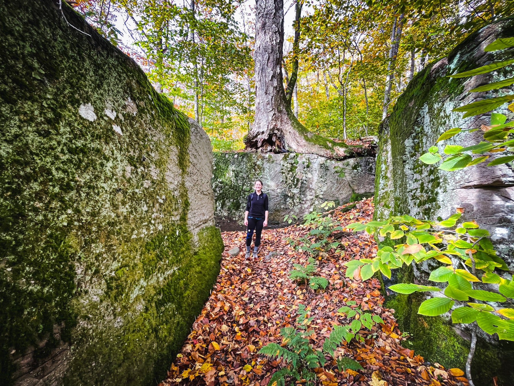
Table & Peekamoose
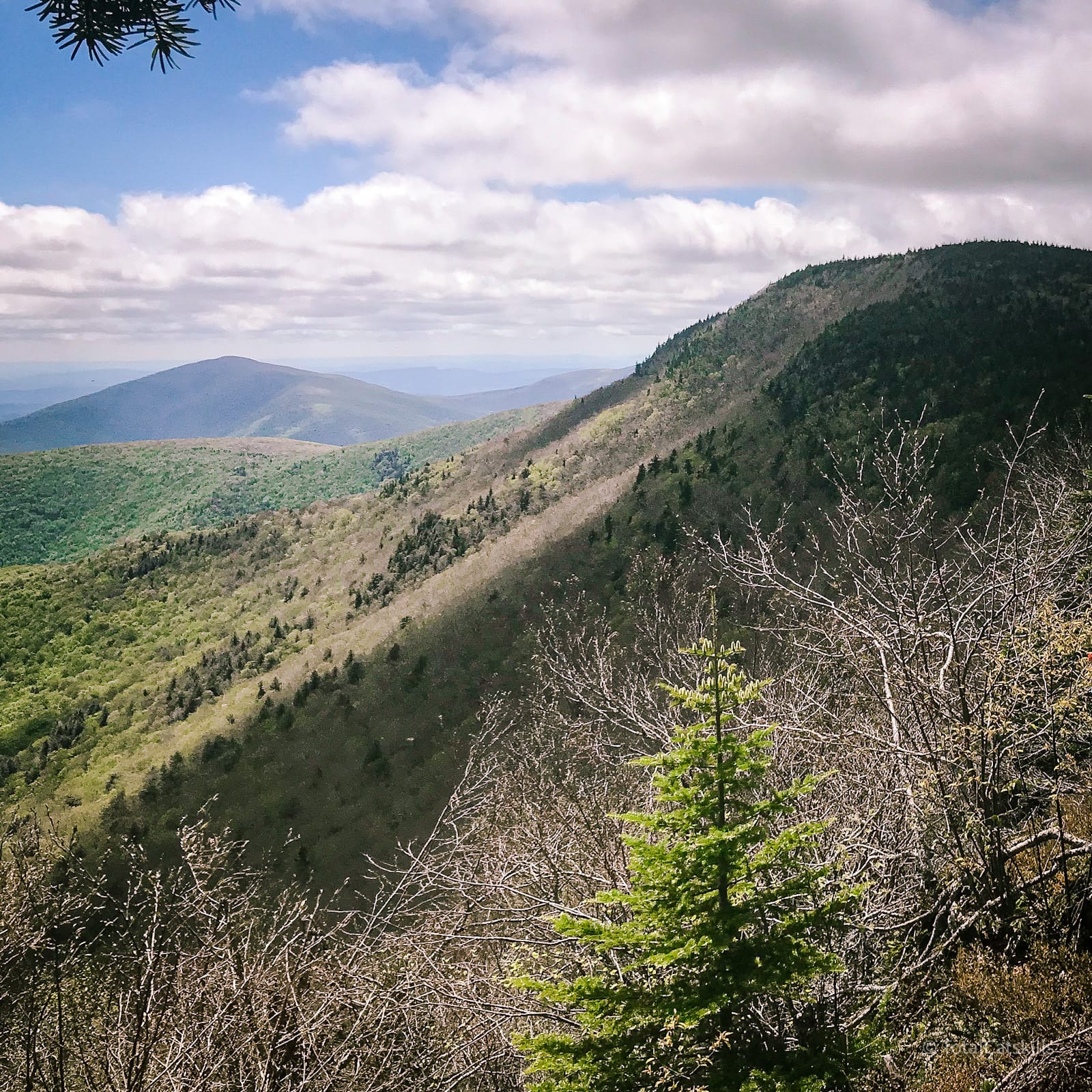
The initial route to Table is long but steady and easy to follow. The views below the summit are worth checking out. Enjoy the lovely walk across the Table’s flat ridge.
Continue on to Peekamoose. The col between the two is one of my favorites.
Return to Table, but not to the summit. At the east side of the ridge, look for an unmarked herd path on your right that leads into the pine forest. It’s flat at first but quickly dips into the col between Table and Lone. Follow the herd path to Lone.
This is a great place to know how to use a compass.
Lone & Rocky
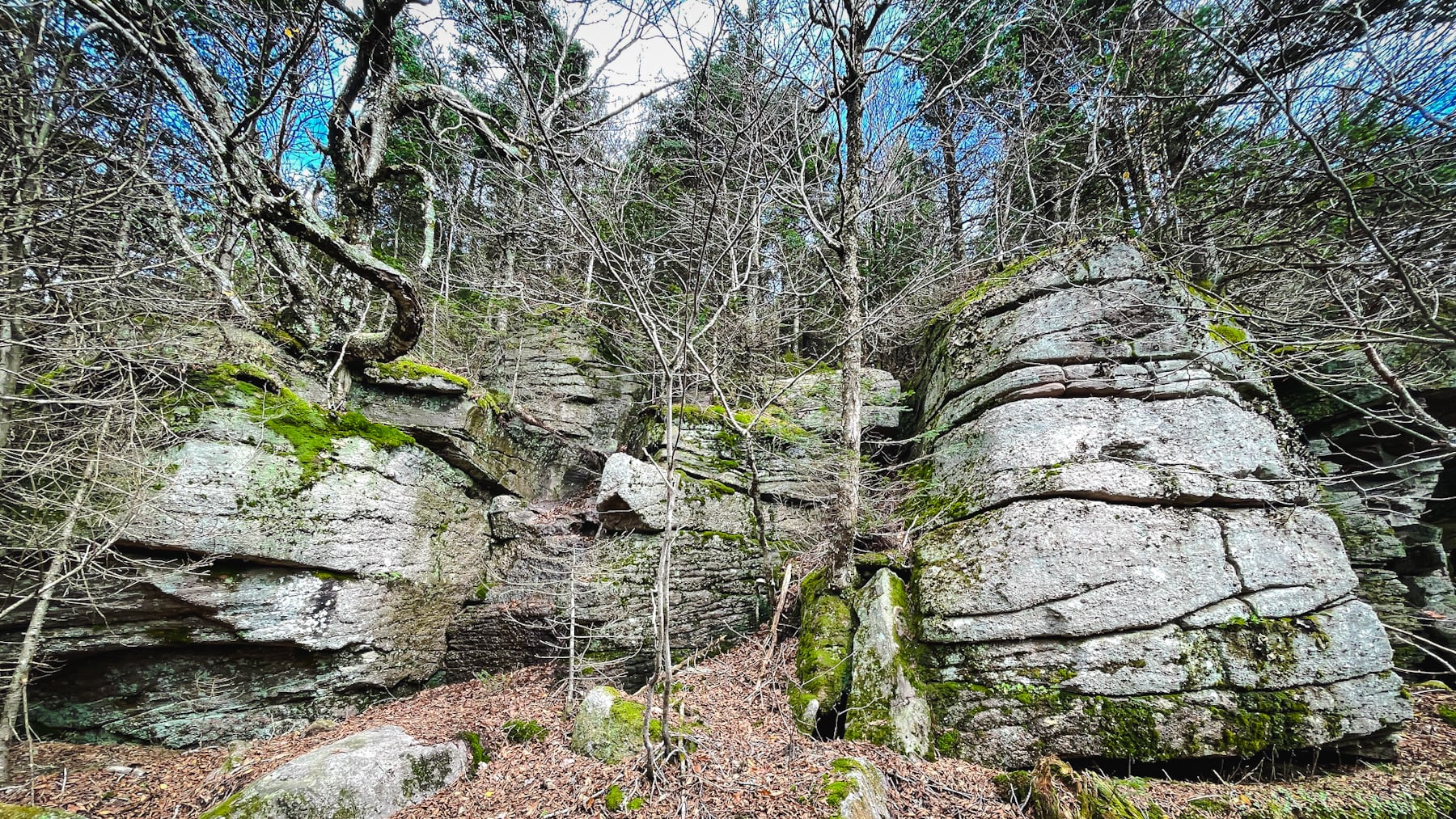
Climb this small cliff on the west side of Lone, then make your way east to the summit. You’ll pass some wonderfully gnarly birch trees.
Near the canister, there’s a lookout down a short spur off to the right/southeast. Return to the canister and begin to make your northeast to Rocky.
Navigationally, this is the toughest part of the hike. There’s good potential for wrestling pine trees the whole way. Follow the herd path as best you can. Keep to the north side of the col as much as possible. You will lose elevation but, trust me, it’s absolutely for the best.
Make your way to Rocky’s canister. Close by, again to the east, you can visit the top of a sheer cliff with a great view of the back of Balsam Cap and Ashokan High Point.
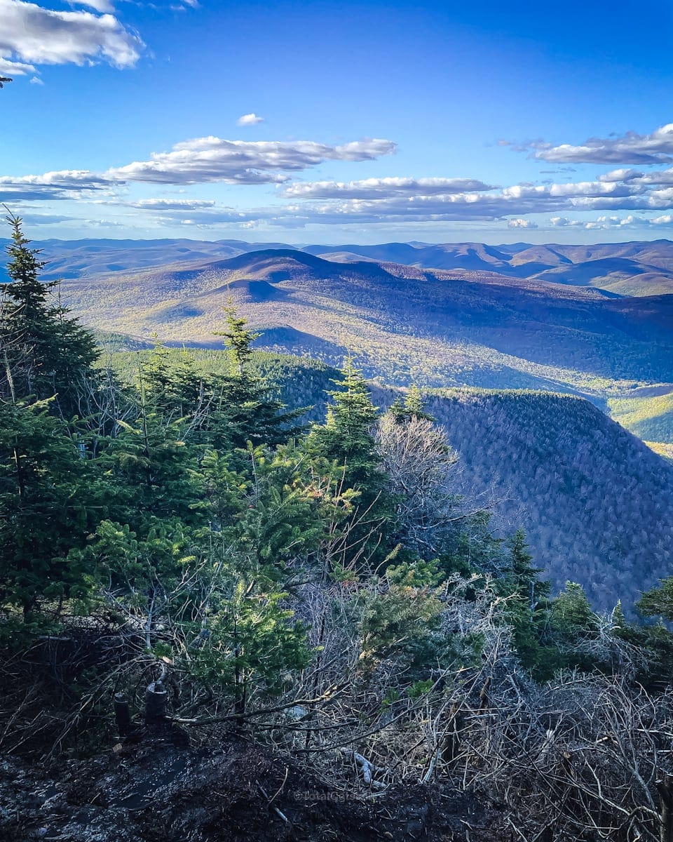
Make your way east-northeast to Balsam Cap.
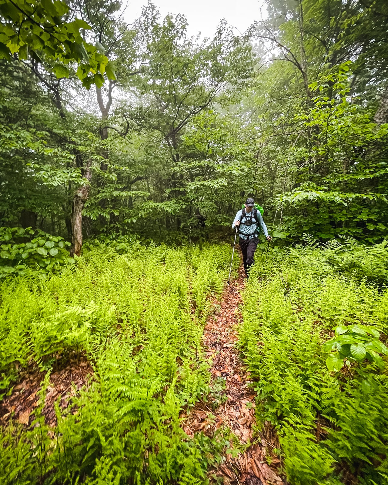
No guarantees, but you’ll probably pass through this fern glade…
I love the back side of Balsam Cap around 3,500’ where there are some fine boulder ledges. Make your way to the third of four canisters you’ll find today.
Balsam Cap, Friday, and Dink
Balsam Cap and Friday both have small clearings at the summit. How you get to Friday from Balsam Cap is a matter of preference. The more adventurous can stay off the main herd path and try a more direct but more challenging route. First-timers should stick to the well-worn herd path which will lead you down to the pregnant tree. From there, head up The Ramp, then turn right to make your way to the summit.
Next is Dink, the modest, mossy hump between Friday and Cornell. Navigation can be tricky here, too. Stick as close to the edge of the col as you can and you’ll eventually pop out onto the trail the leads up to Cornell’s summit.
From that point on, the remainder of this route is trailed.
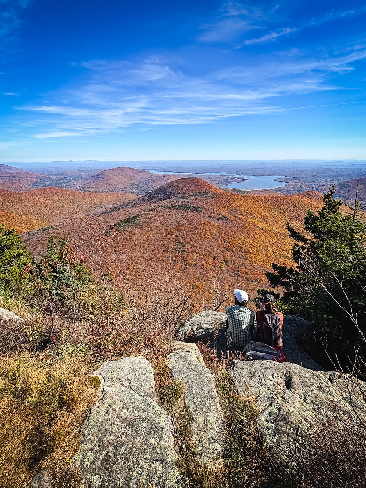
Cornell & Wittenberg
Hike to the summit of Cornell, which is up a short spur trail on your right. Easy to miss, so keep an eye out.
On your way up, just above a small lemon squeeze rock formation that might force you to remove your pack to climb, look for a large, obvious boulder on your left. Climb on top for an excellent view of Slide Mountain, and Giant Ledge/Panther.
Make your way over to Wittenberg’s fantastic ledge view. You’ll have to descend Cornell Crack.
At Wittenberg, rest your legs and fuel-up for the final leg of the route.
If you’ve packed painkillers, this is a good spot to pop those bad boys in your gullet, ahead of the final miles which are quite rugged. Your feet and knees will thank you.
Head back to Cornell Crack and hike over Cornell’s summit.
Continue on the trail all the way to Slide. The trail section between Cornell and Slide is one of the most beautiful and remote in the entire Catskill Park.
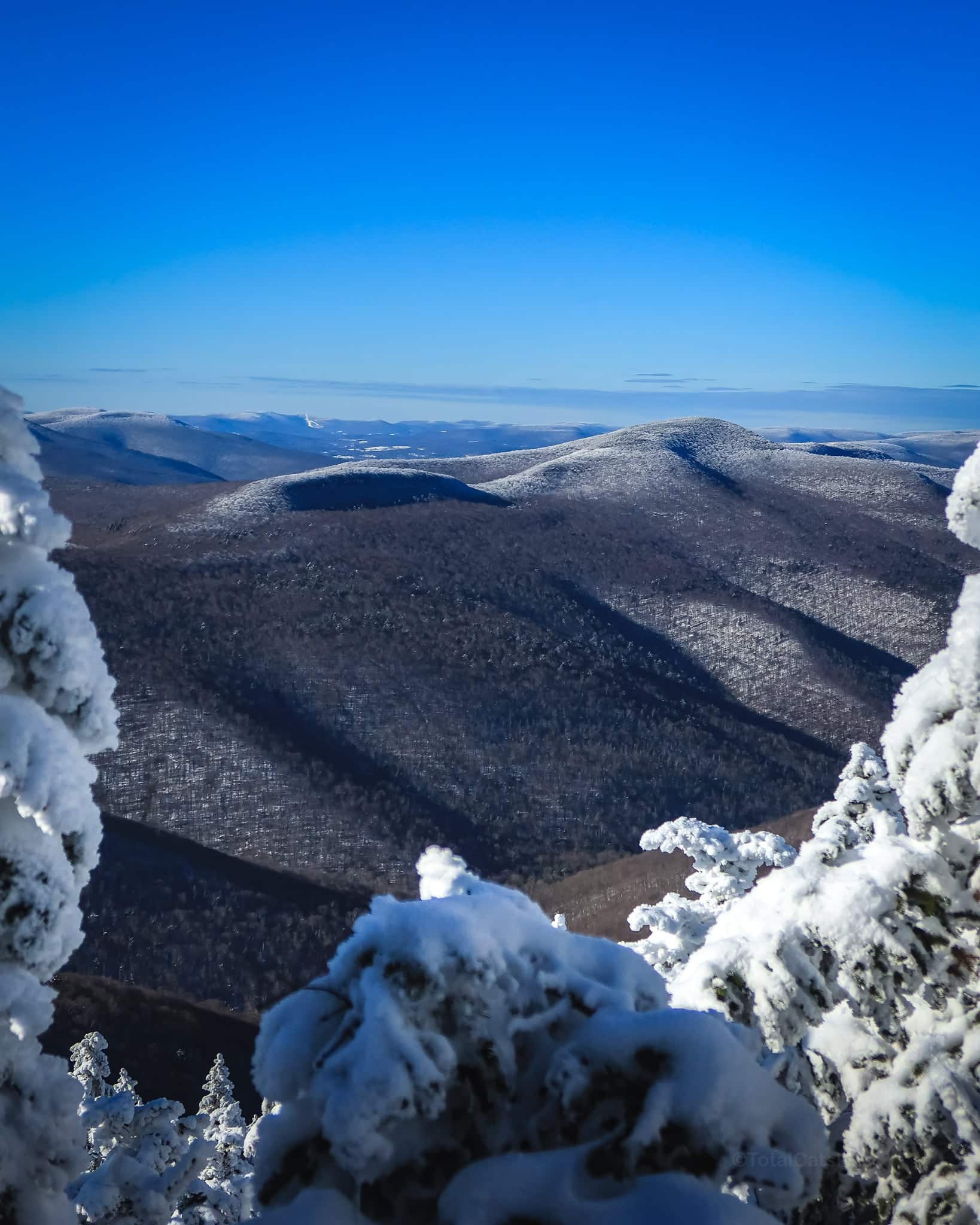
Slide Mountain
The back side of Slide is steep and rugged but near the wooden ladders and spring it offers excellent views to lift your spirits.
Finish on the tallest peak in the Catskills.
From the summit of Slide, it’s a straightforward but very-long-feeling 2.7 mile descent to your car.
Similar Hikes to The Catskill 9
This loop can also, of course, be done in reverse, clockwise.
You might also enjoy the Eastern Devil’s Path (12 miles) or even the full Devil’s Path (24-ish miles).
Read More
Get full access…
Get instant access to the full version of this site and enjoy great supporter benefits: full galleries, full trail notes, early access to the latest content, and more.
Hot on the website right now…
Follow for more…
Follow my @TotalCatskills content on Instagram for regular hiking inspo and safe, inclusive community.
The Catskill 9 Trailhead
Large parking area but this is one of the top destinations in The Catskills so, in prime hiking season, you’ll want to arrive very early.
Google Maps Location: 42.008343, -74.428138
The map below shows the exact topographic location of the trailhead
Cell Service
I have coverage at the summit of every peak, but there remain long stretches without any signal. Please plan well for this route. My network is Verizon. YMMV.
The parent mountain for this hike is Slide.
