Disclosure: This content may contain affiliate links. Read my disclosure policy.
The easiest route to get to Hunter’s Fire Tower — plus a more difficult descent, with an optional side quest to Southwest Hunter.
Trailhead info at bottom of this post.
Hiking Trail Description
This loop hike over Hunter Mountain starts via the easiest ascent to the summit via the Spruceton trail. From there, you can simply turn around and head back down the way you came. Or for a longer, tougher hike, you can follow this route down the far side to walk out via the Devil’s Path — with an optional side quest to Southwest Hunter.
In terms of difficulty, this loop straddles the upper end of moderate and the lower end of difficult. It is 10 miles in length and includes some steep sections.
The alternate quick route (up and down via the Spruceton trail) is moderate 7 miles.
After a long hike, you might really enjoy tapping the 10 Best Post-Hike Hacks.
Parking / Timing
This was a solo sunrise hike with sunrise scheduled for 6:27 am. My hiking time formula projected 2h 30m to get to the summit, so I parked at the Hunter Mountain trailhead at 3:45am. As it was, the ascent was so easy, I managed to scoot up to the summit in just 1h 45m.
However, this was in the dark — so I didn’t stop much, or take many photos, and I didn’t visit the John Robb Lean-To which I hear is lovely. (I visited it on a later date in daylight and it was worth the wait.) In daylight hours, with friends and stops for selfies, you might well allow 2-2½ hrs to get to the summit.
Anyway, on this Labor Day, even in the early hours, the parking lot was already quite full; a lot of people had obviously decided to camp out that weekend in the Catskills Wilderness.
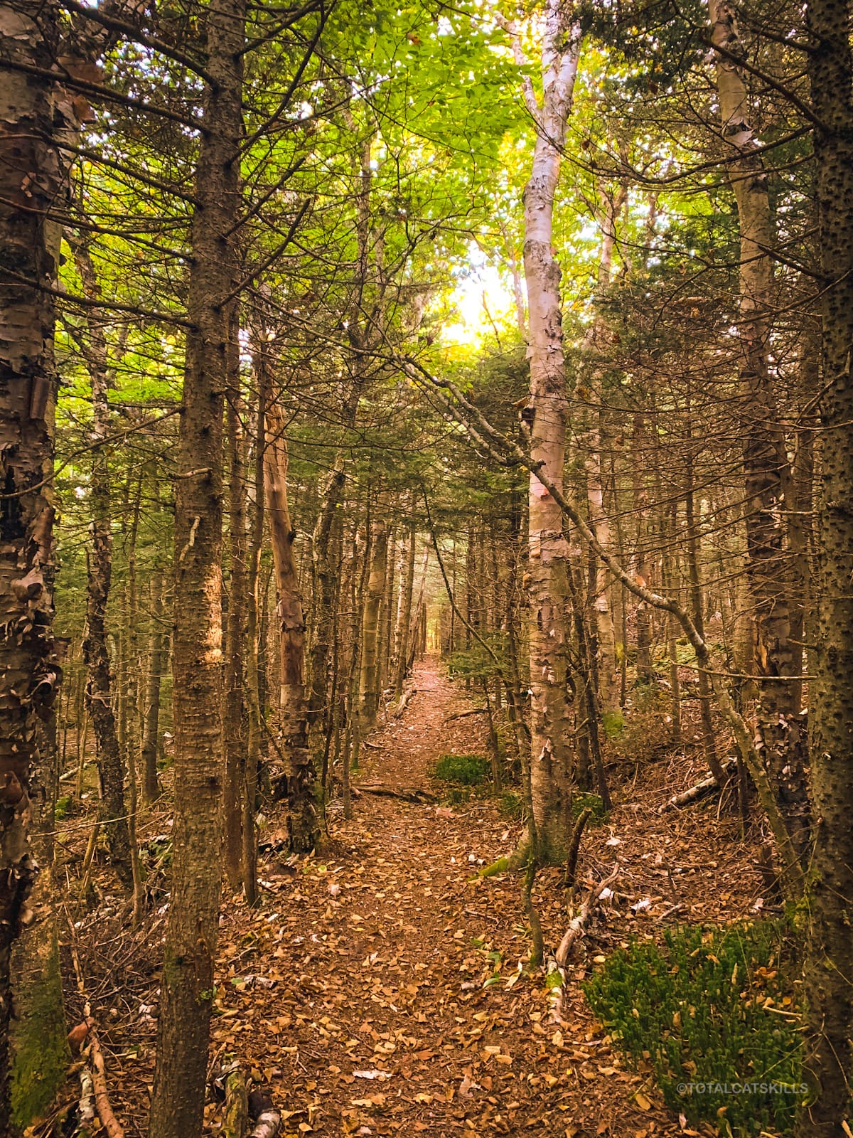
Hunter Mountain Hiking Trail
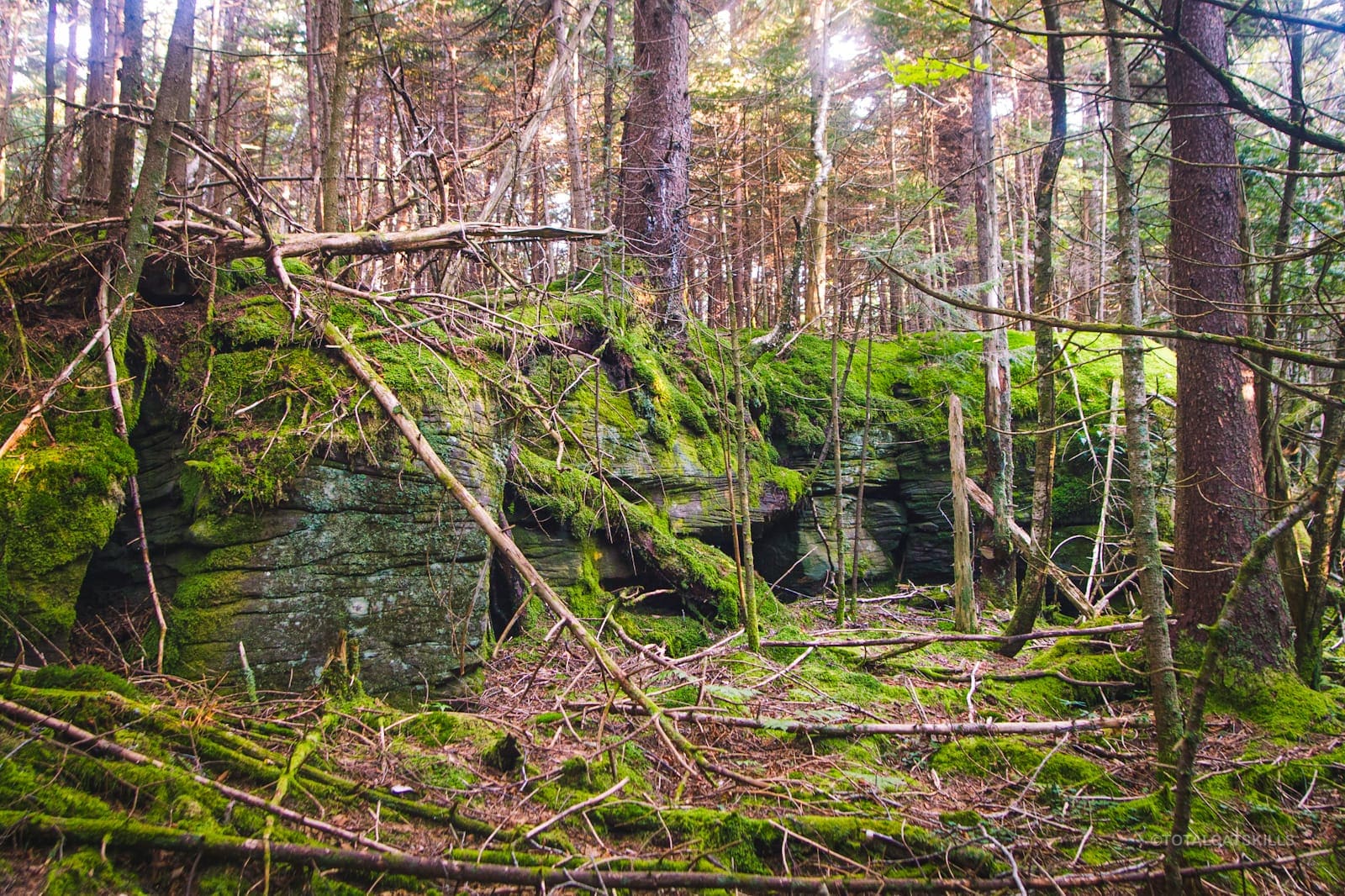
Old logging roads and jeep trails are not my favorite hiking terrain, so I was glad to be able to do the first few miles of this hike in the dark. This trail is nice, especially along the bank of Hunter Brook, but I felt like I wasn’t missing too much.
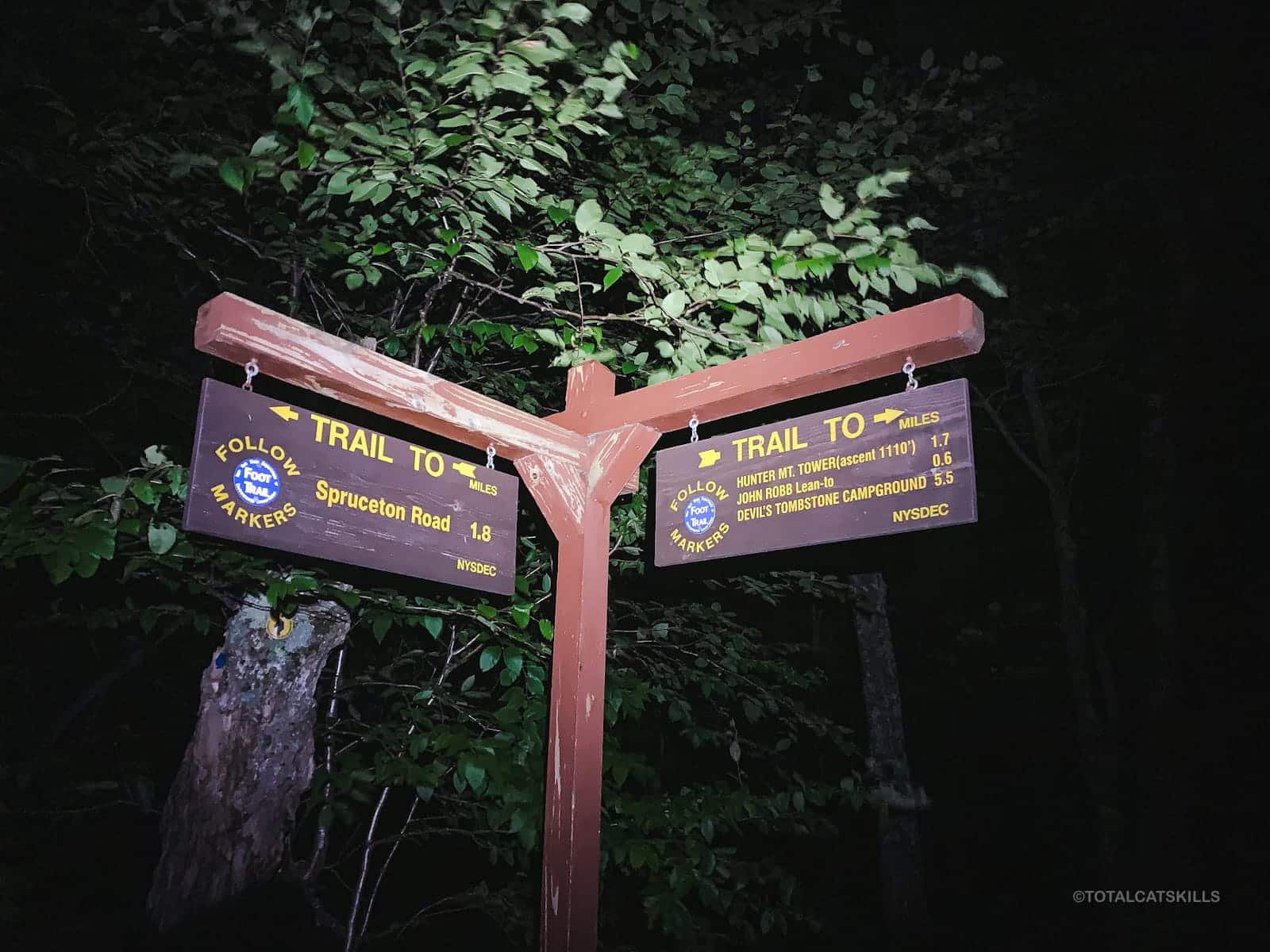
Follow the blue blazes. The first turn to watch for is the junction (at 1.7 miles) in Jones Gap. It’s a sharp right. The trail looks like it carries on straight, via an old road, so make sure to turn right and start heading up.
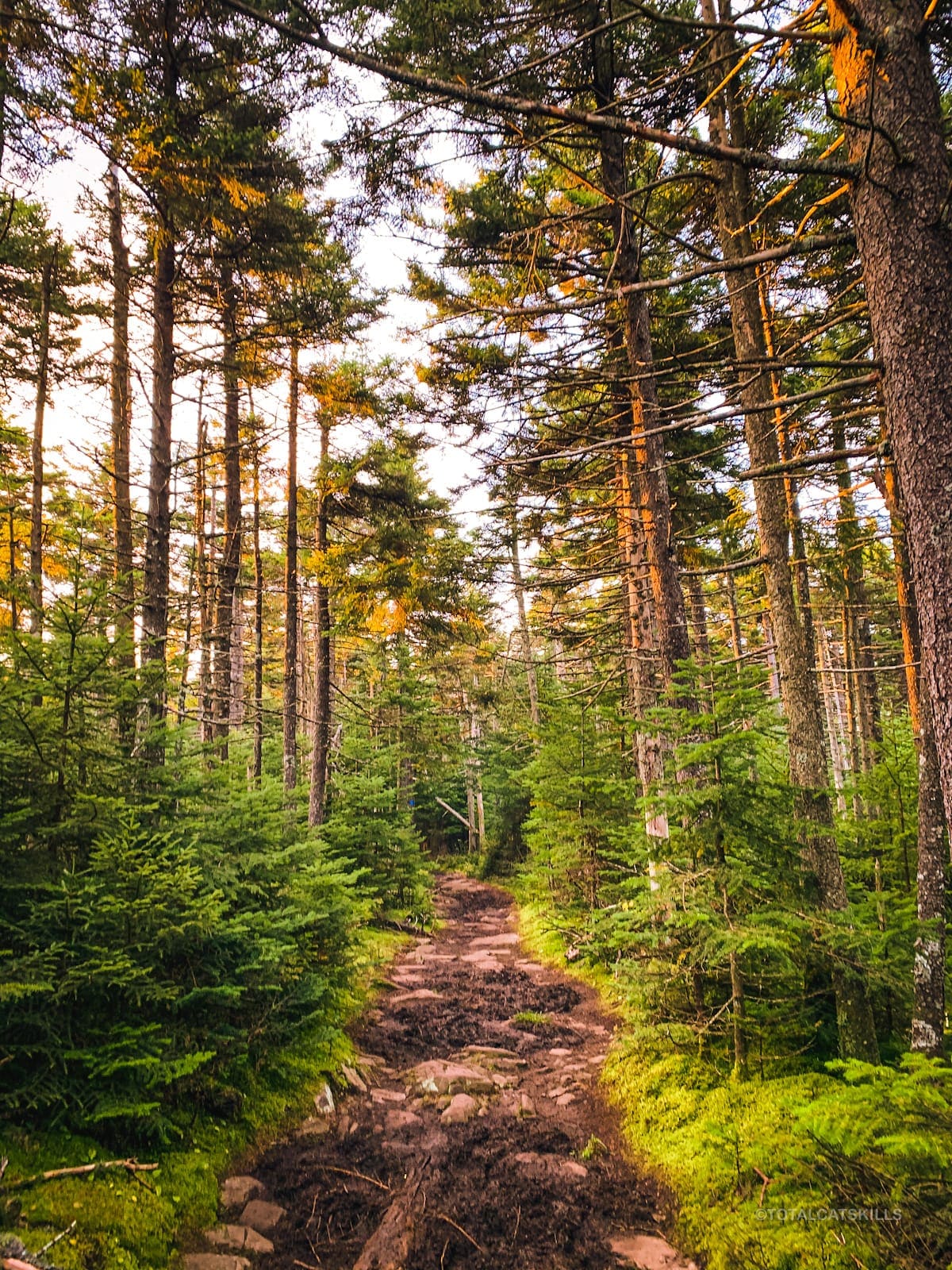
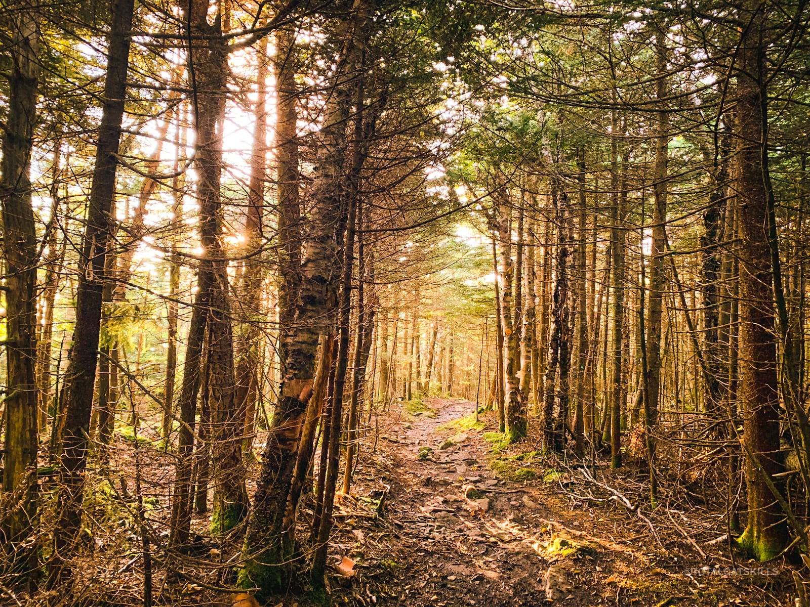
After Jones Gap, the trail gets steeper and more rugged.
You’ll pass an obvious, noisy and very productive spring on your right. Not long after the spring, you’ll pass the spur trail that leads to the John Robb Lean-To.
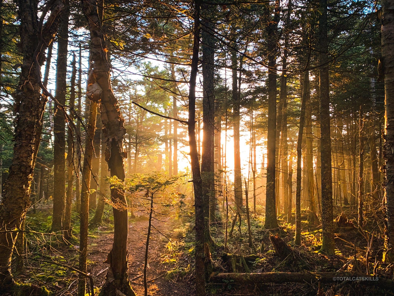
Somewhere between the John Robb spur and the junction for Colonel’s Chair, the pine smell hits hard. I love it.
Note: at this time of year, Betelgeuse, Orion’s Belt and Rigel appear overhead quite clearly.
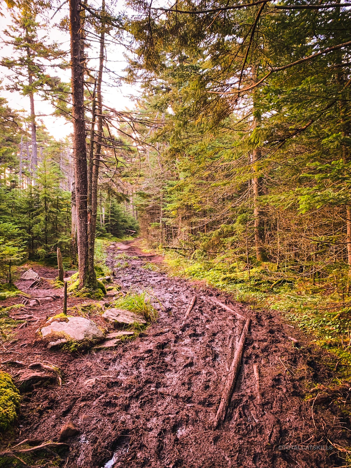
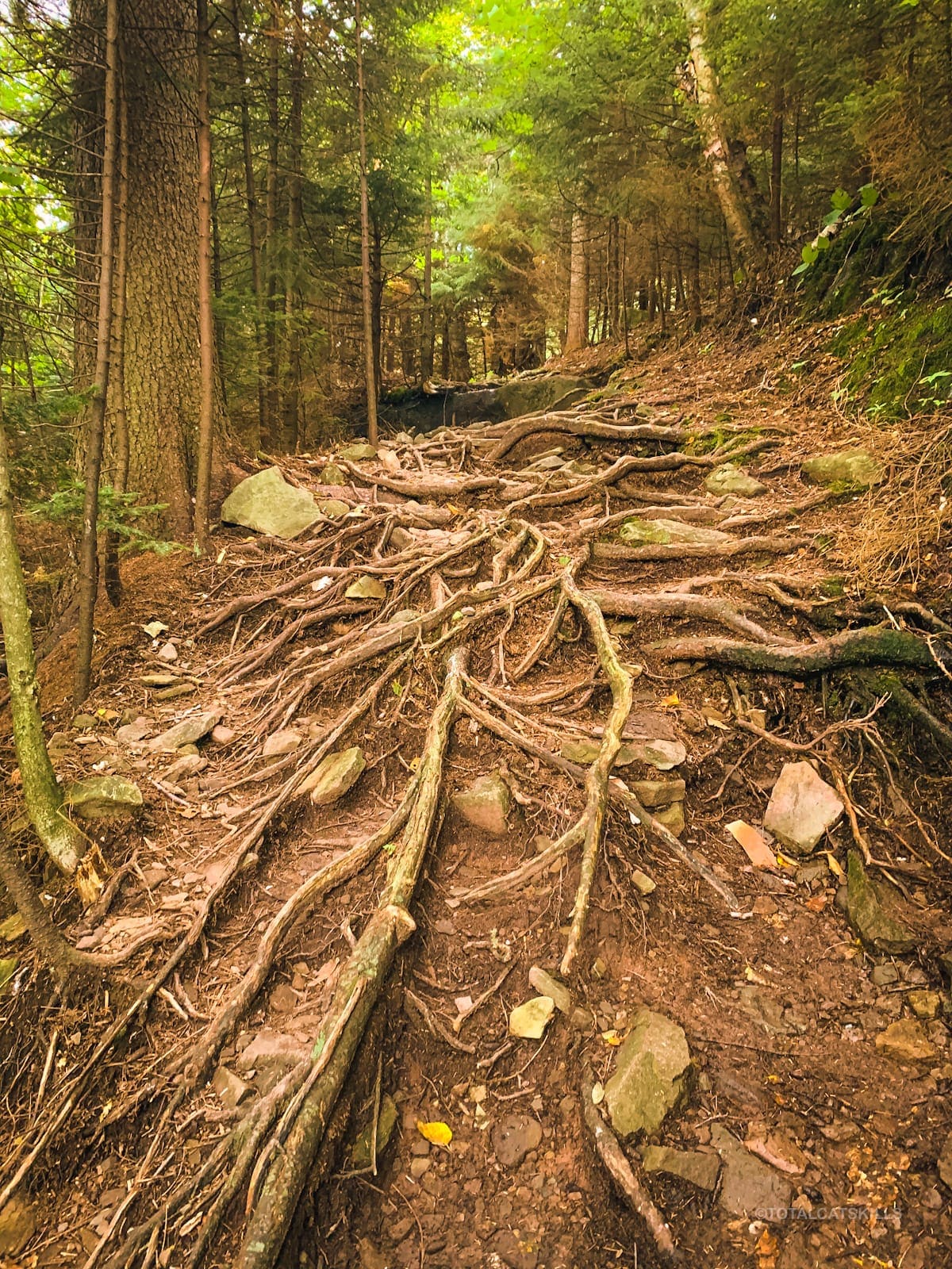
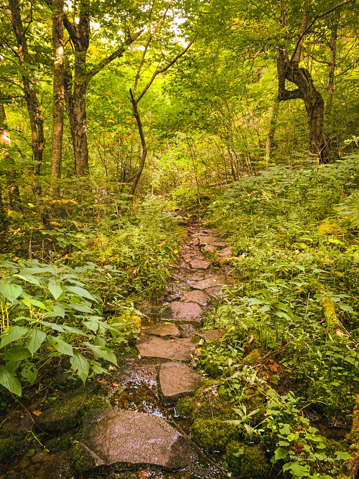
The last mile to the summit is easier, in terms of elevation, but there are half-a-dozen muddy spots to get through — always walk right through mud, rather than trying to skirt it which only further widens the trail.
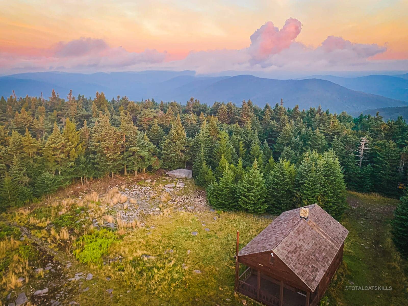
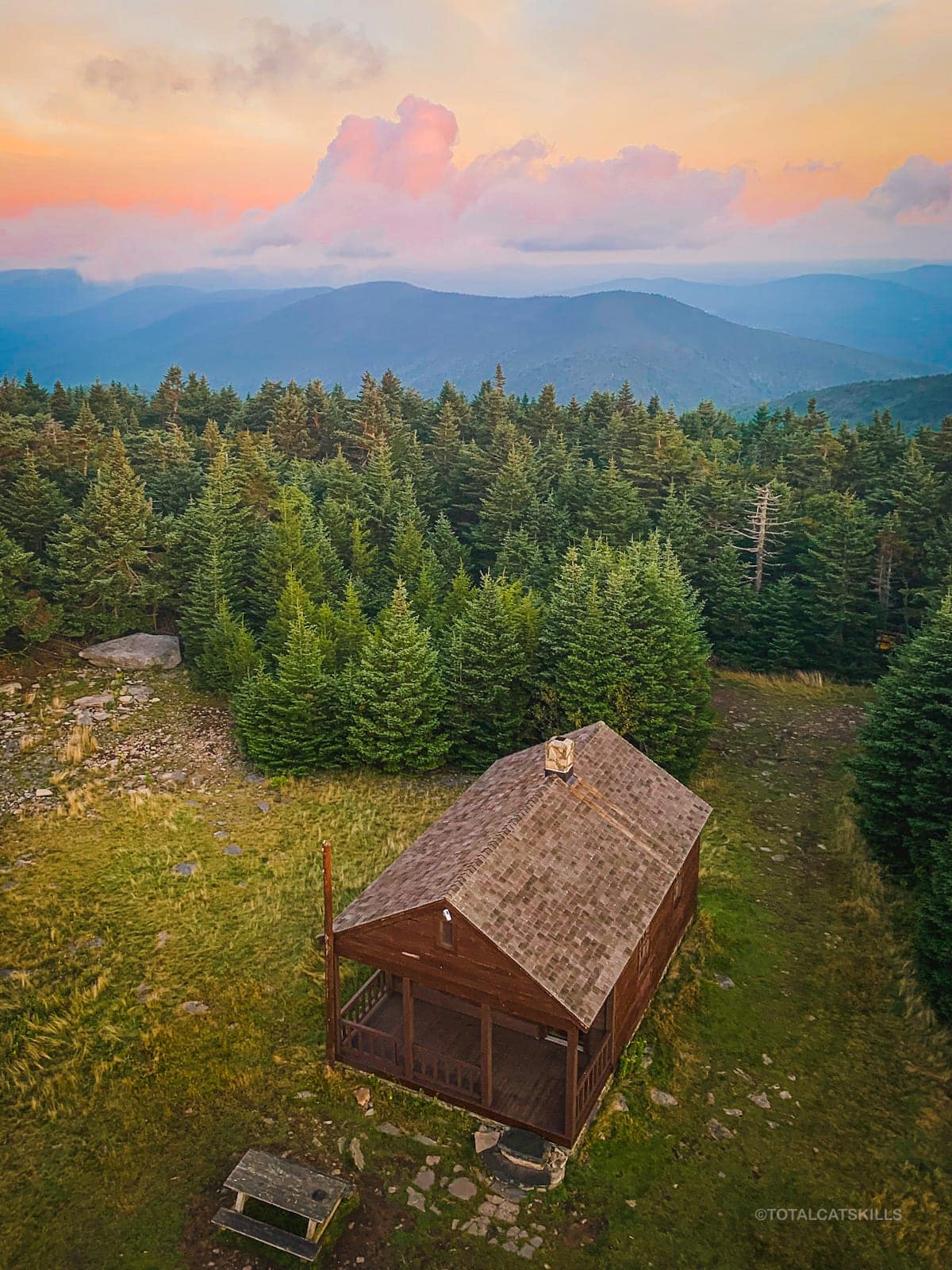
Hunter’s Summit & Fire Tower
After reaching the summit so much ahead of dawn, I kicked myself for not bringing my tripod. Orion was visible directly behind the fire tower. This would make a fantastic astro/hiking photo. Get on it, somebody.
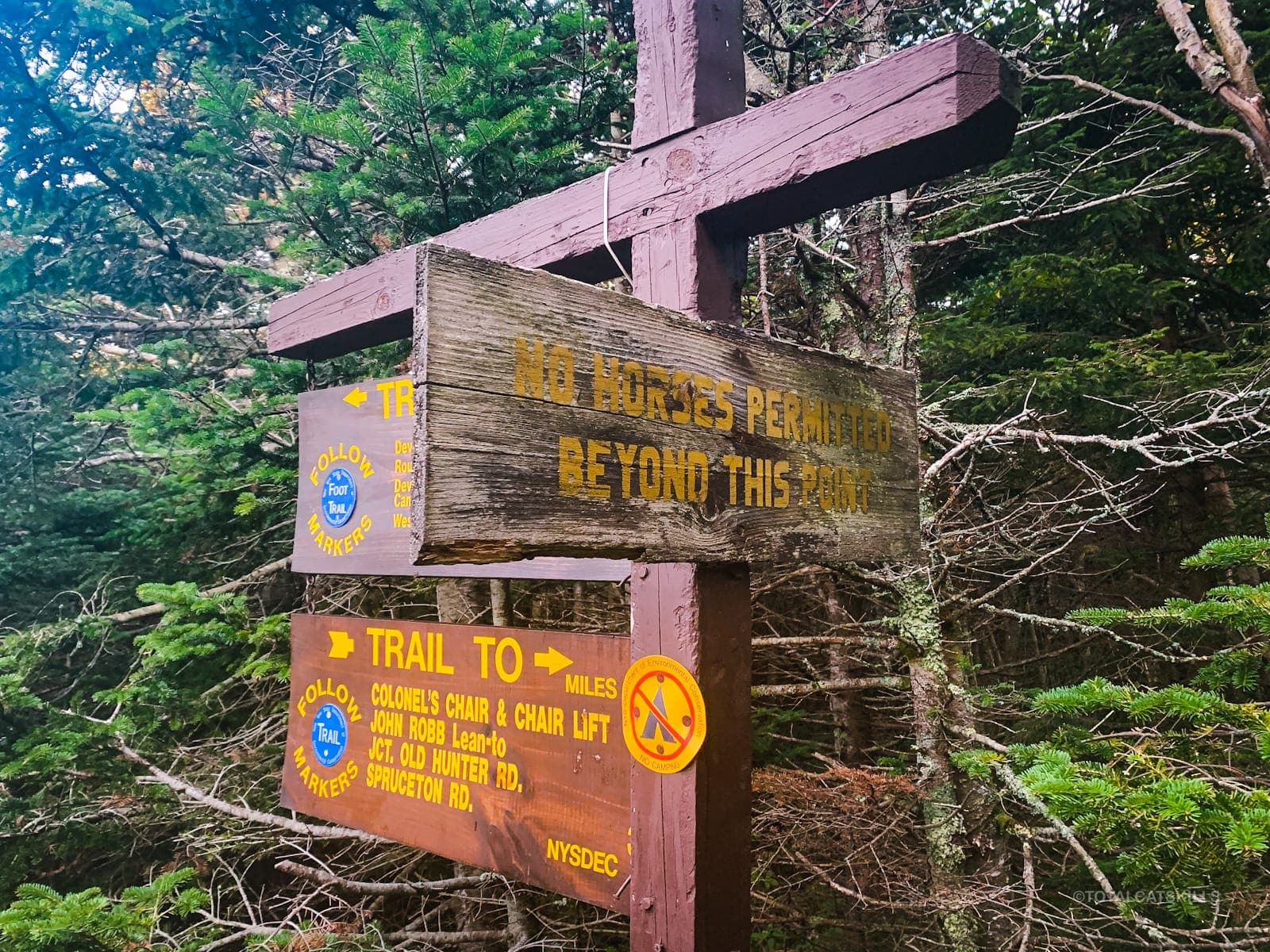
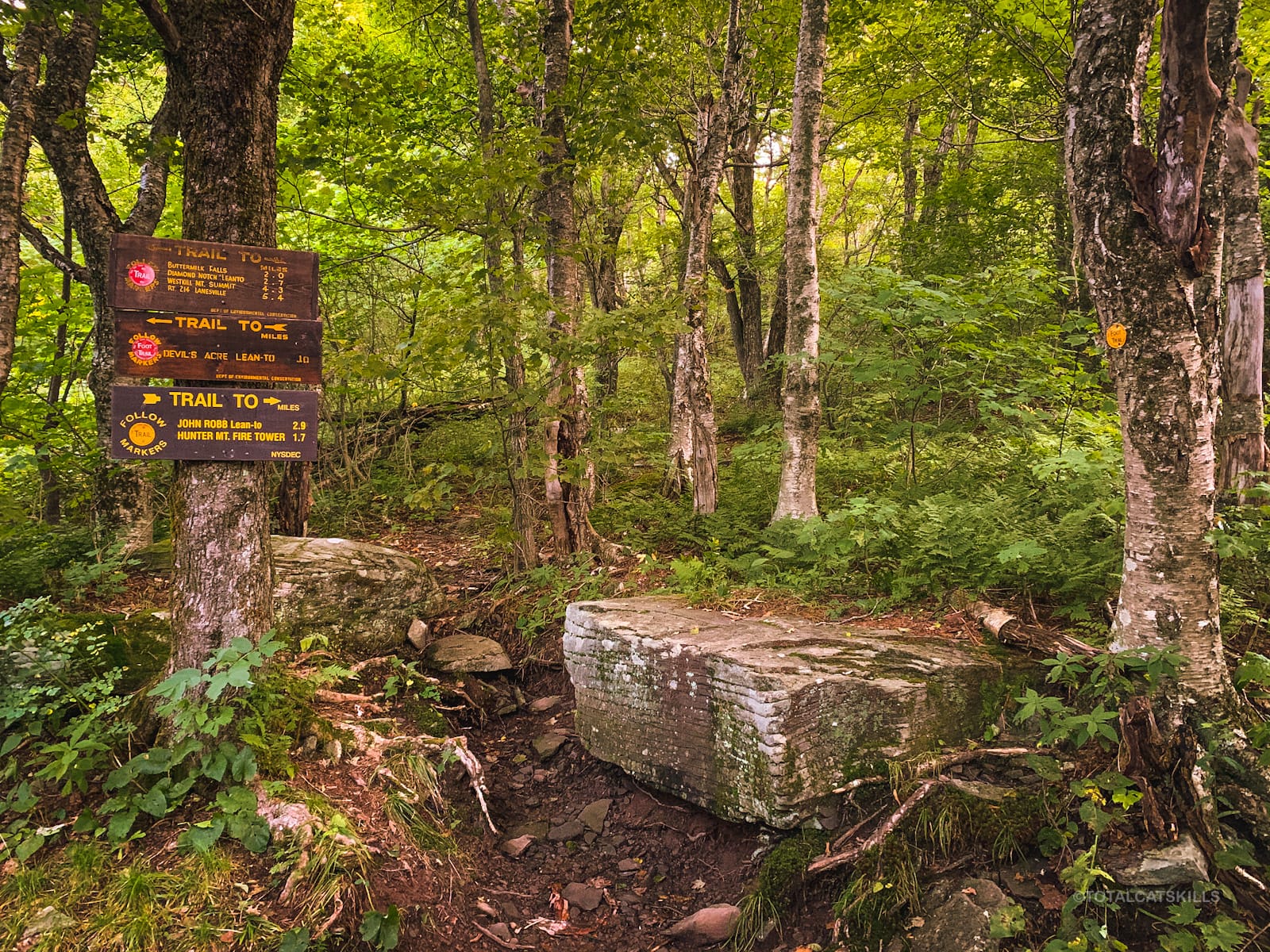
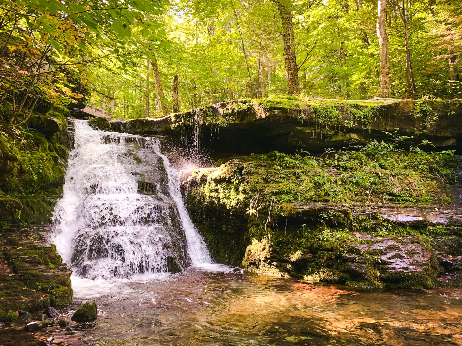
Here is what the junction looks like in daylight. If you rode your horse up this far, you must park it here while you visit the tower. “No horses permitted beyond this point.”
This is the view from the junction / sign post, again in daylight hours…
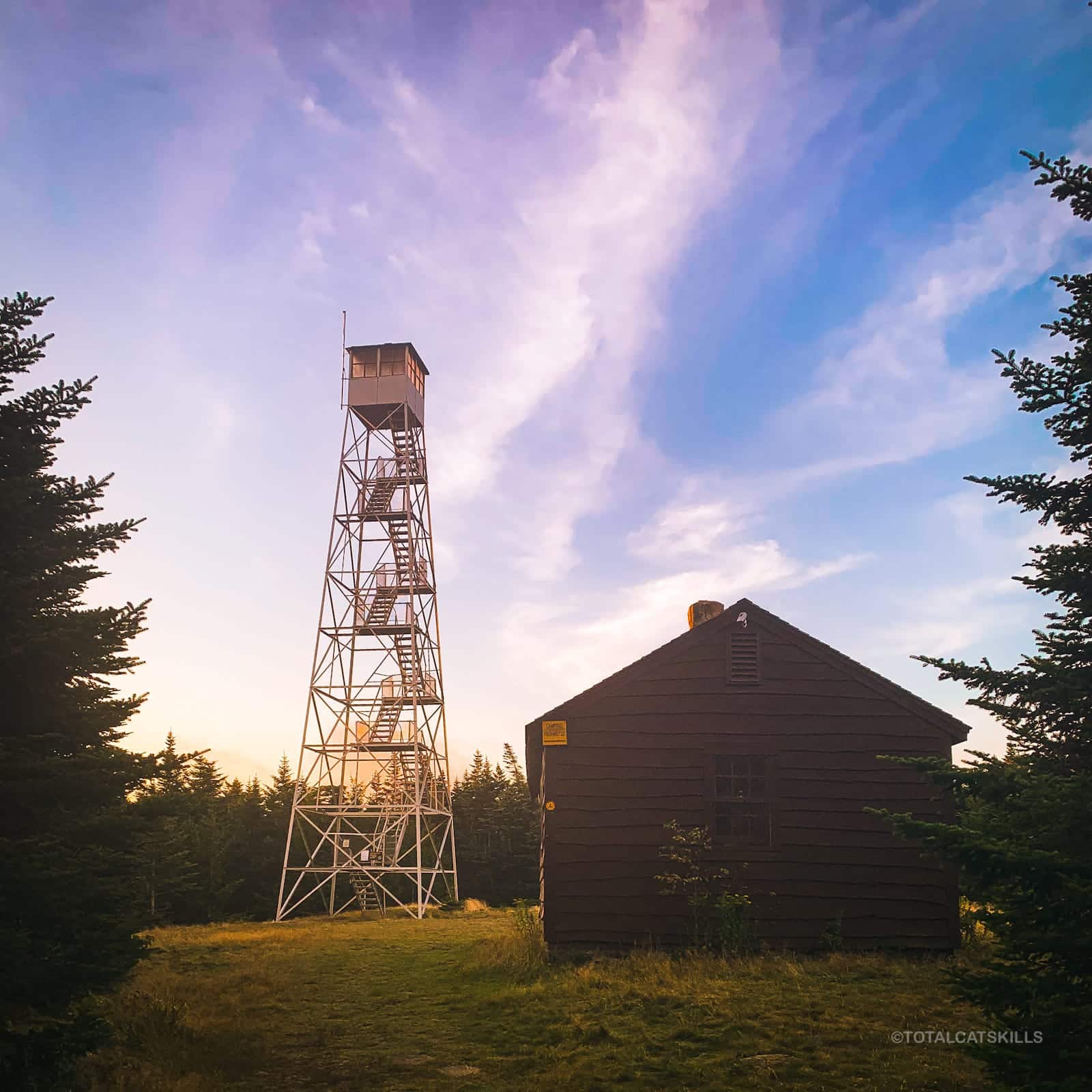
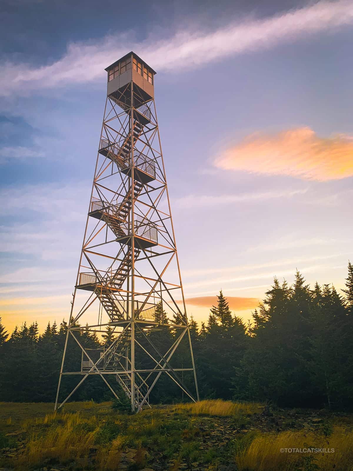
It was way too early, and very windy. Clouds rolled in. I worried they’d ruin the dawn but I just waited it out. I stood by the cabin, using it as a wind break. Unknown to me, the cabin was occupied by the summit volunteer. In summer, the towers are manned by volunteers at the weekends — but I didn’t realize they actually slept over. I thought they just hiked up each morning. Apologies to this volunteer who was woken by my pacing around outside to keep warm.
Summit Views
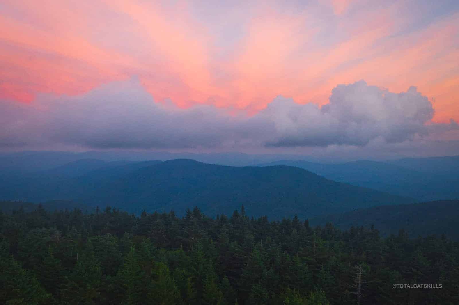
This was the view from the tower at 5:59 am, about half an hour before dawn. This is not a time lapse video…
By 6:40 am things had improved dramatically, though it was still windy enough to push me around. Clouds were tearing overhead like waves of fluffy SUVs.
Here is the view west, looking over toward Rusk and East Rusk…
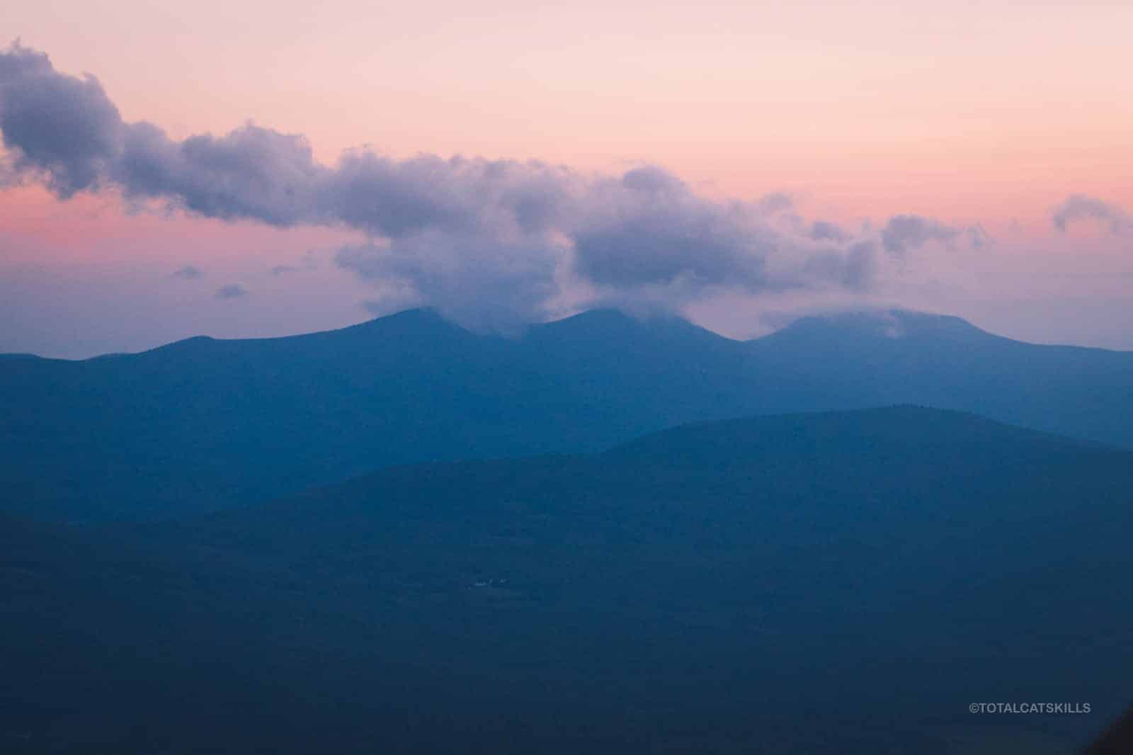
Looking east, along Hunter’s long summit ridge toward Plateau, this was the view…
Pre-dawn is often extremely beautiful…
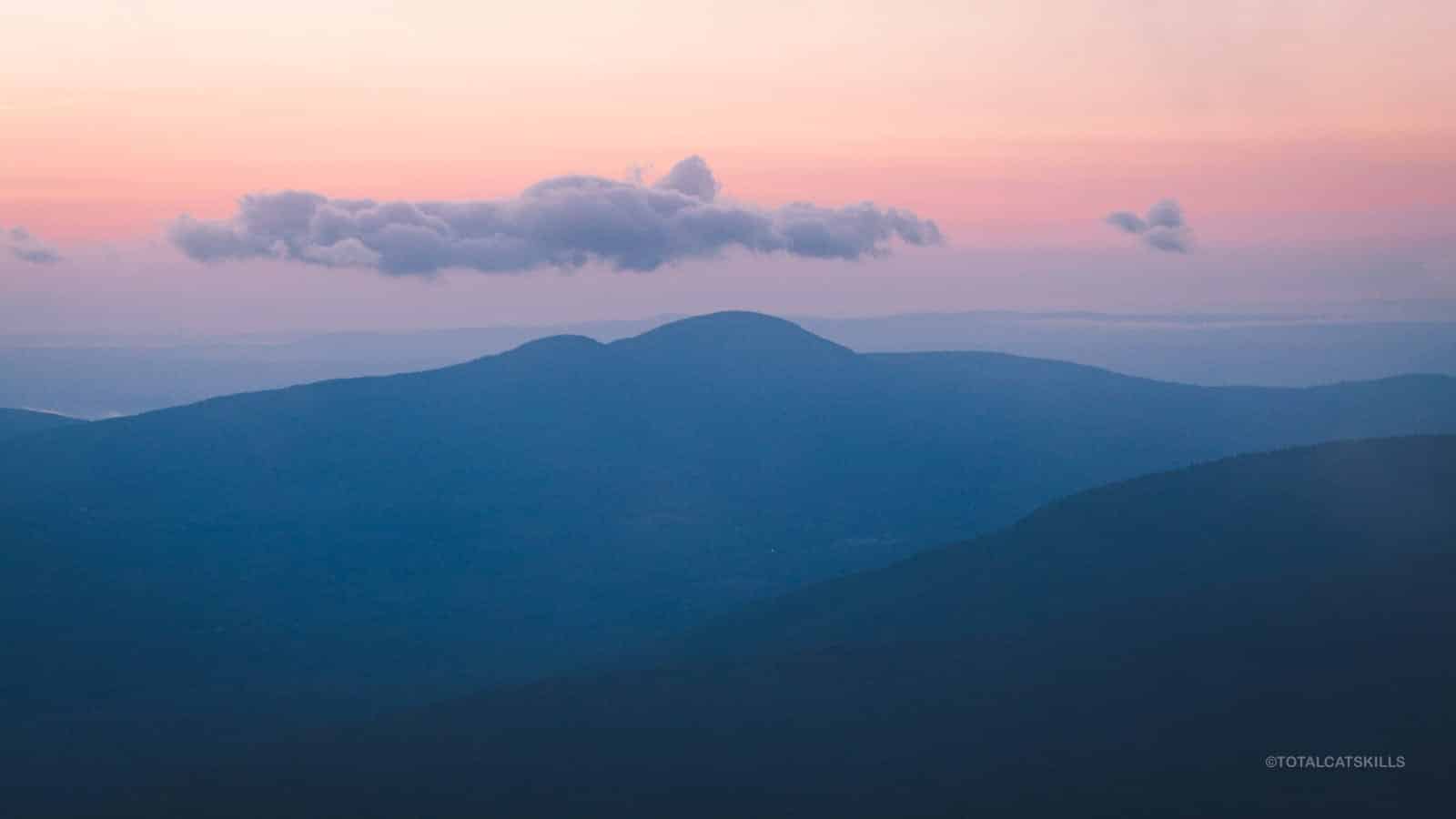
Eventually, the sun rose to the left of Round Top and Kaaterskill High Peak…
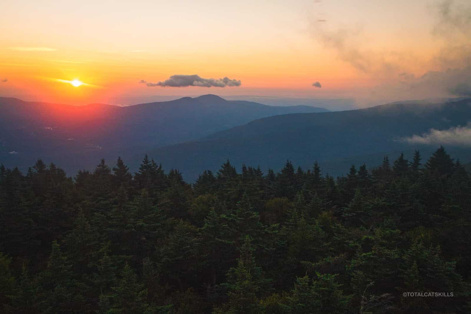
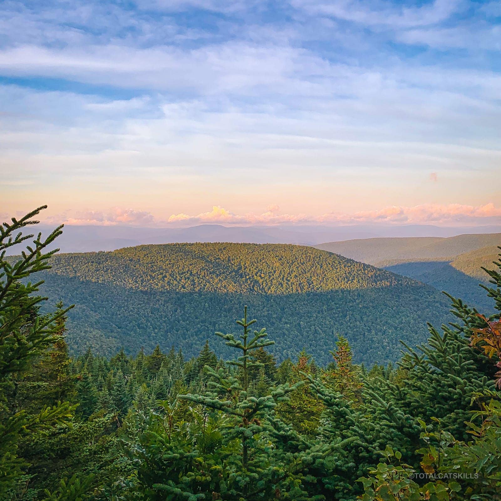
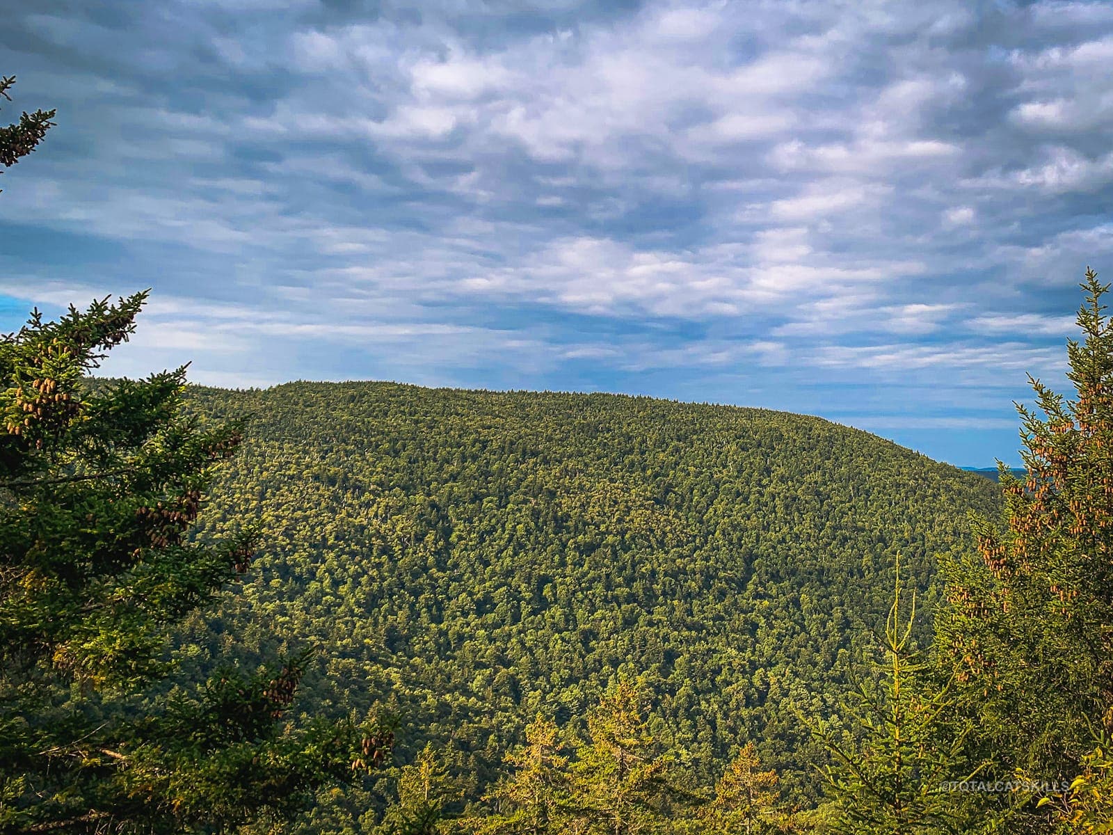
The views from Hunter are really exceptional. You get 360° of fantastic Catskills scenery.
IMO, dawn is the best time to be on a mountain.
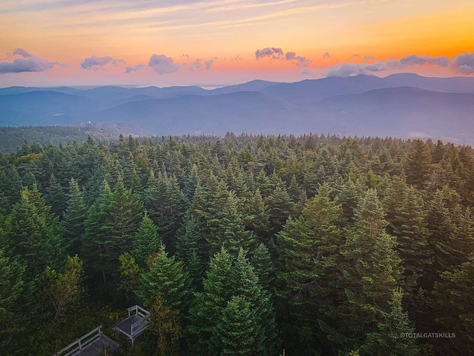
After I came down from the tower, Hunter’s amazing views were not nearly done.
Hunter’s Summit Ridge
Return to the junction behind the cabin. To descend the easy/quick way, turn right and head back the way you came.
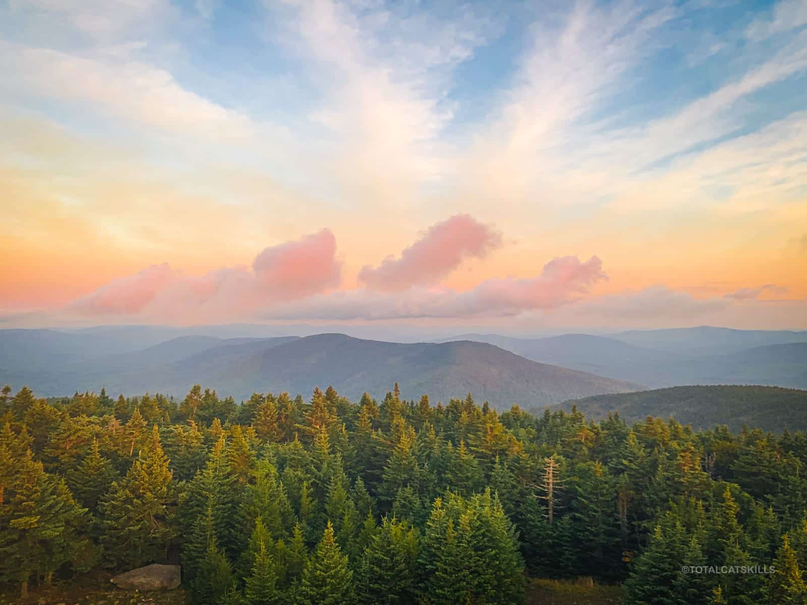
To return via the long loop, turn left. Along the summit ridge, keep an eye on the left side of the trail for a short herd path leading into the woods. It seems to go nowhere, but it does catch the light at dawn in the most spectacular way. The whole area lights up like a gold forge…
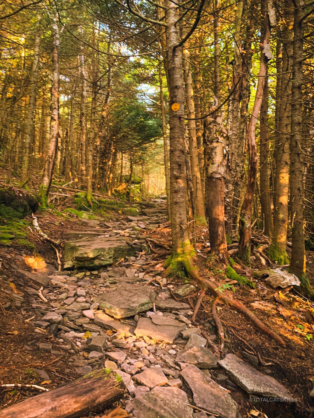
On the way up to the summit, you passed several muddy sections. Across the top of Hunter Mountain, there are several boggy sections. Use the logs people have dropped to make your way across. Do not widen the trail.
Hunter’s summit is enormous. There’s plenty of beautiful trail to hike…
Hunter Overlook
About ⅓ mile from the tower junction, you’ll come to a trail crossroads. To the left, the red trail heads down the east side of hunter via the very steep Becker Hollow trail. To the right, a short spur trail (yellow) leads to a nice overlook. The view has grown in a little since I was last here but Southwest Hunter (the next destination) is clearly visible below. (To its right, you can see West Kill.)
Return to the trail and turn right. You are now on another yellow/connector trail, heading down to Devil’s Acre and the Devil’s Path.
Devil’s Acre
After 1.35 miles of steady descent, you’ll reach this junction. To the left, the trail leads down the east side of Hunter via the very steep and rugged Devil’s Path to Stony Clove Notch. Instead, turn right and follow the red blazes of the Devil’s Path toward the Lean-To, South West Hunter and back toward Spruceton.
The Devil’s Acre Lean-To is very close to the junction. You’ll hear running water from the stream that passes next to it.
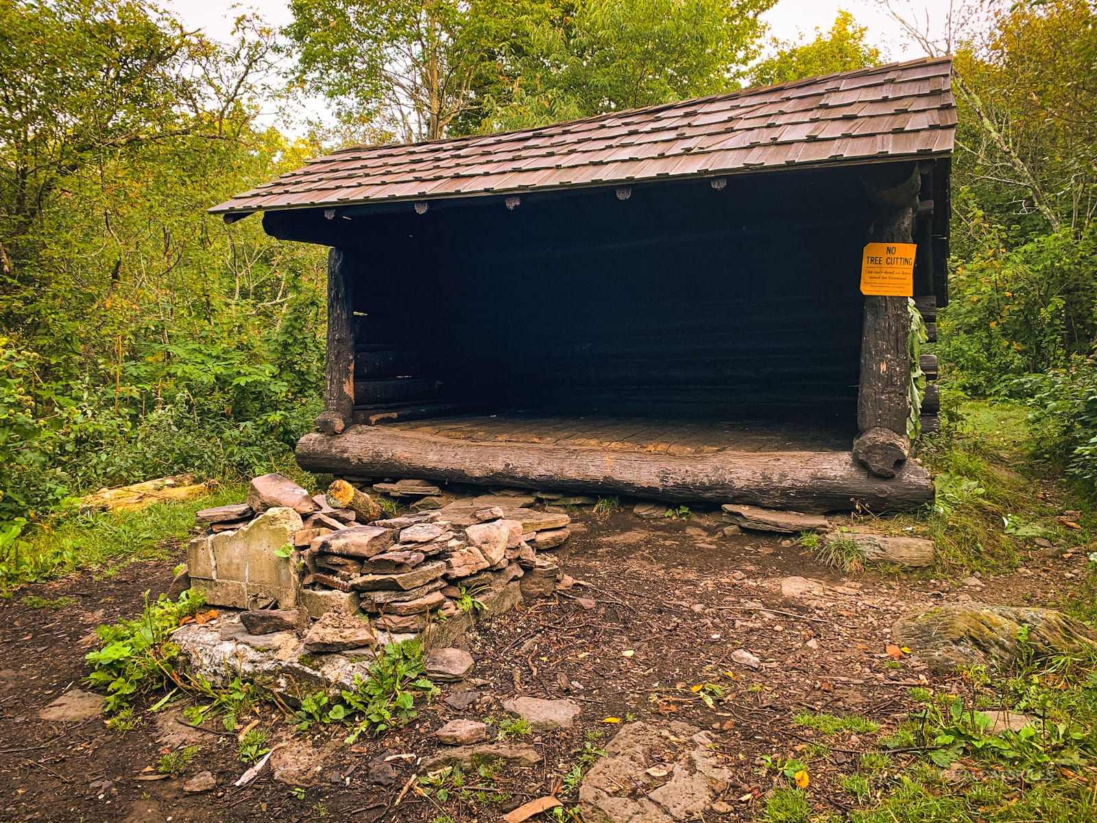
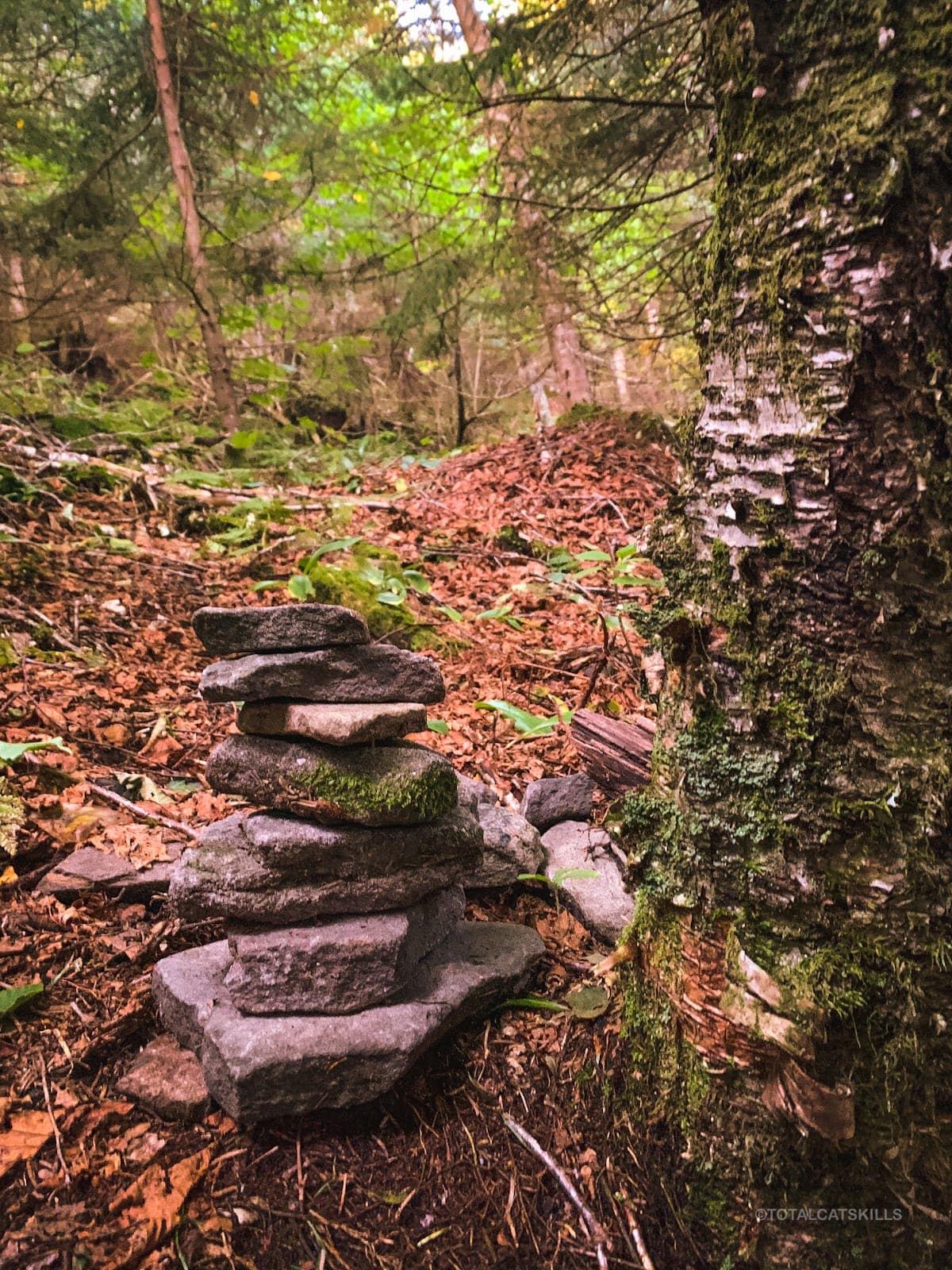
After the lean-to, keep an eye out for a sharp right turn across a small dip. The trail heads up a little, but then levels out before arriving at the herd path junction for Southwest Hunter which can also be approached via Stony Clove Notch.
Southwest Hunter
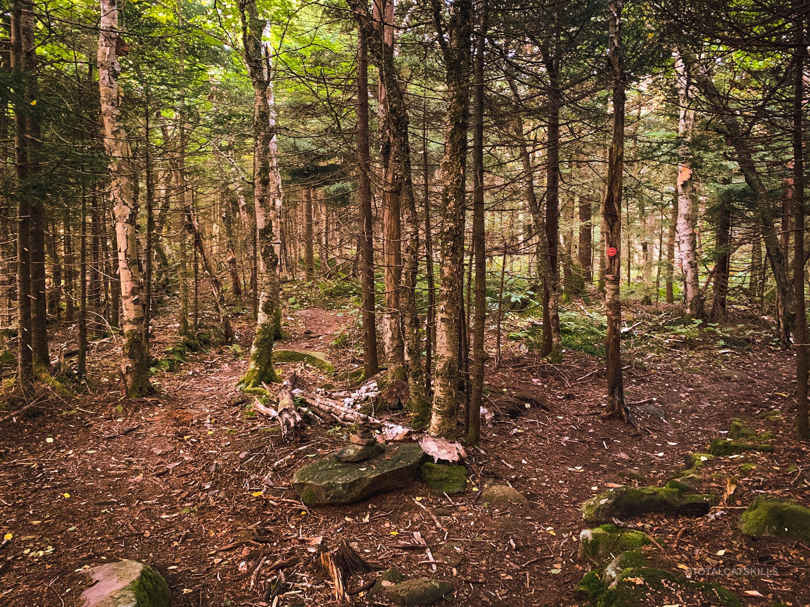
There is no sign for Southwest Hunter, but the woods environment changes noticeably and abruptly, and you‘ll see a small cairn or two on the left side of the trail.
You can see the red Devil’s Path blaze above. You’ll come back to this spot.
For now, if you like, turn left and head into the woods, following the clear herd path which will bring you to the summit of Southwest Hunter.
There are no blazes or signs on this side-quest and it’s possible to wander off trail — so do not proceed with this part of the hike unless you’re completely confident with your ability to navigate your way out of trouble on a mountain.
If you don’t make any errors, and stay on the herd path, the hike out and back to Southwest Hunter from the Devil’s Path will take about an hour.
Much of the trail is very straight. It follows an old rail line used by timber loggers back in the day…
Near the end of the herd path, you may notice another small cairn…
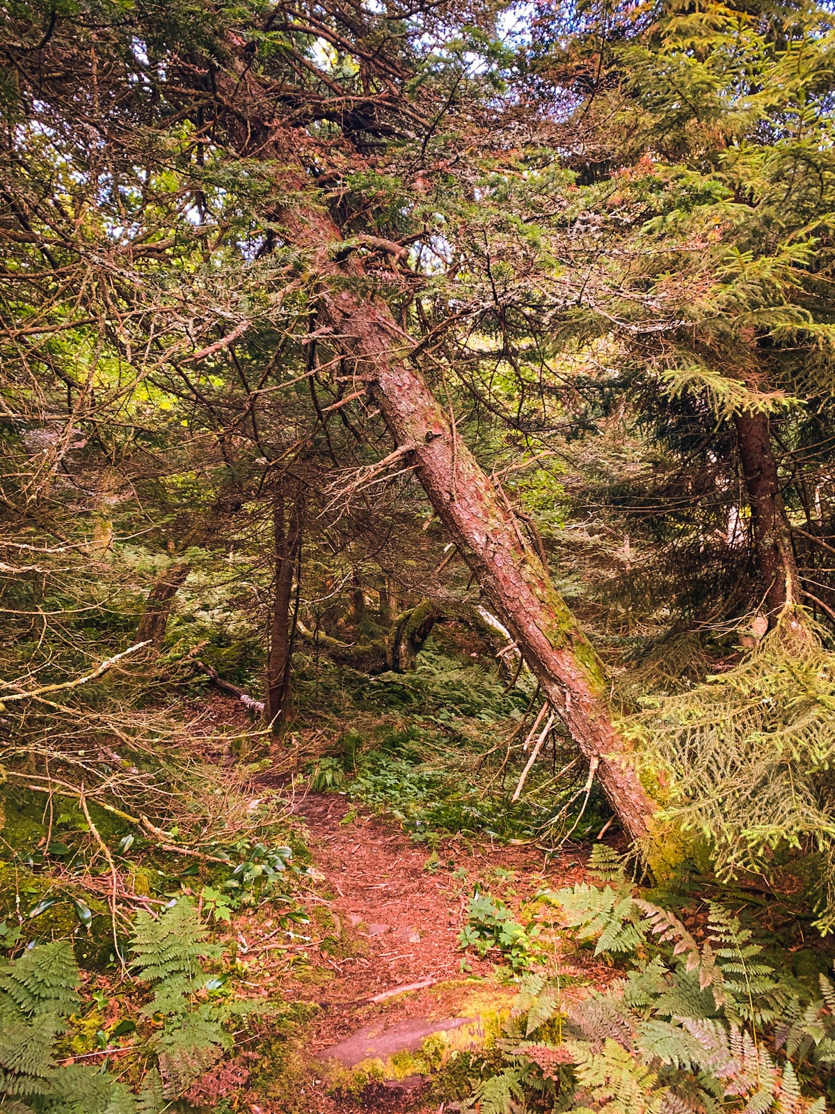
Here the herd path turns sharply left and heads up 150’ or so to the summit. There’s often some blowdown in here to navigate — or, at the very least, a handful of leaning trees.
Somewhere here (if you look at my GPS track) I managed to get off trail and ended up doing some proper bushwhacking. Off the herd-path, the terrain is rugged, a little steep, and the woods are very dense. It took me a while to work my way to the summit, but I made some nice discoveries along the way.
About 20 minutes after getting off the herd path, I came around to the summit canister from the southwest.
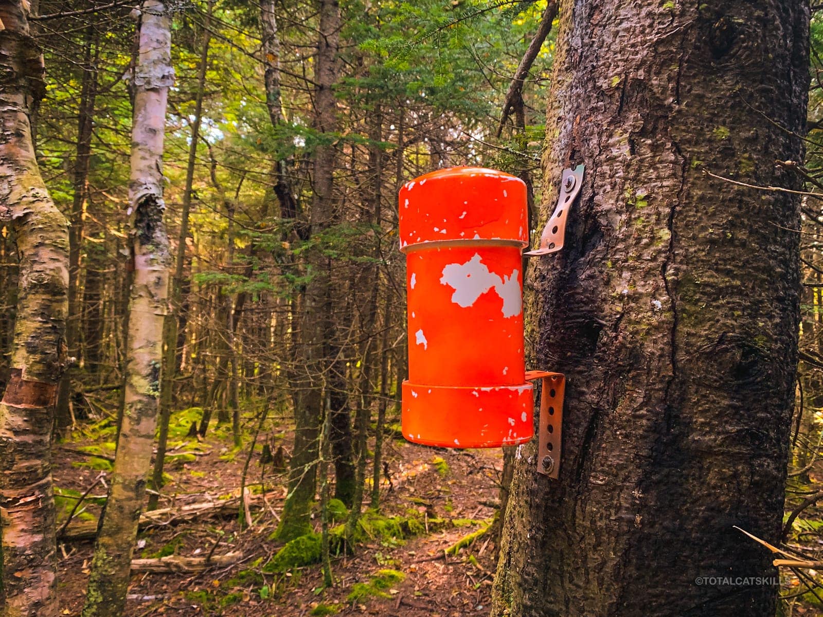
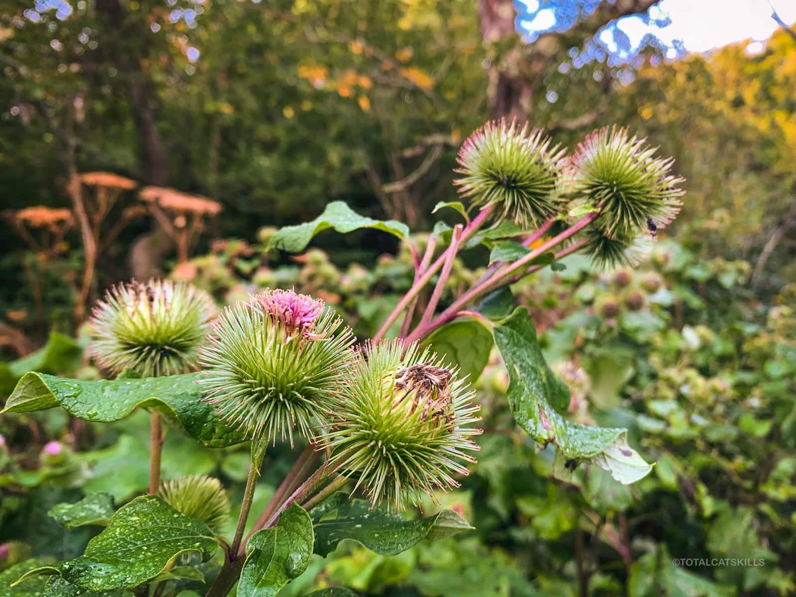
I signed in and decided to snack and rest before the hike down to Diamond Notch. While resting, I noticed that every tree around the canister seems to be of a different species.
[auMC2]
The Hike Out
Return to the junction with the Devil’s Path. Look for the Devil’s Path red blazes, turn west/left, and start heading downhill.
Apart from a few short and modest inclines, the hike out is almost exclusively downhill. Sometimes, the grade is quite steep. The steep section directly after the junction for Southwest Hunter gives you a good indication of what you can expect during your descent.
This trail is not the most rugged section of Devil’s Path, but it’s still a good deal rougher than the trail you took up to the fire tower.
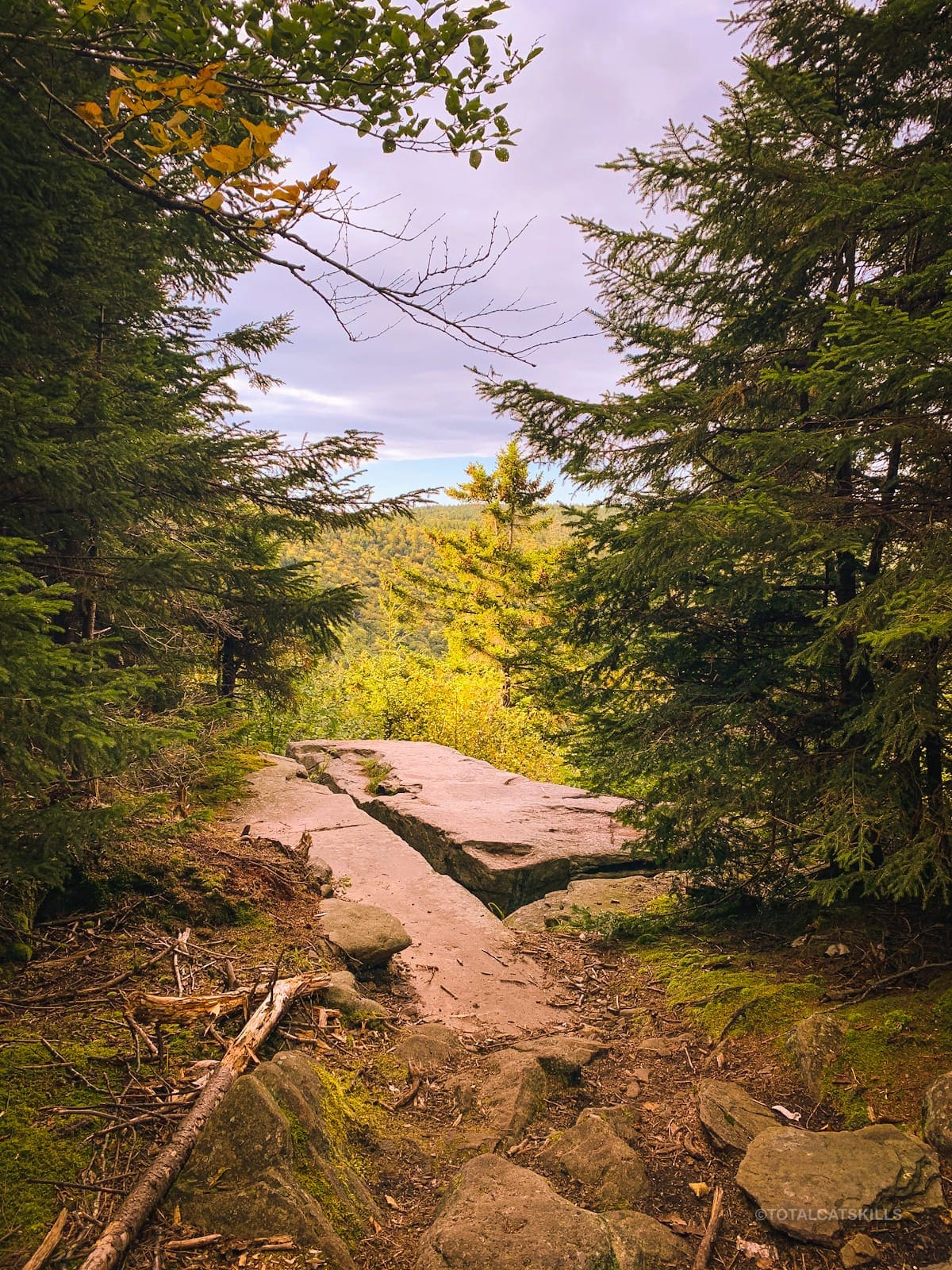
Geiger Point
0.5 miles from the junction with the herd path, you’ll come to Geiger Point, a small split rock ledge with a good view of Southwest Hunter.
Back on the trail, there are many wet spots on this side of Hunter Mountain. At this time of year, after any rain, you’ll find small brooks and watering holes if you need water — although, now, you’re pretty close to Diamond Notch anyway.
Again, there are many muddy and boggy sections, some strewn with logs, others with short sections of rough mountain paving…
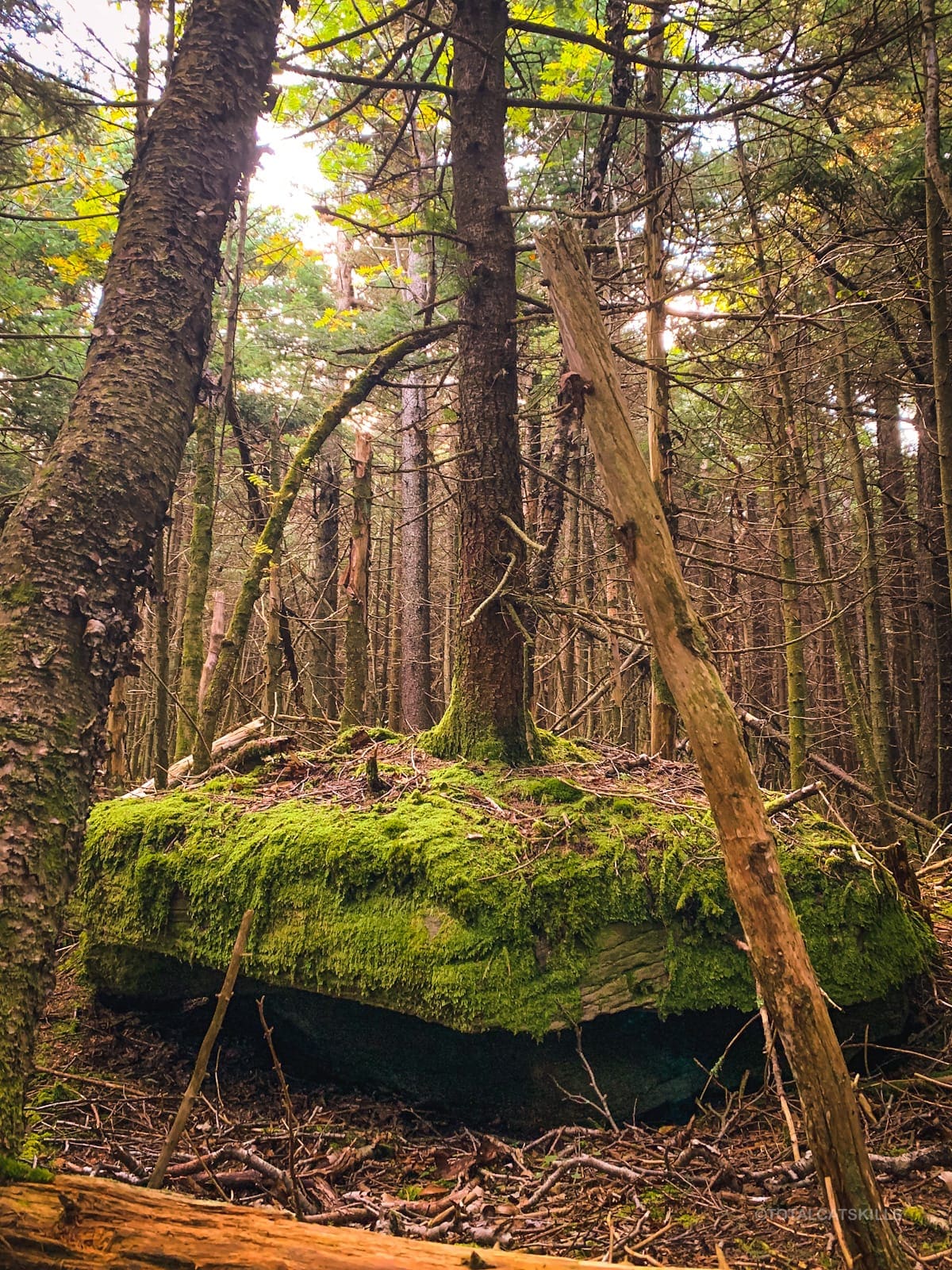
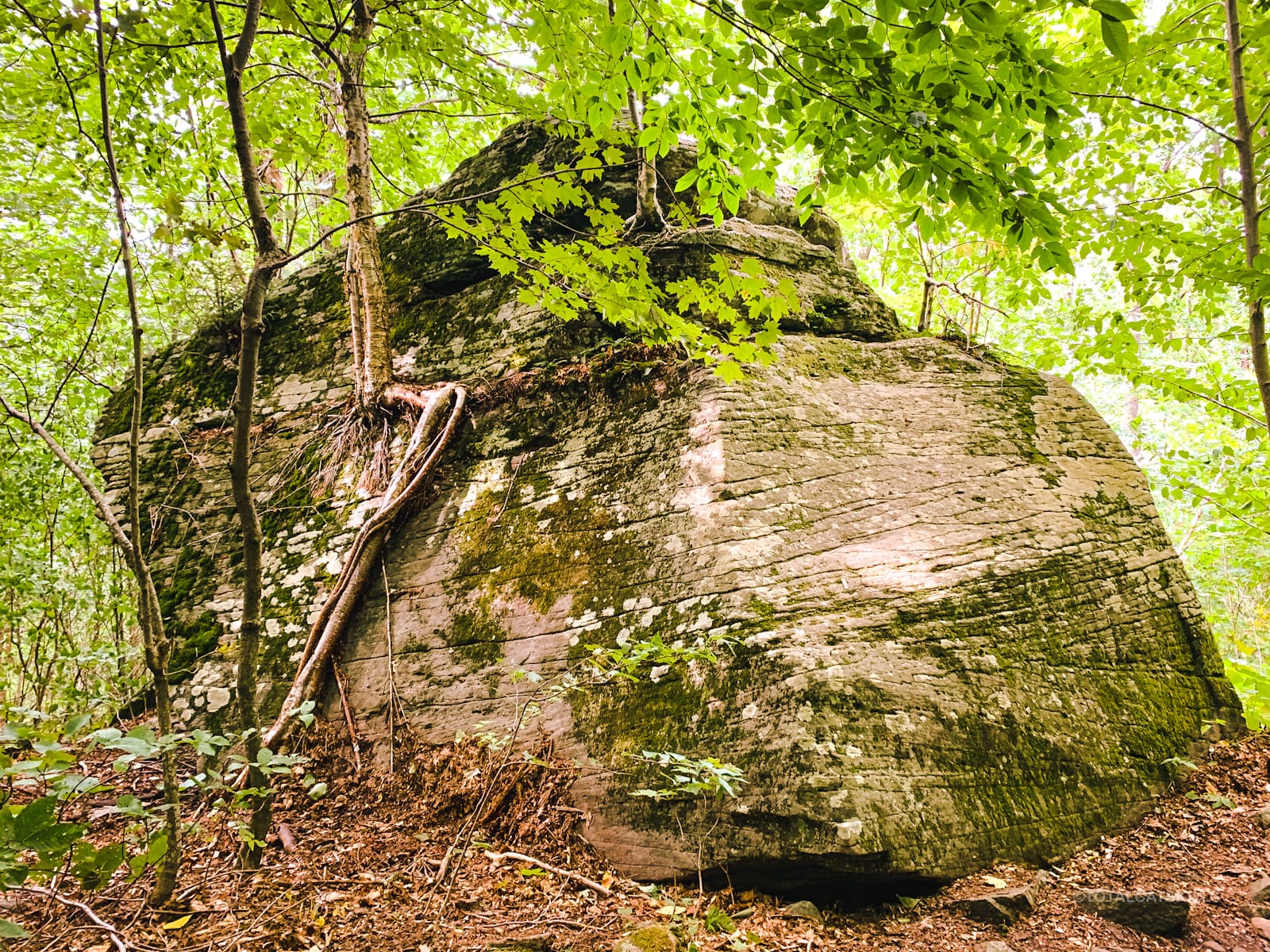
Just below 3250’ you’ll pass two wonderful glacial erratics. The lower one has a birch tree growing on its side…
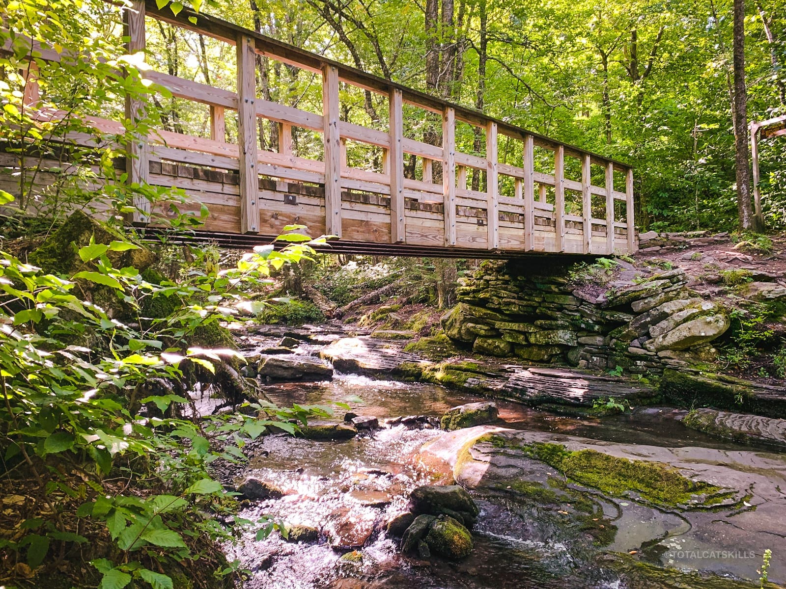
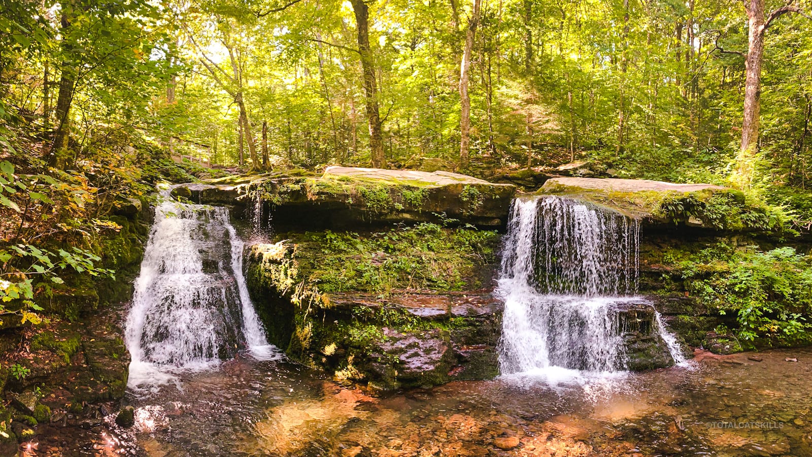
Diamond Notch Falls
After a long tough hike, finally getting down to Diamond Notch is a real treat. This is a very popular spot, as it’s only a mile from a trailhead and the trail up to it is very easy. On this day, by 10:00 am it was already getting busy.
Right from the road, a herd path — short, steep, tricky — leads down to the pools below the falls…
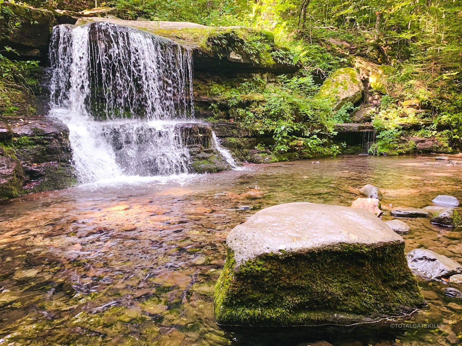
This is great spot to cool off, soak your feet, and just rest by the water’s edge before the final walk to your car.
Road Walk
From the falls, continue downhill and walk out alongside the West Kill river until you pass the West Kill trailhead. Continue via a short road walk back to the Hunter Mountain trailhead. From the falls to the parking area takes 20-25 minutes.
Similar Hikes
- For its sheer scale and beauty West Kill offers a similar, though steeper, set of hiking challenges — with some exceptional trail and scenery.
- West Kill can be hiked from Diamond Notch Falls by crossing the footbridge, or from the terminus of the Devil’s Path on its west end via St. Anne’s Peak.
- Also similar in scale is Panther Mountain. It can be hiked from several directions, each of which offer long, challenging, beautiful routes.

Hunter Mountain (Loop) Trailhead
Medium-size lot, very popular.
Google Maps Location: 42.184108, -74.271578
The map below shows the exact topographic location of the trailhead
Cell Service
No signal at the trailhead but improves when you get up high. Increasingly spotty again as you descend. My network is Verizon. YMMV.
2 responses to “Hunter Mountain (Loop)”
Your comments are welcome here…
The parent mountain for this hike is Hunter.

Having climbed all the mountains in the Catskills at least five times, I think I know the area pretty well. Your hike descriptions are very well written and easy to follow!
Wow, I’m a long way behind you and I can’t wait to (try) catch up! I really appreciate this comment. Thank you very much.