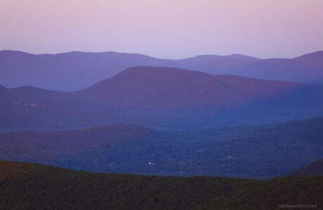
Steep
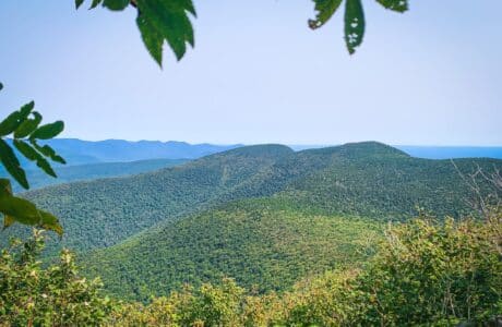

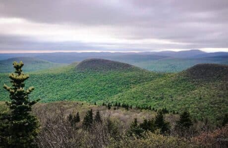
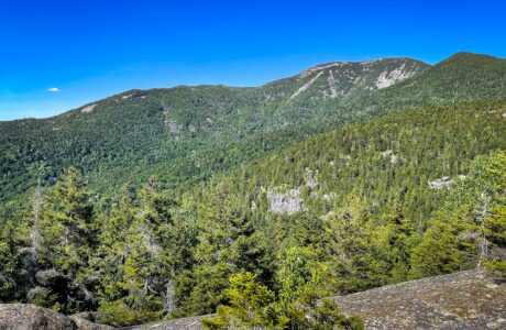
Burroughs Range Trail Loop
Incredible two-day hike over the highest and finest terrain in The Catskills.

Hunter Mountain via Becker Hollow Trail
The shortest route to highest-situated fire tower in New York State is one of its steepest trails.
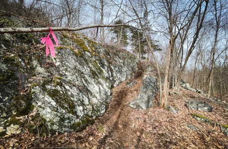
Bushwhack Ticetonyk South Ridge
A steep bushwhack through old farmland, dotted with stone fences, to excellent unique views.
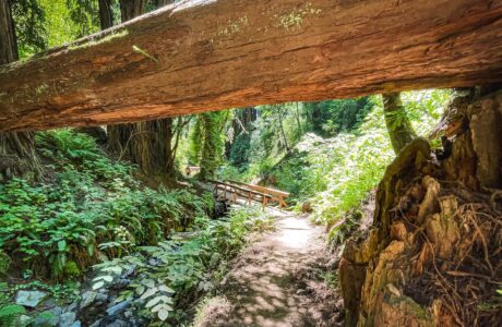
Steep Ravine, Dipsea Trail & Matt Davis Loop
The storied Steep Ravine/Dipsea/Matt Davis loop has it all: Redwoods, gorges, chaparral, even the Pacific Ocean.
Mount Beacon Fire Tower via Casino Trail
The short and very scenic route to Mount Beacon’s Fire Tower.
Stissing Mountain from Thompson Pond
A fun new route up the steep and rugged eastern side of Stissing Mountain.
Van Wyck to Table & Peekamoose
Two plane wrecks. Two bear holes. Two talus fields. One incredible view.
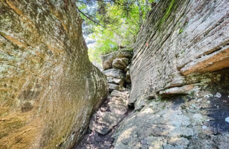
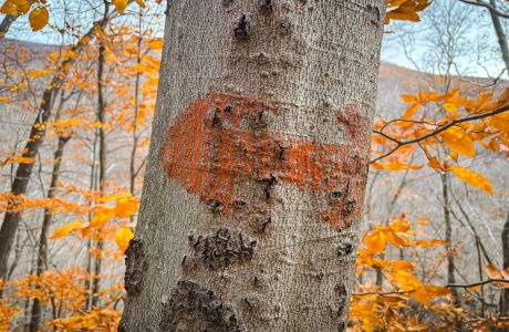
Devil’s Path Trail (Ultimate Guide)
Everything you need to know about the Devils Path — one of the most difficult hiking trails in New York State.
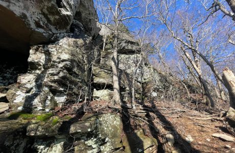
Kaaterskill High Peak via Hurricane Ledge
Hiking Kaaterskill High Peak via Hurricane Ledge means a long wet hike in to the base of the summit — but then an epic Catskills climb.
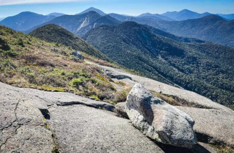
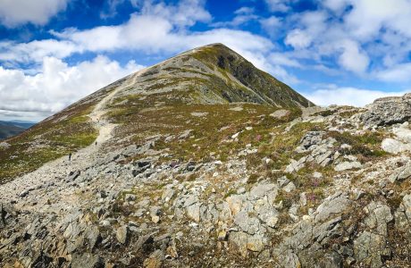
Giant Mountain
Giant Mountain is one of the most popular peaks in the Adirondacks. This route offers a super fun climb and a super scenic descent.
