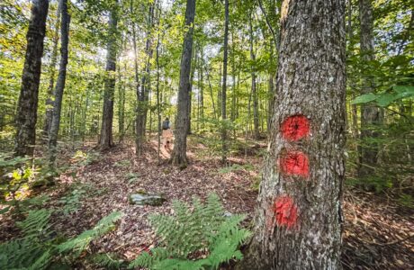
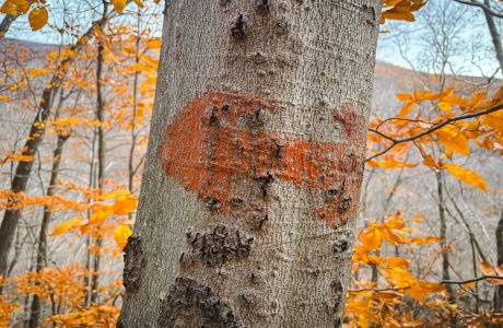
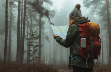
True Bushwhack
This list is a subset of the main bushwhack list. It contains hike reports for hikes that contain true bushwhacks — those routes with sections where there are no herd paths to follow.
These are categorically risky hikes. For safety, they are best undertaken in groups. If you solo bushwhack, make sure to leave a clear hike plan with your contact, and that your contact has the correct emergency number to call if you do not check in by your appointed time.
Before attempting any bushwhack hike listed below, please read the main bushwhack list page and practice several easier bushwhack hikes until you are completely confident in your abilities.
Warning! Absolutely crucial to bring on any bushwhack hike: a paper map and physical compass and the skills to use them.
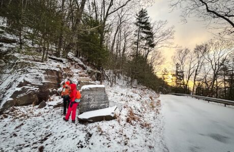
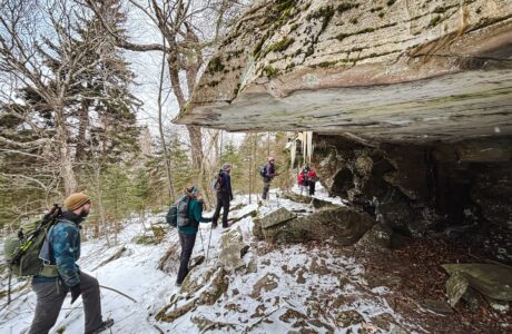
Bushwhack Panther via Bear Poop Ridge
A tough off-trail route to bushwhack to Panther’s incredible summit.
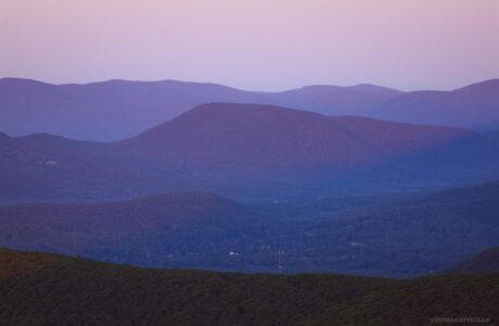
What’s Next for the Formerly Trailless Catskill High Peaks?
Here’s what you need to know about what’s about to happen…
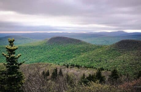
Rocky & Lone from Moonhaw
A long, lovely, difficult bushwhack—best hiked with a fun, solid crew.
Bushwhack Ticetonyk South Ridge
A steep bushwhack through old farmland, dotted with stone fences, to excellent unique views.
Teach Yourself How to Use a Compass
This short step-by-step guide makes the process straightforward and enjoyable.
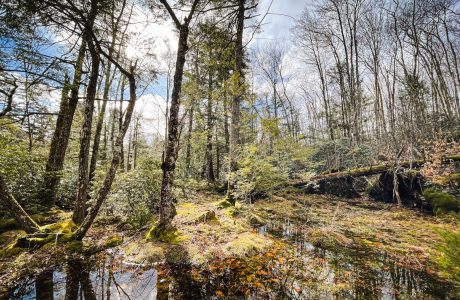
Hodge Pond 3: The Nazgûl Loop
A route that combines so many strange and disparate elements, it’s unforgettably weird!
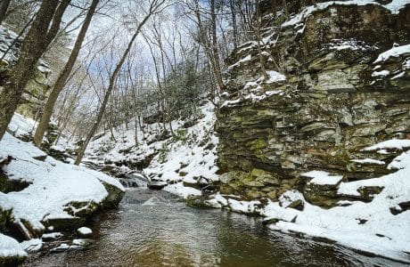
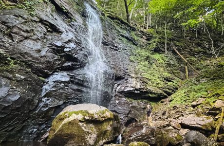
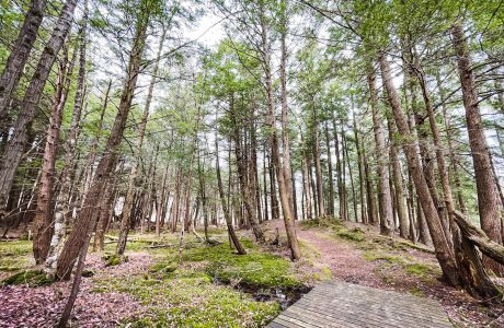
Secret Hike: Waterfall Superhighway
A stunning Catskills “canyon” dotted with multiple gorgeous waterfalls.
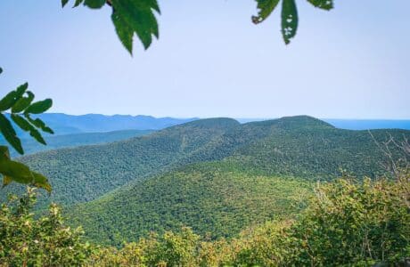
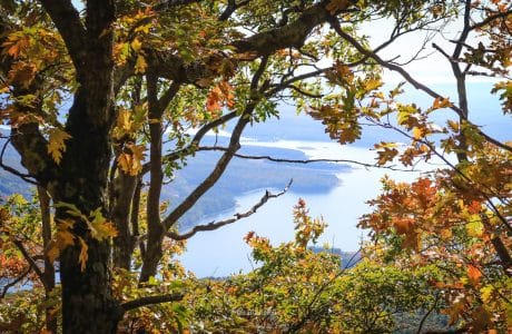
Van Wyck to Table & Peekamoose
Two plane wrecks. Two bear holes. Two talus fields. One incredible view.
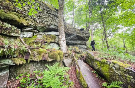
Secret Hike: Gunks in the Cats
A true bushwhack to a surprisingly Gunks-like patch in the heart of The Catskills.
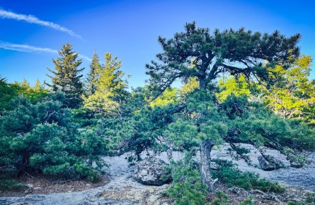
Secrets of Samuels Point
A short but challenging bushwhack to the strange and beautiful summit of Samuels Point.
