True Bushwhack
This list is a subset of the main bushwhack list. It contains hike reports for hikes that contain true bushwhacks — those routes with sections where there are no herd paths to follow.
These are categorically risky hikes. For safety, they are best undertaken in groups. If you solo bushwhack, make sure to leave a clear hike plan with your contact, and that your contact has the correct emergency number to call if you do not check in by your appointed time.
Before attempting any bushwhack hike listed below, please read the main bushwhack list page and practice several easier bushwhack hikes until you are completely confident in your abilities.
Warning! Absolutely crucial to bring on any bushwhack hike: a paper map and physical compass and the skills to use them.
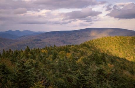
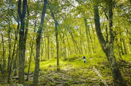
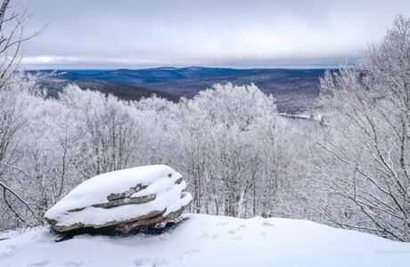
Secret Hike: Gunks in the Cats
A true bushwhack to a surprisingly Gunks-like patch in the heart of The Catskills.
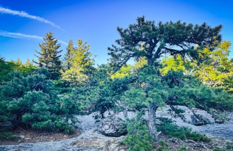
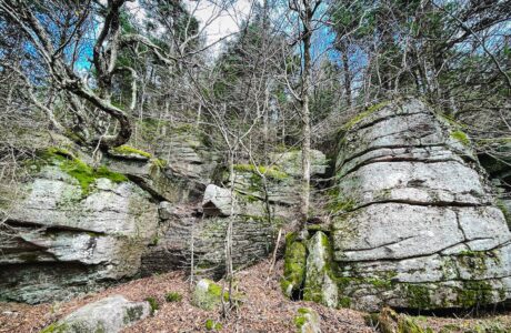
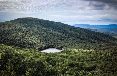
Secrets of Samuels Point
A short but challenging bushwhack to the strange and beautiful summit of Samuels Point.
Should We Stop Bushwhacking the Catskills?
I asked, “How can hikers best use the mountains right now, in terms of bushwhacking? Should we cool it for a while?”
Mombaccus & Ashokan High Point
This steep, difficult double-peak hike is so rewarding on so many levels.

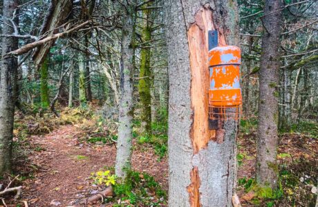
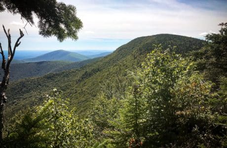
North Dome, Mount Sherrill & Hagadone Hollow
The bushwhack over North Dome and Mount Sherrill is never easy. I found a way to make it even more difficult.
Table, Peekamoose, Lone & Rocky
The easiest and most beautiful route to Lone and Rocky — but this is still one of the hardest hikes in The Catskills
Richmond Mountain & Richtmyer Peak
Just parking for Richmond Mountain is 4WD dirt road dogfight.
Fir & Big Indian
This long hike mixes beautiful Catskills trails and fun water crossings with a long bushwhack section over two substantial mountain peaks.
Mill Brook Ridge via Kelly Hollow
This is the shortest route to Mill Brook Ridge’s summit over public land. It includes a full loop of Kelly Hollow, one of the most beautiful hiking trails in the Catskills. A short-but-steep bushwhack connects the two locations.
Rocky and Lone via Fisherman’s Path
Due to the remoteness of its two mountains, the ruggedness of the terrain, and the skin-shredding forest, this is widely regarded as the toughest hike in the Catskills.
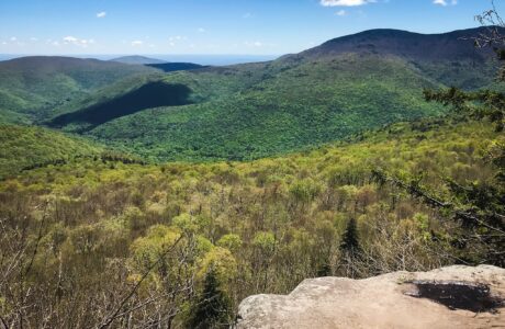
Giant Ledge & Panther & Bushwhack
This classic route to Giant Ledge is a short moderate hike with a huge pay-off: a series of ledge views which are spectacular in all seasons. This is one of the most popular hiking trails in the Catskills.
Thru-Hike Doubletop, Graham & Balsam Lake
This hike had it all: stream crossings, herd paths, bear prints, a canister, a memorably steep descent, a true bushwhack, a rugged ascent, an ice grotto, some old ruins and, to top it all off, a fire tower with amazing sunset views.
Hike from Platte Clove to Plattekill to Echo Lake
This hike is mostly very easy, with about 75% on well-marked trail. However, the bushwhack to the scenic lookout on the south side of Plattekill is extremely difficult, and presents some dangers.
Friday, Balsam Cap & B-25 Crash Site
A long, tough, rewarding hike that follows woods roads and herd paths, and ends with a true bushwhack to the wreckage of a WWII military bomber.