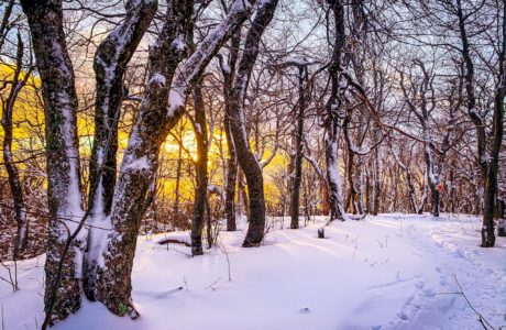
Bushwhack
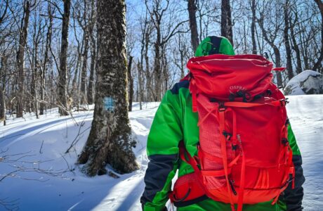
The dictionary definition of bushwhack is “to travel in wild or uncultivated country”. For hikers, this means heading off-trail — leaving trail markers behind and relying on your knowledge, senses and skill to travel terrain few people dare to travel.
If you crave solitude, or just want to steer clear of crowded hiking trails, bushwhacking gives you the best shot at long stretches of uninterrupted deep nature-time.
Bushwhacking in the Catskills
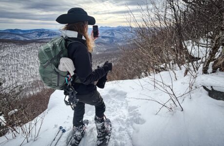
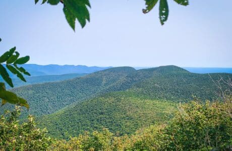
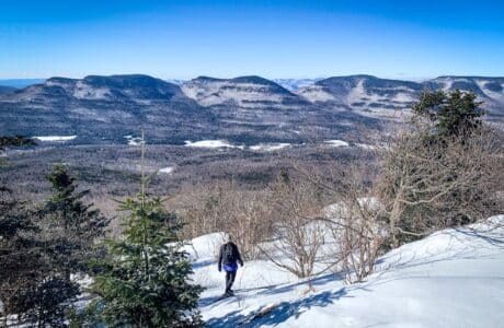
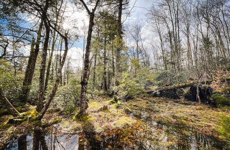
In the Catskills, bushwhacking often means hiking through open woods, forging your own route toward a summit. It’s a great way to get away from crowded trails and see a few things few people get to see.
Sometimes, it means pushing through dense hobblebush or mountain laurel, or through thick conifer woods where the visibility is reduced, essentially, to zero. It’s a fantastic way to get scratched up and bleed a little.
Bushwhack Practice
Two mountains that are often recommended for beginner bushwhackers are Halcott and Rusk. Both offer short (but very steep) bushwhack hikes. They are great learner mountains for this skill.
Not sure how to get started? Join a well-run group hike, hire a guide for a day, or have an experienced hiker show you the ropes.
Bushwhacks vs True Bushwhacks
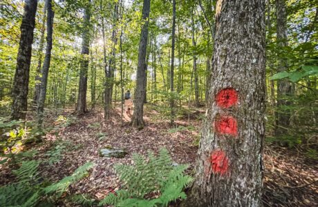
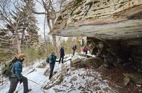
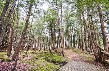
Many of the Catskills bushwhacks are now bushwhacks in name only. For example, Vly is a bushwhack mountain but it has a clear herd path that leads directly from the main trail to the canister.
Halcott and Rusk both have herd paths now, especially as you get near their summits.
Friday’s herd paths are tricker to pick up, but it’s hard to think of even Friday as a true bushwhack these days.
These are all fun hikes. But the further you hike from trails and herd paths, the quieter the mountains become, and the more likely you are to encounter wildlife.
Below, I’ve included all bushwhack hikes — but you can also focus on only the true bushwhacks.
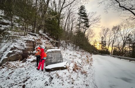
Bushwhacking Risks
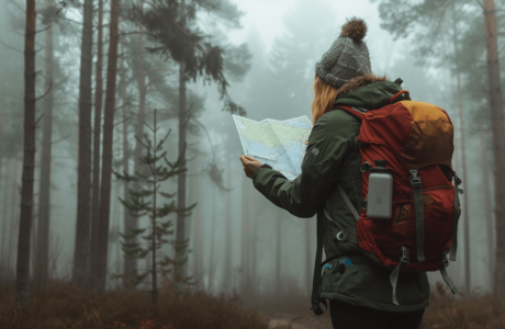
Any bushwhack hike includes a greatly heightened risk of becoming lost. You must know how to navigate without GPS. That is: with a map and compass.
SectionHiker has some good bushwhacking tips. Adirondack Experience has a great bushwhacking primer.
Warning! On any bushwhack hike, no matter how short, it’s absolutely critical to bring three things with you: a paper map, a physical compass, and the skills to use both. Do not rely on your phone’s GPS.
North Dome & Mount Sherrill from Timber Lake Camp
Steep and beautiful. This is a super fun way to hike North Dome.
Bushwhack Panther via Bear Poop Ridge
A tough off-trail route to bushwhack to Panther’s incredible summit.
Rocky & Lone from Moonhaw
A long, lovely, difficult bushwhack—best hiked with a fun, solid crew.
Bushwhack Ticetonyk South Ridge
A steep bushwhack through old farmland, dotted with stone fences, to excellent unique views.
Teach Yourself How to Use a Compass
This short step-by-step guide makes the process straightforward and enjoyable.
Hodge Pond 3: The Nazgûl Loop
A route that combines so many strange and disparate elements, it’s unforgettably weird!
Southwest Hunter from Stony Clove Notch
A steep but straightforward route to one of the easiest bushwhack summits in the Catskills.
