Bushwhack
The dictionary definition of bushwhack is “to travel in wild or uncultivated country”. For hikers, this means heading off-trail — leaving trail markers behind and relying on your knowledge, senses and skill to travel terrain few people dare to travel.
If you crave solitude, or just want to steer clear of crowded hiking trails, bushwhacking gives you the best shot at long stretches of uninterrupted deep nature-time.
Bushwhacking in the Catskills
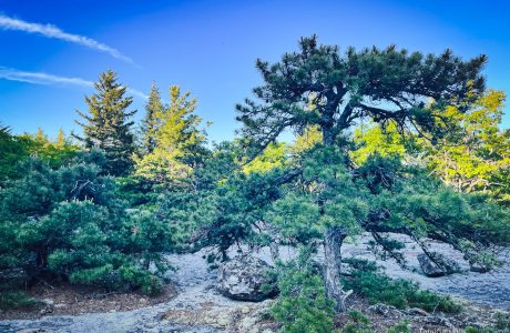
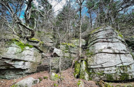
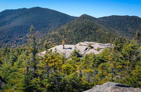
In the Catskills, bushwhacking often means hiking through open woods, forging your own route toward a summit. It’s a great way to get away from crowded trails and see a few things few people get to see.
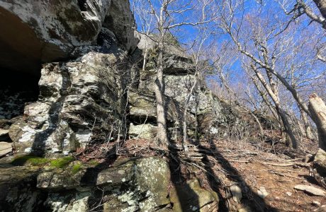
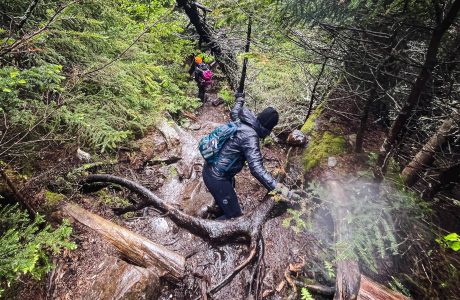
Sometimes, it means pushing through dense hobblebush or mountain laurel, or through thick conifer woods where the visibility is reduced, essentially, to zero. It’s a fantastic way to get scratched up and bleed a little.
Bushwhack Practice
Two mountains that are often recommended for beginner bushwhackers are Halcott and Rusk. Both offer short (but very steep) bushwhack hikes. They are great learner mountains for this skill.
Not sure how to get started? Join a well-run group hike, hire a guide for a day, or have an experienced hiker show you the ropes.
Bushwhacks vs True Bushwhacks
Many of the Catskills bushwhacks are now bushwhacks in name only. For example, Vly is a bushwhack mountain but it has a clear herd path that leads directly from the main trail to the canister.
Halcott and Rusk both have herd paths now, especially as you get near their summits.
Friday’s herd paths are tricker to pick up, but it’s hard to think of even Friday as a true bushwhack these days.
These are all fun hikes. But the further you hike from trails and herd paths, the quieter the mountains become, and the more likely you are to encounter wildlife.
Below, I’ve included all bushwhack hikes — but you can also focus on only the true bushwhacks.
Bushwhacking Risks
Any bushwhack hike includes a greatly heightened risk of becoming lost. You must know how to navigate without GPS. That is: with a map and compass.
SectionHiker has some good bushwhacking tips. Adirondack Experience has a great bushwhacking primer.
Warning! On any bushwhack hike, no matter how short, it’s absolutely critical to bring three things with you: a paper map, a physical compass, and the skills to use both. Do not rely on your phone’s GPS.
Southwest Hunter from Stony Clove Notch
A steep but straightforward route to one of the easiest bushwhack summits in the Catskills.
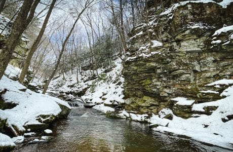
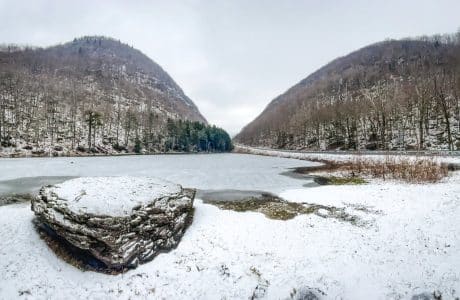
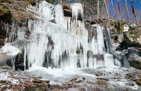
Secret Hike: Waterfall Superhighway
A stunning Catskills “canyon” dotted with multiple gorgeous waterfalls.
Van Wyck to Table & Peekamoose
Two plane wrecks. Two bear holes. Two talus fields. One incredible view.
Jay Mountain Ridge
Jay Mountain Ridge stands as the most rewarding and memorable hiking experience I had in 2022.
Kaaterskill High Peak via Hurricane Ledge
Hiking Kaaterskill High Peak via Hurricane Ledge means a long wet hike in to the base of the summit — but then an epic Catskills climb.
Secret Hike: Gunks in the Cats
A true bushwhack to a surprisingly Gunks-like patch in the heart of The Catskills.
Secrets of Samuels Point
A short but challenging bushwhack to the strange and beautiful summit of Samuels Point.
Should We Stop Bushwhacking the Catskills?
I asked, “How can hikers best use the mountains right now, in terms of bushwhacking? Should we cool it for a while?”
Seymour Mountain Trail Guide
Even in lousy conditions, the long, difficult hike to Seymour Mountain in the Seward Range is super rewarding.

North Dome, Mount Sherrill & Hagadone Hollow
The bushwhack over North Dome and Mount Sherrill is never easy. I found a way to make it even more difficult.
Table, Peekamoose, Lone & Rocky
The easiest and most beautiful route to Lone and Rocky — but this is still one of the hardest hikes in The Catskills
Dix Range from Elk Lake
Demanding and spectacular, the Dix Range is one of the most rugged and scenic Adirondack mountain ranges.
Richmond Mountain & Richtmyer Peak
Just parking for Richmond Mountain is 4WD dirt road dogfight.
Thru-Hike North Dome & Mount Sherrill
This intense bushwhack route over two of the most difficult Catskills peaks is challenging and rewarding.
Fir & Big Indian
This long hike mixes beautiful Catskills trails and fun water crossings with a long bushwhack section over two substantial mountain peaks.
Doubletop & Graham CLOSED PERMANENTLY!
Latest info for hiking Graham & Doubletop. Please read. Important changes are being instituted…
